How to Generate Contour Lines From Drone Data (WebODM, QGIS, Pix4D)
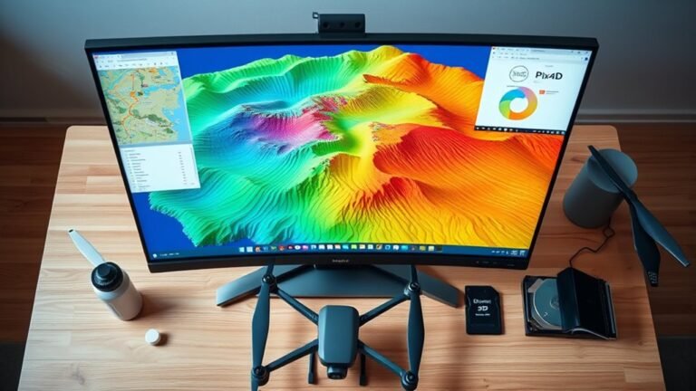
I compare WebODM, QGIS, and Pix4D contour workflows from drone data, revealing which outputs are most accurate and why the best choice is not obvious.
I compare WebODM, QGIS, and Pix4D contour workflows from drone data, revealing which outputs are most accurate and why the best choice is not obvious.