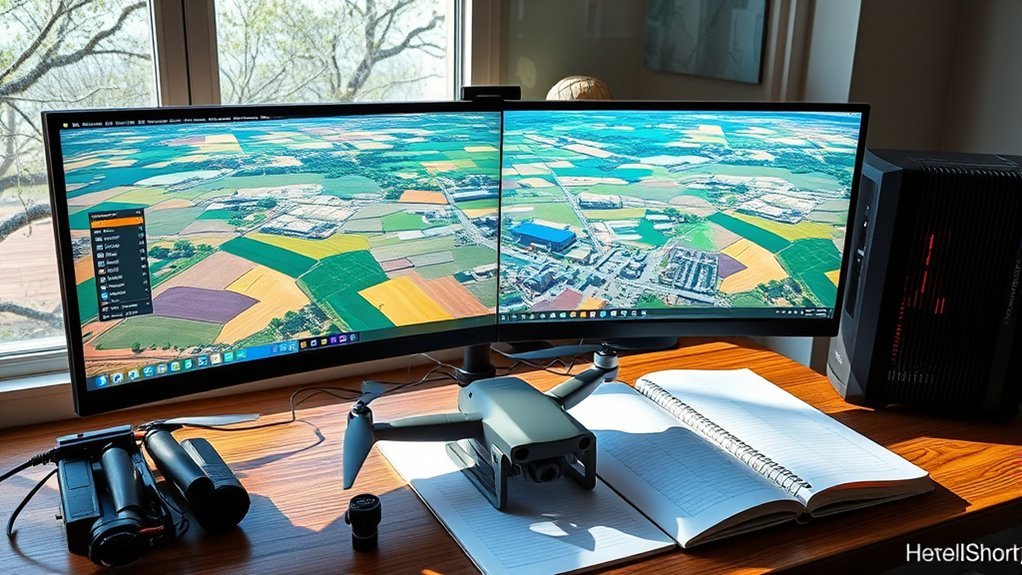
Orthomosaic processing software should be chosen by project outputs, terrain relief, budget, and workflow needs. Flat sites may use simpler 2D stitching, while slopes and quarry walls require strong 3D support and GCPs. Desktop tools offer deeper control but need better hardware; cloud platforms emphasize speed and collaboration. Reliable processing also depends on 70–85% overlap, stable camera settings, and GeoTIFF exports. Typical systems benefit from an i7 or Ryzen 7, 32 GB RAM, SSD storage, and GPU acceleration.
How to Choose Orthomosaic Software
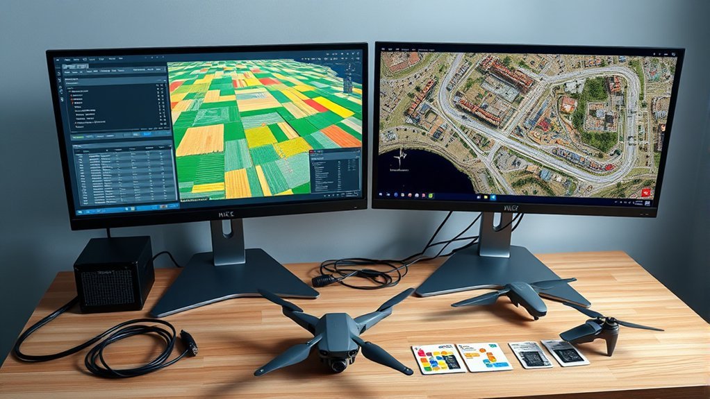
When selecting orthomosaic software, the evaluation should begin with project requirements rather than brand preference. Required outputs, whether orthomosaic deliverables, DEMs, or surface models, define the technical threshold. Minimum feature size, total area coverage, and target accuracy establish whether a given processing software can support autonomous, dependable mapping workflows.
Environmental conditions also matter: agricultural fields, forests, and dense urban corridors impose different overlap needs and can affect alignment reliability and final data quality.
Selection should then proceed through budget considerations and operational fit. Free tools such as WebODM may satisfy constrained deployments, while premium systems like Agisoft Metashape and Pix4D Mapper offer broader controls and advanced reconstruction options at higher cost.
Processing performance should be judged against mission scale, expected turnaround, and hardware capacity. Community feedback from experienced users can further expose usability limits, error patterns, and practical best practices, enabling a more independent and informed software decision.
Desktop vs Cloud Orthomosaic Software
| Factor | Practical implication |
|---|---|
| Control | Desktop tools enable granular parameter tuning. |
| Speed | Cloud platforms often return results faster. |
| Cost | Desktop licenses require higher upfront spending. |
| Access | Cloud access supports location-independent collaboration. |
| Hardware | Desktop workflows depend on stronger local systems. |
Agisoft Metashape and Pix4DMapper exemplify desktop control, but they commonly demand substantial investment and longer runtimes on modest computers. SkyeBrowse and WebODM illustrate streamlined cloud workflows, including low-cost or free entry paths in some cases. The decision thus concerns whether operational liberation is better achieved through maximum customization or through frictionless, accessible processing.
Do You Need 3D for an Orthomosaic?
An orthomosaic does not inherently require a 3D model, particularly where ground conditions are flat and 2D image stitching is sufficient.
As terrain relief and non-planar surfaces increase, elevation information becomes more important for maintaining geometric consistency across the mosaic.
In such cases, 3D reconstruction improves positional accuracy and seam quality, even when the final deliverable remains a 2D orthomosaic.
Flat Ground Exceptions
Flat terrain presents a practical exception to full 3D reconstruction in orthomosaic generation. In orthomosaic mapping, planar sites can often be stitched accurately from overlapping imagery alone, avoiding unnecessary dependence on a dense point cloud. This streamlined approach supports efficient, liberated workflows when surface elevation remains uniform.
- Overlap drives image alignment on flat ground.
- Consistent Ground Sample Distance preserves resolution and scale.
- Ground control points improve positional accuracy and verification.
- Simplified processing reduces compute load and turnaround time.
Even in these cases, disciplined capture geometry remains essential. Reliable overlap, stable altitude, and calibrated optics govern final quality.
Ground control points remain valuable safeguards against drift and misregistration. While elevation data becomes decisive once surfaces depart from planarity, flat-ground projects can proceed accurately without full 3D modeling, provided acquisition standards are rigorously maintained.
Terrain Relief Matters
Terrain relief changes the processing requirements fundamentally: once the mapped surface departs from a single plane, orthomosaic generation typically needs 3D elevation context to place each image pixel correctly and suppress perspective distortion during stitching.
| Surface | 3D need | Risk |
|---|---|---|
| Flat lot | Low | Minimal |
| Rolling field | Moderate | Shift |
| Steep slope | High | Smear |
| Quarry wall | High | Lean |
Without elevation support, a georeferenced aerial image may align globally yet fail locally, producing seams, lean, and false geometry. Flat terrain can free beginners from immediate 3D dependence, but significant terrain relief demands disciplined elevation inputs or an existing surface model. This requirement is procedural, not optional, when reliable image placement is the goal. Neglecting terrain relief constrains autonomy by embedding preventable spatial error into the final orthomosaic product.
3D Models Improve Accuracy
Consider the surface geometry first: orthomosaic accuracy improves when image processing includes a 3D model or other reliable elevation input to correct perspective displacement across non-planar areas. For users seeking operational freedom, the requirement depends on relief, tolerances, and output purpose.
- Non-planar terrain usually benefits from a 3D model for stitching, alignment, and distortion control.
- Elevation-informed processing improves accuracy where slopes, embankments, structures, or abrupt grade changes exist.
- Flat, uniform sites may support a 2D orthomosaic workflow with acceptable accuracy and lower processing cost.
- Tools such as Pixpro and WebODM can bypass dense point clouds when speed matters more than maximum terrain fidelity.
The method consequently should match topography and decision risk, enabling efficient production without surrendering positional integrity or practical autonomy in demanding mapping workflows.
Best Orthomosaic Software for Every Budget
Which orthomosaic platform represents the best value depends on budget, processing scale, and required output accuracy. For users seeking autonomy, drone mapping software ranges from open-source to premium enterprise tools, each balancing cost, processing options, and GeoTIFF file export capability.
| Software | Cost | Best Fit |
|---|---|---|
| WebODM | Free to $57 | Low-cost, open-source workflows |
| Metashape | $3,499 | Large image sets, high resolution |
| Pix4DMapper | $4,999 | Georeferenced 2D and 3D deliverables |
| Correlator3D | $5,990 | Fast, accuracy-driven photogrammetry |
| SkyeBrowse | Tiered cloud pricing | Rapid orthomosaics from drone video |
WebODM lowers entry cost while preserving control for technically independent operators. Metashape supports up to 50,000 images, making it efficient for dense, high-detail mapping. Pix4DMapper remains strong for structured geospatial production. Correlator3D prioritizes speed and precision where throughput matters. SkyeBrowse offers flexible cloud scaling for teams needing rapid results without local hardware constraints. Each option liberates different constraints: capital, time, complexity, or infrastructure.
Best Software for Beginner Mapping
For beginner mapping, the most effective software minimizes setup complexity while still producing reliable orthophotos and standard geospatial outputs. In Drone Photogrammetry, the most practical entry points emphasize rapid results, transparent workflows, and freedom from unnecessary processing burdens.
- WebODM is highly recommended because the software is easy to use, generates orthophotos efficiently, and does not demand deep photogrammetric expertise.
- SkyeBrowse offers cloud-based convenience by converting drone video into GeoTIFF orthomosaics quickly, with reported accuracy around 0.5 to 1 inch per pixel.
- Pixpro suits users focused on 2D deliverables, since it can create true orthophotos without forcing dense point cloud generation.
- QGIS serves as a strong post-processing environment for editing, refining, and validating orthophoto outputs after initial creation.
Beginners also benefit from active online communities, where shared field experience and troubleshooting knowledge accelerate experimentation, reduce dependency on opaque methods, and expand mapping autonomy.
Computer Specs for Orthomosaic Processing
Orthomosaic processing performance is governed primarily by CPU class, available RAM, and GPU acceleration support. A multi-core processor such as an Intel i7 or AMD Ryzen 7, paired with at least 16 GB of RAM and preferably 32 GB or more, provides a practical baseline for large image sets.
Storage and system setup also affect throughput, with SSDs of at least 512 GB and high-resolution displays improving data access, review accuracy, and overall workflow efficiency.
CPU, GPU, And RAM
Effective orthomosaic processing depends heavily on balanced computing hardware, with CPU core count, GPU capability, and available RAM directly affecting speed and stability.
- CPU: A multi-core processor, ideally 8 cores or more, improves parallel task execution and shortens rendering cycles.
- GPU: A dedicated GPU with at least 4 GB VRAM accelerates computation in applications such as Pix4D and Agisoft Metashape.
- RAM: At least 16 GB RAM supports basic workloads, while 32 GB or more better sustains large datasets and complex reconstructions.
- System balance: Meeting or exceeding recommended software specifications reduces bottlenecks and enables a more autonomous, interruption-free workflow.
This hardware combination gives operators greater control over processing throughput, minimizes lag, and supports reliable orthomosaic generation under demanding project conditions.
Storage And System Setup
Prioritize fast, reliable storage and a stable software environment, since both directly affect orthomosaic processing throughput and file handling efficiency. SSD storage of 500 GB or more is recommended to reduce load times, speed cache access, and accommodate large project files without bottlenecks.
For users seeking independence from delays, this foundation removes needless constraints during intensive workflows.
System setup should pair updated, compatible operating systems with hardware balanced for the software uses involved. At least 16 GB of RAM is required, while 32 GB or more improves large-dataset processing.
A multi-core Intel i7 or AMD Ryzen 7 strengthens compute performance. A dedicated GPU with at least 4 GB VRAM further accelerates rendering and image alignment in applications that support GPU-assisted processing, enabling more controlled, efficient production.
Flight Setup for Better Orthomosaics
Plan each mission with a grid flight path and 70–85% front and side overlap so the software receives enough common visual features to stitch images accurately. This disciplined structure gives overlapping images the consistency needed for reliable alignment and grants operators more control over final map quality in the field.
- Select altitude deliberately, because Ground Sample Distance (GSD) governs measurable detail. Near 100 ft, imagery commonly reaches about 0.5–1 inch per pixel; higher flights increase GSD and reduce resolution.
- Place Ground Control Points (GCPs) across the site to anchor imagery to surveyed coordinates, reducing drift and geometric distortion.
- Maintain constant flight speed. Uniform motion helps preserve exposure consistency, focus stability, and balanced image spacing for processing.
- Optimize camera settings for current light: low practical ISO, sufficiently fast shutter speed, and suitable aperture to suppress motion blur and preserve sharp features.
Methodical flight setup creates cleaner source data and fewer correction burdens later.
Best Export Settings for Orthomosaics
Choose export settings according to the intended use, because output format, compression, and image scale directly affect usability, fidelity, and file size.
For GIS workflows, GeoTIFF remains the preferred choice because it preserves embedded geolocation and integrates reliably with platforms such as QGIS and ArcGIS. To reduce storage burden without surrendering data integrity, LZW compression should be applied to GeoTIFF exports, providing lossless compaction and efficient archival.
GeoTIFF is the GIS export standard, preserving geolocation, while LZW compression reduces storage without compromising data integrity.
For JPG delivery, export quality settings from 0% to 100% control the tradeoff between visual clarity and file weight; lower values rapidly degrade detail and should be reserved for lightweight previews.
When preparing outputs for Google Earth, KML or KMZ packages should respect size constraints by using approximately 25% image scale and ideally remaining below 1GB.
Blending mode also matters: Minimal and Full address general mosaicking needs, while Deghost improves moving-object rendering but increases processing time and computational demand overall.
Common Orthomosaic Mistakes
Avoidable errors in orthomosaic production usually originate upstream in data capture and propagate through processing into visible defects and positional inaccuracy. Effective image acquisition discipline reduces downstream correction and frees operators from preventable rework.
- Insufficient overlap: When aerial capture drops below the recommended 70-85% overlap, stitching weakens, producing gaps, seamlines, and misaligned features.
- Missing GCPs: Omitting ground control points weakens georeferencing because images lack surveyed anchors, reducing positional accuracy across the orthomosaic.
- Incorrect resolution choices: Poor scaling settings distort usability; overly fine output inflates storage, while coarse settings degrade clarity and compromise ground sample distance (GSD) requirements.
- Uncorrected imagery and terrain: Noise, lens distortion, and unmodeled elevation changes introduce artifacts and perspective errors. On non-planar surfaces, a 3D model is required for seamless orthorectification.
These mistakes are common, but they are not inevitable. Methodical preprocessing, surveyed control, and terrain-aware workflows enable cleaner mosaics and more trustworthy measurements.
Frequently Asked Questions
What Is the Best Software for Processing Drone Data?
The best software depends on mission requirements: Pixpro for simple aerial photography workflows, WebODM for open autonomy, Metashape for scale, SkyeBrowse for speed, and QGIS for refinement. Software comparison should prioritize data accuracy and operational independence.
What Software Can Be Used to Create Orthomosaic Images?
Software for orthomosaic images includes Pixpro, WebODM, Agisoft Metashape, Pix4DMapper, and OpenDroneMap—engines forging continent-wide clarity through Image stitching techniques, Geographic data integration, and Workflow optimization strategies, methodically empowering users toward autonomous, precision-driven mapping freedom.
What Is the Best Software for Processing Lidar Data?
ArcGIS Pro is often regarded as best for processing lidar data, offering robust Lidar data visualization, rigorous Point cloud analysis, and advanced Terrain modeling techniques, while PDAL and LAStools provide flexible, liberation-oriented alternatives for expert workflows.
What Is the Best Software for Drone Mapping?
Agisoft Metashape is generally the best for drone mapping; software comparison and user reviews cite scalability, high-resolution outputs, and one-time pricing. Pix4DMapper suits field integration, while WebODM and Pixpro support accessible, liberation-oriented workflows efficiently.
Conclusion
Choosing orthomosaic software is less about brand preference than workflow fit, hardware capacity, and mission accuracy. In one FAA-aligned training exercise, a 2 cm/pixel dataset failed simply because overlap dropped below 70 percent on crosswind passes—a reminder that orthomosaic processing behaves like surveying with missing stakes: the whole grid drifts. Careful software selection, correct export settings, adequate compute resources, and disciplined flight planning together determine whether outputs are visually attractive or analytically reliable.
