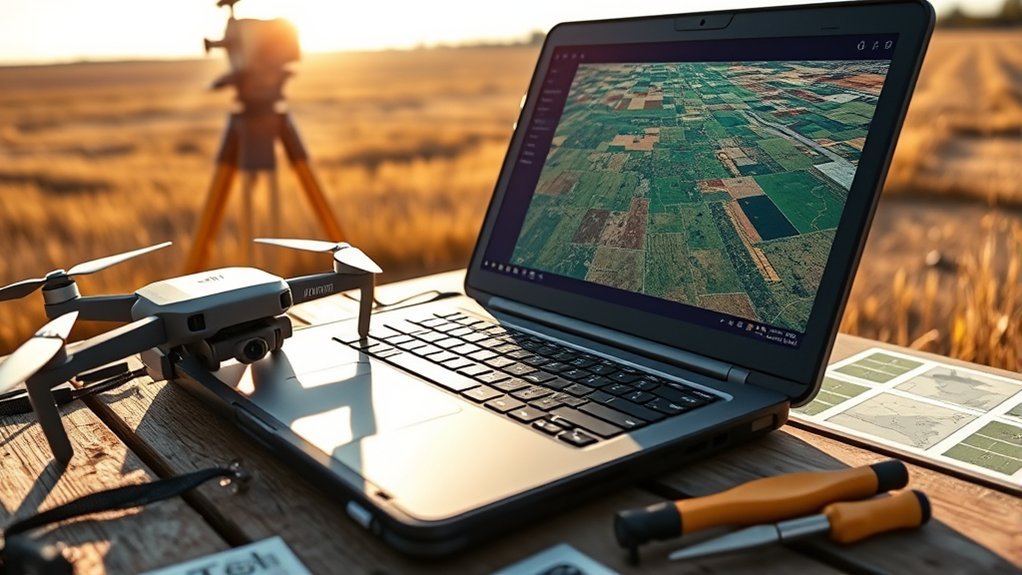
DJI RTK JPGs do not become a usable GeoTIFF by simple import into QGIS. Their geotags mark camera positions, not full raster footprints, so overlap and misalignment are common, especially with CRS mismatches. RTK metadata improves positional accuracy, but orthomosaics still require stitching in photogrammetry software such as WebODM or DJI Terra. After alignment and orthophoto generation, the result can be exported as a georeferenced GeoTIFF. The sections that follow clarify each step and common failure points.
Why Do DJI JPGs Overlap in QGIS?
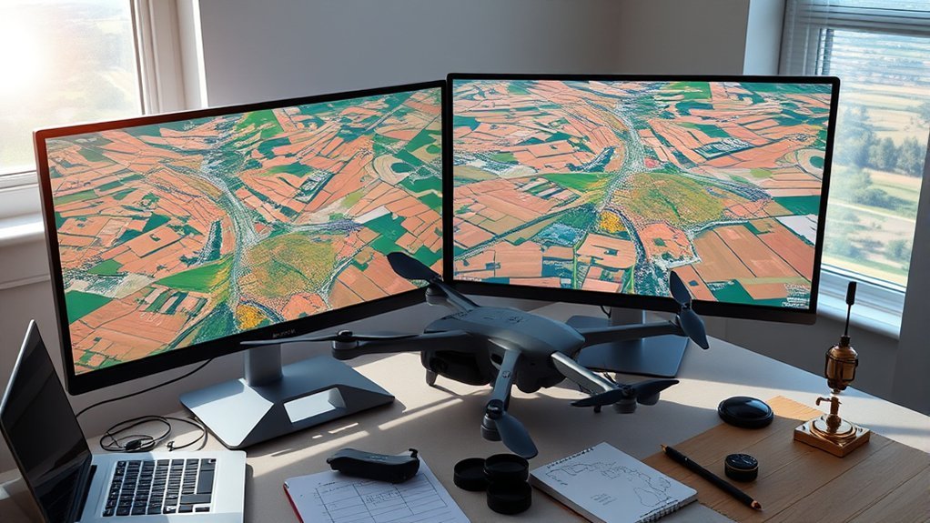
Why do DJI JPGs appear to overlap in QGIS? The effect usually arises from how each DJI drone image stores geotags. Every JPG contains coordinate metadata indicating camera position, yet that metadata alone does not define a fully placed raster footprint inside QGIS.
When the project coordinate reference system differs from the image interpretation, multiple files can seem misaligned or stacked, obscuring spatial truth.
The overlap also reflects absent preprocessing. Raw JPGs are discrete captures, not an assembled surface, so QGIS may place them by point-based georeferencing rather than by resolved image extent.
Raw JPGs remain isolated captures, so QGIS interprets them without a true assembled footprint, leaving spatial overlap unresolved.
Sidecar files such as .jgw can supply placement information that improves raster positioning within the map canvas. More reliable liberation from clutter comes through photogrammetry software, including WebODM, which processes overlapping images into a coherent orthophoto or mosaic.
Without that preparatory step, effective stitching remains constrained, and apparent overlap persists as a structural consequence of incomplete spatial organization and analytical workflow design.
What Can RTK Geotags Actually Do?
RTK geotags address much of the ambiguity that causes raw DJI JPGs to appear poorly placed in GIS software. They provide centimeter-level positions, allowing a mapping mission to escape guesswork and georeference images with disciplined spatial consistency. On a Phantom 4 RTK, those tags help each frame align with existing basemaps, limiting drift, skew, and overlap errors during downstream mosaic creation.
| Function | Effect | Result |
|---|---|---|
| Precise coordinates | Stable frame placement | Cleaner orthophotos |
| Sidecar .jgw data | Correct project alignment | Reliable georeferencing |
| Reduced GCP dependence | Faster field workflow | Greater operational freedom |
RTK geotags also support seamless stitching into high-resolution mosaics by anchoring adjacent images to a shared coordinate logic. When stored through sidecar references such as .jgw, they preserve placement instructions that software can read accurately. The practical consequence is liberation from excessive ground control, while retaining survey-grade positional confidence across the surveyed site.
Which Software Should You Use for Stitching?
Which platform is most appropriate depends on the required output, processing workflow, and tolerance for setup complexity.
WebODM is a strong option for users seeking control without proprietary lock-in. It supports stitching DJI JPG imagery into orthomosaics with a comparatively accessible interface, though new operators should expect an initial learning curve. It is well suited when flexibility, inspectable processing, and broad community support matter more than streamlined vendor integration.
DJI Terra is often preferable when a tightly integrated DJI workflow is desired. It can generate 2D maps, orthophotos, 3D reconstructions, and a point cloud from the same flight mission.
Regardless of platform, capture quality governs final accuracy. A mechanical shutter should be enabled to reduce motion distortion during image acquisition. Proper overlap and disciplined flight parameters remain essential.
In some projects, sidecar files such as .jgw are also required so coordinates align correctly with the target project coordinate system during processing and export.
How Do You Stitch DJI JPGs Into a GeoTIFF?
Begin by importing the DJI JPG images into photogrammetry software such as WebODM or DJI Terra, where the processing engine reads embedded geotags to align the photos and build a georeferenced mosaic. This establishes an efficient workflow for autonomous mapping, minimizing manual intervention while preserving spatial integrity across the dataset for downstream GIS use.
The operator should verify that each JPG contains valid coordinate metadata tied to a known coordinate system before processing begins. If the software requires supplemental georeferencing, sidecar files such as .jgw can support accurate placement.
Verify each JPG carries valid coordinate metadata in a known reference system; .jgw sidecars can reinforce accurate georeferencing when needed.
The next step is to process the images through alignment, dense reconstruction, and orthophoto generation, which corrects perspective distortion and improves tonal uniformity across the surface model.
DJI Terra and comparable platforms then export the final orthophoto as a GeoTIFF, embedding spatial reference information directly in the raster. The result is a portable, analytically reliable map product suitable for measurement, overlay, and liberated spatial decision-making.
How Do You Fix CRS and Alignment Errors?
When CRS and alignment errors appear, the first diagnostic step is to verify that the geotags embedded in each DJI JPG correspond exactly to the coordinate reference system defined in the stitching project, since any mismatch can shift imagery during alignment and export. This emancipates processing from hidden coordinate assumptions. Mapping software should be checked before stitching, confirming the selected CRS and import rules. If JPG geotags are incomplete, sidecar files such as .jgw can supply georeferencing consistent with project coordinates.
| Issue | Cause | Remedy |
|---|---|---|
| Shifted mosaic | Wrong CRS | Match project and geotags |
| Missing placement | Incomplete geotags | Add .jgw sidecar |
| Warped overlap | Poor alignment | Reprocess in WebODM |
| Residual offset | Weak control | Manually adjust points |
If misalignment persists, photogrammetry tools such as WebODM can recompute image relationships and generate a unified orthophoto. Where automatic alignment remains unstable, manual control-point refinement improves spatial accuracy and restores dependable export for analysis.
Frequently Asked Questions
Is DJI Still Blacklisted?
Yes, DJI remains blacklisted in some jurisdictions under evolving DJI regulations, though not universally. International bans vary by region, reflecting concerns over drone safety, data sovereignty, and market competition rather than an extensive global prohibition.
How to Stitch Drone Images Together?
Like weaving a map from light, one stitches drone images using software options that apply image alignment techniques to geotagged overlaps; drone flight planning and stitching accuracy factors, including GSD and coordinates, govern precise orthomosaic output.
Can FAA Know You Flew a DJI Drone?
Yes, the FAA can often determine that someone flew a DJI drone through flight logs, registration records, and remote identification systems; under drone regulations and FAA guidelines, such data can expose operations despite users seeking autonomous airspace freedom.
Is JPEG or DNG Better?
DNG is generally better for maximum Image quality and Editing options, while JPEG advantages include smaller files and faster workflows. Technical analysis favors DNG flexibility for users seeking independent control, precision, and uncompromised post-processing latitude.
Conclusion
In conclusion, DJI RTK JPGs provide precise geotagging, but accurate GeoTIFF generation still depends on disciplined stitching, correct CRS assignment, and careful alignment validation. Overlap in QGIS is typically a metadata and projection issue, not an imaging failure. Software choice determines workflow efficiency, while control over export settings determines spatial reliability. As the adage goes, “measure twice, cut once”: rigorous preprocessing and verification consistently produce dependable mosaics suitable for mapping, inspection, and analytical use.
