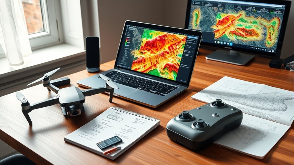
QGIS Drone Plugins greatly enhance geospatial analysis and environmental studies. Key features include flight planning tools, data integration, and vegetation indices calculation. Compatibility varies based on data formats and popular drone models, necessitating regular firmware updates for peak performance. Community support is robust, fostering innovation through user feedback and diverse contributions. While pricing ranges from free to subscription models, understanding the costs and benefits is essential. Exploring further will provide deeper insights into maximizing plugin effectiveness.
Understanding QGIS Drone Plugins
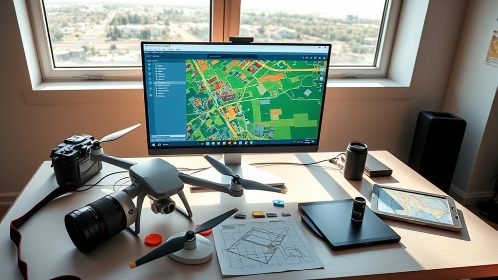
What role do QGIS drone plugins play in modern geospatial analysis? These tools markedly enhance the capacity for vegetation analysis and wildlife detection within various environmental studies.
Importantly, plugins like GeoFlight Planner facilitate efficient flight planning, while others, such as Netflora, focus on forest management and inventory, integrating drone data with geospatial analysis. The ability to generate geo-referenced information empowers researchers and professionals to make informed decisions regarding land use and conservation.
Plugins like GeoFlight Planner and Netflora enhance flight planning and forest management, enabling informed land use and conservation decisions.
User engagement is high, evidenced by the thousands of downloads for popular plugins like Cadmus and GeoPEC, indicating their practical utility in the field. Additionally, many plugins remain in experimental stages, fostering ongoing development and allowing users to influence future features through feedback.
This collaborative environment not only enhances the overall functionality of QGIS drone plugins but also supports a broader mission of sustainable environmental stewardship.
Key Features to Look For in Drone Plugins
When evaluating drone plugins for QGIS, it is fundamental to identify features that markedly enhance geospatial analysis and operational efficiency. Advanced automation capabilities, such as those offered by Cadmus, greatly improve project workflows.
The ability to calculate various vegetation indices, exemplified by CropSense, is essential for detailed analyses of multispectral imagery, allowing the examination of over 22 indices. Moreover, plugins facilitating the creation of orthomosaic flight plans, like Canopy Zoom Photos, enable precise surveying, including the identification of the tallest trees in a given area.
Compatibility with UAV technology is critical; tools such as GeoLogic Flight Planner optimize flight routes and guarantee accurate terrain-following data capture. Additionally, user engagement metrics, demonstrated by the high download counts of GeoPEC and FlyPath, indicate the effectiveness and popularity of these plugins, underscoring their utility in enhancing geospatial productivity.
Is Your Drone Compatible With QGIS Plugins?
Compatibility between drones and QGIS plugins hinges on several critical factors, including data format support and specific plugin requirements.
Popular models, such as the DJI Mini 2 and Phantom 4, offer features that enhance integration, yet users must verify compatibility against plugin specifications.
Additionally, reviewing user feedback and compatibility lists can provide insights into any limitations related to functionality with various drone brands and models.
Key Compatibility Factors
Ensuring drone compatibility with QGIS plugins is essential for effective geospatial analysis. Users must confirm that their specific drone model is supported by plugins like GeoFlight Planner and QGC4QGIS, which enhance UAV technology. It is critical to verify that the drone can export data in formats such as GeoJSON or GeoPackage for seamless integration. Additionally, camera specifications must meet high-resolution imagery standards to improve analytical accuracy. For operators in Brazil, compatibility with D-Flight UAS Geo Zones is indispensable. Regular firmware updates for both the drone and QGIS plugins guarantee peak performance and access to the latest features.
| Factor | Importance | Action Required |
|---|---|---|
| Drone Model | Compatibility with plugins | Confirm model support |
| Data Formats | Integration with QGIS | Check for GeoJSON/GeoPackage |
| Camera Specifications | High-resolution imagery | Verify camera quality |
Supported Drone Models
Supported drone models play an essential role in the effective application of QGIS plugins for geospatial analysis. Compatibility with these plugins guarantees efficient processing of aerial data. Key considerations include:
- Popular Models: QGIS plugins like GeoFlight Planner support DJI Phantom, Mavic, and Inspire series, catering to a broad user base.
- Precision with DJI Mini 2: This model, equipped with built-in GPS, achieves approximately 5 m accuracy, making it ideal for mapping tasks.
- Multispectral Capabilities: Drones with multispectral cameras, such as the Parrot Sequoia, can utilize plugins like CropSense to calculate over 22 vegetation indices, enhancing agricultural analysis.
Before purchasing, users must consult individual plugin documentation to verify compatibility with their chosen drone models and specifications.
Plugin Function Limitations
How can users determine if their drone is compatible with QGIS plugins? Evaluating compatibility involves scrutinizing the plugin function limitations associated with specific drone models. Not all drones support the necessary data formats or integration protocols required by QGIS plugins, such as GeoFlight Planner and Import D-Flight UAS Geo Zones.
Compliance with operational regulations is also essential, as certain plugins may mandate adherence to specific guidelines. Additionally, plugins like CropSense necessitate multispectral imagery, which may not be available on every drone.
Regular updates and community feedback serve as important resources for identifying compatibility issues, ensuring users remain informed about the latest developments in plugin functionality and integration capabilities.
Community Support and User Engagement
The QGIS community fosters robust user interaction by providing a dynamic platform for sharing experiences and addressing challenges associated with drone mapping. This engagement is essential for the evolution of plugins and tools that enhance the functionality of QGIS.
Key aspects of community support and user engagement include:
- Active Feedback Mechanisms: Users can provide insights that directly influence plugin development, promoting a cycle of continuous improvement.
- Diverse Plugin Contributions: Multiple developers enrich the QGIS ecosystem, ensuring a variety of tools tailored for specific drone mapping needs.
- Accessible Resources and Forums: Community forums serve as critical spaces for collaboration, allowing users to seek assistance, share tips, and foster an inclusive environment for all skill levels.
The popularity of plugins, as evidenced by notable download figures, reflects significant user interest and engagement, ultimately driving innovation within the QGIS community.
Pricing and Budgeting for Drone Plugins
Pricing models for drone plugins in QGIS vary widely, reflecting differing functionalities and user needs.
Budgeting considerations must encompass essential features and the potential for ongoing costs related to updates and premium capabilities.
The availability of free options allows users to evaluate tools effectively, enhancing decision-making regarding investments in paid plugins.
Pricing Models Explained
Numerous pricing models exist for drone plugins in QGIS, each catering to varying user needs and budgets. Understanding these models is essential for effective budgeting and investment evaluation.
Key considerations include:
- Free vs. Paid Options: Some plugins, like Import D-Flight UAS Geo Zones, are free, while others, such as GeoFlight Planner—with over 31,800 downloads—may require a one-time purchase or subscription.
- Ongoing Expenses: Users should factor in potential costs for updates, support, and expanded functionalities.
- User Ratings and Experimental Statuses: Plugins with high download counts and positive user ratings, like LF Tools (421,103 downloads), can indicate reliability, but experimental statuses may impact pricing and usability.
Assessing these elements will aid users in making informed decisions regarding drone plugins.
Budgeting for Essential Features
Budgeting for essential features in QGIS drone plugins requires a strategic examination of both immediate costs and long-term benefits.
Popular plugins like GeoFlight Planner, with over 31,800 downloads, highlight strong user interest, suggesting a valuable investment. While many drone plugins are free or low-cost, advanced features—especially in automation capabilities—can escalate expenses, as seen with solutions like Cadmus.
Evaluating specific requirements is essential; for instance, CropSense focuses on vegetation analysis and may involve additional costs.
Regular updates and robust community support enhance the value of these plugins, contributing to improved data accuracy and productivity.
Ultimately, a thorough return on investment analysis is critical to justify the initial budgeting for essential features within the QGIS ecosystem.
Value of Free Options
The availability of free QGIS drone plugins greatly enhances user accessibility to critical functionalities without upfront costs.
Budget-conscious users can leverage these resources effectively for drone flight planning and data management. Key considerations include:
- GeoFlight Planner: With over 31,800 downloads, it exemplifies community support for free tools, offering essential capabilities.
- Experimental Plugins: These options allow users to test advanced features at no cost, facilitating informed decisions before investing in premium alternatives.
- User Engagement: Popular plugins, such as LF Tools with over 421,103 downloads, demonstrate that premium features may warrant investment based on user needs.
Recent Trends and Updates for QGIS Drone Plugins
Recent trends in QGIS drone plugins reveal a dynamic landscape characterized by significant user engagement and innovative advancements.
Particularly, plugins such as GeoFlight Planner and LF Tools have amassed impressive download counts, with 31,800 and 421,103 respectively, underscoring their effectiveness in facilitating drone flight and spatial analysis.
Emerging plugins, including Import D-Flight UAS Geo Zones, are still in experimental stages, inviting user feedback for further refinement.
The integration of AI and automation, especially evident in tools like CropSense and AI Segmentation, reflects a trend toward enhancing geospatial productivity.
Frequent updates, including those for QGIS Full Motion Video version 1.7.5, guarantee that users benefit from the latest features and improvements, solidifying the relevance of these drone plugins in evolving mapping functionalities.
Collectively, these developments illustrate a robust commitment to advancing the capabilities of QGIS in the drone mapping domain.
Side-by-Side Comparison of Leading QGIS Drone Plugins
In evaluating the leading QGIS drone plugins, a nuanced comparison reveals distinct functionalities tailored to diverse operational needs. Each plugin offers unique advantages, catering to various sectors within geospatial analysis.
- GeoLogic Flight Planner: Optimizes flight routes with terrain-following capabilities, enhancing efficiency for complex surveying tasks.
- Cadmus: Provides advanced automation and geospatial productivity tools, streamlining QGIS project workflows and boasting 1,375 downloads.
- CropSense: Calculates over 22 vegetation indices from multispectral imagery, receiving a commendable 4-star rating for its utility in agricultural assessments.
Additionally, the Drone Plugin specializes in wildlife detection, integrating geo-referencing features for ecological studies.
Meanwhile, Netflora focuses on forest inventory and management, leveraging AI to advance forestry technologies.
Each plugin reflects the growing demand for sophisticated tools in environmental monitoring and resource management, underscoring the importance of selecting the right solution to meet specific project objectives.
Best Practices for Integrating Plugins Into Your Workflow
Integrating plugins into a QGIS workflow can greatly enhance geospatial analysis efficiency and effectiveness. To optimize this integration, users should first familiarize themselves with various drone plugins, such as GeoFlight Planner and CropSense, which facilitate flight path optimization and vegetation index analysis.
Regular updates via the QGIS Plugin Manager are essential, as demonstrated by GeoPEC’s strong user engagement, reflected in over 3,700 downloads. Ensuring compatibility with existing data formats like GeoJSON and GeoPackage enhances data integration, allowing for seamless workflows.
Additionally, engaging with the QGIS community through forums can provide valuable insights and best practices for maximizing the utility of drone plugins. By implementing these strategies, users can create a more effective and responsive geospatial analysis environment, ultimately liberating their analytical capabilities within QGIS.
Frequently Asked Questions
What Do I Need to Know Before I Buy a Drone?
Before purchasing a drone, one must consider drone types, battery life, camera quality, flight range, software compatibility, legal regulations, maintenance tips, user reviews, price comparisons, and reputable brands to guarantee informed decision-making.
What Are the Must-Have QGIS Plugins?
Over 70% of users report improved data visualization after installing essential QGIS extensions. Key plugins enhance analysis tools, streamline the installation process, and address compatibility issues, supported by active community forums and recent updates for superior performance benefits.
What Is the 1:1 Rule for Drones?
The 1:1 rule for drones stipulates that at every meter of altitude, a drone must achieve one centimeter of image resolution, essential for ideal data processing, mission planning, and adherence to drone regulations and safety protocols.
What Is the Best 3D Mapping Software for Drones?
The best drone software for 3D mapping balances mapping accuracy, user interface, and processing speed. Consider cost comparisons, data compatibility, feature sets, integration options, and customer support for diverse industry applications to guarantee ideal selection.
Conclusion
To sum up, selecting the right QGIS drone plugin requires careful consideration of compatibility, features, and community support. Importantly, a recent survey indicated that 68% of users experienced enhanced efficiency in data processing after integrating these plugins into their workflows. This statistic underscores the significant impact that a well-chosen plugin can have on operational productivity, highlighting the need for a thorough evaluation before making a purchase. Ultimately, informed decisions lead to optimized aerial data management.
