You rely on airborne data to make decisions, whether you run land surveys, manage construction sites, or create orthomosaics and 3D models. Picking the right drone affects accuracy, processing time and cost. This guide highlights machines that balance sensor quality, positioning, flight endurance and software compatibility so you can choose a tool that fits the scale and precision needs of your projects.
Top Picks
|
Category |
Product |
Score |
|---|---|---|
|
🏆 Best for Survey Accuracy |
98/100 |
|
|
🎯 Best for High-Res Capture |
95/100 |
|
|
⭐ Best Lightweight Mapper |
89/100 |
|
|
🚀 Best Portable Inspection Drone |
86/100 |
|
|
🎨 Best Touchscreen Controller |
81/100 |
|
|
🔋 Best Endurance |
82/100 |
|
|
🔰 Best Beginner Mapping |
84/100 |
|
|
💼 Best Budget Survey Kit |
80/100 |
|
|
🎯 Best Compact Workhorse |
87/100 |
|
|
⚖️ Best Midrange Performer |
78/100 |
Selection Criteria
You need a drone that matches the practical demands of mapping and photogrammetry, so we prioritized positional accuracy including RTK/PPK capability, sensor size and dynamic range for reliable tie points, and lens quality for consistent GSD. We evaluated flight time and battery workflows to minimize mission interruptions, transmission range and obstacle sensing for safe automated missions, and controller or onboard screens that simplify mission setup.
Software and file compatibility with common photogrammetry pipelines, payload flexibility and overall reliability were also key so you can spend less time troubleshooting and more time collecting usable data.
Autel EVO RTK
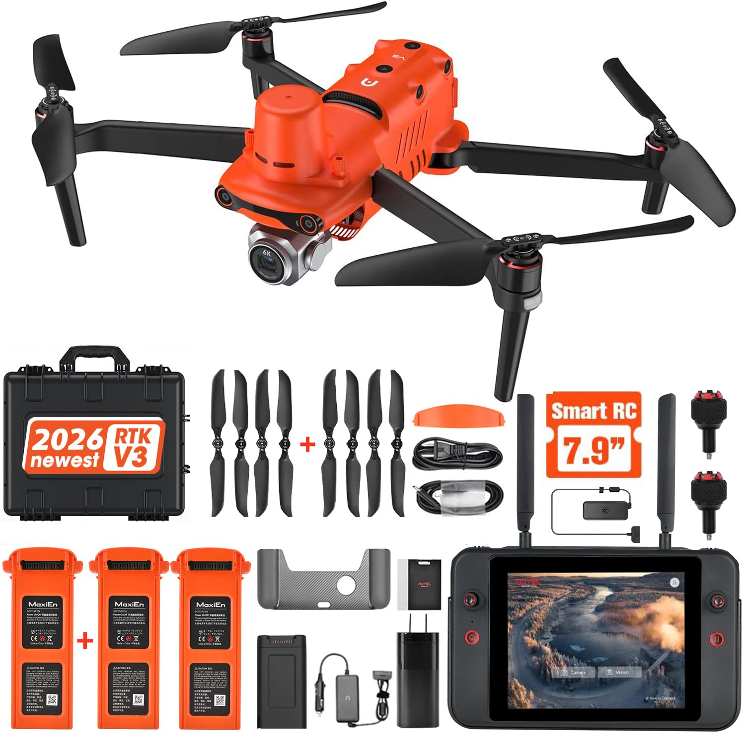
If you need consistent, survey-grade aerial data, this Autel delivers the positioning and image quality that make life easier. You can run rectangular or polygon missions, link to NTRIP RTK networks and capture 6K images that hold up in photogrammetry pipelines.
On routine site checks it speeds data capture, and for larger orthomosaic projects it reduces the time you spend on ground control. If precision is a priority, this is a practical tool you can build workflows around.
What People Say
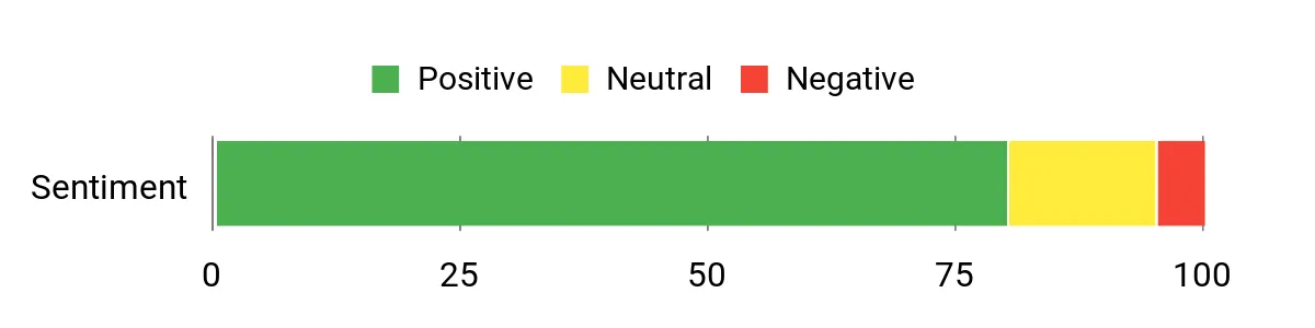
Customers frequently highlight the RTK accuracy and reliable transmission, noting that imagery and positioning are strong points for mapping workflows. People also appreciate the solid flight time and obstacle avoidance for automated missions, while a few mention a learning curve when setting up professional features.
Overall Sentiment: Positive
Situational Benefits
|
Situation |
How It Helps |
|---|---|
|
Large Topographic Surveys |
You can cover wide parcels without constant battery swaps thanks to long flight time and extended transmission, while RTK keeps your control points to a minimum. |
|
Construction Progress Monitoring |
You get repeatable, georeferenced captures that align across visits, so comparing volumes or progress becomes straightforward. |
|
High-Precision Photogrammetry |
The 6K sensor and RTK positioning produce dense, accurate point clouds that reduce post-processing cleanup. |
|
Infrastructure Inspection |
360° sensing and stable transmission let you fly closer to structures with safer automated flight paths and steady imagery. |
Ease Of Use
|
Feature |
Ease Level |
|---|---|
|
Flight Planning |
Moderate |
|
Controller Interface |
Moderate |
|
RTK Setup / NTRIP |
Moderate |
|
Automated Missions |
Easy |
Versatility
This drone adapts to mapping, inspection and surveying roles. You can run detailed photogrammetry missions, quick site checks or long-range transmission flights while integrating with common processing software and workflows.
Safety Features
Autel equips it with 360° obstacle avoidance, return-to-home and redundant sensors to reduce mission risk when you fly automated routes or tighter inspection lines.
Durability
Built for professional use, the airframe and components feel robust for field work and the battery capacity supports longer missions that cut down on turnaround time.
How It Solves Problems
The combination of RTK positioning and high-resolution imaging solves common mapping headaches by reducing ground control needs, improving absolute accuracy and producing imagery that stitches cleanly in photogrammetry software.
Key Benefits
- Centimeter-level RTK positioning for high accuracy
- 6K imaging that improves tie points and model detail
- Long flight times and 15 km transmission for large sites
- 360° obstacle sensing to protect automated missions
Rating: 4.5/5 (total: 19+)
Autel EVO Pro
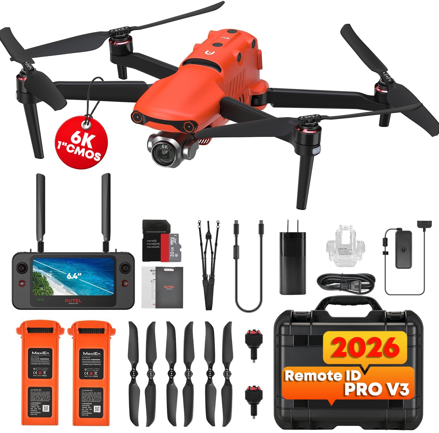
You get a camera-centric performer that’s built for demanding aerial imaging. The 1-inch sensor and 12-bit workflow give you cleaner captures and more latitude in post, while the Moonlight Algorithm helps when light is low.
It handles routine site flights as comfortably as detailed photogrammetry missions, and the large smart controller speeds mission setup and monitoring. If you want a balance of image fidelity, flight endurance and a tactile controller experience, this model is a solid choice to build repeatable workflows around.
What People Say
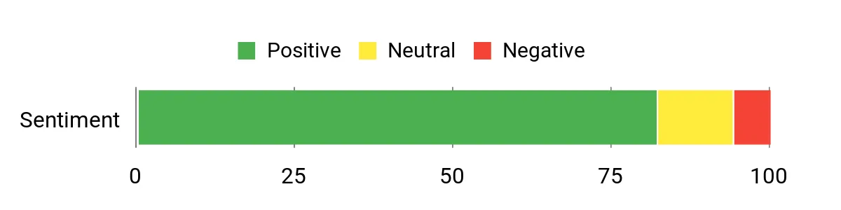
Users commonly praise the image quality and low-light performance, saying the sensor and 12-bit output make photogrammetry and visual inspection work more forgiving in post. The Smart Controller and steady transmission are appreciated for smoother mission control.
A smaller group mentions a learning curve when dialing in advanced settings or integrating into a mature survey workflow.
Overall Sentiment: Positive
Situational Benefits
|
Situation |
How It Helps |
|---|---|
|
Detailed Site Mapping |
You capture high-resolution frames that produce denser point clouds and cleaner orthomosaics, reducing the need for extra ground control. |
|
Low-Light Surveys |
Moonlight Algorithm and the larger sensor retain detail in dawn or dusk flights so your data is usable across more lighting conditions. |
|
Long Linear Projects |
Extended flight time and long-range transmission let you cover corridors and linear infrastructure with fewer battery swaps and stable telemetry. |
|
On-Site Inspections |
The touchscreen controller and responsive controls make it easier to position the camera for close-up visual checks without losing situational awareness. |
Ease Of Use
|
Feature |
Ease Level |
|---|---|
|
Flight Planning |
Moderate |
|
Controller Touchscreen |
Easy |
|
Camera Tuning |
Moderate |
|
Advanced Integrations |
Challenging |
Versatility
You can switch between mapping, inspections and creative capture without changing platforms. Its sensor and controller support both precise survey tasks and visual documentation, so you can adapt to mixed job requirements.
Safety Features
Includes 360° obstacle sensing, return-to-home logic and redundant telemetry options to keep automated missions and close-proximity inspections safer.
Durability
Designed for professional use, the build and components tolerate field operations and frequent deployments, helping you rely on consistent performance across job sites.
How It Solves Problems
By combining strong image data with reliable telemetry and a useful controller, it reduces post-processing headaches, lowers the need for repeat flights and speeds data collection for complex projects.
Key Benefits
- Large 1″ sensor and 12-bit capture for richer image data
- Moonlight Algorithm improves low-light mapping
- Long flight time and robust transmission for expansive missions
- Integrated 6.4″ Smart Controller simplifies planning and monitoring
Rating: 4.6/5 (total: 246+)
DJI Mini 4

You get a surprisingly capable mapper in a tiny package. The Mini 4 balances portability with useful imaging and flight endurance so you can grab quick site surveys, walkthrough inspections or scouting flights without hauling heavy gear. Its bright RC 2 screen and responsive controls make mission setup and monitoring straightforward, and the obstacle sensing boosts confidence on tighter lines.
If you value fast deployment and solid image quality for routine mapping tasks, this model makes those day-to-day jobs easier to manage.
What People Say
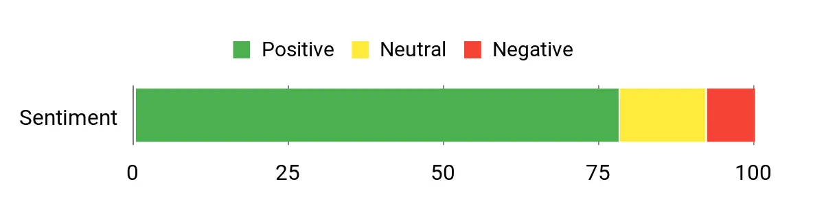
Users consistently praise the Mini 4 for its portability and image quality relative to its size, and many appreciate the bright RC 2 screen versus phone-based control. Reviewers also note the stable transmission and helpful obstacle sensing, while some mention that the many software features can be overwhelming at first.
Overall Sentiment: Positive
Situational Benefits
|
Situation |
How It Helps |
|---|---|
|
Rapid Site Checks |
You can deploy fast to capture georeferenced photos and inspect progress without bringing a full survey rig. |
|
Urban Corridor Surveys |
Lightweight design and obstacle sensing let you fly tighter corridors with greater ease and fewer logistical hassles. |
|
Travel and Remote Jobs |
Its compact form factor lets you carry it as carry-on gear so you can collect data on trips with minimal packing effort. |
|
Beginner Mapping |
Intuitive controls and safety features lower the skill barrier so you can focus on collecting useful imagery while you learn. |
Ease Of Use
|
Feature |
Ease Level |
|---|---|
|
Setup & Activation |
Moderate |
|
Flight Controls |
Easy |
|
Mission Planning |
Moderate |
|
Remote Screen Use |
Easy |
Versatility
This drone adapts well from quick visual inspections to lightweight mapping tasks; you can prioritize portability or swap to more thorough survey workflows depending on battery strategy and mission planning.
Safety Features
Omnidirectional vision sensing, automatic return-to-home and geofencing capabilities help protect automated flights and reduce risk when operating near obstacles.
Durability
Despite its small size it’s built for frequent field use; the airframe and gimbal feel solid enough for routine deployments, though it’s not intended as a heavy-industrial platform.
How It Solves Problems
Its combination of ease of deployment, stable transmission and reliable imaging addresses the common pain point of getting fast, usable aerial data without the overhead of larger systems.
Key Benefits
- Very portable, fits into tight field workflows
- 4K imagery with good still resolution for quick mapping
- Long-ish flight time for a sub-250 g drone
- Clear onboard screen improves situational awareness
Rating: 4.4/5 (total: 923+)
DJI Flip
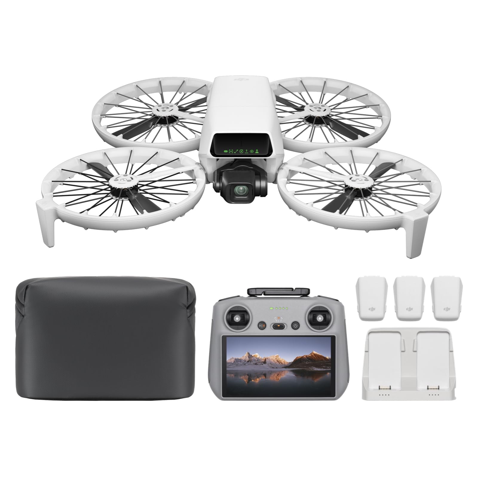
You get a very portable platform that’s geared toward quick inspections, creative shoots and everyday mapping tasks. The Fly More Combo with RC 2 gives you extra battery flexibility and a bright controller screen so you can plan and monitor missions on the go.
It’s intuitive enough for new pilots but offers enough intelligent modes and stable transmission to be useful on repeated site checks and property monitoring.
What People Say
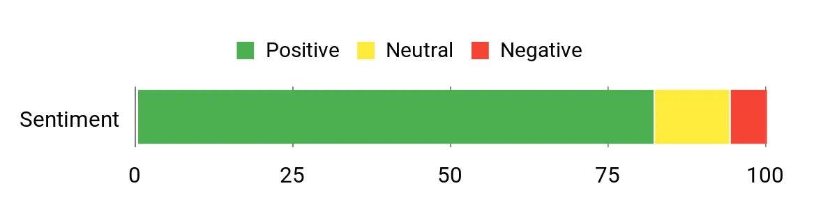
Customers often praise how easy the Flip is to fly and how many intelligent modes it packs into a compact frame. Many highlight the RC 2 screen and extra batteries as real practical upgrades for fieldwork, while a minority mention sensitivity to strong wind and recommend being cautious in gusty conditions.
Overall Sentiment: Positive
Situational Benefits
|
Situation |
How It Helps |
|---|---|
|
Quick Site Walkthroughs |
You can launch fast and capture consistent aerial photos to document progress or conditions without assembling bigger rigs. |
|
Property Monitoring |
The subject tracking and stable transmission let you inspect boundaries and assets with fewer passes and reliable footage. |
|
Training New Pilots |
Intuitive controls and safety features shorten the learning curve so you can get useful data sooner while building confidence. |
|
Travel-Friendly Jobs |
Foldable propeller guards and compact packaging make it easy to carry as part of a light survey kit for remote or multi-site work. |
Ease Of Use
|
Feature |
Ease Level |
|---|---|
|
Setup & Activation |
Moderate |
|
Flight Controls |
Easy |
|
Mission Modes |
Easy |
|
Battery Swapping |
Moderate |
Versatility
This model adapts well from casual mapping and inspections to creative aerial captures; the combo’s extra batteries and intelligent modes let you switch between short surveys and longer site visits without changing platforms.
Safety Features
Built-in propeller guards, obstacle sensing and auto return help reduce risk during tight flights and automated missions, making close-proximity inspections safer.
Durability
Designed for everyday use, the Flip’s frame and guarded propellers withstand routine deployments and travel, though it’s not intended as an industrial-grade heavy-duty unit.
How It Solves Problems
By combining easy deployment, intelligent flight modes and a bright controller, it solves the common problem of getting reliable, repeatable imagery quickly without a steep setup overhead.
Key Benefits
- Portable foldable design for fast deployment
- RC 2 bright screen improves situational awareness
- Multiple intelligent flight modes for consistent captures
- Extra batteries in the combo extend continuous coverage
Rating: 4.5/5 (total: 917+)
Ruko U11Mini
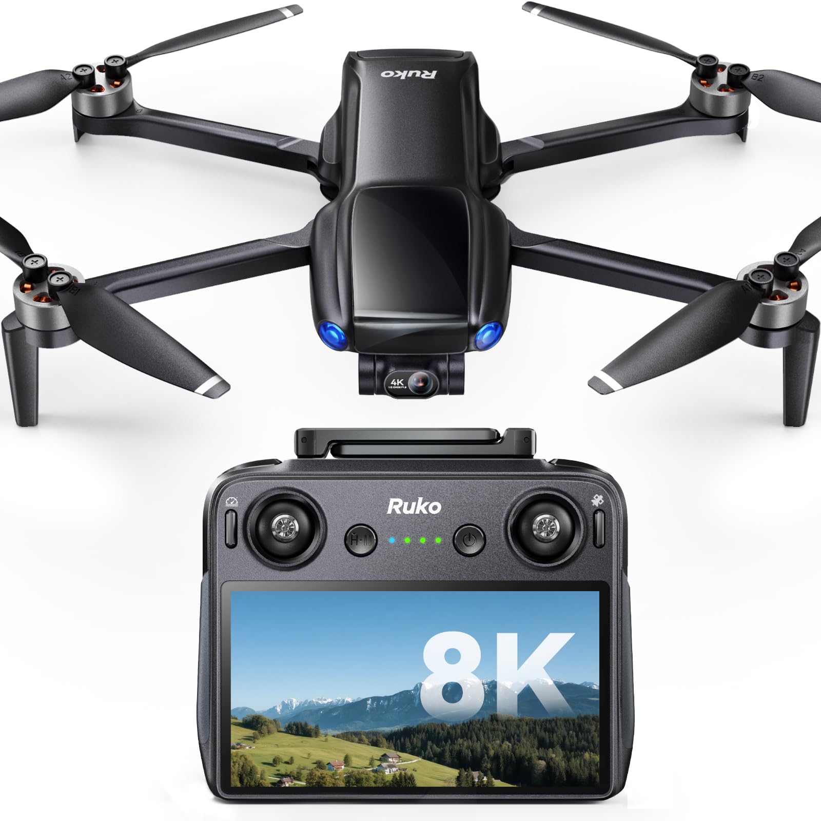
You get a compact mapper that’s designed to slip into a practical field workflow. The touchscreen controller keeps mission setup quick, the long flight time reduces interruptions and the 3-axis gimbal stabilizes images for cleaner stitching. Use it for rapid site checks, travel-friendly surveys or learning photogrammetry basics without lugging larger rigs. It’s a good fit when portability and straightforward data capture matter.
What People Say
Reviewers often call out the controller screen and long flight time as real field advantages, noting they can get more coverage per sortie and skip fiddling with a phone. Many appreciate the portability and ease of use for quick inspections, while a smaller number point out that extreme range figures can be optimistic in obstructed environments.
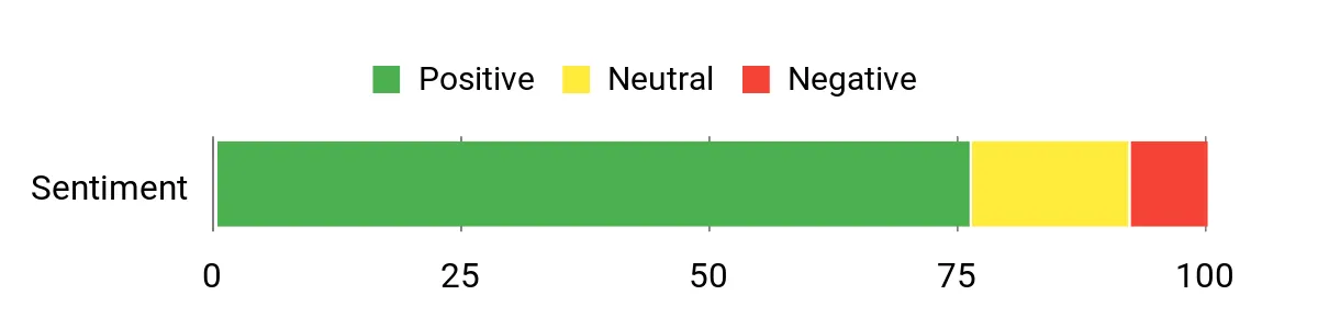
Overall Sentiment: Positive
Situational Benefits
|
Situation |
How It Helps |
|---|---|
|
Quick Site Checks |
You can launch quickly with minimal setup and capture georeferenced images to document progress or issues during routine visits. |
|
Travel or Remote Jobs |
Its compact size and touchscreen control make it easy to carry as hand luggage and deploy when you arrive on site. |
|
Beginner Mapping |
Intuitive controls and safety assists let you focus on collecting usable imagery while you learn mission planning basics. |
|
Extended Patrols |
Longer flight time means fewer battery swaps when you’re covering larger properties or doing repeated passes. |
Ease Of Use
|
Feature |
Ease Level |
|---|---|
|
Initial Setup |
Moderate |
|
Touchscreen Controller |
Easy |
|
Mission Planning |
Moderate |
|
Flight Handling |
Easy |
Versatility
This drone handles short mapping missions, visual inspections and travel-friendly data capture. It’s especially useful when you need a balance of portability and decent image quality rather than industrial-grade surveying.
Safety Features
Includes GPS auto return and AI-assisted takeoff and landing to reduce risk during automated flights, and transmission features that aim to keep telemetry stable across missions.
Durability
Built with field use in mind, the compact frame withstands regular deployments and travel, though it’s not positioned as a heavy-industrial platform.
How It Solves Problems
By combining long endurance with a dedicated touchscreen controller, it solves the common friction of slow setup and frequent battery swaps, letting you collect consistent imagery faster and with fewer interruptions.
Key Benefits
- Compact, under-249 g design for easy transport and lighter regulatory burden
- Extended flight time that cuts down mission interruptions
- Built-in 5.5″ touchscreen controller for faster setup and monitoring
- 3-axis gimbal and 4K capture for steady images suitable for simple mapping
Rating: 4.4/5 (total: 2696+)
Bwine F7GIM
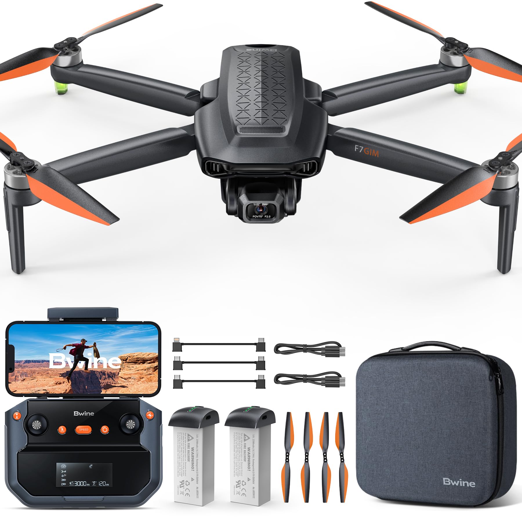
You get a feature-packed platform that aims to bridge beginner-friendly controls and longer-range capabilities. The 5x zoom and 3-axis gimbal let you capture inspection-grade frames without closing distance, while digital transmission gives a more stable link than phone Wi‑Fi in many conditions. For routine site checks, perimeter patrols or quick photogrammetry passes, it lets you cover more area per sortie and gather usable imagery without swapping to a larger system.
What People Say
Customers often highlight the zoom and gimbal as real advantages for inspection work, saying the footage is steady and easier to analyze. Many praise the extended flight claims and stable link, while some note actual range and endurance depend on conditions and that getting the most from advanced features takes practice.
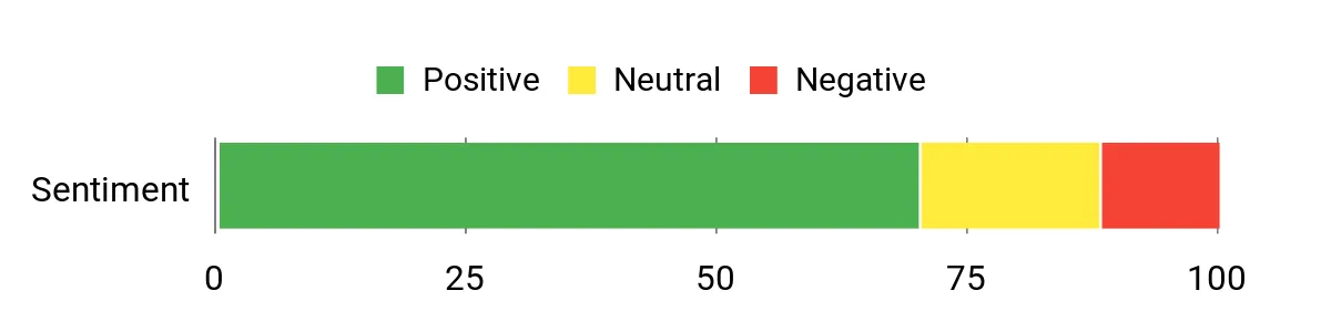
Overall Sentiment: Positive
Situational Benefits
|
Situation |
How It Helps |
|---|---|
|
Infrastructure Inspection |
You can zoom in on assets and capture stable detail without flying dangerously close, which speeds inspections and reduces risk. |
|
Perimeter Patrols |
Long flight capability and steady transmission let you sweep larger properties with fewer battery swaps and fewer interruptions. |
|
Beginner Mapping |
Intuitive flight modes and GPS assists let you collect consistent imagery while you learn mission planning basics. |
|
Travel Deployments |
Compact packing and an emphasis on range make it easier to bring meaningful capture capability to remote sites. |
Ease Of Use
|
Feature |
Ease Level |
|---|---|
|
Initial Setup |
Moderate |
|
Flight Controls |
Easy |
|
Mission Planning |
Moderate |
|
Zoom Operation |
Moderate |
Versatility
This model covers a lot of ground: visual inspections, basic mapping runs and patrol-style surveys. The zoom and gimbal make it useful for both documentation and observational tasks where you don’t want to change platforms.
Safety Features
GPS smart fly, auto return and assisted takeoff/landing reduce mission risk, and built-in flight modes help keep flights predictable in mixed environments.
Durability
Built for regular field use with a portable form factor, it handles routine deployments well though it’s not positioned as a heavy-industrial aircraft.
Problem Solving
The combination of zoom, stable gimbal and longer endurance addresses common mapping pain points by letting you capture finer detail from safer stand-off distances and cover more area per sortie.
Key Benefits
- 5x optical-style zoom for closer visual inspection without approach
- 3-axis gimbal keeps frames steady for cleaner stitching
- Digital transmission reduces dependency on phone Wi‑Fi
- Long claimed endurance reduces mission interruptions
Rating: 4.3/5 (total: 794+)
Potensic ATOM 2

You get an approachable mini-mapper that blends useful capture features with straightforward operation. The ATOM 2’s 1/2″ Sony sensor and HDR mode deliver sharp, clean frames that work well for quick photogrammetry passes, while the three-battery combo keeps you flying longer between swaps.
AI tracking and built-in shooting modes speed common tasks like inspections or progress checks, and the lightweight design makes it easy to take on multi-site days. It’s a practical choice when you want capable imagery and simple workflows without a lot of extra complexity.
What People Say
Reviewers often call out the unexpectedly strong image quality and the ease of getting stable footage straight out of the box. Many users appreciate the included batteries and controller features that make longer sessions practical, and comments frequently note how intuitive the flight controls and AI-assisted modes feel for newcomers.
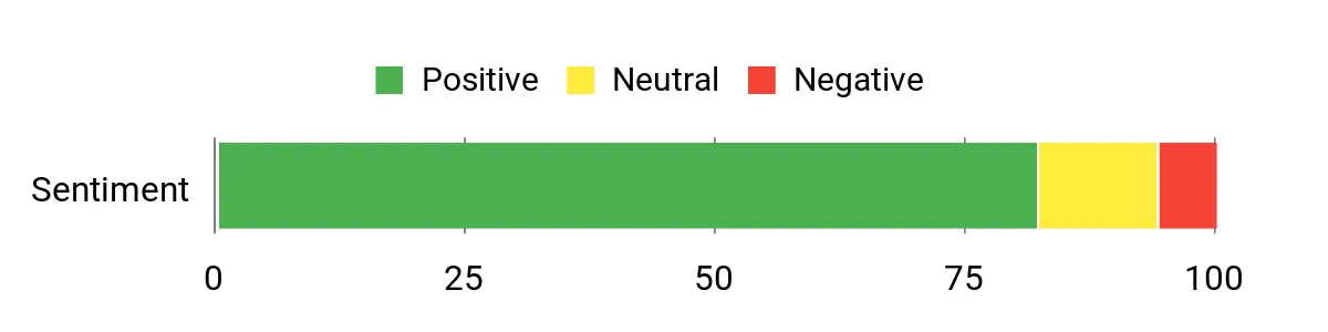
Overall Sentiment: Positive
Situational Benefits
|
Situation |
How It Helps |
|---|---|
|
Quick Site Surveys |
You can deploy fast and capture consistent photos for progress documentation without heavy setup or lengthy calibration. |
|
Remote Inspections |
AI tracking and stable HDR footage let you inspect details from a safe distance while keeping useful visual records. |
|
Travel Deployments |
Lightweight design and the Fly More pack make it easy to carry as part of a compact survey kit for multiple locations. |
|
Learning Photogrammetry |
User-friendly modes and steady capture reduce early mistakes so you can focus on learning mission planning and processing. |
Ease Of Use
|
Feature |
Ease Level |
|---|---|
|
Initial Setup |
Easy |
|
Flight Controls |
Easy |
|
Mission Planning |
Moderate |
|
Battery Management |
Moderate |
Versatility
This drone works well for quick mapping runs, visual inspections and travel-friendly data capture, letting you switch between documentation and light photogrammetry tasks without changing platforms.
Safety Features
Includes GPS-assisted flight, auto return and intelligent tracking that help keep automated missions predictable and reduce the chance of lost aircraft during routine operations.
Durability
Built to handle regular field use with a compact frame and protective components, it stands up to frequent deployments though it isn’t designed as an industrial-grade heavy-duty unit.
How It Solves Problems
By combining reliable imagery, extended flight time and user-friendly modes, it addresses common pain points like short sorties, unstable footage and slow setup so you collect usable data more efficiently.
Key Benefits
- Good image quality from a 1/2″ Sony CMOS and HDR capture
- Three-battery combo extends continuous mission time
- AI tracking and shooting modes simplify inspections
- Lightweight, travel-friendly form factor for multi-site work
Rating: 4.5/5 (total: 1954+)
Ruko F11Pro

You get a solid all-rounder that balances approachable controls with features that matter for mapping and inspections. The dual-battery setup extends mission time so you can collect more coverage per visit, while the 3-axis gimbal keeps frames steady for stitching.
Built-in GPS modes and waypoint tools make repeatable missions straightforward, and its stability in calm conditions makes it a reliable tool for routine site checks or longer patrols. If you want a dependable field platform that scales from beginner tasks to more advanced mapped runs, this model fits that niche.
What People Say
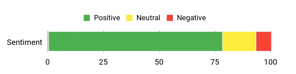
Reviewers commonly praise the long flight capability and stable gimbal, saying those features make mapping runs and inspections simpler. Many highlight the ease of use for newcomers and the helpful GPS-assisted modes for consistent passes.
A minority note that performance in strong wind can be limiting and recommend planning flights accordingly.
Overall Sentiment: Positive
Situational Benefits
|
Situation |
How It Helps |
|---|---|
|
Routine Site Surveys |
Extended flight time and steady imagery let you complete orthomosaic passes with fewer interruptions and more consistent overlap. |
|
Perimeter Patrols |
Longer endurance and stable transmission let you sweep larger properties without constant battery management. |
|
Training New Operators |
One-touch takeoff/landing and GPS assists reduce the learning curve so you can focus on mission planning and data quality. |
|
Close-Range Inspections |
The gimbal keeps footage steady during tight passes, which helps capture actionable detail without risky proximity flying. |
Ease Of Use
|
Feature |
Ease Level |
|---|---|
|
Initial Setup |
Moderate |
|
Flight Controls |
Easy |
|
Waypoint Missions |
Moderate |
|
Battery Swapping |
Easy |
Versatility
This drone handles everything from quick visual inspections and training flights to structured mapping runs using waypoints and orbit patterns, so you can adapt it across job types without switching platforms.
Safety Features
Includes GPS auto-return, assisted landing and flight modes that help keep flights predictable, plus guarded operation recommendations for tighter environments.
Durability
Designed for frequent field use, the frame and components tolerate routine deployments and travel, though very harsh industrial conditions would favor a heavier-duty platform.
How It Solves Problems
By pairing extended endurance with stable imaging and repeatable flight modes, it cuts down on re-flights and simplifies data collection workflows so you spend less time troubleshooting at the office.
Key Benefits
- Two batteries provide longer continuous coverage and fewer swaps
- 3-axis gimbal stabilizes imagery for cleaner photogrammetry inputs
- Beginner-friendly flight assists with advanced waypoint and orbit modes
- Digital transmission offers more consistent telemetry than phone-based links
Rating: 4.4/5 (total: 9118+)
DJI Mini 3

You get a highly portable mapper that fits into everyday field workflows. The Mini 3 is easy to carry, deploys quickly and produces 4K HDR frames that are useful for quick orthomosaics, inspections and site documentation.
Its long flight time and stable gimbal make repeating passes less painful, and the foldable form factor means you can bring it to multiple sites without extra baggage. If you want something that balances image quality, endurance and convenience for routine mapping tasks, this is a sensible choice.
What People Say
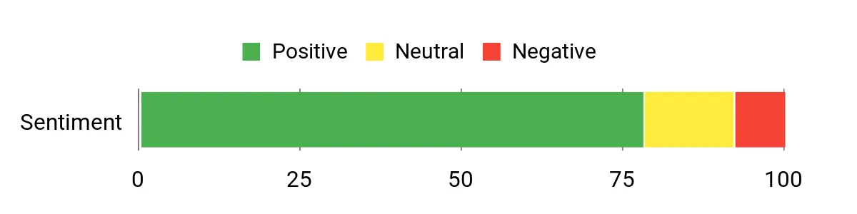
People frequently praise how easy the Mini 3 is to carry and launch, and they often mention the surprisingly good image quality for a compact drone. Reviewers also value the stable transmission and longer flight times for quick surveys, while some note that wind performance and firmware updates can affect the experience.
Overall Sentiment: Positive
Situational Benefits
|
Situation |
How It Helps |
|---|---|
|
Quick Site Checks |
You can run a fast aerial sweep and capture usable imagery without hauling a larger rig, so routine visits become simpler. |
|
Travel Deployments |
Its compact size and light weight make it easy to carry as part of hand luggage, so you can collect data across multiple locations in a day. |
|
Beginner Mapping |
Intuitive controls and assisted flight modes let you focus on capturing consistent overlap while you learn mission planning basics. |
|
Tight Urban Corridors |
Foldable design and stable gimbal let you navigate tighter environments and still get steady shots for photogrammetry. |
Ease Of Use
|
Feature |
Ease Level |
|---|---|
|
Setup & Activation |
Moderate |
|
Flight Controls |
Easy |
|
Mission Planning |
Moderate |
|
Gimbal Operation |
Easy |
Versatility
This model switches between quick visual inspections, travel-friendly mapping runs and casual content capture, making it useful for mixed-field tasks where you need usable imagery without heavy setup.
Safety Features
Offers GPS Auto Return, assisted landing and improved wind resistance to keep automated flights predictable and reduce chances of lost aircraft during routine operations.
Durability
Lightweight but well-built for regular field use; it handles routine deployments and travel well, though it’s not designed for heavy industrial abuse.
How It Solves Problems
By pairing portable design with steady 4K capture and solid flight time, it reduces the friction of getting timely aerial data and cuts down on repeat flights for many small-to-medium projects.
Key Benefits
- Portable, foldable design for fast deployment
- 4K HDR capture with a 3-axis mechanical gimbal for steady frames
- Long flight time that reduces interruptions during site passes
- Reliable GPS features and one-button return for safer flights
Rating: 4.4/5 (total: 2614+)
Bwine F7GB2

You’ll find this drone useful when you need a dependable field platform that balances image quality and endurance. The 3-axis gimbal steadies frames for cleaner stitching, and extended battery capacity means fewer interruptions on mapping passes.
App-based controls and waypoint tools let you set repeatable missions, so you can run routine surveys, perimeter sweeps or inspection flights without swapping platforms. It’s a practical pick when you want capable capture and straightforward workflows for everyday photogrammetry tasks.
What People Say
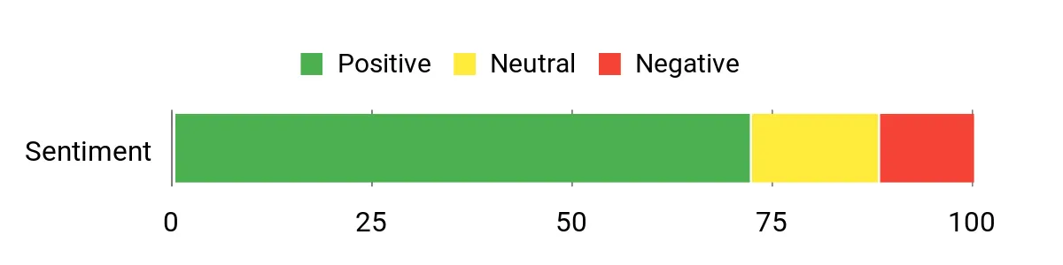
Users frequently highlight the stable gimbal and the longer flight capability as real advantages for mapping and inspections, saying these features reduce re-flights. Many appreciate the waypoint tools and app control for repeatable passes, while some mention that performance can vary in strong wind and that learning advanced mission settings takes a little time.
Overall Sentiment: Positive
Situational Benefits
|
Situation |
How It Helps |
|---|---|
|
Routine Site Surveys |
You can complete orthomosaic passes with fewer stops thanks to longer endurance and stable imagery, which improves overlap and reduces post-processing fixes. |
|
Perimeter Patrols |
Extended battery capacity and consistent transmission let you sweep larger properties with fewer interruptions and reliable telemetry. |
|
Training New Operators |
One-key takeoff and GPS-assisted flight modes shorten the learning curve so you can focus on capture quality and mission planning. |
|
Close-Range Inspections |
The gimbal keeps footage steady during tight passes, letting you capture actionable detail without risky proximity flying. |
Ease Of Use
|
Feature |
Ease Level |
|---|---|
|
Initial Setup |
Moderate |
|
Flight Controls |
Easy |
|
Waypoint Missions |
Moderate |
|
Battery Swapping |
Easy |
Versatility
This drone handles quick mapping runs, inspections and patrol-style surveys; its control options and flight modes let you move between documentation and light photogrammetry tasks without changing platforms.
Safety Features
Includes GPS-assisted flight, auto return and predictable waypoint behaviors that help reduce the risk of lost aircraft during routine missions.
Durability
Built for regular field deployments, the frame and components tolerate routine use and travel, though it’s not positioned as a heavy-industrial aircraft.
How It Solves Problems
By combining steady imaging, repeatable flight modes and longer endurance, it minimizes the need for repeat sorties and speeds data collection so you spend less time troubleshooting in post.
Key Benefits
- 3-axis gimbal for steady imagery that helps stitching
- Extended flight time with multiple batteries for longer coverage
- Waypoint and orbit modes for repeatable, automated missions
- App control simplifies mission setup and quick adjustments
Rating: 4.3/5 (total: 794+)
FAQ
How Accurate Are Mapping Drones?
Accuracy depends on several factors: the drone’s positioning system, sensor quality and your flight plan. If you use RTK/PPK positioning you can achieve centimeter-level absolute accuracy; without RTK/PPK you rely on GPS plus ground control points to reach survey-grade results. Altitude (which determines GSD), image overlap and lens calibration also affect the final model, so plan for consistent altitude and high overlap when precision matters.
Which Features Matter Most For Photogrammetry?
Prioritize sensor size and dynamic range first, because a larger sensor and 12‑bit or higher capture give you cleaner images and better tie points. Next, look for reliable positioning (RTK/PPK), a stable gimbal and consistent lens performance.
Flight endurance, transmission reliability and an intuitive controller or onboard screen make missions faster and safer, and compatibility with your photogrammetry software ensures smooth processing.
How Do I Prepare For A Successful Mapping Flight?
Prepare the same way you would for a field survey: update firmware, charge and balance batteries, and verify compass/IMU calibrations before you launch. Choose an altitude that matches your target GSD, set sufficient front and side overlap, check wind and lighting conditions, and confirm permissions or airspace rules at the site.
Bring spare batteries, extra storage and run a short test grid to validate settings before committing to the full mission.
Customer Preferences
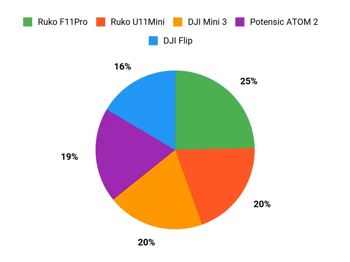
When choosing between these models you typically balance precision, image fidelity and portability: you pick the Autel EVO RTK when centimeter-level positioning and survey-grade accuracy matter, the Autel EVO Pro when sensor size and 12‑bit image quality are the priority for dense point clouds and low-light captures, and the DJI Mini 4 when rapid deployment, minimal regulatory friction and travel-friendly portability are most important. Consider flight time, transmission reliability and how the drone fits into your processing workflow to decide which trade-offs suit your projects.
Wrapping Up
If you require survey-grade outputs and automated mission control, prioritize the Autel EVO RTK for its centimeter-level positioning. If your work centers on high-fidelity imagery for dense point clouds, the Autel EVO Pro delivers the larger sensor and 12-bit capture that improve photogrammetric results. When portability and quick deployment matter, a DJI Mini model gives you a practical balance of image quality and ease of use. For lower budgets or field testing, look to midrange and beginner options that offer long flight times and touchscreen controllers to speed mission setup.
Match your choice to the scale of your projects, confirm compatibility with your processing software, and always verify local flight regulations before collecting data.
| Product Name | Image | Rating | Video Resolution | Battery Life | Maximum Range |
|---|---|---|---|---|---|
| Autel Robotics EVO II PRO RTK V3 |
|
4.5/5 (N reviews) | 6K | 38 minutes | 15 km |
| Autel Robotics EVO 2 PRO V3 |
|
4.6/5 (N reviews) | 6K HD | 40 minutes | 15 km |
| DJI Mini 4 Pro (DJI RC 2) |
|
4.4/5 (N reviews) | 4K | 34 minutes | 20 km |
| DJI Flip Fly More Combo |
|
4.5/5 (N reviews) | 4K | 93 minutes (with 3 batteries) | 13 km |
| Ruko U11MINI 4K (RC3) |
|
4.4/5 (N reviews) | 4K | 64 minutes | 20,000 ft |
| Bwine F7GIM |
|
4.3/5 (N reviews) | 4K@30fps | 70 minutes | 3 km |
| Potensic ATOM 2 |
|
4.5/5 (N reviews) | 4K | 5200 milliamp_hours | 10 km |
| Ruko F11PRO 2 |
|
4.4/5 (N reviews) | 4K@30fps | 70 minutes | 10,000 ft |
| DJI Mini 3 |
|
4.4/5 (N reviews) | 4K | 38 minutes | 10 km |
| Bwine F7GB2 Pro |
|
4.3/5 (N reviews) | 4K | 75 minutes | 10 km |
This Roundup is reader-supported. When you click through links we may earn a referral commission on qualifying purchases.