How to Fly a DJI Drone to Map a Small Orthomosaic Area
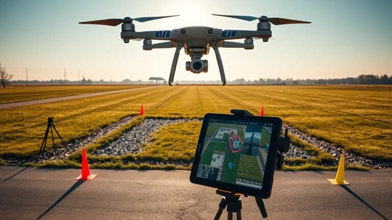
Create a small ortho photo with your DJI drone using a tight grid, but one overlooked setting can make or break the final result.
Create a small ortho photo with your DJI drone using a tight grid, but one overlooked setting can make or break the final result.
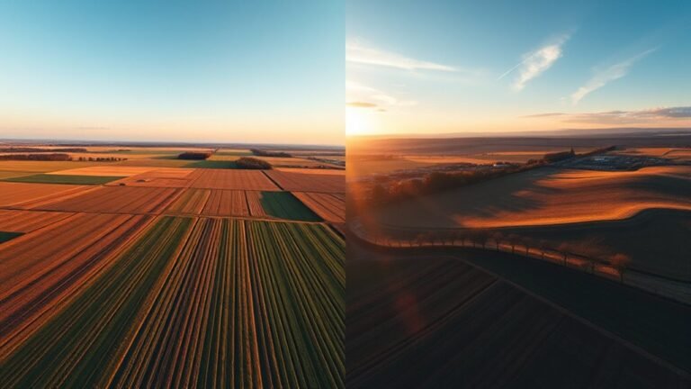
Both drone views reveal different truths, but only one combined workflow shows what your map or model is still missing.
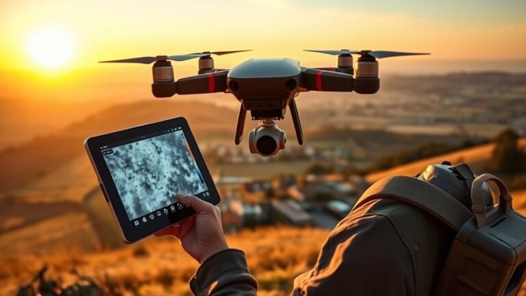
Flying thermal drones demands more than images—discover the cameras, rules, and radiometric data that turn heat spots into reliable maps.

Immerse yourself in the world of GPS and mapping for fishing, where every trip could become a successful adventure waiting to unfold.
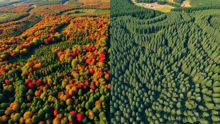
Knowing when to use drone LiDAR or photogrammetry can transform your project, but which one truly suits your needs? Discover the key differences!