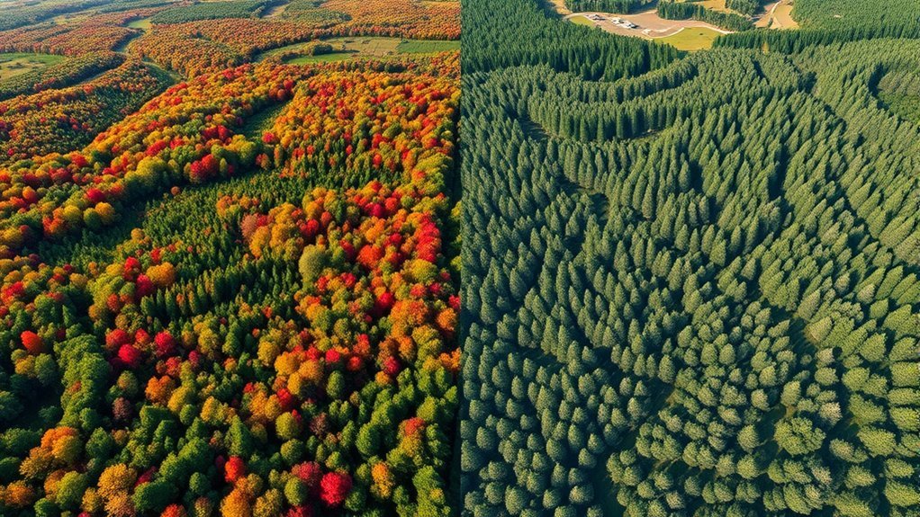
Choosing between drone LiDAR and photogrammetry depends on what you need to map, how much accuracy you require, and what conditions your drone will face. Both methods can create useful 3D mapping data, but they do it in very different ways. LiDAR works best when you need reliable elevation data through vegetation or in low-light conditions. Photogrammetry works best when you need affordable, detailed visual models in open areas with good lighting.
Quick Answer
Use drone LiDAR when your project needs precise elevation data, bare-earth terrain models, or mapping through trees and brush. Use photogrammetry when you need a lower-cost option for open sites, visual 3D models, orthomosaics, and surface details captured in good daylight.
Key Takeaways
- LiDAR uses laser pulses, so it can measure terrain even through gaps in vegetation.
- Photogrammetry uses overlapping photos, so it produces rich color detail and textured 3D models.
- LiDAR usually costs more because the sensors, setup, and processing skills are more specialized.
- Photogrammetry is often easier to start with, but it depends heavily on lighting, overlap, and surface contrast.
- The best choice comes from your project goal: terrain accuracy favors LiDAR, while visual site documentation often favors photogrammetry.
What Is LiDAR?
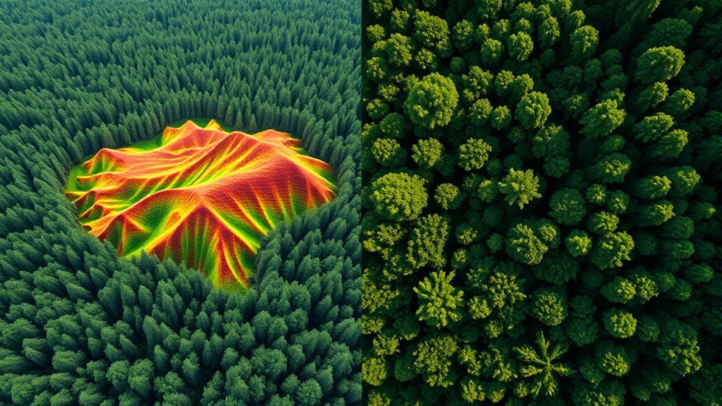
LiDAR, short for Light Detection and Ranging, is a remote sensing method that uses laser pulses to measure distance. A drone LiDAR system sends out rapid laser pulses, records how long they take to return, and turns those measurements into a dense point cloud.
That point cloud can show elevation, slope, surface shape, vegetation height, buildings, utility features, and other terrain details. Because LiDAR is an active sensor, it creates its own light source instead of relying only on sunlight.
One of LiDAR’s biggest strengths is its ability to collect useful ground data in areas with trees, brush, or uneven terrain. Laser pulses can pass through small gaps in the canopy and return multiple measurements from vegetation and the ground below. This makes LiDAR valuable for forestry, flood modeling, corridor mapping, mining, and topographic surveys.
LiDAR can also perform well in low-light conditions because it does not depend on visible daylight the same way camera-based mapping does. You still need safe flight conditions, proper sensor calibration, and accurate positioning, but nighttime or low-sun surveys are more practical with LiDAR than with standard photogrammetry.
What Is Photogrammetry?
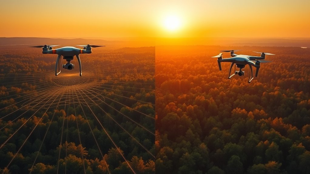
Photogrammetry is a mapping method that creates measurements from overlapping photographs. A drone captures many images from different angles, and processing software matches common points across those photos to build maps and 3D models.
This method can produce several useful outputs, including:
- Orthomosaic maps that show a corrected overhead view of the site
- Digital surface models that capture visible surface elevation
- Textured 3D models that show buildings, stockpiles, roads, and site conditions in color
- Point clouds that can support measurements and visual analysis
Photogrammetry works best in open areas with strong image texture, steady lighting, and enough photo overlap. It can be very accurate when you use good flight planning, ground control points, or RTK/PPK positioning.
However, photogrammetry has limits. It usually struggles with dense vegetation, shiny surfaces, water, shadows, low-contrast ground, and poor lighting. Since it measures what the camera can see, it usually captures the top visible surface rather than the bare ground beneath trees or brush.
Key Differences Between LiDAR and Photogrammetry

When you compare LiDAR and photogrammetry, the biggest difference is how each method collects data. LiDAR measures distance with laser pulses. Photogrammetry calculates shape and position from overlapping images.
LiDAR is strongest for elevation and terrain measurement, while photogrammetry is strongest for visual detail and color-rich site models.
LiDAR is often better for complex terrain, tree cover, utility corridors, and bare-earth modeling. Photogrammetry is often better for construction progress, roof inspections, stockpile visuals, land development, and any project where realistic imagery matters.
Accuracy also depends on more than the sensor. Drone quality, flight height, overlap, ground control, GNSS setup, calibration, software settings, weather, and operator skill all affect final results. In ideal conditions, both methods can support high-accuracy mapping. In difficult conditions, LiDAR usually stays more reliable for elevation and ground detection.
Note: Do not judge LiDAR or photogrammetry by sensor specs alone. A well-planned photogrammetry mission can beat a poorly calibrated LiDAR mission, and a properly flown LiDAR mission can solve problems photos cannot handle.
Drone LiDAR vs Photogrammetry Comparison
| Factor | Drone LiDAR | Photogrammetry |
| Data capture method | Active laser measurement | Overlapping camera images |
| Best environment | Vegetation, uneven terrain, corridors, low-light work | Open, well-lit areas with visible surface texture |
| Main output | Point clouds, terrain models, elevation data | Orthomosaics, textured 3D models, surface models |
| Vegetation performance | Strong, especially when ground returns are captured | Limited because the camera mostly sees the canopy |
| Visual detail | Lower unless paired with imagery | Excellent color and texture detail |
| Typical cost | Higher equipment and processing cost | Lower entry cost for many projects |
| Learning curve | Higher due to calibration, classification, and point-cloud processing | Lower, though accurate work still needs careful planning |
When to Use LiDAR
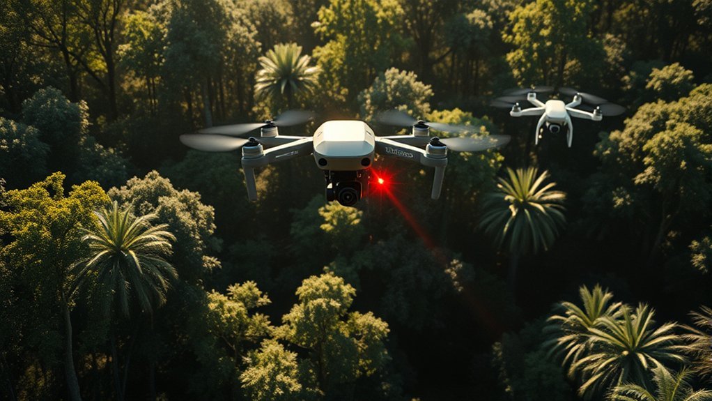
Use drone LiDAR when precision, elevation detail, and ground detection matter more than low cost or visual texture. It is especially useful when your project area includes trees, brush, power lines, steep slopes, or other hard-to-capture features.
LiDAR is a strong choice for:
- Mapping complex terrain with dense vegetation
- Creating bare-earth digital terrain models
- Surveying roads, railways, pipelines, and utility corridors
- Measuring slopes, drainage paths, and flood-prone areas
- Capturing thin or complex features such as wires, poles, and edges
- Working in low-light conditions where camera imagery may suffer
LiDAR also helps when you need consistent elevation data across a site with mixed surfaces. For example, a forested floodplain, steep mining road, or utility corridor may include canopy cover, shadows, grass, bare soil, and structures in the same flight area.
Warning: LiDAR can improve ground detection under vegetation, but it does not magically see through every canopy. Very dense cover, poor flight planning, bad calibration, or weak GNSS data can still reduce accuracy.
If your deliverable depends on accurate elevation, LiDAR usually gives you a safer path. It can also reduce the need for repeat flights when lighting changes, shadows, or surface texture would make photogrammetry unreliable.
When to Use Photogrammetry

Use photogrammetry when you need affordable mapping, strong visual detail, and realistic 3D models of visible surfaces. It is often the better choice for cleared sites, buildings, roofs, roads, farms, construction areas, and open land.
Photogrammetry is a strong choice for:
- Construction progress documentation
- Orthomosaic maps for site planning
- Stockpile measurement in open areas
- Roof, facade, and structure inspection
- Agricultural scouting and field mapping
- Marketing visuals, 3D site models, and public-facing project images
This method can be very cost-effective because many drones already carry capable cameras. You still need proper overlap, sharp images, stable lighting, and accurate positioning. For survey-grade work, ground control points or RTK/PPK workflows can improve confidence in the final model.
Photogrammetry performs best when the surface has enough texture for software to match points between photos. Gravel, pavement markings, soil patterns, rooftops, and building edges usually work well. Water, glass, smooth concrete, snow, crops, and shadow-heavy areas can create problems.
Pro Tip: For photogrammetry, plan your flight with strong image overlap and consistent exposure. Blurry photos, harsh shadows, and weak overlap can cause gaps, warped models, or unreliable measurements.
Accuracy and Data Quality
Both LiDAR and photogrammetry can produce accurate results, but they reach that accuracy in different ways. LiDAR accuracy depends on the sensor, GNSS/IMU quality, calibration, flight height, scan angle, point density, and processing workflow. Photogrammetry accuracy depends on camera quality, image sharpness, overlap, ground control, lighting, flight height, and software processing.
For LiDAR, vertical accuracy is often one of the biggest advantages. The system directly measures distance to surfaces, so it can create strong elevation models when the mission is planned correctly. For photogrammetry, horizontal detail and visual interpretation can be excellent, especially in open areas with well-distributed control points.
Data quality also depends on the final deliverable. A beautiful photogrammetry model may look impressive but still struggle to show bare ground under vegetation. A LiDAR point cloud may be highly useful for engineering work but less visually appealing unless colorized or combined with imagery.
Cost and Equipment
Drone LiDAR usually costs more than photogrammetry because the payload is more specialized. A LiDAR setup may include the laser scanner, GNSS receiver, inertial measurement unit, mounting hardware, calibration process, and advanced processing software. You may also need a trained operator who understands point-cloud classification and accuracy checks.
Photogrammetry usually has a lower entry cost because it can start with a drone camera and mapping software. This makes it popular for construction teams, real estate projects, small surveying jobs, agriculture, and general site documentation.
That said, cheaper does not always mean better value. If photogrammetry fails because of trees, shadows, or weak surface texture, you may spend more money on repeat flights and cleanup. If LiDAR provides the right data in one mission, its higher upfront cost can still make sense.
Processing Time and Workflow
LiDAR and photogrammetry also differ after the flight. LiDAR processing usually focuses on trajectory processing, point-cloud cleaning, classification, quality checks, and surface generation. Photogrammetry processing usually includes photo alignment, dense cloud generation, mesh creation, orthomosaic creation, and model cleanup.
Photogrammetry can require many hundreds or thousands of images. That can make processing slow, especially on large projects or high-resolution datasets. LiDAR files can also be large, but they may move faster through some elevation-focused workflows once the trajectory and calibration are correct.
Your workflow should match the deliverable. If you need an orthomosaic and realistic visual record, photogrammetry gives you a direct path. If you need classified ground points and elevation products, LiDAR gives you a stronger starting point.
Can You Use LiDAR and Photogrammetry Together?
Yes, you can use LiDAR and photogrammetry together. In many professional mapping projects, the best result comes from combining LiDAR’s elevation strength with photogrammetry’s visual detail.
This blended approach can help you create:
- Colorized LiDAR point clouds
- Accurate terrain models with realistic surface imagery
- Better site documentation for engineers, planners, and clients
- More complete data in complex environments
For example, LiDAR can capture the terrain beneath vegetation, while photogrammetry can provide a clear visual orthomosaic for roads, buildings, and open areas. Together, they give you both measurement depth and visual context.
How to Choose the Right Method
Start with the question your data must answer. If you need to know the true ground shape under trees, choose LiDAR. If you need to show what a construction site looks like today, choose photogrammetry. If you need both, combine them.
Use this simple decision guide:
- Choose LiDAR for vegetation, bare-earth terrain, power lines, flood modeling, forestry, and high-confidence elevation data.
- Choose photogrammetry for open sites, orthomosaics, visual 3D models, roof inspections, and budget-friendly mapping.
- Use both when your project needs accurate terrain plus realistic imagery.
Also consider your team’s skill level. LiDAR can require more technical processing knowledge. Photogrammetry is easier to start with, but accurate deliverables still need careful planning and quality checks.
Frequently Asked Questions
How much does drone LiDAR typically cost compared to photogrammetry?
Drone LiDAR usually costs more because the sensors, calibration, GNSS/IMU setup, and processing workflow are more specialized. Photogrammetry often costs less because many drone cameras can capture the required images, but pricing still depends on project size, accuracy needs, and deliverables.
Can LiDAR and photogrammetry be used together?
Yes. You can combine LiDAR and photogrammetry to get accurate elevation data plus color-rich visual detail. This is useful when you need bare-earth terrain, textured models, orthomosaics, and a more complete view of complex sites.
What industries commonly use drone LiDAR and photogrammetry?
Common industries include construction, mining, agriculture, forestry, utilities, transportation, environmental monitoring, land development, and surveying. These fields use drone mapping for measurements, planning, inspections, progress tracking, and terrain analysis.
How long does it take to process LiDAR data versus photogrammetry data?
Processing time depends on site size, data volume, computer power, software, and required deliverables. Photogrammetry can take longer when thousands of high-resolution photos must be aligned. LiDAR can also take time when classification, trajectory checks, and detailed cleanup are required.
Are there specific software requirements for analyzing LiDAR and photogrammetry data?
Yes. LiDAR workflows often use point-cloud tools for trajectory processing, classification, cleaning, and surface modeling. Photogrammetry workflows use software that aligns images and builds orthomosaics, point clouds, meshes, and textured 3D models.
Is LiDAR always more accurate than photogrammetry?
No. LiDAR is often stronger for elevation and vegetation-heavy terrain, but photogrammetry can be highly accurate in open, well-controlled conditions. Accuracy depends on equipment, flight planning, ground control, calibration, and processing quality.
Which method is better for construction sites?
Photogrammetry is often better for routine construction progress tracking because it creates clear orthomosaics and visual 3D models at a lower cost. LiDAR may be better when the site has complex elevation needs, vegetation, earthwork, drainage analysis, or strict terrain accuracy requirements.
Conclusion
Choosing between drone LiDAR and photogrammetry comes down to your project’s real goal. If you need accurate terrain data, bare-earth models, or mapping through vegetation, LiDAR is usually the stronger tool. If you need affordable visual mapping, textured 3D models, and clear site imagery, photogrammetry is often the better fit.
For simple open-site mapping, photogrammetry can deliver strong results without the higher cost of LiDAR. For complex terrain, trees, utility corridors, or strict elevation requirements, LiDAR gives you more reliable data. When your project needs both measurement depth and visual context, using the two methods together can give you the most complete result.
