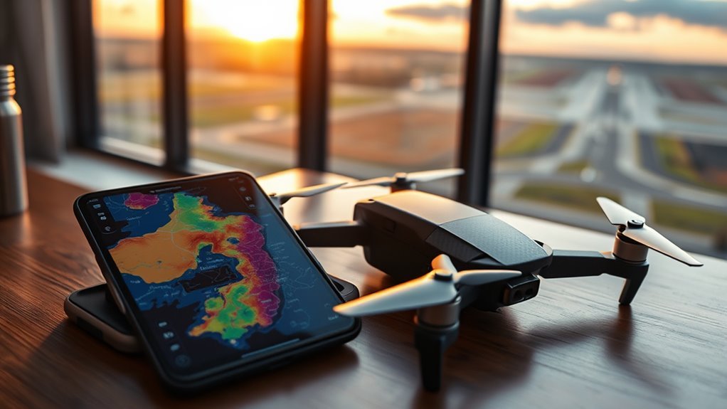
In 2026, drone software is less about convenience and more about operational discipline. The strongest apps now combine airspace checks, LAANC requests, weather risk data, flight logs, and mission planning in one workflow. That shift changes how pilots decide, document, and execute every flight. The real question is which tools actually reduce risk without adding friction, and which only appear useful until conditions turn complex.
How to Pick the Right Drone Apps
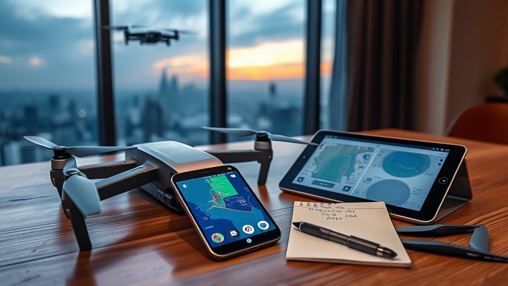
Selecting the right drone apps begins with prioritizing compliance and airspace tools, such as B4UFLY or Aloft, to verify flight zones and obtain near-real-time LAANC authorizations before takeoff.
From there, a lean stack should cover airspace compliance, flight planning, and mission execution without duplicate functions. DJI Fly remains the core control layer for firmware, live view, and basic operational oversight, while third-party tools extend automated flight and waypoint logic.
A lean stack should cover compliance, planning, and execution without duplicate functions.
For risk reduction, weather tools such as UAV Forecast add predictive data that supports safer launch decisions; weather variability drives a large share of incidents.
Drone mapping software is useful when the objective includes survey-grade capture or repeatable routes. Flight logs should be retained for performance review, maintenance tracking, and accountability.
The most effective setup typically combines three to four apps, each assigned a distinct role. That structure preserves operational freedom while keeping the system efficient, auditable, and scalable.
Best Drone Airspace and LAANC Apps
Airspace and LAANC apps form the compliance layer of a drone workflow, letting pilots verify authorized zones, review Temporary Flight Restrictions, and request low-altitude approvals before flight. For a commercial drone operator, these planning tools reduce friction in flight control and support safer, faster authorization. B4UFLY-style interfaces use color-coded maps to mark approved, caution, and restricted airspace, while mapping app overlays improve route selection and mission planning. OpenSky and Aloft combine airspace intelligence with LAANC submission paths, giving near-real-time clearance in controlled areas. Privacy-focused options also matter, especially when handling sensitive operational data.
| App Type | Core Function | Value |
|---|---|---|
| B4UFLY-style | Airspace status | Fast visual compliance |
| OpenSky/Aloft | LAANC requests | Near-real-time authorization |
| Privacy-focused | Data protection | Regulatory alignment |
Used alongside weather data, these apps sharpen safety decisions and preserve operational freedom.
Drone Weather Apps for Safer Flights
Weather intelligence adds the next layer of flight readiness after airspace checks, helping pilots assess whether conditions support a safe launch and stable mission execution.
Drone weather apps such as UAV Forecast deliver hyperlocal weather data and real-time readings so pilot assessments can set flight thresholds around wind, precipitation, and temperature. This matters because weather-related incidents account for roughly 28% of drone mishaps, making flight safety dependent on conditions rather than assumptions.
Windy extends this analysis with interactive maps that visualize shifting weather conditions before takeoff. Many platforms include free tiers, while premium subscriptions add detailed charts and alerts for tighter operational control.
Used alongside LAANC-enabled tools, these apps align regulatory access with suitable weather conditions, reducing exposure to avoidable risk. The result is a more autonomous decision process: pilots can evaluate, launch, or delay with precision, preserving operational freedom while maintaining disciplined safety margins.
Drone Flight Logging and Maintenance Apps
Flight logging apps provide a structured record of each mission by automatically capturing duration, altitude, GPS coordinates, and other operational data needed for compliance and maintenance oversight. In drone operations, this flight logging supports FAA regulations, strengthens safety, and preserves flight data for commercial operations.
| App | Core Function | Operational Value |
|---|---|---|
| AirData UAV | Analytics dashboard | Detects battery, GPS, and maintenance trends |
| DroneLogbook | Cloud storage | Enables collaboration across teams |
| Export tools | CSV/GPX output | Simplifies record-keeping and sharing |
AirData UAV converts logs into actionable maintenance signals, helping pilots identify wear before failure and schedule checks by flight hours or condition triggers. Export options keep records portable, while cloud storage supports distributed teams that need transparent access to maintenance histories. This analytical layer gives operators more control over assets, reducing downtime and extending service life without bureaucratic friction.
Drone Planning Apps for Mapping Missions
Mapping efficiency depends on disciplined mission planning, and drone apps such as DJI Pilot 2 and DroneDeploy give operators direct control over flight paths, altitude, and image overlap for reliable data capture.
These drone planning apps support mapping missions by combining waypoint design, terrain-following capabilities, and automated grid pattern flights that reduce manual adjustment. By holding consistent ground sampling distance across uneven terrain, they improve data uniformity and limit missed coverage.
Real-time weather data is often embedded in mission planning tools, allowing pilots to avoid conditions linked to roughly 28% of drone incidents. In agriculture, construction, and surveying, this integration sharpens mapping project efficiency and shortens turnaround time.
The result is cleaner orthomosaics and denser point clouds, produced with fewer passes and less operational friction. For teams seeking autonomy from guesswork, these platforms turn complex aerial collection into a structured, repeatable workflow.
Frequently Asked Questions
What Is the Best App for Drone Flight Logging?
AirData UAV is often judged the strongest option for drone flight logging, because its flight data analytics are robust and its app features are extensive.
Its user interface is efficient, with cloud storage, integration options, offline access, and broad device compatibility. Community support is active, and user reviews are favorable.
DroneLogbook remains competitive, so a cost comparison is sensible.
Skyward adds compliance utility, but AirData usually leads for pure logging.
What Is the Best App for Drone Airspace?
Aloft is often judged the best app for drone airspace because its airspace maps, drone regulations support, and LAANC integration tools strengthen flight safety.
App comparisons and user reviews usually favor its feature updates, though cost analysis may influence choice.
B4UFLY remains useful.
Community forums highlight troubleshooting tips, while privacy controls matter for liberated, independent operators seeking open access to compliant flight planning and situational awareness.
What Is the Best App for Drone Flight Weather?
UAV Forecast appears best for drone flight weather. Like a compass in a storm, it gives drone weather apps hyperlocal, real time updates with strong weather data accuracy, clear forecast visualization tools, and practical flight safety tips.
Windy is a strong companion for seasonal weather impacts and mapping. User reviews comparison often favors UAV Forecast for app interface usability, while integration features and offline access options strengthen planning under changing conditions.
What Is the Best Software for Drone Flight Planning?
The best software for drone flight planning is Map Pilot Pro for DJI users, with Autopylot and UAV Forecast as strong alternatives.
It supports drone regulations impact, flight safety tips, battery management strategies, camera settings optimization, drone maintenance checklist, aerial photography techniques, no fly zones awareness, emergency landing procedures, drone community resources, and insurance options exploration.
This enables operators to plan efficiently, reduce constraint, and maximize autonomous aerial capability.
Conclusion
The evidence suggests a practical theory: the best drone apps are not isolated tools, but a coordinated safety system. Airspace, weather, LAANC, logging, and planning become most effective when they reinforce one another in real time. This integration reduces uncertainty, improves compliance, and limits operational risk. For pilots, the deeper lesson is clear: better data does not merely streamline flights; it changes decision quality, which is the true foundation of safe and efficient drone operations.