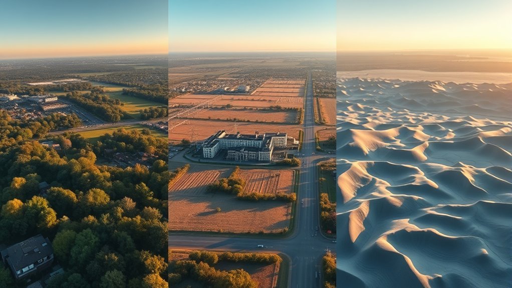
Choosing between a DSM, DTM, and DEM changes how drone data supports a project. A DSM captures roofs, trees, and other surface objects; a DTM strips them away to expose bare earth; a DEM is often used as a broader elevation term, but its meaning can vary by source. The wrong choice can distort volume, slope, or drainage results. The key differences are subtle, and the operational impact is larger than it first appears.
What’s the Difference Between DSM, DTM, and DEM?
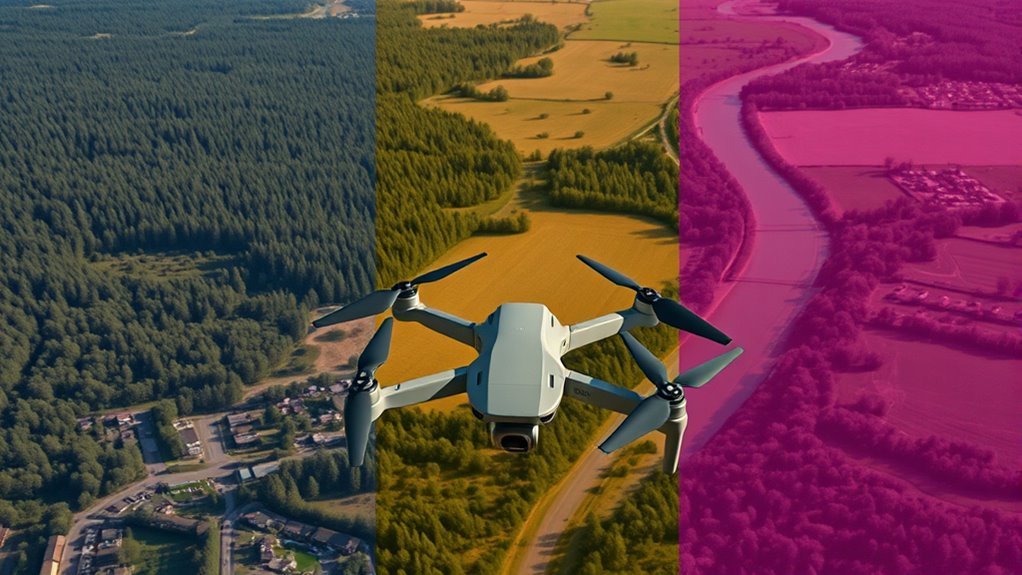
A Digital Elevation Model (DEM) is the umbrella term for 3D representations of the Earth’s surface, encompassing both Digital Surface Models (DSMs) and Digital Terrain Models (DTMs).
These elevation models differ by what is retained in the raster: a DSM includes surface features, such as vegetation and buildings, and records the highest elevation points at each location. Typical ground sampling distance ranges from 2–10 cm, with vertical accuracy often 5–15 cm, depending on terrain and data collection methods.
A DTM removes above-ground objects, isolating bare earth for analysis. Its quality depends strongly on point classification and manual quality control. For hydrological modeling, drainage planning, grading, and earthworks, a DTM supports precise terrain logic.
When Should You Use a DSM?
A DSM should be used when the objective is to capture all surface features above ground, including buildings, trees, and utility lines, with centimeter-level detail from photogrammetry or LiDAR.
It supports planning workflows that must account for obstacles, such as infrastructure layout, shading impacts, and vegetation constraints.
It is also the preferred model for line-of-sight analysis because it represents the full surface geometry needed to evaluate visibility accurately.
Capturing Surface Features
When surface obstructions must be represented, a DSM is the appropriate elevation model because it captures the highest visible elevations of buildings, trees, and other above-ground features. A Digital Surface Model (DSM) supplies elevation data for surface features with accurate representation, while a Digital Terrain Model (DTM) is used after above-ground features removed.
| Use case | DSM value | Data need |
|---|---|---|
| Line-of-sight analysis | High | Obstruction heights |
| Urban planning | High | Structure and canopy detail |
| Vegetation management | High | Canopy metrics |
Photogrammetry and LiDAR data collection typically deliver 2–10 cm ground sampling distance and 5–15 cm vertical accuracy, enabling disciplined decisions. For telecom, solar, and site evaluation, DSM-derived surface features support line-of-sight analysis and urban planning without obscuring terrain intelligence.
Planning With Obstacles
For planning scenarios that involve above-ground obstacles, a DSM is the appropriate elevation model because it records the tops of buildings, trees, and power lines rather than bare earth alone.
A Digital Surface Model (DSM) supplies measurable heights for above-ground features, enabling technical review of urban developments and infrastructure corridors. In project planning, it supports compliance with zoning regulations and building codes by quantifying structure elevations.
For vegetation management, DSM outputs estimate tree canopy height and identify encroachment risks to utilities or rights-of-way. Combined with subsurface utility data, a DSM strengthens decision matrices and reduces avoidable conflict.
These planning scenarios benefit from a surface representation that is complete, auditable, and actionable, allowing communities to direct development with greater autonomy and fewer spatial uncertainties.
Line-Of-Sight Analysis
Line-of-sight analysis often relies on a Digital Surface Model (DSM) because it captures buildings, trees, and other above-ground obstructions that affect visibility between two points.
In practice, line-of-sight models use the Digital Surface Model (DSM) to resolve above-ground features with vertical precision typically between 5 and 15 centimeters. This supports telecommunications planning, antenna siting, and urban planning where obstruction risk must be quantified, not guessed.
DSM-derived visibility maps also expose shading impacts from structures and vegetation, improving solar assessments and energy yield estimates.
When Does a DTM Work Best?
A Digital Terrain Model performs best wherever an accurate bare-earth surface is required, particularly in hydrological modeling and flood risk assessment. A DTM strips away above-ground features, giving civil engineering teams terrain they can trust for grading, excavation, and other data-driven decisions.
- Hydrological modeling depends on clean elevation inputs for runoff routing.
- Flood risk studies require accurate terrain to identify low points and flow paths.
- Volumetric calculations for cut-and-fill benefit from bare earth precision.
- Drainage systems design improves when interpolation methods such as kriging or TIN create continuous surfaces.
In complex landscapes, classification processes must separate ground from vegetation and structures with rigor.
Manual quality control often remains necessary to protect model integrity and preserve operational freedom.
When the ground surface is represented correctly, DTM outputs support faster planning, lower uncertainty, and more reliable engineering outcomes.
How Are DSM, DTM, and DEM Made From Drone Data?
DSMs, DTMs, and DEMs start with aerial imagery or LiDAR captured by the drone, which is then processed into a dense point cloud. From this drone data, processing algorithms convert matched aerial images into 3D coordinates through photogrammetry and triangulation, using known drone positions to compute elevation values.
Ground control points are added to anchor the model to surveyed heights, improving metric accuracy and reducing positional drift.
A DSM retains all visible surfaces, including roofs, roads, and vegetation, and typically reflects fine ground sampling distances of 2–10 centimeters.
A DTM is derived by filtering the point cloud to remove above-ground returns, leaving a bare-earth surface.
A DEM is the broader elevation grid; in practice, it may represent either the DSM or the DTM, depending on the workflow and naming convention.
Each product emerges from the same source data, but with different filtering, classification, and surface reconstruction choices, supporting informed aerial mapping decisions.
Which Elevation Model Fits Your Drone Project?
Selecting the right elevation model depends on the project objective, because DSMs and DTMs serve different analytical needs within the broader DEM category. For any drone project, accurate model selection aligns data products with project goals and frees decisions from guesswork.
- DSM: Use when surface models must include buildings, trees, and other obstructions; it supports urban planning, line-of-sight, and asset exposure analysis.
- DTM: Use when bare-earth elevation is required for terrain shape assessment, water flow simulation, drainage design, and earthwork estimation.
- Digital Elevation Models: Use as the umbrella term when a workflow needs elevation data without specifying whether surface or terrain detail is required.
- Resolution: Match output density to the task; DSM workflows often operate at 2–10 cm ground sampling distance, improving feature detection.
A precise choice between DSM and DTM improves technical fidelity, reduces rework, and supports independent, evidence-based decision-making.
What Mistakes Should You Avoid When Choosing a Model?
Several common errors can undermine elevation-model selection in drone workflows. Confusing DSM, DTM, and DEM terminology often drives a drone project toward the wrong elevation models, reducing fit for purpose.
Model selection should follow project requirements: drainage analysis typically needs ground-only DTM data, while urban planning may require DSM structure detail.
Data quality is another critical variable; poor resolution or incomplete coverage degrades accuracy and can introduce design risk.
Processing complexity is frequently underestimated, especially when a DTM must be derived from dense imagery and classified surfaces, increasing time, compute load, and cost.
Quality control is equally essential. Without validation checks, residual errors remain hidden, weakening analysis reliability and limiting informed action.
A disciplined approach treats each model as a distinct instrument, not a generic output. Clear definitions, measured inputs, and systematic QA preserve accuracy, reduce delay, and support more liberated, evidence-based decisions.
Frequently Asked Questions
How Does Vegetation Density Affect Elevation Model Accuracy?
Vegetation density reduces elevation-model accuracy because vegetation impact increases canopy interference, obscuring ground returns and inflating elevations.
At high model resolution, data collection still may miss bare-earth points where terrain variability is large. Sensor limitations further degrade algorithm performance, requiring accuracy assessments that separate canopy from ground.
Post processing techniques can mitigate mapping challenges, but residual bias persists, especially in dense forests and uneven cover, limiting precise terrain recovery for liberated planning.
Can Drones Create Terrain Models Under Dense Forest Canopy?
Yes, but only with constraints. Dense forest canopy can obscure ground returns, so drone capabilities for terrain mapping depend on vegetation interference, sensor limitations, and project requirements.
LiDAR and multi-angle mapping techniques from aerial surveys improve data accuracy, yet elevation challenges remain where canopy closure is extreme.
For audiences seeking liberation from guesswork, the evidence is clear: under heavy cover, standard photogrammetry rarely yields reliable bare-earth terrain models.
What Ground Control Points Improve Elevation Model Precision?
Ground control points improve elevation model precision when placed to maximize ground control across stable, well-defined surfaces.
Precision improvement depends on point distribution, GCP placement, and surveying techniques that reduce bias in data collection.
Careful model validation and accuracy assessment increase elevation accuracy, especially where project requirements demand centimeter-level output.
For liberation-oriented users, reliable geospatial measurements support autonomous planning, land stewardship, and evidence-based decision-making without dependence on opaque external mapping claims.
How Do Lidar and Photogrammetry Differ for Mapping Surfaces?
Lidar measures surfaces with laser pulses, producing consistent Lidar accuracy through active data collection, while Photogrammetry uses overlapping images, yielding high Photogrammetry resolution but greater sensitivity to lighting and texture.
For surface mapping, processing techniques differ: lidar needs point-cloud classification, photogrammetry needs image matching.
Cost comparison usually favors photogrammetry; application suitability depends on terrain, user expertise, software options, and project scalability.
Both can support liberation-oriented access to spatial data.
Which File Formats Are Best for Exporting Elevation Models?
GeoTIFF, LAS/LAZ, and ASCII grid are often the most effective export formats; like a well-cut key, each opens different workflows.
Choice depends on model compatibility, data resolution, software integration, file size, processing speed, and user preferences.
GeoTIFF suits visualization tools and industry standards, LAS/LAZ preserves point detail, and ASCII supports archival practices.
They enable precise, liberated analysis without forcing dependence on proprietary platforms.
Conclusion
To summarize, selecting among DSM, DTM, and DEM depends on how much surface character a project can graciously accommodate. A DSM preserves buildings, trees, and other proud elevations, making it well suited for asset mapping and volumetric analysis. A DTM, by contrast, offers a more restrained view of the bare earth, supporting drainage and earthworks with greater fidelity. A DEM remains the broader umbrella, and choosing well helps avoid costly interpretive detours.
