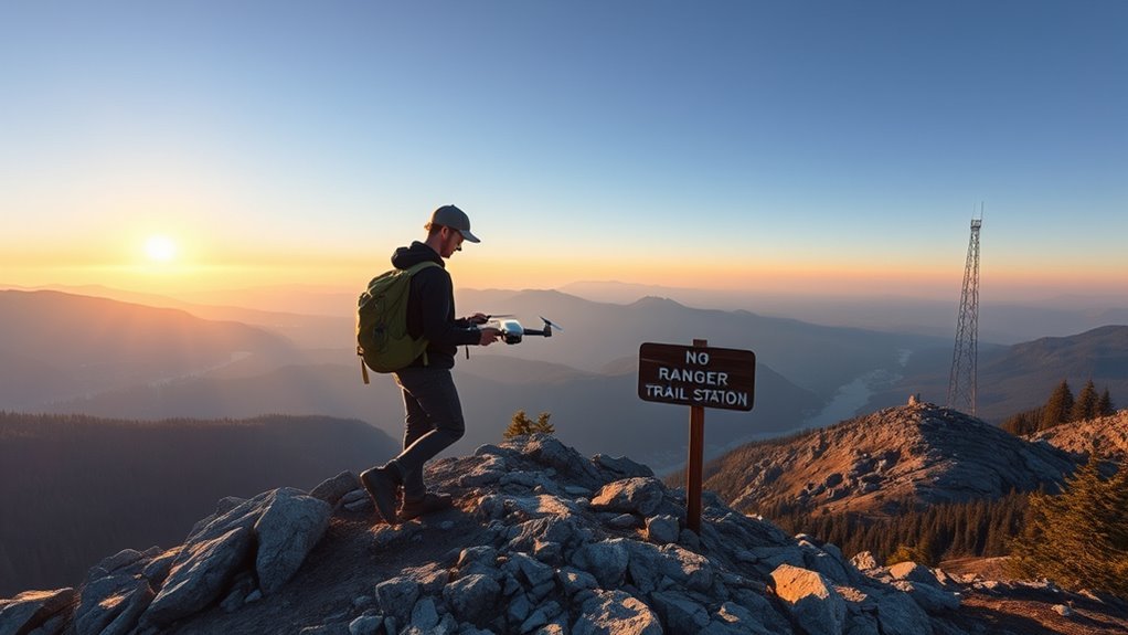
Hiking with a drone looks simple until the details matter. Weight affects pack space and fatigue. Battery life can drop fast in cold weather, making extra power essential. Wildlife rules can limit when and where a flight is acceptable, and some places, including Wilderness Areas and airport zones, are off-limits. The practical challenge is not just carrying a drone, but knowing when it should stay grounded.
Choose the Best Hiking Drone
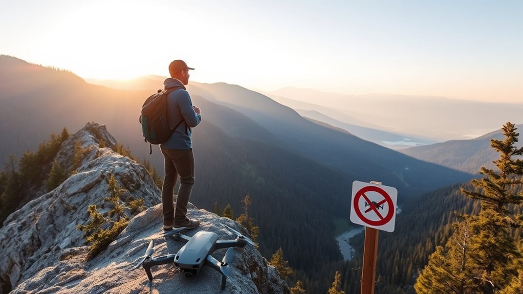
When choosing a hiking drone, lightweight and compact models such as the DJI Mini 2 are often the most practical, since they are easy to carry on long trails without adding much weight. Under 0.55 pounds, it reduces pack strain and supports mobility on demanding routes.
Lightweight, compact drones like the DJI Mini 2 are ideal for hikers seeking easy carry and minimal pack strain.
A drone should also be easy to fly, with intuitive controls and smart modes such as Active Track, which help beginners maintain stable flights and focus on the landscape rather than constant manual correction. Wind resistance matters as well; models like the DJI Mavic Air 2 offer stronger stabilization and a high thrust-to-weight ratio for breezy ridgelines.
These features help protect wildlife by supporting controlled, less disruptive operation near sensitive habitats. Real-world flight time should be checked against manufacturer claims, because performance in the field is often lower than advertised.
A balanced choice gives hikers freedom without sacrificing control, durability, or responsible use.
Manage Battery Life on the Trail
Battery management on the trail requires realistic expectations, since real-world flight times are often shorter than manufacturer claims, especially in cold conditions. Hikers who fly drones should plan for reduced battery life and build each outing around safe margins rather than maximum airtime.
- Carry multiple batteries to extend each flight session.
- Keep one battery warm in a pocket to limit power loss.
- Check battery levels before every launch and after every photo pass.
Early flights can drain power faster than expected, especially when the pilot is still searching for the shot. Smart flight modes such as Active Track can reduce unnecessary maneuvers and help conserve battery life.
Obstacle Avoidance may also support smoother routing, but it does not replace careful planning. Each flight should leave enough reserve for a direct return and a safe landing before additional footage is attempted. This approach preserves freedom in the field while reducing avoidable risk.
Handle Wind and Cold on the Trail
Wind and cold can change drone performance quickly on the trail, so flight plans should account for both conditions before takeoff.
In exposed terrain, a drone with a high thrust-to-weight ratio and strong stabilization is better able to hold position when gusts rise. Field testing has shown that some models lose control margin in strong wind, so wind-resistant designs are the safer choice for trail use.
Cold air can also cut battery efficiency and reduce available minutes of flight, making prewarming batteries in pockets a practical step before launch.
Rangers and pilots should also confirm local rules, since a national park or other protected area may restrict flight because of weather, wildlife, or access concerns. When animals are present, maintaining at least 328 feet of distance helps avoid disturbance.
Careful planning protects flight time, preserves autonomy, and reduces avoidable failures in harsh trail conditions.
Use Simple Controls to Get Better Shots
Smart flight modes can simplify operation and help produce steady, well-composed shots with minimal manual input.
One-tap cinematic features allow a drone to capture polished motion sequences quickly, even in changing trail conditions.
An easy control layout also helps pilots adjust settings efficiently and focus more on framing than on complex commands.
Smart Flight Modes
Drone smart flight modes such as Active Track and QuickShots make it possible to capture dynamic footage without advanced piloting skills. These options use smart tracking to follow subjects, while automated settings help drones adapt to changing light and weather. For hikers, the result is more time spent moving freely and less time managing controls.
- Pre-programmed paths can produce orbits, reveals, and other polished moves.
- Creative compositions become easier because attention stays on framing, not complex inputs.
- Beginners can document trails and summits with minimal effort and consistent results.
One-Tap Cinematic Shots
One-tap cinematic modes let hikers capture polished footage with minimal effort.
Many compact drones, including the DJI Mini 2, provide QuickShots such as Dronie and Circle, which automate drone photography techniques with a single tap.
Active Track can follow a moving subject on its own, reducing manual input while preserving motion and framing.
The Mavic Air 2 adds SmartPhoto features that optimize exposure and color automatically, helping users focus on the scene rather than settings.
These functions support capturing breathtaking landscapes and spontaneous aerial moments without demanding advanced piloting skills.
For hikers seeking freedom from complex controls, learning these simple modes can improve results quickly.
They also help keep attention on the trail, the subject, and the changing environment, while the drone handles the cinematic sequence.
Easy Control Layout
Easy control layouts help hikers capture better shots by reducing the need to manage complex flight inputs during a trail outing. User friendly interfaces and beginner friendly features can free attention for framing, timing, and terrain awareness.
Compact models such as the DJI Mini 2 often provide intuitive navigation tips through simple menus and smart modes, including Active Track and QuickShots.
- Faster deployment supports unexpected photo opportunities.
- Simple controls improve reaction time in changing weather.
- Gradual positioning helps avoid disturbing wildlife.
These controls can also make spontaneous shooting more practical, since the operator can respond quickly to light shifts, wind, and movement.
For hikers seeking liberation from technical clutter, an easy layout supports clearer decision-making and more consistent results in the field.
Protect Your Drone From Rough Landings
Durable frames can help a drone absorb the impact of accidental rough landings during hikes.
Landing pads provide a cleaner, more stable surface that protects motors and cameras from dirt, debris, and uneven ground.
Together, these measures reduce damage risk during takeoff and touchdown.
Durable Frames
A drone’s frame plays a key role in surviving the rough landings common on hiking trails and uneven outdoor terrain. Durable frame materials matter because reinforced plastic and carbon fiber improve impact resistance while keeping weight low.
Protective features also contribute to shock absorption when the aircraft touches down on rocks, roots, or sloped ground.
- Check frame materials for strength and low mass.
- Inspect bumpers and landing gear after impacts.
- Follow maintenance tips by examining cracks, loosened parts, and stress marks.
Regular inspection helps preserve reliability after rough use. A sturdy carrying case adds another layer of protection during transport, reducing accidental damage before flight.
For hikers seeking freedom in remote places, a resilient frame supports safer travel and more consistent aerial work.
Landing Pads
Landing pads give drones a clean, stable surface for takeoff and landing, helping shield motors and gimbals from dirt, mud, and debris on rugged trails. Their landing pad benefits include lower wear, fewer impacts from grit, and better control on soft or uneven ground.
For hikers, portable designs matter: many pads are lightweight and foldable, so they fit easily in a pack without burdening movement. Visibility features such as bright colors or bold patterns make the pad easier to spot in tall grass, loose rock, or dim light, reducing search time and simplifying recovery.
Know the Wildlife Rules Before Takeoff
Before takeoff, operators should confirm all wildlife-related flight rules for the area, including any National Park Service restrictions and local regulations near habitats.
Wildlife safety depends on distance and restraint, and drone etiquette requires avoiding unnecessary intrusion over animals. A minimum separation of 328 feet helps prevent stress, startled movement, and changes in natural behavior. These limits support habitat preservation by reducing repeated disturbance.
Wildlife safety depends on distance and restraint; keep 328 feet away to avoid stress and protect natural behavior.
- Check National Park Service guidance before launch.
- Verify local rules near nesting, feeding, and migration areas.
- Keep clear of wildlife and do not pursue or hover over animals.
Some places add specific limits even when general aviation rules seem permissive. Designated Wilderness Areas, including Red Rock-Secret Mountain Wilderness, prohibit drone use under the Wilderness Act of 1964.
Operators who prepare in advance can protect animals, respect public land, and preserve the freedom to hike with equipment without causing avoidable harm.
Where You Can’t Fly a Drone
Drone access is prohibited in Wilderness Areas under the Wilderness Act of 1964, including the Red Rock-Secret Mountain Wilderness and Munds Mountain Wilderness. Access is also limited in Designated Primitive Areas.
These wilderness restrictions are firm drone regulations, not suggestions, and they narrow route choices for hikers who carry aircraft for aerial imaging or mapping.
Flying is also restricted near Sedona Airport and Flagstaff Pulliam Airport, where five-nautical-mile airport buffers apply. Temporary flight restrictions may appear without much notice, changing where launch and recovery remain lawful.
FAA guidelines further bar operations near critical facilities and active emergency response scenes. For operators seeking freedom of movement, compliance still matters: airspace limits can outweigh trail access.
Before departure, checking current charts, notices, and local orders is necessary to avoid violations and preserve lawful use. The result is a narrower but clear flight plan.
Frequently Asked Questions
Can FAA Know You Flew a DJI Drone?
Yes, the FAA can know a DJI drone was flown. If the drone requires drone registration, its ownership can be traced, and flight logs may reveal location, altitude, and time.
DJI GPS records and geofencing can also document flight restrictions violations. The FAA does not watch every flight, but it can investigate complaints or incidents.
Good battery management and lawful operation reduce exposure, while careless flights can create evidence.
Can You Fly Over a National Park With a Drone?
No, a drone should not be flown over a national park. National park policies prohibit personal drone use, and drone regulations there are enforced to support wildlife conservation and protect natural features.
The restriction applies regardless of weight, battery size, or whether the flight is recreational or commercial.
Anyone seeking freedom to fly should check the specific park rules first, because violations can bring penalties and interrupt access.
Where Can You Not Fly Your Drone?
A drone should not be flown in designated no fly zones, including Wilderness Areas, airports’ five-nautical-mile buffers, and any temporary flight restrictions.
Drone regulations also bar flights that interfere with emergency response, exceed 400 feet in Arizona, come within 250 vertical feet of critical facilities, or approach wildlife too closely.
These airspace restrictions limit use, but they also protect shared spaces and preserve freedom by preventing unnecessary risk and control.
Can You Fly a Drone Under 250 Grams Anywhere?
No. Drone regulations do not allow a drone under 250 grams to fly anywhere.
Lightweight drones may face fewer rules, but they still must follow FAA limits, local laws, and flight safety requirements.
Airports, military sites, national parks, and wilderness areas remain restricted, and wildlife protections may also apply.
The low weight offers flexibility, not absolute freedom, so each launch still requires checking airspace and site-specific restrictions.
Conclusion
A well-packed hiking drone behaves like a tiny bureaucrat with propellers: lightweight, charged, and surprisingly dependent on good judgment. Under 0.55 pounds, it slips into a pack; with spare batteries, it survives the trail; with a warm spare, it resists the cold. It also prefers not to audition as wildlife’s surprise guest, nor to trespass in Wilderness Areas, airports, or other no-fly zones. Responsible flying keeps the hike scenic and the regulations unimpressed.