
When it comes to drone surveying, understanding the differences between RTK and PPK is essential for optimizing your operations. Each technology affects how you collect, correct, and validate positioning data in the field. RTK gives you corrected positions during the flight, while PPK lets you correct the data after the mission. Whether you prioritize real-time results for immediate decisions or need robust performance in challenging environments, the choice depends on your site conditions, workflow, accuracy needs, and tolerance for post-processing.
Quick Answer
RTK is usually better when you need corrected positions in real time and have a stable connection to a base station or correction network. PPK is usually better when you work in remote, obstructed, or signal-challenged areas because it corrects GNSS data after the flight.
Key Takeaways
- RTK applies positioning corrections during the flight, which helps when you need immediate field feedback.
- PPK stores GNSS data during the flight and corrects it later, which helps when live correction links are unreliable.
- Both methods can support centimeter-level survey workflows when configured, flown, and processed correctly.
- RTK depends more on a continuous correction link, while PPK depends more on clean data logging and post-processing.
- Your best choice depends on terrain, connectivity, project size, deliverable deadlines, and how much control you need during the flight.
Understanding RTK and PPK Technologies
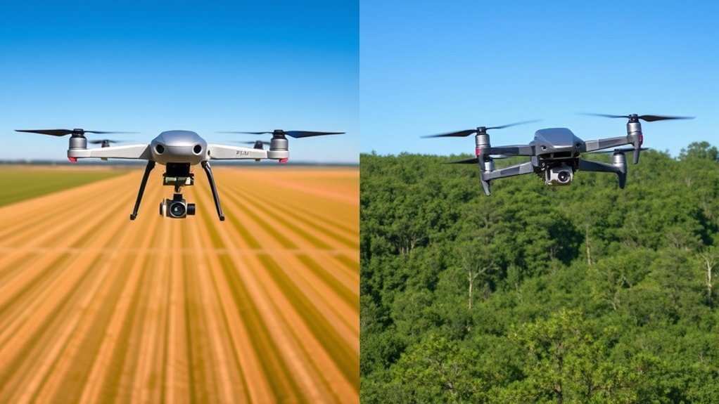
When you’re choosing between RTK and PPK technologies for drone operations, you need to understand how each method handles GNSS correction data.
RTK, or Real-Time Kinematic, provides immediate GPS or GNSS corrections during flight. It relies on a live connection to a local base station, a correction service, or a CORS-style reference network. Because the drone receives corrections while it flies, RTK can help you check positioning quality before you leave the site.
RTK delivers instant positioning corrections during flight, helping you confirm survey quality while the mission is still active.
In contrast, PPK, or Post-Processed Kinematic, captures raw GNSS data during the flight and applies corrections afterward. This makes PPK useful when your drone may lose radio, cellular, or network coverage during a mission.
Both systems can support centimeter-level accuracy, but they do it in different ways. RTK focuses on live correction and field efficiency. PPK focuses on reliable data capture and correction after the flight. That difference matters when you work around trees, buildings, steep terrain, long flight lines, or remote job sites.
Consequently, your choice hinges on project requirements. If you need immediate data access and operate in open conditions with stable connectivity, RTK is often preferable. However, if you’re surveying in remote areas with variable connectivity, PPK may give you a more reliable workflow.
Note: RTK and PPK do not replace good survey planning. You still need proper mission settings, accurate base data, enough satellite visibility, and quality checks before accepting final deliverables.
Pros and Cons of RTK
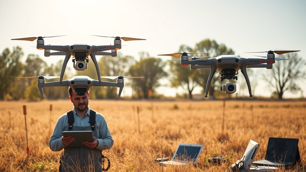
When you utilize RTK technology, you gain real-time access to precise positioning data, which can improve survey efficiency and reduce uncertainty in the field.
However, RTK depends on stable correction links. If your connection drops during the flight, your positioning quality may weaken, and you may need extra checks before using the data.
While RTK can reduce the need for Ground Control Points, its effectiveness can diminish in rugged, obstructed, or connection-limited terrain where maintaining a correction signal is difficult.
Real-Time Data Access
RTK technology offers a major advantage for real-time data access in drone operations. You can see corrected positioning performance while the aircraft is still collecting data, which helps you make faster field decisions.
You gain immediate access to high-accuracy GPS or GNSS data, enabling quick decisions in applications like construction progress mapping, earthwork tracking, mining, utilities, and emergency response. RTK can also reduce reliance on Ground Control Points when the project setup supports it.
However, the system’s effectiveness depends on a stable connection to a base station or correction network. This can become a problem in obstructed environments. Trees, buildings, terrain breaks, radio interference, and weak cellular coverage can all affect the correction link.
With proper setup, RTK can support centimeter-level accuracy, often described in the low-centimeter range. Yet potential signal disruptions require careful planning and site assessment. You need to confirm that your correction source, drone settings, mission area, and validation method all match the accuracy your project requires.
Network Dependency Issues
Although RTK technology offers strong accuracy potential, its reliance on continuous correction data introduces real network dependency issues.
In urban environments with tall buildings, trees, utility structures, or other obstructions, the drone may struggle to maintain a clean correction link. This can reduce the number of images or camera positions that receive reliable corrections.
This reliance adds complexity to your setup, especially in areas with high electromagnetic interference or weak cellular coverage. While RTK provides immediate correction data during the mission, interruptions can create data gaps, weaker position quality, or uncertainty that requires extra validation.
If you’re operating in remote locations or during long flights without reliable coverage, RTK’s effectiveness can be more limited than PPK. In those situations, PPK may provide a safer path because it does not need a continuous live correction connection throughout the flight.
Ground Control Point Reduction
By leveraging RTK technology, you can greatly reduce your reliance on Ground Control Points, often called GCPs. This can streamline your data collection process and shorten field setup time.
RTK provides real-time kinematic corrections that can support centimeter-level accuracy without the cumbersome setup of many GCPs. This efficiency can accelerate fieldwork and help you complete projects more quickly.
However, RTK does not mean you should ignore validation. Many professional workflows still use checkpoints to confirm that the dataset meets project requirements. Checkpoints help you prove accuracy rather than simply assume it.
If signal disruptions occur, your dependence on GCPs or checkpoints may increase to confirm data accuracy. In complex terrain or areas with limited connectivity, incorporating ground control or independent checkpoints remains advisable for reliable results.
Warning: Do not treat RTK status alone as proof of final survey accuracy. Always validate deliverables against project requirements, especially for engineering, construction, legal, or high-liability mapping work.
Pros and Cons of PPK
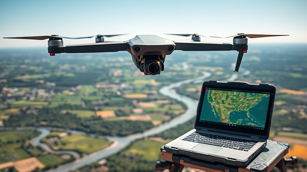
When considering PPK for your drone operations, you’ll appreciate its enhanced accuracy potential, especially in challenging environments.
This system offers flexibility in deployment because it does not rely on a constant correction link during the flight. It often requires fewer ground control points than traditional non-RTK or non-PPK workflows, depending on project requirements.
Although PPK involves post-processing time, that extra step can be more efficient than re-flying missions that suffered from live signal interruptions.
Enhanced Accuracy Potential
PPK technology offers significant advantages in achieving enhanced accuracy, especially in challenging environments where real-time corrections are unreliable.
By applying corrections to GPS or GNSS data after the flight, you can support centimeter-level precision in many mapping and surveying workflows. This makes PPK particularly effective in complex terrain, remote areas, and sites where a live correction stream may not hold steady.
Unlike RTK, PPK doesn’t require a continuous connection to a base station during flight. This reduces the risk that a temporary correction dropout will compromise the whole mission.
This setup can simplify some operational challenges because the drone focuses on logging raw data during the flight. You then correct that data after the mission using compatible software and appropriate base or reference data.
Additionally, PPK can reduce the need for multiple Ground Control Points in some workflows. In certain projects, you may use a smaller number of control or validation points, depending on the accuracy standard, site complexity, and deliverable requirements.
Flexibility in Deployment
Achieving enhanced accuracy with PPK technology naturally leads to discussions about its flexibility in deployment. PPK stands out because it doesn’t rely on a constant data connection during flight.
This makes it ideal for remote, obstructed, or long-distance environments. Your drone can independently collect raw GNSS data, which you can later correct during post-processing.
This approach minimizes the risk of losing corrected positioning data because of temporary signal interruptions. In challenging terrain, PPK workflows often require fewer live communication links during the flight, which can simplify mission execution.
Additionally, in large-scale mapping projects, PPK can help you navigate longer distances and complex environments without the same live signal coverage limitations. This is useful for corridors, farms, forests, mines, coastal areas, and other sites where connection quality may vary.
PPK can also reduce the need for multiple Ground Control Points, often allowing precise results with fewer validation points than traditional workflows. However, you should still use enough checkpoints to verify that the final output meets the project’s accuracy requirements.
Post-Processing Time Required
While post-processing might seem like a drawback of PPK technology, it often provides major benefits for accuracy, quality control, and reliability.
You can expect post-processing times to vary. A small mission may process quickly, while a large or complex project may take longer. Even so, this time investment can be minor compared with the cost of returning to the site for a re-flight.
Here are some key points to take into account:
- Accuracy: PPK supports centimeter-level precision through detailed data correction.
- Reliability: It reduces dependence on live correction links during flight.
- Environment: It works well in locations where real-time connections are difficult.
- Time Efficiency: Post-processing can be faster than fixing RTK failures after a poor mission.
- Quality Control: Processing after the flight gives you a chance to review logs, base data, and correction quality before final delivery.
In essence, the benefits of PPK often outweigh the time investment required for processing, especially when site conditions make live correction links unreliable.
Pro Tip: If your mission area has trees, buildings, hills, or weak cellular coverage, plan a PPK workflow or use enough checkpoints to protect your final accuracy.
Key Differences Between RTK and PPK

When comparing RTK and PPK for drone applications, understanding their fundamental differences is essential for selecting the right system for your needs.
RTK, or Real-Time Kinematic, provides immediate GPS or GNSS corrections during flight. It relies on a continuous connection to a base station, local correction source, or network correction service. This real-time correction can be highly efficient when the site has open sky and stable connectivity.
However, this connection can falter in obstructed environments, affecting accuracy and data confidence. If the correction link drops, some image positions may not receive the same quality of correction.
In contrast, PPK, or Post-Processed Kinematic, records GNSS data for later correction. This makes it more effective in challenging conditions where signal loss or communication interruptions can occur.
PPK can achieve similar accuracy after processing and often requires fewer ground control points than traditional methods. In some workflows, only a small number of control or validation points may be needed. Still, your final checkpoint strategy should match your project’s required accuracy.
This advantage is vital when working in urban settings, forests, valleys, construction corridors, or other environments where RTK may struggle due to signal interruptions from buildings, trees, terrain, or other obstructions.
Ultimately, your choice between RTK and PPK should hinge on your specific operational environment, deliverable timeline, accuracy requirements, and ability to validate final results.
| Factor | RTK | PPK |
| Correction timing | During the flight | After the flight |
| Connection need | Needs a stable live correction link | Does not need continuous live corrections |
| Best environment | Open sites with reliable connectivity | Remote, obstructed, or variable-connectivity sites |
| Workflow speed | Faster field feedback | Extra processing step after flight |
| Main risk | Correction dropouts during flight | Poor logs, wrong base data, or processing mistakes |
Use Cases for RTK and PPK
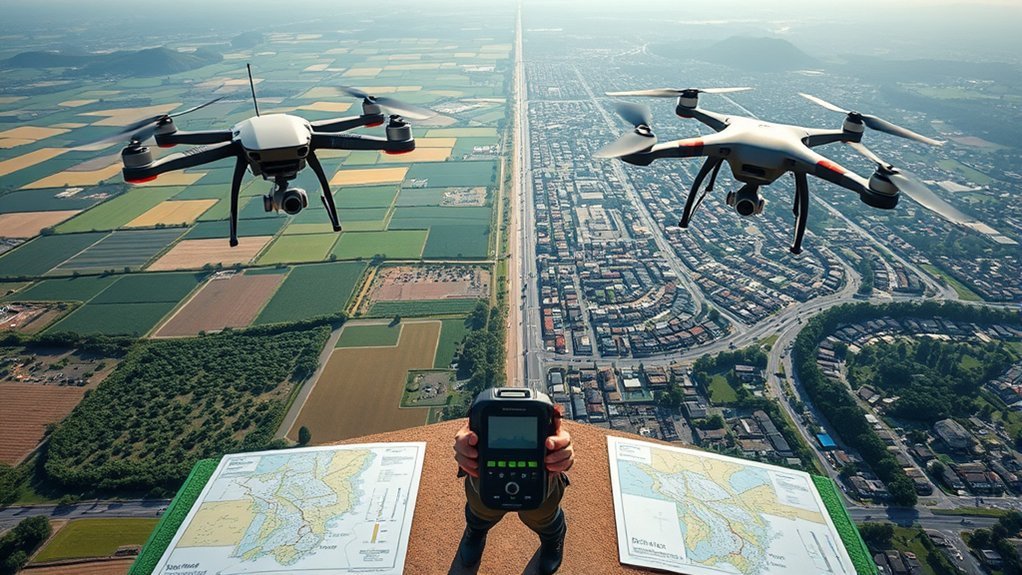
Numerous use cases highlight the distinct advantages of RTK and PPK technologies in drone operations.
Understanding these applications can help you choose the right technology for your needs.
Choosing the right technology for your drone needs starts with understanding your site, your deadline, and how much connection reliability you can expect.
- Construction and Mining: RTK offers real-time GPS corrections, facilitating immediate data needs for active project decision-making.
- Public Safety: Agencies can use RTK drones for real-time aerial situational awareness, fast mapping, and field coordination during emergencies.
- Surveying in Challenging Areas: PPK excels in surveying large-scale projects where signal coverage is unreliable, allowing high-accuracy mapping without live correction links.
- BVLOS Operations: Drones with PPK technology are useful for Beyond Visual Line of Sight operations, especially in complex terrain where RTK signals may be less reliable.
- Corridor Mapping: PPK works well for roads, rail lines, pipelines, and powerline corridors where the drone may move through areas with changing connectivity.
- Fast Site Checks: RTK can be useful when crews need quick visual and positional feedback before leaving the job site.
Factors to Consider When Choosing Between RTK and PPK
Choosing between RTK and PPK for your drone operations hinges on several vital factors that can greatly impact your project’s success.
First, consider the need for real-time data. RTK excels in scenarios requiring immediate decision-making, while PPK offers flexibility in complex environments without a live connection.
Your operational environment is essential. RTK thrives in open terrain with strong correction coverage. PPK is better suited for challenging landscapes, long corridors, remote sites, forest edges, urban canyons, and BVLOS-style operations where signal disruptions may occur.
Additionally, think about accuracy and Ground Control Points. PPK can achieve high accuracy with fewer GCPs than traditional methods in many projects. RTK can reduce or sometimes eliminate heavy GCP setup when stable corrections are maintained, but checkpoints remain important for validation.
Finally, weigh the turnaround time. RTK delivers immediate corrections, while PPK requires post-processing. That post-processing can be time-consuming, but it often proves more reliable under varied site conditions.
Choose RTK If
- You need corrected positions during the flight.
- Your job site has open sky and reliable correction coverage.
- You want faster field feedback before leaving the site.
- Your workflow depends on quick decisions during construction, inspection, or emergency response.
- You can verify results with checkpoints or other quality-control methods.
Choose PPK If
- You work in remote, obstructed, or connection-limited locations.
- Your drone may lose cellular, radio, or correction-network contact during flight.
- You can allow time for post-processing after the mission.
- You need reliable data capture across long corridors or large project areas.
- You want more flexibility when live correction links may fail.
Can You Use RTK and PPK Together?
Yes, some professional drone workflows can use RTK and PPK together. In this setup, RTK provides real-time positioning during the flight, while PPK gives you a backup correction path after the mission.
This hybrid approach can be useful when you want immediate field awareness but still need a more resilient final processing workflow. If the RTK link drops during part of the flight, PPK data may help you recover a reliable final solution.
However, not every drone, receiver, or software workflow supports both methods equally. Before relying on a hybrid workflow, confirm that your aircraft, base station, logs, and processing software are compatible.
Common Mistakes to Avoid
- Skipping checkpoints: Accurate-looking data still needs independent validation.
- Ignoring site conditions: Trees, buildings, terrain, and interference can affect GNSS quality.
- Using poor base data: PPK results depend heavily on correct base or reference data.
- Assuming RTK always removes GCPs: Some projects still require control points or checkpoints.
- Forgetting processing time: PPK requires time and skill after the flight.
- Choosing based on drone specs alone: The best method depends on the mission, not only the aircraft.
Frequently Asked Questions
Is PPK better than RTK?
PPK is often better than RTK in challenging environments where live correction links may fail. RTK is often better when you need real-time corrections and have reliable connectivity. Neither method is always better. The right choice depends on your site, workflow, and accuracy requirements.
Do I need RTK for my drone?
You don’t necessarily need RTK unless your projects demand real-time accuracy, immediate correction feedback, or faster field decisions. If you mainly work in signal-challenged areas, PPK may offer a more flexible and reliable workflow.
What are the disadvantages of RTK GPS?
RTK GPS can struggle when the correction link is unstable. Urban areas, trees, terrain, radio interference, weak cellular coverage, and long-distance missions can cause interruptions. These interruptions may reduce data confidence and may require checkpoints, GCPs, or re-flights.
How do you choose GPS for a drone?
Start by assessing your accuracy needs, mission environment, correction coverage, and data-processing timeline. Choose RTK when you need real-time precision in reliable coverage areas. Choose PPK when you need more flexibility in remote or obstructed terrain.
Does PPK still need ground control points?
PPK may reduce the number of Ground Control Points you need, but it does not remove the need for validation. Many professional projects still use checkpoints to confirm final accuracy and prove that the deliverable meets the required standard.
Is RTK faster than PPK?
RTK is usually faster in the field because corrections happen during the flight. PPK usually takes longer because you process the data after the mission. However, PPK can save time overall if it helps you avoid re-flights caused by RTK correction dropouts.
Conclusion
In choosing between RTK and PPK for your drone applications, weigh the immediate precision and field speed of RTK against the resilient, post-processed reliability of PPK.
RTK is a strong fit when you have stable correction coverage and need real-time confidence during the mission. PPK is a strong fit when you work in remote, obstructed, or complex environments where live correction links may fail.
Ultimately, your decision hinges on your specific operational needs, terrain challenges, accuracy requirements, and processing workflow. By understanding these technologies, you can navigate the complexities of aerial surveying and complete projects with stronger accuracy, better planning, and fewer avoidable re-flights.
