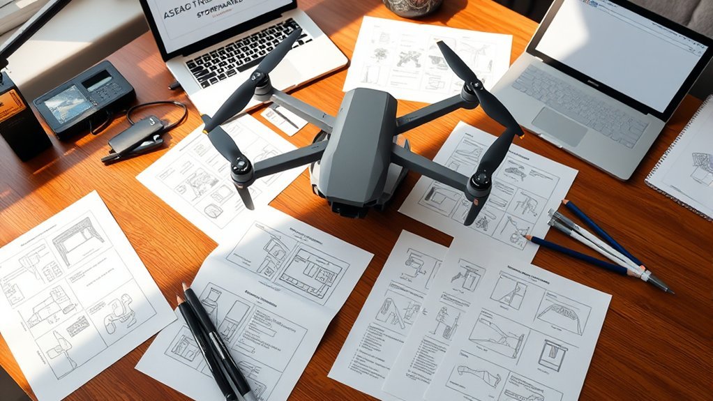
A drone shot list template turns an aerial concept into a field-ready filming plan. Use it to record each shot’s purpose, framing, movement, location, planned altitude, priority, clip length, battery block, safety notes, and completion status. Pair it with a drone storyboard to preview how those shots connect in the final edit. The result is a clearer shoot plan, less wasted battery time, fewer missed angles, and better coordination between the pilot, director, and camera team.
Quick Answer
A drone storyboard shows the visual sequence of your aerial shots, while a drone shot list converts that sequence into specific filming instructions. A useful shot list records the scene, purpose, framing, movement, location, priority, planned altitude, clip length, battery assignment, safety concerns, and shot status before the aircraft leaves the ground.
Key Takeaways
- A strong drone shot list gives the pilot, director, and camera team one shared plan.
- Useful fields include shot purpose, framing, movement, location, priority, planned altitude, clip length, battery block, safety notes, and status.
- Storyboards preview how individual aerial shots connect before production starts.
- Airspace checks, property permission, weather, battery planning, visual line of sight, and other applicable operating rules should be reviewed before filming.
- Prioritizing must-have shots and grouping nearby moves into battery blocks reduces wasted flight time.
At a Glance
| Best For | Drone filmmakers, real estate videographers, travel creators, event teams, and production crews |
| Time Required | 30 minutes to several hours, depending on project size and location complexity |
| Difficulty | Beginner to intermediate |
| Tools Needed | Drone shot list template, storyboard sheet, map or location notes, weather app, battery plan, permit notes, and camera settings checklist |
| Cost | Free to copy and use from this page; permit, authorization, parking, or location fees may vary by shoot |
Importance of Shot Lists in Aerial Filmmaking
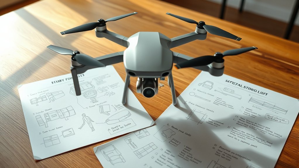
A shot list converts your creative idea into a sequence the drone team can actually fly. Instead of deciding every angle in the air, you record the subject, framing, movement, priority, flight direction, timing, and safety constraints before takeoff.
That shared plan makes communication easier. The director can define what the edit needs, the pilot can evaluate whether the proposed path is practical, and the rest of the crew can prepare the subject or location for each take.
A good list also helps you work around battery limits, weather, changing light, obstacles, access restrictions, and short production windows. For a deeper location-planning workflow, use the drone field scouting checklist before you finalize the shot order.
Planning coverage in advance can also reduce editing problems. Establishing shots, action coverage, transitions, details, backup angles, and exit shots are easier to capture when each one has a defined purpose instead of being improvised after launch.
Note: A drone shot list is a production-planning tool. It never overrides weather limits, airspace rules, property restrictions, operating requirements, or the remote pilot’s decision to stop an unsafe flight.
Elements of a Drone Shot List
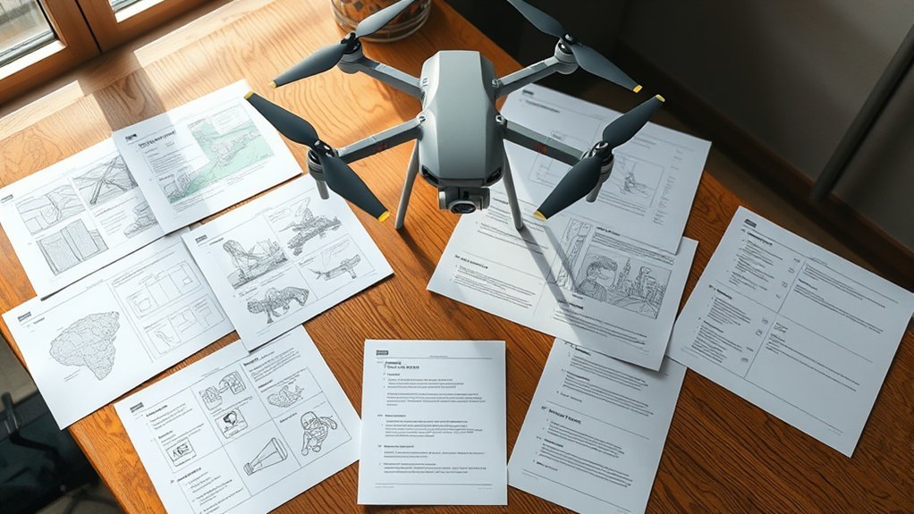
A useful drone shot list should be readable at a glance outdoors and detailed enough that the pilot does not have to guess what the director wants. Keep creative instructions, technical notes, and safety information together.
For each shot, record the scene and shot number, creative purpose, subject, location, framing, shot type, camera or aircraft movement, flight direction, planned altitude, clip length, deliverable orientation, priority, battery block, equipment notes, safety concerns, permissions, and completion status.
Essential Shot Types
Choose shot types according to what the edit needs rather than trying to collect every possible aerial move.
Use wide establishing shots when the audience needs to understand the location, property, landscape, event space, road, or relationship between several subjects.
Use tighter aerial details when a specific feature matters more than scale. Examples include a rooftop detail, vehicle, architectural feature, landscape texture, entrance, person, or action point.
Aerial tracking shots follow a moving subject such as a car, runner, boat, cyclist, or walking group. Their purpose is usually to maintain continuity with the subject while showing movement through the environment.
High-angle and top-down shots work well when layout, scale, geometry, crowd movement, roads, construction areas, farms, or spatial relationships matter.
Reveal, push-in, pullback, and orbit shots serve different story goals: a reveal introduces information gradually, a push-in directs attention toward a subject, a pullback exposes scale or ends a sequence, and an orbit shows the subject within its surroundings.
Camera Movement Considerations
Define movement precisely enough that it can be repeated. Record the starting position, intended direction, framing, approximate speed, planned altitude, subject movement, and the point where the shot should end.
Keep most shots mechanically simple. One controlled aircraft movement plus one intentional gimbal movement is often easier to repeat and edit than a shot that climbs, turns, pans, tilts, accelerates, and changes framing at the same time.
Environmental factors should also be part of the movement plan. Note wind direction, glare, shadows, trees, power lines, people, traffic, wildlife, reflective surfaces, restricted areas, and possible emergency landing locations.
If the creative goal is the main challenge, the cinematic drone shots starter playbook covers framing and movement techniques in more depth.
Location and Permissions
Separate three different questions before filming: whether the airspace allows the operation, whether you have permission to use the property or launch area, and whether the planned operation satisfies the rules that apply to your flight.
Include the address or coordinates, access points, parking notes, launch area, landing area, emergency landing options, and relevant property contacts in the shot list.
For U.S. flights, check controlled airspace, Temporary Flight Restrictions, airport-related restrictions, and other current airspace information using official FAA resources and approved services. Property or venue permission is separate from FAA airspace authorization.
Document any required permit, venue approval, property-owner permission, client approval, or airspace authorization so the crew knows exactly what has been cleared and what has not.
Warning: Never fly only because a planned shot looks good on paper. If weather, people, aircraft activity, visibility, battery condition, airspace, wildlife, obstacles, or another changing condition makes the operation unsafe or noncompliant, revise the shot or stop the flight.
How to Create Effective Drone Storyboards
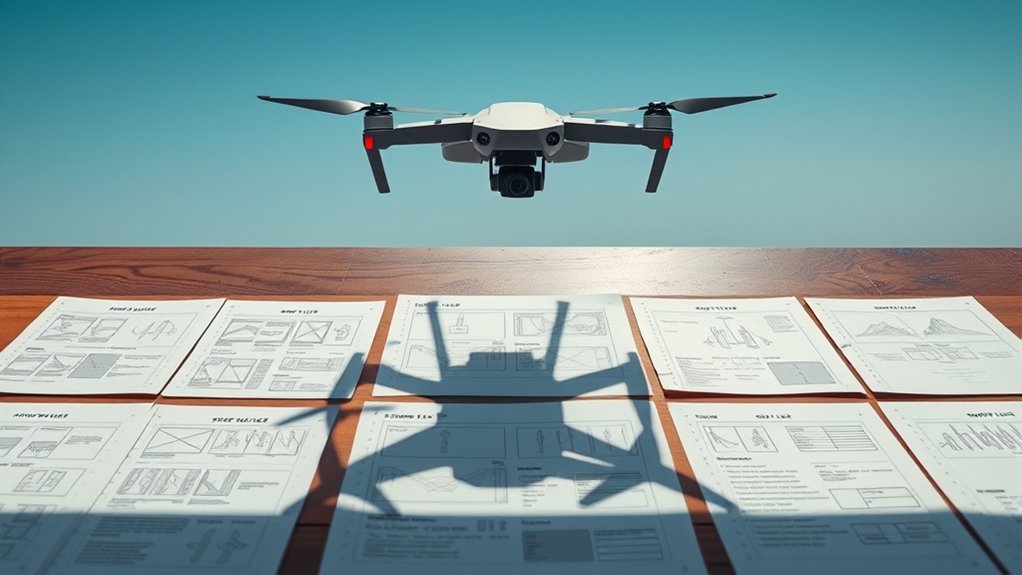
A drone storyboard shows what each aerial shot should communicate before you translate it into flight instructions. It is especially useful when the sequence depends on reveals, subject movement, matching transitions, changing locations, or precise start and end frames.
A storyboard answers “what should the viewer see next?” while the shot list answers “how will the crew capture it?”
For each frame, describe the subject, starting composition, ending composition, aircraft movement, camera movement, subject movement, emotional or narrative goal, and how the shot connects to the previous and next clips.
You can use sketches, screenshots, map views, still photos, or reference frames. The visual does not need to be polished artwork; it only needs to remove ambiguity.
Simple Drone Storyboard Template
| Storyboard Field | What to Record |
| Shot Purpose | What information, emotion, action, or transition the shot must provide. |
| Start Frame | Where the subject sits in frame and what should be visible when recording begins. |
| End Frame | Where the aircraft, camera, and subject should finish before the clip ends. |
| Movement | Aircraft direction, gimbal direction, subject movement, and any timing cue. |
| Safety / Route Note | Obstacles, people, roads, boundaries, airspace concerns, alternate route, or abort point. |
| Edit Transition | How the shot should cut, match, reveal, or transition into the next planned clip. |
Add arrows to sketches or reference frames to show movement direction. Mark each storyboard frame as must-have, optional, or backup so the creative plan and field priorities stay aligned.
Also note equipment that materially affects the shot: lens or camera mode, frame rate, resolution, filter, orientation, spare batteries, monitoring equipment, and any client-specific deliverable requirement.
Review the storyboard with the director, cinematographer, producer, and remote pilot before the shoot. The pilot should be free to replace an impractical path with a safer movement that still accomplishes the same visual goal.
Planning Drone Movements for Optimal Shots
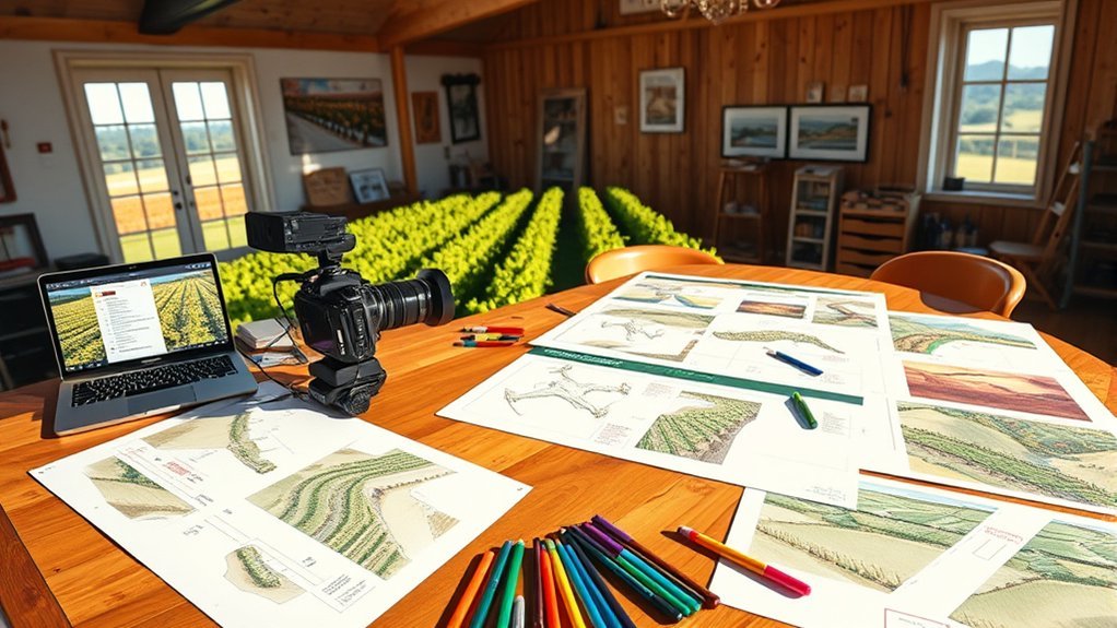
Plan each drone movement around the story purpose first. A simple reveal, push-in, pullback, orbit, tracking move, or top-down pass is easier to repeat when its start point, end point, subject position, and intended clip length are already defined.
Map the flight path before takeoff so the crew can identify obstacles, boundaries, subject timing, light direction, likely battery use, and an alternate plan if the preferred move becomes impractical.
Group shots that use the same launch area, subject and flight corridor into the same battery block where practical. Capture A-priority shots first, then B-priority coverage, and leave optional experimentation until the required sequence is secure.
[Amazon Products Picked for You]

Weight: 0.75 lbs

Simple and easy way to log every RC flight, including date, aircraft, location, duration, and notes
Essential Drone Maneuvers
Use each maneuver for a specific visual job rather than adding movement only to make the clip look more dramatic.
- Reveal shots: Hide part of the subject at the beginning, then uncover it to introduce a place, building, landscape, or event.
- Orbiting: Move around a subject when you need to show both the subject and its surroundings.
- Dolly in/out: Push closer to concentrate attention or pull away to reveal scale and context.
- Top-down movement: Show layout, geometry, traffic flow, choreography, patterns, or spatial relationships.
- Tracking shots: Follow a moving subject while maintaining a planned distance, framing, and safe route.
Keep wind, light direction, battery reserve, people, aircraft activity, obstacles, operating boundaries, and emergency landing options visible in the shot plan.
Pro Tip: Use three priorities: A for shots the edit cannot work without, B for useful supporting coverage, and C for optional or experimental shots. Fly the A group first while conditions and batteries are strongest.
Safety and Regulations
Drone rules depend on country, flight purpose, airspace, aircraft, and location. The planning document should therefore record which rules apply to the specific operation rather than relying on a generic “legal to fly” checkbox.
For U.S. operations, first determine whether the flight is purely recreational or falls under FAA Part 107. The FAA describes Part 107 as the small-UAS framework covering a broad range of work and business uses, while the recreational exception applies to flights conducted only for recreation.
Both ordinary Part 107 operations and recreational flying generally require the aircraft to remain within visual line of sight under the applicable rules. Review the FAA requirements and, for a deeper explanation, see the visual line of sight guide.
Also check registration and Remote ID requirements that apply to the aircraft and operation. The FAA states that drones required to be registered, or that are registered, generally must operate in accordance with the Remote ID rule unless an applicable exception applies.
Before filming, use current FAA airspace information. B4UFLY services provide airspace-awareness information through FAA-approved providers. Operations in controlled airspace may require authorization through LAANC or DroneZone, depending on the operation and location.
Do not treat manufacturer geofencing as legal clearance. A software warning, unlock, or lack of warning does not replace official airspace checks or required authorization. The drone geofencing guide explains that distinction in more detail.
Before each flight, inspect the aircraft and propellers, confirm adequate battery reserve and storage, verify the home point and return-to-home settings where applicable, check weather and visibility, confirm the launch and landing zones, and review crew communication and emergency actions. Avoid installing an untested firmware or app update immediately before an important shoot unless it is required; test any significant update before relying on it in production.
Weather and site conditions can change after the plan is written. High winds, rain, fog, poor visibility, unexpected people or vehicles, wildlife, aircraft activity, new obstacles, or battery problems are valid reasons to delay, modify, or stop a shot.
Tips for Collaborating With Your Drone Team

Give the drone team a shared definition of what must be captured, what can change, and what conditions require the flight to stop. The creative goal and operating limits should be clear before takeoff.
The strongest shot plan tells the crew what the edit needs while giving the remote pilot authority to change or reject an unsafe flight path.
Use these practices during the production briefing:
- Review the shot number, priority, purpose, framing, movement, subject timing, battery block, and safety notes.
- Confirm location access, applicable permissions, airspace information, weather, and emergency landing areas.
- Use storyboards, maps, sample frames, or reference clips when movement or framing is difficult to explain verbally.
- Give the drone operator room to suggest a safer or more repeatable route that achieves the same visual goal.
- Confirm radio procedures, hand signals, or verbal callouts before takeoff.
- Assign one person to approve completed shots so the crew does not waste battery power repeating accepted takes.
- Mark each shot as captured, skipped, optional, or needing another attempt before changing batteries or locations.
This workflow keeps the creative plan, pilot decision-making, and production schedule connected without treating the shot list as more important than real-world flight conditions.
Free Drone Shot List Template You Can Copy
The table below is a usable drone shot list template. Copy the column structure into a spreadsheet, document, or production-management tool, then create one row for every planned shot.
Keep the descriptions short enough to scan outdoors. Use the “Purpose” column to explain why the edit needs the shot, the “Priority” column to establish shoot order, and the “Battery” column to group nearby shots into practical flight blocks.
| Priority | Scene / Shot | Purpose | Framing | Movement | Direction / End Point | Planned Altitude | Clip Length | Orientation | Battery | Safety / Permission Notes | Status |
| A | 1A | Establish the location before the subject enters the sequence | Wide establishing frame | Slow rise and reveal | Finish with main subject centered and location visible | Use the safe, authorized range established for the location | 8–10 seconds | Match final deliverable | Battery 1 | Confirm clear route, people, trees, wires, airspace, property access, VLOS, and landing option | Planned |
Duplicate the sample row for every planned shot. Change the priority, purpose, movement, battery block, safety information, and status for each entry rather than creating one long free-form notes field.
How to Use the Drone Shot List Fields
The template should stay detailed enough to remove ambiguity without becoming difficult to read between flights. These are the fields that carry the most useful information.
| Template Field | What to Include |
| Scene / Shot Number | A simple numbering system so every shot can be referenced during the briefing, flight, review, and edit. |
| Purpose | Why the final edit needs the shot: establish location, follow action, show scale, reveal a feature, create a transition, or close the sequence. |
| Location | Address or coordinates, launch point, landing zone, access route, property contact, and any location-specific restrictions. |
| Framing and Movement | Wide, tight, top-down or other framing plus the aircraft/gimbal movement: orbit, reveal, push-in, pullback, tracking, pan, tilt, rise, descend, or hover. |
| Priority | A for must-have coverage, B for supporting coverage, and C for optional or experimental shots. |
| Battery Block | Group shots that share a launch point, route, lighting condition, or subject so required coverage can be captured efficiently. |
| Safety Notes | Obstacles, people, roads, trees, wires, wildlife, weather, airspace issues, operating boundaries, alternate routes, and emergency landing areas. |
| Shot Status | Planned, captured, accepted, skipped, optional, or needs another attempt. |
Common Mistakes to Avoid
A detailed storyboard can still fail if the planning document ignores how the shoot will actually be flown and edited.
- Writing vague descriptions: “Get a cool aerial shot” does not define the subject, purpose, framing, movement, or end point.
- Giving every shot the same priority: Capture essential coverage before optional experiments consume time or battery reserve.
- Ignoring battery blocks: Group shots that use the same area or route instead of repeatedly repositioning the aircraft.
- Forgetting safety details: Note people, aircraft activity, roads, water, wires, wildlife, obstacles, boundaries, and landing options.
- Confusing airspace with property permission: An FAA authorization does not automatically grant permission to launch from or use a particular property.
- Treating geofencing as legal clearance: Manufacturer software does not replace official airspace information or required authorization.
- Planning too many simultaneous moves: Simple controlled movements are usually easier to repeat and edit.
- Not matching shots to the edit: Plan establishing coverage, action, details, transitions, backup angles, and an ending shot before takeoff.
Frequently Asked Questions
What is the difference between a drone storyboard and a drone shot list?
A storyboard shows the visual sequence: what the viewer should see at the beginning and end of each shot and how one shot connects to the next. A shot list turns that visual plan into production instructions such as priority, framing, aircraft movement, location, planned altitude, clip length, battery block, safety notes, and status.
What should I include in a drone shot list?
Include a shot number, creative purpose, subject, location, framing, movement, direction, planned altitude, clip length, deliverable orientation, priority, battery block, equipment notes, permissions, safety concerns, and completion status.
What format should I use for a drone shot list?
A spreadsheet works well when you need sortable columns, priorities, battery blocks, and status tracking. A document or PDF-style layout can be easier for printing or simple projects. Use the format your crew can read quickly in the field.
Can I customize the template for a specific project?
Yes. Add or remove columns based on the deliverable. Real-estate work may need property features and client approval, event coverage may need timing and crowd notes, and travel filming may need location access, daylight windows, and backup shots.
Do I need Part 107 for paid drone filming in the United States?
Paid or business-related drone filming commonly falls under FAA Part 107 rather than the limited recreational exception. The exact requirements depend on the operation, so confirm the current FAA rules, remote-pilot requirements, aircraft registration, Remote ID status, airspace, and any needed authorization before the shoot.
How do I check airspace before a drone shoot in the United States?
Use current FAA airspace information, including B4UFLY services and approved providers. If the operation is in controlled airspace, determine whether you need authorization through LAANC or DroneZone. Also check Temporary Flight Restrictions and remember that airspace authorization is separate from property or venue permission.
What should I include in a drone storyboard?
Include the shot purpose, start frame, end frame, subject, aircraft movement, camera movement, subject movement, route or safety notes, and the intended transition into the next clip. A sketch, map, screenshot, or reference frame can show the composition.
How detailed should a drone shot list be?
It should be detailed enough that the pilot and director understand the shot without a long explanation, but short enough to scan between flights. One clear row per shot is usually more useful than long paragraphs of production notes.
Sources
- Federal Aviation Administration UAS — general U.S. drone safety and operating information.
- FAA B4UFLY — FAA-approved airspace-awareness service information.
- FAA LAANC — controlled-airspace authorization information and approved service suppliers.
- FAA DroneZone — registration and authorization services.
- FAA Part 107 — operating requirements for many U.S. work and business drone operations.
- FAA Recreational Flyers — current requirements for flights conducted only for recreation.
- FAA Remote ID — Remote ID requirements and compliance information.
Conclusion
A useful drone storyboard defines what the viewer should see, and a useful shot list defines how the crew will capture it. Copy the template above, mark the must-have A-priority shots, group them into practical battery blocks, and add a clear purpose and safety note to every row.
Before takeoff, verify the applicable rules, airspace, property access, weather, aircraft condition, VLOS plan, crew communication, and landing options. Then work through the required shots first and treat every optional move as secondary to safe, compliant flight.
