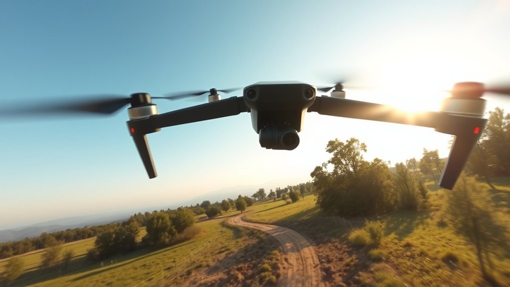
An FPV drone OSD places important flight information directly over the live camera view so the pilot can check the aircraft without looking away from the goggles. Depending on the flight controller and hardware, the display can show battery voltage, current draw, consumed capacity, flight time, flight mode, RC link quality, warnings, GPS speed, altitude, satellite count, home direction, and distance from the takeoff point.
Quick Answer
An FPV OSD shows live telemetry over the drone’s camera feed. The most useful readings are battery or average-cell voltage, flight time, RC link quality, warnings, and—on GPS-equipped drones—satellite count, ground speed, altitude, home direction, and distance to home. The exact fields depend on the flight controller and radio/video system.
Key Takeaways
- Watch warnings, RC link quality, battery condition, and flight time before less urgent OSD data.
- RSSI and link quality usually describe the radio-control link; they should not automatically be treated as video-signal indicators.
- Battery-warning voltages are configurable and voltage can sag under throttle, so one number should not be treated as a universal landing rule.
- GPS speed is generally ground speed, while displayed altitude is not a guarantee of height above changing terrain.
- A clean OSD with a few high-value readings is usually easier to use than a screen crowded with every available field.
How to Read FPV OSD Data
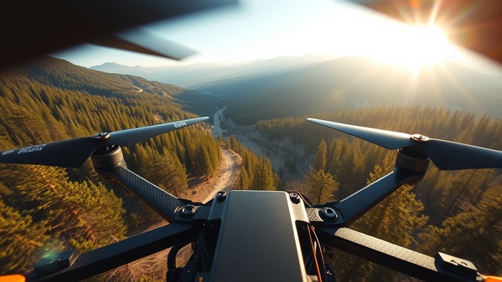
An OSD, or On-Screen Display, turns the FPV camera view into a compact instrument panel. Instead of trying to read every number continuously, it is easier to give each type of data a priority.
Start with active warnings, then check the RC link, battery condition, and flight time. GPS and navigation information becomes more important when flying farther from the launch point or when GPS Rescue is configured.
| OSD item | What it tells you | Why it matters |
|---|---|---|
| Warnings | Battery, failsafe, RSSI/LQ, GPS, or other configured alerts | Usually deserves immediate attention |
| Average cell / pack voltage | Present battery voltage | Helps judge remaining usable energy and voltage sag |
| LQ / RSSI / RSSI dBm | Condition of the supported radio-control link metric | Warns that command-link margin is shrinking |
| Timer | Elapsed powered or armed flight time | Provides a simple reference for battery management |
| Current / mAh used | Instantaneous current and accumulated consumption when properly measured | Adds useful battery information beyond voltage alone |
| GPS data | Satellites, ground speed, altitude, heading, home direction, and distance | Supports navigation and recovery awareness |
Betaflight allows supported OSD elements to be enabled, repositioned, and split across multiple profiles. The best layout is the one that makes urgent information readable without covering the flight path.
Note: Not every FPV system exposes the same telemetry. Choose RSSI, RSSI dBm, link quality, RSNR, GPS, current, and other fields according to the receiver, flight controller, and video system actually installed on the aircraft.
FPV Battery Voltage and Warnings
Battery data is one of the most important parts of an FPV OSD. A pilot may display total pack voltage, average cell voltage, current draw, consumed milliamp-hours, or a combination of those values.
A conventional LiPo cell is normally charged to about 4.20V per cell. That does not mean one fixed voltage can tell you exactly how much flying time remains. Cell condition, temperature, discharge rate, pack size, aircraft weight, and throttle use all change how the voltage behaves.
[Amazon Products Picked for You]
Intelligent flight battery provides up to approximately 20 minutes of flight time

【Built-in Power】: It has an internal battery, allowing it to function as a regular buzzer controlled by a remote or as a loud alarm that sounds off at over 110 dB if the main battery is removed.

Use for 1-8s Lipo/Li-ion/LiMn/Li-Fe battery
Voltage Readings Explained
Average-cell voltage is often easier to interpret than total pack voltage because the same OSD value works across different cell counts. A 4S and a 6S battery have very different total voltages, but their per-cell readings can be compared directly.
- Pack voltage shows the total voltage of all cells in series.
- Average cell voltage divides the measured pack voltage by the detected cell count.
- Current draw shows how many amps the aircraft is using at that moment when a calibrated current sensor is available.
- mAh consumed estimates how much battery capacity has been used during the flight when current sensing is properly configured.
Current Betaflight settings make battery thresholds configurable. Its documentation lists warning and critical cell-voltage settings rather than declaring one universal safe landing voltage. The appropriate values should match the battery type, its manufacturer guidance, and the behavior of the pack in that aircraft.
Low Voltage Warnings
Betaflight can trigger OSD and other battery alerts when voltage passes configured thresholds. Current Betaflight documentation lists a default warning threshold of 3.50V per cell and a critical threshold of 3.30V per cell, but these are configurable flight-controller settings rather than universal battery limits.
Voltage also sags under load. A hard throttle burst may pull the displayed voltage down temporarily, after which it can recover when the load falls. That is why experienced battery management considers voltage behavior, consumed capacity, flight time, and the individual battery rather than reacting to one brief number alone.
Warning: Do not copy another pilot’s voltage thresholds without considering your battery chemistry and manufacturer specifications. Standard LiPo, LiHV, LiFe, and other battery types do not share identical charge and discharge limits, and damaged or swollen packs should not be flown.
FPV Signal Strength and Link Quality
RSSI, RSSI dBm, and link quality need careful interpretation because the control radio link and the FPV video link are separate systems on many drones.
In Betaflight, RSSI and LQ commonly describe the receiver or RC control link. For CRSF systems, Betaflight defines LQ as a ratio related to successfully transmitted and received packets and recommends it as a useful signal indicator for supported Crossfire hardware.
- RSSI is a received-signal-strength indicator, although its scale depends on the radio system.
- RSSI dBm expresses received signal strength in dBm when supported.
- LQ reports a link-quality metric supplied by compatible receiver protocols.
- RSNR or other metrics may be available on systems that support them.
These values should not automatically be described as the quality of the picture reaching the goggles. A drone can have a healthy RC control link while its video becomes noisy or drops out, or the opposite can occur. Digital and analog video systems may provide their own video-specific indicators outside the Betaflight RC-link fields.
When a supported RC metric begins deteriorating, the pilot should treat the trend seriously and avoid assuming that a still-visible video picture means the command link has unlimited margin.
A clear video picture and a healthy control link are related to safe FPV flying, but they are not the same measurement.
[Amazon Products Picked for You]

For any 5.8Ghz FPV Transmitters: Built-in super sensitiveness 5.8GHz 40ch receiver, you can get a real-time video return in very low time delay.

For any 5.8Ghz FPV Transmitters: Built-in super sensitiveness 5.8GHz 40ch receiver, you can get a real-time video return in very low time delay.

Perfect size 4.3 inch screen monitor with 800*480 high brightness IPS.
Flight Modes, Horizon, and Timers
The OSD can show the active flight mode so the pilot knows how the flight controller will respond to stick input.
In current Betaflight terminology, the default Rate mode, commonly called Acro, does not automatically level the aircraft when the roll or pitch sticks return to center. Angle Mode is an auto-level mode in which stick position commands an aircraft angle. Horizon Mode combines self-level behavior near centered sticks with more rate-like behavior as stick deflection and aircraft angle increase.
An artificial horizon, when enabled on a compatible setup, is a visual attitude aid and should not be confused with Horizon flight mode. One is an OSD display element; the other changes flight-controller behavior.
Timers provide a different kind of information. Betaflight can configure timer sources and timer alarms, allowing the OSD to warn when a selected time threshold is reached. A timer is useful for recognizing the typical flight duration of a known battery, but it should support—not replace—live battery readings.
FPV GPS, Speed, Altitude, and Home
A GPS-equipped FPV drone can add satellite count, position, ground speed, altitude, heading, distance to home, and related navigation information to the OSD. These fields become especially useful when GPS Rescue is configured.
GPS values are estimates rather than perfect measurements. Trees, buildings, antenna placement, interference, satellite geometry, and a weak fix can reduce accuracy, so a number on the OSD should always be interpreted with its limitations in mind.
GPS Fix And Home
A 3D GPS fix is required for several navigation functions. Betaflight can show satellite count, GPS altitude, GPS speed, heading, coordinates, distance to home, and positional dilution of precision information.
- A satellite count shows how many satellites are currently being used or tracked by the GPS system.
- A 3D fix indicates that the receiver has enough positioning information for three-dimensional navigation.
- The home point is established according to Betaflight’s home-point configuration and arming behavior.
- Home direction and distance should be checked after takeoff before relying on them farther away.
For current Betaflight GPS Rescue guidance, the project recommends confirming a proper home lock before takeoff. Its documentation states that at least eight satellites are required by the default GPS Rescue configuration and that ten are preferable, while also recommending that the pilot verify that speed and altitude readings are stable before relying on Rescue.
GPS Rescue is a recovery feature, not a reason to ignore normal preflight checks. The current system can climb, turn toward home, fly back, descend, and under supported conditions land and disarm, but GPS errors, configuration mistakes, wind, obstacles, or sensor problems can still cause a failed recovery.
Pro Tip: Before a GPS-dependent flight, confirm a stable fix, sensible speed and altitude values, a home-distance indication after arming, and a home arrow that points toward the launch point when you fly a short distance away.
Speed Readout Basics
On an ordinary GPS-equipped FPV quad, the OSD’s GPS speed value is best understood as ground speed: movement across the Earth’s surface calculated from GPS data.
That is different from true airspeed, which measures movement through the surrounding air and requires appropriate airspeed sensing or estimation. Wind can therefore make ground speed and airspeed substantially different.
Betaflight can display speed in different units according to the selected OSD unit system. The number is useful for comparing cruise speed, return performance, and movement over the ground, but it should not be treated as a direct measurement of airflow over the aircraft.
Altitude Display Limits
The altitude display needs similar caution. Depending on the build and configuration, altitude information can come from GPS, a barometer, or the flight controller’s altitude estimation. The reference may also relate to the takeoff or home point.
This does not mean the OSD continuously knows the drone’s exact clearance above the terrain below it. If a drone launches from a field and then flies toward rising ground, an altitude referenced to the launch point does not automatically subtract the height of the hill.
- Use displayed altitude as a flight reference, not as terrain-following radar.
- Allow margin for GPS and sensor error.
- Account for trees, buildings, ridges, towers, and other obstacles independently.
- Configure any GPS Rescue return altitude with the local environment in mind.
Customizing Your FPV OSD Layout
A useful FPV OSD layout puts urgent information near the edges of the view while leaving the center clear enough to fly through gates, branches, buildings, terrain, or other visual references.
Betaflight’s OSD interface allows supported elements to be enabled and repositioned. Multiple OSD profiles can also be used so one aircraft can have, for example, a minimal freestyle layout and a more detailed GPS-oriented layout.
A practical minimalist layout often includes:
- Average cell voltage or battery voltage
- Warnings
- A supported RC-link metric such as LQ, RSSI dBm, RSSI, or RSNR
- Flight timer
- Flight mode
- Current or mAh consumed when the current sensor is calibrated
- GPS satellites, home direction, and distance when GPS is fitted
- Ground speed and altitude when those values genuinely help the type of flying being done
More information is not automatically better. If ten values have to be searched for during a fast maneuver, the OSD is no longer doing its job efficiently.
[Amazon Products Picked for You]

On-Screen Display Ardupilot Mega MinimOSD Rev. 1.1

【For RC8X Transmitter FPV Display】- Radiolink 5.8G 48CH Wireless Image Transmission OSD Camera, work with Radiolink 5.8G 48CH Wireless Image Transmission Receiver, Easily realize the RC8X FPV Function, Dual Use on One Screen.

This FPV monitor is 800*480 high-definition screen, 16:9 display ratio, bring the best image display effect.
What an FPV OSD Cannot Tell You
Even a well-configured OSD has limits. It displays data produced by sensors, receivers, firmware, and telemetry systems; if those inputs are wrong, delayed, poorly calibrated, or unavailable, the displayed value can also be wrong.
- An OSD cannot guarantee that a GPS home point is accurate.
- Displayed altitude does not guarantee obstacle or terrain clearance.
- A good RC-link reading does not guarantee a perfect video link.
- A clear video feed does not guarantee a strong RC-control link.
- GPS Rescue does not eliminate the possibility of a crash or flyaway.
- An OSD does not determine whether a flight is legal in a particular jurisdiction.
Preflight checks, properly configured failsafe behavior, battery inspection, radio-system knowledge, and compliance with local drone rules remain necessary even when the screen looks normal.
Frequently Asked Questions
What Is the 1:1 Rule for Drones?
In current EASA guidance, the 1:1 rule refers to separation from uninvolved people in applicable operations, not to matching vertical and forward movement. As a reference in the A2 context, the drone’s lateral distance from an uninvolved person should be at least equal to its flight height, while the other applicable minimum-distance requirements still apply. Drone rules differ by jurisdiction.
Is Long Range FPV Illegal?
It depends on the country and the authorization under which the flight is conducted. In the United States, ordinary recreational operations require the drone to remain within visual line of sight of the operator or a co-located visual observer in direct communication with the operator. Operations beyond visual line of sight can require additional FAA authorization, such as an applicable Part 107 waiver. A radio or video system being capable of long range does not by itself make a long-range flight legal.
Can FAA Know You Flew a DJI Drone?
Potentially, but Remote ID should not be described as an automatic cloud log of every DJI flight sent directly to the FAA. Standard Remote ID drones broadcast identification and location information by radio while operating, and that broadcast can be received by compatible equipment within range. Registration records, Remote ID information, operator records, or other evidence may also become relevant during an investigation.
What Does WTFPV Mean?
WTFPV is not a universal Betaflight telemetry acronym. On some FPV product listings, including GEPRC models, “WTFPV” identifies a version supplied without the installed FPV video transmitter and camera, allowing the buyer to add a preferred video system. Because manufacturers can use product labels differently, check the specifications for the exact model before buying.
What Should I Display on My FPV OSD?
For most builds, start with warnings, average cell or battery voltage, a supported RC-link metric, and a timer. Add current or mAh consumed if the sensor is calibrated. On GPS-equipped aircraft, satellite count, home direction, distance to home, ground speed, and altitude can be useful. Remove fields that do not affect decisions during the flight.
Is RSSI the Same as Link Quality?
No. RSSI represents received signal strength according to the radio system’s supported scale, while link quality describes another measure of connection performance, often related to successfully received packets. Modern receiver systems may also expose RSSI dBm, RSNR, or other metrics. Use the indicator recommended for your specific receiver protocol.
Conclusion
An FPV OSD is most useful when it converts raw telemetry into a few clear decisions: Is the battery healthy enough to continue? Is the RC link still reliable? How long has the aircraft been flying? Does the GPS have a trustworthy fix, and where is home? Keeping those high-value readings visible makes the display easier to interpret while reducing distractions.
The numbers still need context. Voltage can sag, link metrics depend on the receiver system, GPS readings have accuracy limits, and altitude is not a terrain-clearance sensor. A clean layout, correct configuration, tested failsafe behavior, and a good understanding of each field make the FPV OSD far more useful than simply filling the screen with telemetry.
Sources
- Betaflight Battery Monitoring — battery monitoring, warning thresholds, and configurable voltage settings.
- Betaflight RSSI Documentation — RSSI and CRSF link-quality behavior.
- Betaflight GPS Rescue — home lock, satellite guidance, rescue behavior, altitude, and preflight checks.
- FAA Recreational Flyers — U.S. visual-line-of-sight and visual-observer requirements.
- FAA Remote Identification of Drones — U.S. Remote ID requirements and identification framework.
- EASA Drone FAQ — European drone operating categories and the 1:1 separation guidance.
