Last updated: June 17, 2026
WebODM and OpenDroneMap can both help turn drone photos into usable mapping outputs, but they are not the same kind of tool. WebODM is usually the easier starting point for users who want a browser-based interface, while OpenDroneMap is better suited to technical users who want command-line control, scripting, and deeper workflow customization.
This guide compares the strongest open-source drone mapping software options for creating orthomosaics, elevation models, point clouds, and 3D models from aerial imagery. It is written for drone pilots, surveyors, GIS users, agriculture teams, construction professionals, and environmental mapping users who want capable mapping software without committing immediately to expensive proprietary platforms.
Quick Verdict: WebODM vs OpenDroneMap
| Choose This | Best For | Main Advantage | Main Limitation |
|---|---|---|---|
| WebODM | Beginners, small teams, and users who prefer a visual interface | Easier project management and browser-based workflow | Still requires enough local computing power for larger datasets |
| OpenDroneMap / ODM | Technical users, developers, GIS workflows, and repeatable batch processing | More control through command-line processing and options | Steeper learning curve for non-technical users |
Download WebODM from the official site
Read the OpenDroneMap documentation
Key Features of Open-Source Drone Mapping Software
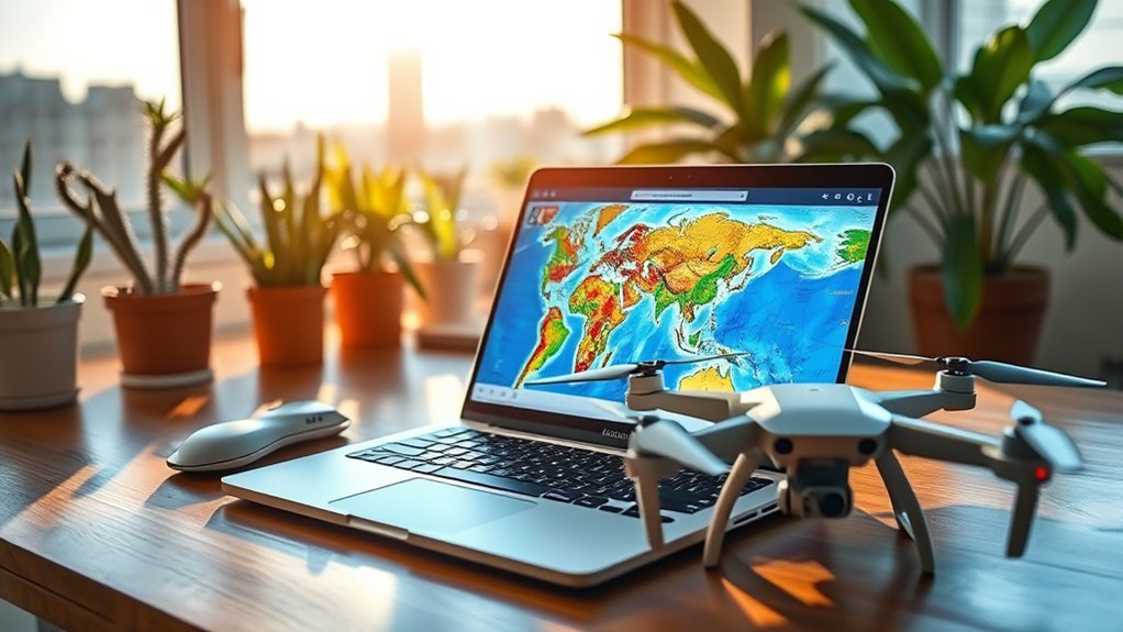
Open-source drone mapping software is useful when you want more control over your mapping workflow and want to avoid locking every project into a paid desktop or cloud platform. The best tools can process aerial images into outputs such as georeferenced maps, point clouds, elevation models, and textured 3D models.
The biggest advantage is flexibility. You can process data locally, adjust settings for different projects, and build repeatable workflows for surveying, agriculture, construction, environmental monitoring, and research. The tradeoff is that performance depends heavily on your computer hardware, image quality, image overlap, camera calibration, and ground control workflow.
- Orthomosaic creation: Useful for map-like aerial outputs that can be viewed in GIS tools.
- Point cloud generation: Useful for elevation, structure, volume, and 3D analysis.
- Digital surface and terrain models: Useful for topography and site analysis.
- Local processing: Useful when you want more control over your data and processing environment.
- Community development: Useful for documentation, troubleshooting, and workflow ideas.
Top Open-Source Options for Drone Mapping
WebODM
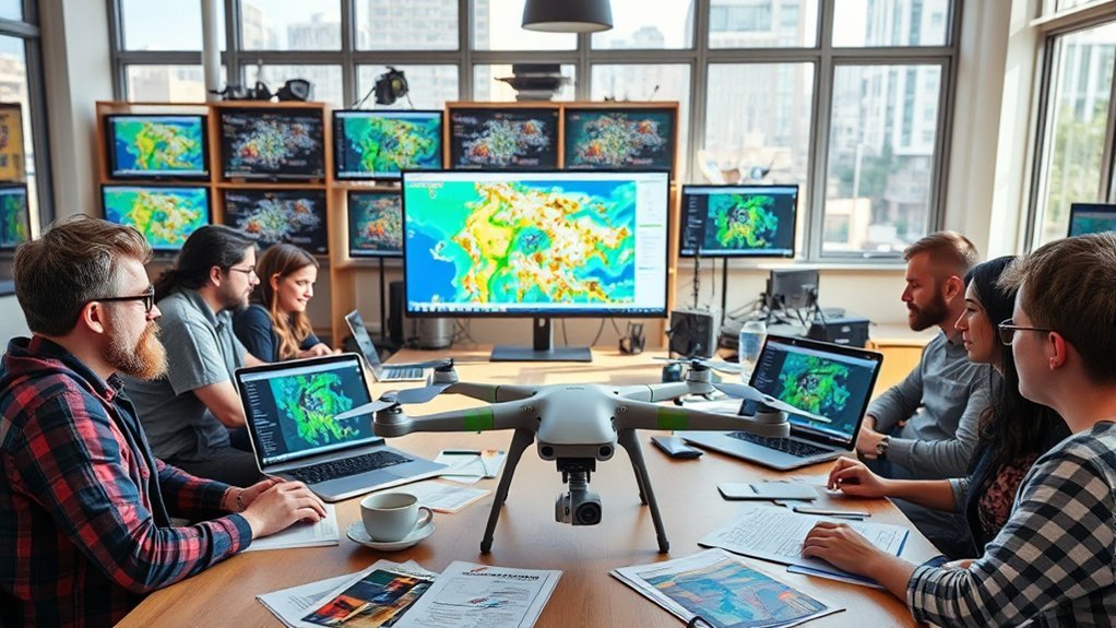
WebODM is the better first choice for many users because it provides a more approachable interface for processing drone imagery. It is designed for creating georeferenced maps, point clouds, elevation models, and textured 3D models from aerial images.
Choose WebODM if you want a practical open-source mapping workflow without starting entirely from command-line tools. It is especially useful for small teams, consultants, educators, and drone pilots who need to process projects repeatedly but still want a visual dashboard.
Best for: Beginners to intermediate users who want open-source drone mapping with a friendlier interface.
Who should skip it: Users with very large datasets and limited computer hardware should check system requirements before relying on local processing.
OpenDroneMap / ODM
OpenDroneMap, often shortened to ODM, is the better fit for technical users who want a command-line toolkit for generating maps, point clouds, 3D models, and elevation outputs from drone imagery.
ODM is useful when you need repeatable processing, scripting, automation, or deeper control over processing parameters. The learning curve is higher than WebODM, but the extra control can be valuable for advanced GIS users, researchers, and developers.
Best for: Technical users who are comfortable with command-line workflows and want more processing control.
Who should skip it: Non-technical users who need a simple visual workflow may prefer WebODM.
Comparing Performance and Quality
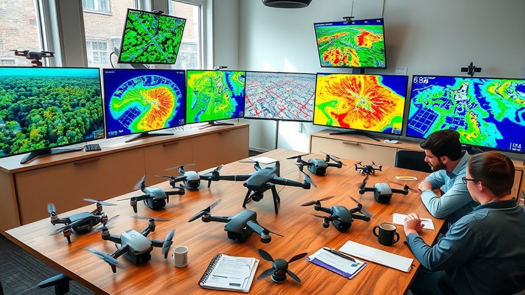
Both WebODM and OpenDroneMap can produce useful mapping outputs, but final quality depends on more than the software name. Flight planning, image overlap, camera quality, lighting conditions, ground control points, processing settings, and available hardware all affect the final map or model.
| Feature | WebODM | OpenDroneMap / ODM | Best Fit |
|---|---|---|---|
| Ease of use | More beginner-friendly interface | More technical command-line workflow | WebODM |
| Customization | Good for common mapping workflows | Stronger for scripting and advanced options | ODM |
| Outputs | Maps, point clouds, elevation models, 3D models | Maps, point clouds, DEMs, 3D models | Tie |
| Learning curve | Lower | Higher | WebODM |
| Automation potential | Useful for managed workflows | Better for scripted workflows | ODM |
Ease of Use and User Community Support
Ease of use is one of the biggest differences between these tools. WebODM is generally the better option when you want a visual interface and a smoother path from image upload to map output. ODM is better when you want to control processing through commands and parameters.
Both tools benefit from active open-source documentation and community support, but you should expect some troubleshooting. Drone mapping is hardware-intensive, and errors often come from insufficient RAM, storage limits, poor image overlap, incorrect camera metadata, or datasets that are too large for the machine.
Cost-Effectiveness and Budget Considerations
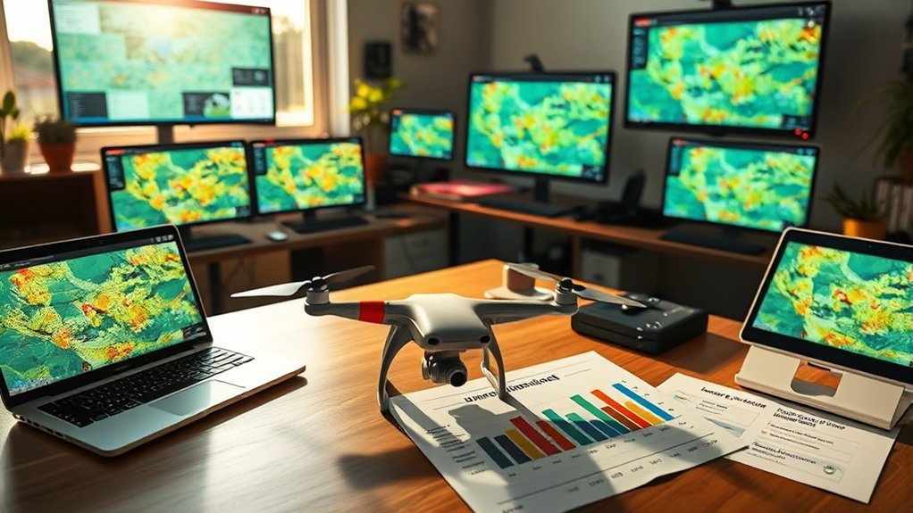
Open-source drone mapping software can reduce licensing costs, but it is not automatically free in every practical sense. You may still need a capable computer, enough RAM, enough storage, backup space, and time to learn the workflow.
WebODM is available through official download options, while OpenDroneMap can be used by technical users who are comfortable with installation and command-line workflows. Before choosing either tool, confirm the current installation method, hardware requirements, and support path from the official documentation.
Free Software Options
WebODM and OpenDroneMap are strong options for users who want open-source drone mapping without committing immediately to proprietary software. They are especially attractive for learning photogrammetry, running repeatable local projects, or experimenting with mapping workflows.
However, free software still has a cost in setup time, processing time, and hardware. Large datasets may require more memory, more storage, and more patience than casual users expect.
Long-Term Savings Analysis
The long-term value of open-source mapping software depends on how often you process data. If you map frequently, avoiding recurring license fees can be meaningful. If you only process a few projects per year, setup time and hardware upgrades may matter more than software cost.
For professional work, compare the total cost of ownership: software, hardware, training, processing time, support, data storage, quality control, and the cost of reprocessing failed jobs.
Before You Install: What to Check
Before installing WebODM or OpenDroneMap, check these items:
- Computer resources: Confirm RAM, CPU, storage, and operating-system requirements from the current official documentation.
- Dataset size: Larger image sets need more memory and processing time.
- Image quality: Blurry images, poor overlap, reflective surfaces, and inconsistent lighting can reduce output quality.
- Ground control: For survey-grade work, plan ground control points and accuracy checks before flying.
- Output needs: Confirm whether you need orthomosaics, DEMs, DSMs, LAS point clouds, textured meshes, or GIS-ready files.
Practical Applications Across Different Industries
Open-source drone mapping software can support several industries when the workflow is planned carefully. The best use case depends on the required accuracy, output format, and level of documentation needed for the job.
| Industry | Applications | Benefits |
|---|---|---|
| Agriculture | Crop monitoring, plant health mapping, field scouting | Better visibility into field conditions |
| Environmental | Land-use monitoring, ecosystem analysis, erosion checks | Repeatable visual records over time |
| Construction | Progress mapping, site documentation, stockpile estimates | Improved project visibility and documentation |
| Surveying and GIS | Orthomosaics, point clouds, elevation models | Flexible outputs for spatial analysis |
Frequently Asked Questions
Is WebODM the same as OpenDroneMap?
No. WebODM is a user-facing application for drone image processing, while OpenDroneMap / ODM is a more technical toolkit often used through command-line workflows. They are closely related in purpose, but they should not be described as identical tools.
Which is easier for beginners: WebODM or OpenDroneMap?
WebODM is usually easier for beginners because it provides a visual workflow. OpenDroneMap is better for users who are comfortable with command-line tools, scripting, and processing parameters.
Can I Use Open-Source Drone Mapping Software on Multiple Operating Systems?
Yes, but installation details vary by tool and operating system. Always check the current official documentation before installing because supported methods, installers, and Docker requirements can change.
Is Training Available for Beginners Using These Software Options?
Yes. Beginners can use official documentation, community forums, tutorials, and sample datasets to learn the workflow. Start with a small image set before processing a large commercial project.
How Often Are Updates Released for Open-Source Drone Mapping Software?
Update frequency varies by project and release cycle. Check the official project documentation or repository before publishing version-specific claims.
Are There Any Limitations on Map Size or Resolution?
Yes. Practical limits depend on your computer hardware, image count, image resolution, processing settings, storage space, and the complexity of the area being mapped.
Can I Integrate These Tools With Other Software or Hardware?
Yes, but the best integration path depends on the workflow. Many users export outputs such as GeoTIFFs, point clouds, elevation models, or textured meshes for use in GIS, CAD, or 3D tools.
Conclusion
WebODM is the better starting point if you want open-source drone mapping software with a friendlier interface. OpenDroneMap is the better fit if you want more technical control, command-line processing, and automation potential.
For most beginners and small teams, start with WebODM and learn the basics of image overlap, ground control, and output review. For advanced users, ODM gives more room to build repeatable, customized workflows.