Global Mapper Orthomosaic From Drone Imagery: What to Expect
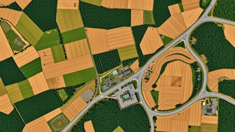
Keen to know what a Global Mapper orthomosaic from drone imagery really delivers, and what surprises affect accuracy, seams, and measurements?
Drone reviews and flying guides for beginners and professionals: choosing a drone, camera settings and ND filters, FPV basics, geofencing and legal flying, troubleshooting, and mapping and survey workflows.
Keen to know what a Global Mapper orthomosaic from drone imagery really delivers, and what surprises affect accuracy, seams, and measurements?
Not every drone survives saltwater, and before you buy, you’ll want to know which features matter most when the ocean strikes.
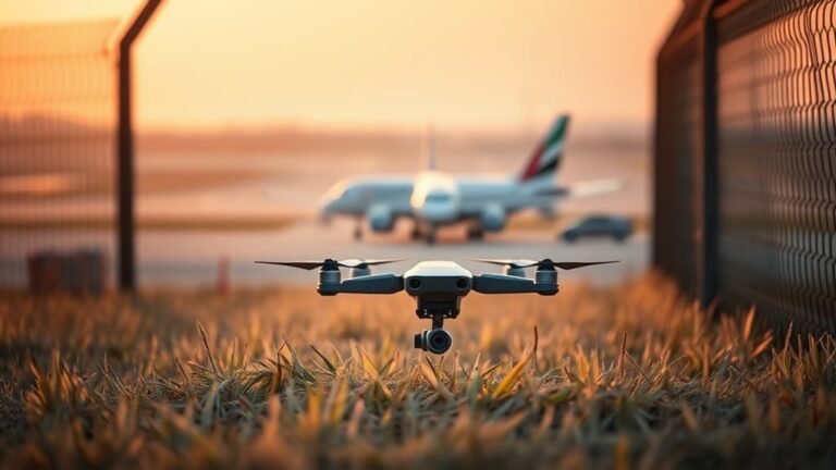
Airport geofencing can suddenly force a drone to land near restricted airspace, but the real reason this happens may surprise you.
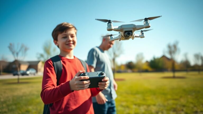
What makes a drone right for a teenager, and which DJI Neo fits best, may surprise you.
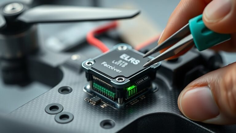
Can your ELRS receiver blinking green heartbeat be a simple power or binding issue, or a deeper firmware problem?
Learn the safest, smartest way to test a drone’s true range and discover what really limits it before your next flight.
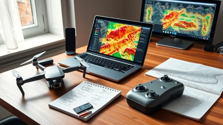
What essential insights do you need before purchasing the QGIS Drone Plugin? Discover key features and tips to maximize your investment.
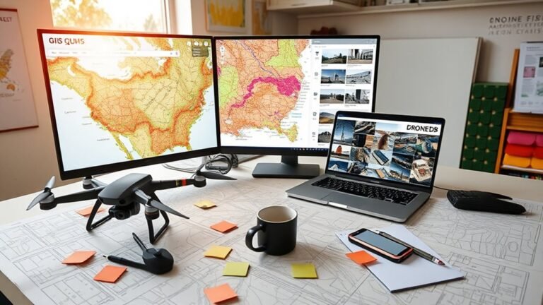
Great QGIS integration starts with DroneDB’s geospatial strengths—discover what really matters before you buy and avoid costly surprises.
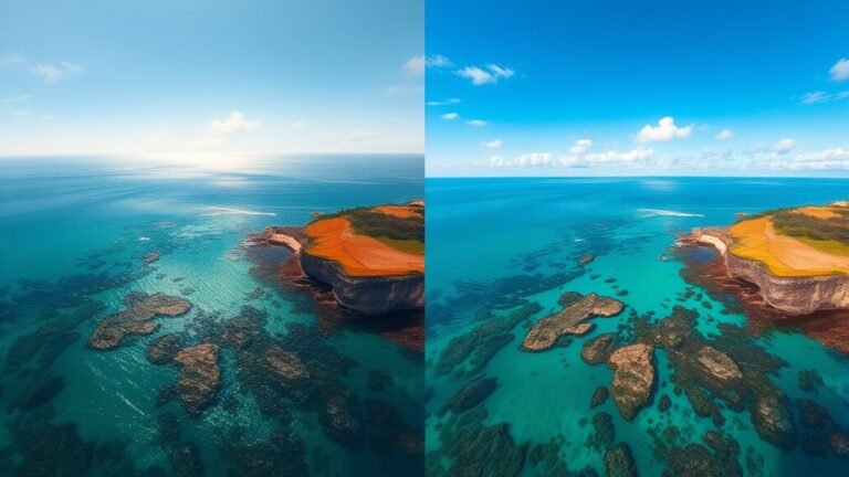
I’ll show why Polarizing ND filters on the Mavic 2 Pro can reveal details standard NDs miss, especially when glare changes everything.
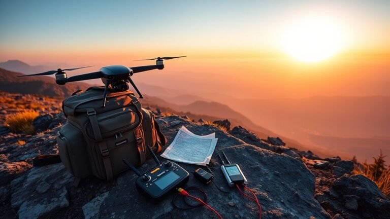
Seeing the real long-distance FPV trade-offs behind DJI, Walksnail, HDZero, and control links may change which system you trust most.