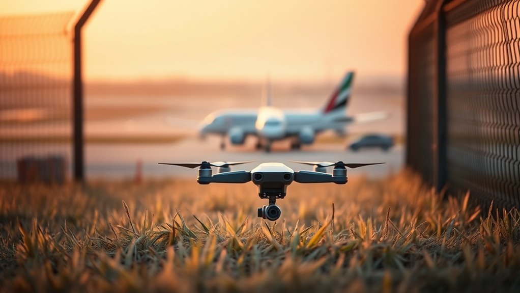
A drone near an airport geofence may suddenly initiate a remote landing sequence when the system detects restricted airspace. DJI’s FlySafe logic has historically limited takeoff, blocked entry, or forced descent depending on location and firmware rules. The behavior can look abrupt, but it reflects automated airspace compliance. What changed in these controls, and how current geofence and Remote ID systems interact, is where the real issue begins.
Why Did DJI Geofence My Drone?
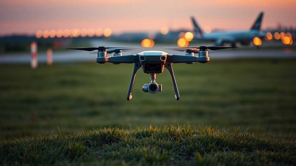
DJI geofenced drones to establish virtual boundaries around restricted airspace, automatically blocking takeoff or entry into sensitive locations such as airports and military sites.
The drone system was designed as geofencing: a software layer enforcing airspace compliance by checking position against mapped zones. In its earlier form, it used hard stops that prevented movement into protected areas; this reduced accidental incursions but also limited pilot autonomy.
Geofencing works as a software boundary, blocking drones from restricted zones but also constraining pilot freedom.
DJI later shifted to an Enhanced Warning Zone model, which issues alerts rather than absolute lockouts in many cases. That change reflects regulatory pressure and a preference for pilot accountability over manufacturer control.
Under this model, the operator must verify lawful flight before launch and during transit. Remote ID adds identification and traceability, but it does not itself prevent entry into restricted airspace.
For pilots seeking freedom, the practical effect is clear: compliance now rests primarily with the person at the controls, not the drone.
What Happened at the Airport Geofence?
At the airport geofence, a warning alert is typically triggered as the drone enters a restricted proximity boundary.
Control functions may then be limited, reducing maneuverability and forcing an automatic return-to-home or landing response.
These conditions raise immediate safety and compliance concerns, especially when airspace restrictions apply despite prior authorization.
Geofence Warning Triggered
A geofence warning is triggered when a drone enters or nears the protected airspace surrounding an airport, signaling that the aircraft is approaching a regulated no-fly zone. The geofence establishes a perimeter, often 5 to 10 miles wide, that marks restricted airspace under local rules.
For drone operators, the alert is a technical boundary marker, not a suggestion; it exists to preserve safety and enforce compliance. Once activated, the warning indicates that continued flight may place the aircraft within controlled airspace subject to FAA requirements.
In practice, the system functions as a real-time restraint on unauthorized movement, reminding pilots that aerial freedom depends on disciplined respect for public airspace. Failure to heed the warning can expose the operator to legal consequences and immediate intervention by airport security or law enforcement.
Control Limitations Experienced
The geofence warning did more than signal proximity to restricted airspace; it immediately constrained the aircraft’s behavior at the airport boundary. For drone pilots, the control limitations were explicit:
- ascent was blocked;
- lateral escape options narrowed;
- yaw and descend remained available;
- return to the takeoff point became impossible.
This geofence acted as a safety net, but one that overrode normal authority once airspace restrictions were detected.
Prior successful flights had not indicated such an abrupt response, so the system’s activation was unexpected. The aircraft could not be redirected to complete the intended mission, and the pilot was compelled to exit the area.
The event showed how control limitations near airports can transform routine navigation into a constrained, highly managed flight state.
Safety and Compliance Concerns
When the drone reached the airport geofence, the system did not merely issue a warning; it imposed an operational constraint that could force a warning response or an automatic landing.
In DJI systems, this geofencing logic is intended to protect airport airspace, yet it can also create safety risk if the pilot cannot redirect the aircraft before control is reduced. Forced descents near restricted zones may place the drone in unsuitable terrain, exposing people and property to danger.
FAA compliance remains central, because unauthorized incursions can trigger fines or loss of flying privileges.
Enhanced Warning Zones shift responsibility back to the operator, demanding disciplined pre-flight checks, situational awareness, and respect for airspace boundaries.
Safety depends on informed restraint, not blind automation.
How DJI Geofencing Used to Stop Flights?
DJI geofencing used GPS-based virtual boundaries to restrict drone operations near sensitive airspace, including airports, by referencing a database of no-fly zones and automatically enforcing limits at the boundary or at takeoff. The geofencing system relied on detection technology, not real-time drone detection, to impose flight restrictions and support airspace compliance with minimal pilot discretion.
- It identified restricted coordinates before launch.
- It blocked arming in banned zones.
- It halted movement at geofence edges.
- It reduced misuse in sensitive corridors.
This architecture functioned as a hard-control layer: the aircraft was stopped from entering protected airspace, and departure could be refused entirely when coordinates matched an exclusion zone.
For operators seeking liberation through lawful flight, the design offered clarity, but also imposed rigid control. The system’s purpose was safety, yet legal responsibility for compliance remained with the pilot, making verification essential before every flight.
What Changed in DJI’s FlySafe System?
DJI’s FlySafe system shifted from hard geofencing to a warning-based model that notifies pilots of nearby restricted airspace without automatically blocking flight.
Under Enhanced Warning Zones, compliance responsibility now rests primarily with the operator, while DJI’s role is limited to issuing on-screen alerts.
This change increases real-time pilot accountability but also reduces built-in enforcement against unauthorized drone activity near sensitive areas.
FlySafe Warning Model
The FlySafe system underwent a notable shift from hard geofencing to a warning-based model, changing how drones respond to restricted airspace. In this FlySafe warning model, aircraft no longer stop at software-defined boundaries; instead, they present real-time visibility into nearby restricted areas and allow launch. This reallocation is technically significant:
- Alerts replace automated restrictions.
- Airspace compliance is signaled, not enforced.
- Prior accesses are often unnecessary.
- Pilot responsibility becomes the operative control point.
The framework aligns with FAA Remote ID requirements and reduces DJI’s enforcement role. For operators seeking freer movement, the system offers latitude, yet it also weakens automatic safety barriers.
The result is a more permissive architecture that depends on informed judgment, while increasing the possibility of unintended incursions into protected airspace.
Pilot Responsibility Shift
With FlySafe’s move from hard geofencing to Enhanced Warning Zones, operational responsibility now rests primarily with the pilot rather than the manufacturer. DJI’s removing geofencing converts no-fly enforcement into advisory alerts, so airspace compliance becomes an active duty under drone laws. The operator must verify restrictions before launch, because automated barriers no longer prevent incursions into sensitive areas.
| Control | Old Model | New Model |
|---|---|---|
| Access | Blocked | Warned |
| Enforcement | System | Pilot |
| Liability | Shared | Operator |
| Verification | Passive | Active |
| Public Safety | Automated | Conditional |
This shift supports real-time accountability, but it also increases exposure to error. For liberated operations, disciplined preflight checks, such as NATS maps, are now essential to preserve Public Safety and lawful flight.
Does FlySafe Still Protect Airspace?
FlySafe now functions primarily as an advisory layer rather than an enforcement mechanism, which materially changes how airspace protection is handled near airports. Enhanced Warning Zones signal restrictions, yet they no longer impose hard stops, so airspace compliance depends on pilot discipline and pre-flight verification.
- On-screen alerts warn of no-fly areas.
- Flights may still proceed unless the operator self-restrains.
- Security teams lose an embedded barrier against unauthorized drone activity.
- Responsibility shifts to the operator, not the platform.
This model preserves informational freedom, but it weakens automated containment around sensitive sites. The result is a system that informs without preventing, leaving regulatory adherence external to the aircraft.
For airport-adjacent environments, that means protection is conditional, not guaranteed. Surveillance and policy remain important, yet the technology itself no longer enforces the boundary.
How to Avoid Geofence Surprises
To avoid geofence surprises, operators should verify the live status of no-fly zones and restricted airspace before every flight, using reliable mapping tools such as the FAA’s B4UFLY app and reviewing current NOTAMs for temporary restrictions.
This baseline check supports airspace compliance and reduces accidental incursions near airports or other sensitive sites. They should then inspect the drone model’s specific DJI geofencing logic, because manufacturer rules differ and can alter takeoff, altitude, or landing behavior.
Local conditions also matter: wildfires, stadium events, and emergency closures can shift boundaries without warning. Detection tools in planning workflows help identify these changes before launch.
Local conditions can shift no-fly boundaries without warning, so detection tools should flag changes before launch.
Training resources and pilot education programs further improve judgment, allowing operators to interpret restrictions with precision rather than dependence. A disciplined pre-flight routine preserves operational freedom by preventing avoidable lockouts, false assumptions, and last-minute remote landings caused by hidden geospatial constraints.
Why Remote ID Matters More Now?
Remote ID has become a central control layer in drone airspace management, functioning as a digital license plate that broadcasts operator ID, drone serial number, position, and altitude in real time.
That visibility now matters more because geofence removal shifts responsibility onto pilots and regulators, making airspace compliance measurable rather than assumed.
- It exposes unauthorized drone activity before it escalates.
- It gives enforcement agencies actionable data, not speculation.
- It improves protection for critical infrastructure and restricted zones.
- It supports fast response when a drone is near airports.
Under FAA rules, Remote ID is mandatory for most U.S. operations, and its role becomes decisive as incursions rise.
For communities seeking liberated access to the sky, the system is not merely surveillance; it is a technical safeguard that preserves lawful use while making violations traceable, attributable, and enforceable.
Frequently Asked Questions
How Close Can a Drone Fly Near an Airport?
A drone generally should not fly within 5 miles of an airport unless FAA authorization exists. Actual limits depend on airspace classification, since Class B, C, D, and E zones impose different flight restrictions.
Drone regulations require LAANC approval or a waiver in controlled airspace to preserve airport safety. Operators should verify NOTAMs and sectional charts.
Public awareness remains essential, because lawful access and liberated use depend on precise, situational compliance.
Why Did DJI Remove Geofencing?
DJI removed geofencing to align its aircraft with Remote ID requirements and shift responsibility to pilots.
The change reflects technology advancements, reduces automated restrictions, and improves user experiences by allowing more flexible operation.
It also exposes geofencing implications: Drone safety now depends more on operator judgment, while Regulatory challenges move into post-flight enforcement and airspace governance.
In a liberation-oriented framework, control is transferred from firmware limits to accountable human decision-making.
Can FAA Know You Flew a DJI Drone?
Yes, the FAA can often know a DJI drone was flown through drone regulations, Remote ID broadcasts, and registration records, supporting pilot accountability.
Even without geofencing technology, safety measures and airspace awareness remain enforced through real-time tracking, reports, and investigations.
A DJI aircraft may expose identifying data, allowing correlation between the machine, operator, and flight path.
Liberation from excessive restriction still depends on disciplined compliance and lawful use.
What Are the Downsides of Geofencing?
Geofencing limits aircraft autonomy and can introduce safety concerns when it triggers sudden landing or flight denial in inappropriate locations.
Geofencing limitations also create technical challenges, especially when databases are outdated or inaccurate.
Regulatory issues may be obscured by automation, reducing pilot awareness and accountability.
The result is frequent user frustration, weaker mission flexibility, and a dependence on manufacturer controls rather than informed operator judgment and liberated, responsible airspace use.
Conclusion
At the airport’s edge, the drone became a small iron bird drawn into a silent net of coordinates. DJI’s older FlySafe barriers once acted like invisible walls, forcing descent before the aircraft crossed forbidden airspace. The newer system is more permissive, yet compliance still depends on Remote ID, maps, and operator awareness. The lesson is clear: geofences are not decoration; they are digital runway lights guiding flight away from danger and liability.