Exporting Drone Maps to AutoCAD and DXF (Orthomosaics, Contours, Point Clouds)
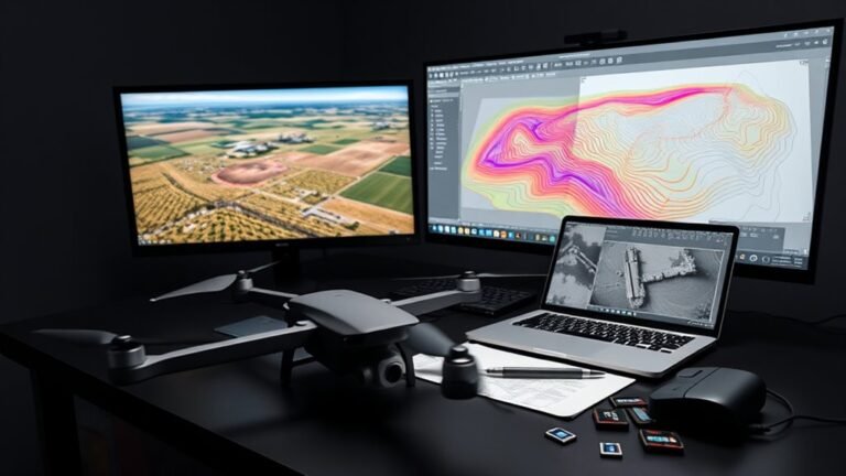
Discover how DroneDeploy exports can transform into AutoCAD and DXF files—and why some drone data still won’t behave as expected.
Drone reviews and flying guides for beginners and professionals: choosing a drone, camera settings and ND filters, FPV basics, geofencing and legal flying, troubleshooting, and mapping and survey workflows.
Discover how DroneDeploy exports can transform into AutoCAD and DXF files—and why some drone data still won’t behave as expected.
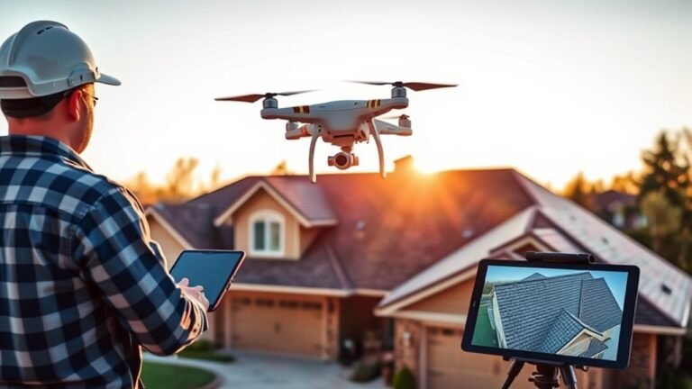
Measuring a roof with a drone can be remarkably precise, but the photogrammetry workflow hides a few critical steps most roofers overlook.
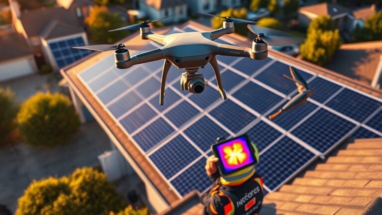
Just how small installers can combine thermal and RGB drone inspections to spot PV issues faster, with IEC 62446-3 guiding the workflow.
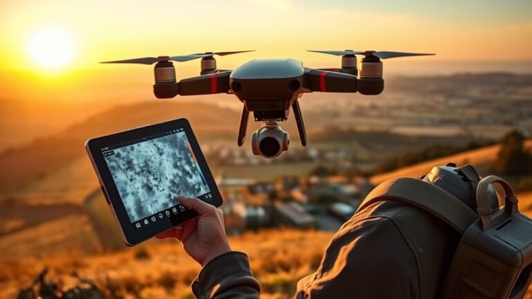
Flying thermal drones demands more than images—discover the cameras, rules, and radiometric data that turn heat spots into reliable maps.
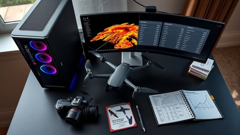
Just how long drone photogrammetry takes depends on image count and hardware, and our table reveals the surprising bottlenecks next.
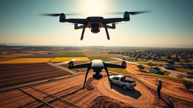
Overall drone survey costs vary widely by acreage, deliverables, and region, but the biggest price drivers may surprise you.
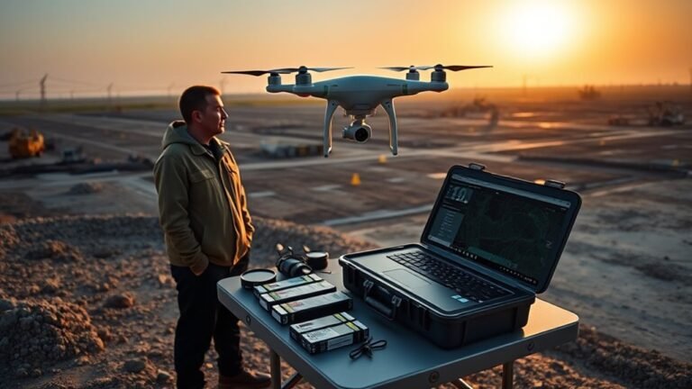
Keen to launch a drone mapping business? Learn the licenses, gear, software, and pricing secrets that can make or break your first profitable job.
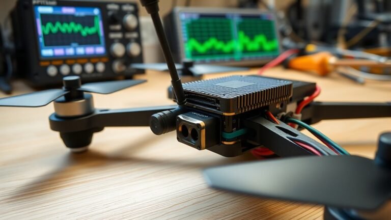
Discover how FPV VTX power, channels, and legal limits shape your video link—and the hidden settings that can make or break it.
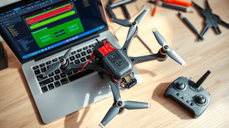
Start your Betaflight first flight setup carefully—modes, arming, failsafe, and motor order can make or break takeoff.
Great footage starts here with cinewhoop drones—discover what they are, where they shine, and which setup might be your perfect first pick.