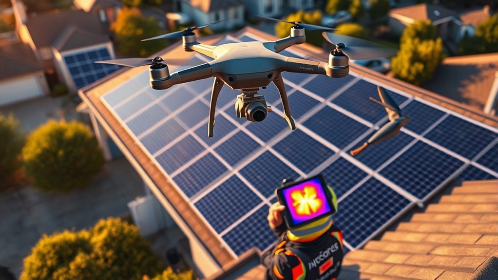
Drone solar panel inspection is changing how small installers assess PV arrays. Thermal and RGB imaging can expose electrical anomalies, physical damage, and soiling in a single flight, while geotagged outputs support faster reporting and targeted maintenance. The method reduces field time sharply, but its value depends on correct flight planning, sensor selection, and adherence to IEC 62446-3. The key question is how these pieces fit together in practice.
What Drone Solar Panel Inspections Are
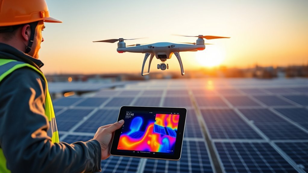
Drone solar panel inspections are the use of thermal and RGB-equipped unmanned aircraft systems to identify performance defects in photovoltaic arrays, including hotspots, module cracks, and potential induced degradation (PID).
These drone inspections streamline solar panel inspections across utility and rooftop sites by collecting thermal imaging and RGB cameras data at scale. Through anomaly detection, operators can flag thermal anomalies and visible surface damage without prolonged manual access.
These drone inspections streamline solar panel inspections by collecting thermal and RGB data at scale, flagging anomalies without prolonged manual access.
Automated flight paths stabilize acquisition, and GPS-linked positioning supports precise defect localization for inspection reports. Accurate thermal imaging generally requires solar irradiance above 600 W/m², which improves measurement reliability during field deployment.
Compared with conventional walkthroughs, drones compress survey time from weeks to hours, expanding practical oversight for small installers and asset owners.
When executed under compliance standards such as IEC 62446-3, the process produces defensible evidence for warranty claims, insurance records, and structured maintenance planning across photovoltaic assets.
Why Thermal and RGB Work Together
Thermal and RGB imaging complement one another by capturing both performance anomalies and physical defects in a single inspection pass. In solar panel inspection, thermal imaging detects hotspots, while RGB cameras reveal cracks, soiling, and surface damage. This dual view helps detect anomalies that affect efficiency but may not be visible in standard imagery.
| Imaging type | Diagnostic value |
|---|---|
| Thermal imaging | Exposes hotspots and performance issues |
| RGB cameras | Reveals cracks and contamination |
| Combined output | Supports thorough analysis |
| Geotagged data | Links faults to panel location |
| Data processing | Produces actionable reports |
When geotagged data from both sensors is processed together, maintenance teams gain a clearer map of fault locations and severity. The result is a more accurate, disciplined workflow that supports targeted action, reduces blind spots, and preserves operational autonomy. By pairing thermal and RGB sources, inspection programs can classify defects with higher confidence and maintain system performance under transparent, technically grounded control.
How Small Installers Save Time
Small installers can compress solar inspection timelines from weeks to days by deploying drones that complete rapid, geotagged assessments across multiple sites in a single day.
In drone inspections, automated flight paths standardize coverage and reduce inspection time, with large arrays often scanned in about 10 minutes per megawatt.
The solar panel inspection workflow benefits from paired RGB cameras and thermal data capture, allowing simultaneous visual and thermal review without repeat site access. This integration improves defect identification and preserves evidence in a single pass.
By removing the need for manual inspections at height, small installers lower safety risks and avoid stoppages tied to ladder, rope, or roof access.
By removing manual inspections at height, small installers reduce risk and avoid delays from ladder, rope, or roof access.
The result is higher operational efficiency: more assets evaluated per crew, faster reporting, and greater project throughput.
For small installers, the technology supports disciplined scaling while keeping labor exposure constrained and field operations liberated from slow, hazardous procedures.
Which Defects Drone Inspections Can Spot
When equipped with thermal and RGB sensors, drone inspections can identify a wide range of solar panel defects with high precision. Thermal cameras expose hotspots and other thermal anomaly patterns linked to overheating cells, bypass diode failure, and string-level faults. They also reveal Potential Induced Degradation, where voltage stress causes hidden performance loss across solar panels.
| Defect | Drone signal |
|---|---|
| Hotspots | Localized heat rise |
| PID | Uniform thermal drift |
| String faults | Sectional output loss |
| Diode failure | Distinct heat signature |
| Physical damage | RGB data confirms cracks |
RGB data supports visual inspections by detecting physical damage, including cracks and moisture ingress, before those defects reduce yield. The combined method gives small installers a disciplined way to localize faults, rank severity, and direct maintenance without unnecessary manual traversal. In practical terms, drone inspections convert scattered symptoms into actionable evidence, improving clarity, safety, and operational freedom.
What Gear You Need for Drone Inspections
Effective solar inspection requires a drone equipped with a dual-sensor payload, combining an RGB camera with a thermal imager of at least 640×512 resolution to support both visual and radiometric analysis.
Flight endurance of 25 minutes or more, stable handling, and calibrated thermal sensors are necessary to maintain consistent capture quality across large arrays, while ground control points improve geolocation accuracy.
Inspection software and workflow must also align with IEC 62446-3 to preserve measurement integrity and produce defensible reports.
Drone And Sensors
A drone used for solar panel inspection should be equipped with a high-resolution thermal camera, preferably at least 640×512 pixels, to detect temperature anomalies that may indicate failing cells, hotspots, or other panel defects.
A complementary RGB camera supports visual verification of cracks, soiling, and frame damage during inspection of solar installations.
Adequate flight time, ideally 25 minutes or more, reduces interruptions and preserves operational freedom across large arrays.
For precise defect location, GPS coordinates should be stabilized with RTK correction and ground control points.
During data capture, the drone must maintain consistent coverage and repeatable altitude.
Mission planning should also account for NDAA-compliant hardware, ensuring the platform is suitable for commercial use in sensitive environments.
Software And Workflow
For reliable solar inspection workflows, the software stack should match the sensor package and the scale of the site: a dual-sensor payload with a minimum 640×512 thermal camera and an RGB camera enables simultaneous radiometric and visual capture, while flight-planning software should automate grid missions at 15 to 30 meters to achieve roughly 3.0 cm GSD.
During drone inspections, automated grid patterns improve repeatability and reduce missed strings. Data processing tools must ingest 20 to 50 GB per mission, align thermal and RGB imagery, and produce thermal orthomosaics and anomaly reports quickly.
Compliance with IEC 62446-3 standards supports defensible documentation for warranty claims and insurance. Thermal sensor calibration should be verified monthly during active seasons to preserve radiometric accuracy and keep liberated operators independent from avoidable diagnostic uncertainty.
How to Plan a Reliable Drone Flight
Reliable drone inspection begins with a flight plan built around panel-row geometry, image quality requirements, and weather constraints.
In disciplined flight planning, automated flight paths should run parallel to module rows, supporting consistent 3 cm/pixel GSD for thermal imagery and RGB capture. A preliminary site assessment should verify environmental conditions, obstruction risk, and panel orientation before launch.
Altitude considerations are critical: 15 to 30 meters AGL balances coverage, thermal data fidelity, and safe clearance. Overlap settings of 80% forward and 60% side overlap improve orthomosaics and strengthen defect detection.
- Schedule flights between 10:00 AM and 2:00 PM.
- Confirm clear skies and irradiance above 600 W/m².
- Prepare for weather losses of up to 30%.
- Adjust timing for seasonal variation and client access.
- Validate automated flight paths before takeoff.
Frequently Asked Questions
How Much Do Drone Inspectors Get Paid?
Drone inspectors typically earn $50,000 to $100,000 annually, with entry roles near $30,000 to $40,000 and experienced operators exceeding $100,000.
Drone salaries reflect inspection trends, job opportunities, certification requirements, industry standards, regional variations, experience impact, equipment costs, employer expectations, and future outlook.
Project-based utility work often pays $150 to $500 per megawatt.
Specialized thermography credentials improve leverage, expanding earning power and autonomous professional mobility.
How Much Does a Thermal Imaging Inspection Typically Cost?
A thermal imaging inspection typically costs $200 to $500 for residential systems, while commercial work often runs $150 to $500 per MW.
Cost factors include inspection frequency, regional pricing, service packages, and insurance implications.
Technology advancements and market trends can shift pricing, while DIY inspections may appear cheaper.
Customer expectations and maintenance planning also matter.
IEC 62446-3 compliant work usually costs more, and reports may add 2 to 5 days.
What Is the Best Drone for Solar Panel Inspection?
Birds of a feather flock together: the best drone for solar panel inspection is a dual-sensor model with 640×512 Thermal imaging, high-resolution RGB cameras, strong Flight stability, and 25–40 minute endurance.
Drone features should emphasize Inspection efficiency, Payload capacity, Software integration, Data analysis, Safety protocols, and Regulatory compliance.
For budget work, DJI Mavic 3 Thermal is practical; for utility-scale autonomy, NDAA-compliant Acecore platforms deliver superior precision and operational freedom.
Do I Need a License to Fly a Drone for Roof Inspections?
Yes, a license is generally required for commercial roof inspections. Under FAA drone regulations, a Remote Pilot Certificate, Part 107 compliance, and FAA registration are needed.
Flight safety depends on training programs, equipment requirements, insurance needs, local laws, and operational limits. The operator should also note inspection benefits, maintenance tips, and technology advancements.
For technical work, thermography certification strengthens capability, especially when freedom from error and compliant operation are prioritized.
Conclusion
Drone solar panel inspection has become a practical workflow for small installers because thermal and RGB imaging provide complementary diagnostic data in a fraction of the time required for manual checks. A useful statistic to include is that inspections can often be reduced from weeks to hours, underscoring the operational advantage. When flights are carefully planned and outputs are geotagged and standardized, maintenance reporting becomes more accurate, defect detection improves, and asset performance can be managed more efficiently.