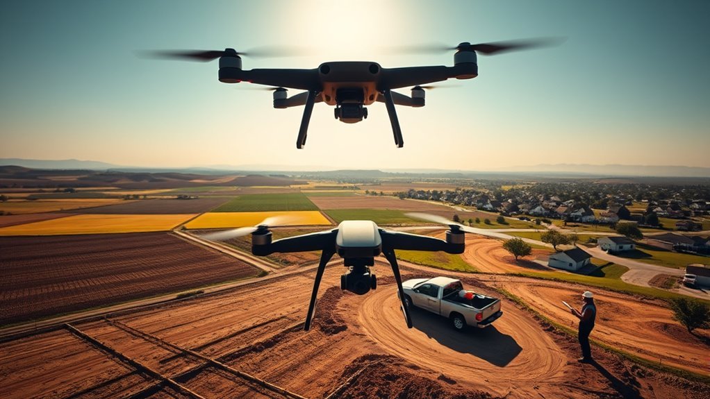
Drone survey pricing is rarely fixed. Costs often fall between $30 and $120 per acre, but parcel size, deliverables, and regional demand can shift the rate sharply. Small jobs usually carry higher effective prices, while larger sites benefit from scale. Thermal outputs, dense urban airspace, and local competition can also change the final number. The real question is which factors matter most in a given project.
What Drives Drone Survey Cost
Drone survey cost is typically driven by a combination of project complexity, output requirements, and operational conditions, with rates commonly falling between $30 and $120 per acre.
A drone survey requiring high-resolution imagery, rigorous georeferencing, or three-dimensional reconstruction generally incurs higher pricing because sensor quality and processing intensity rise in tandem.
Deliverables also matter: standard orthomosaics are less demanding than 2D/3D maps or thermal products, which require specialized capture protocols and more extensive postprocessing.
Terrain difficulty, site access, travel time, setup, and the use of Ground Control Points can further increase labor and logistical overhead.
Regional demand influences pricing as well, since dense service markets often command higher rates. Conversely, larger projects may reduce unit cost through scale efficiencies.
In technical terms, the final drone survey price reflects a balance between data fidelity, field effort, and computational burden, rather than acreage alone.
Drone Survey Cost by Acre
Per acre, drone survey cost typically falls between $30 and $120, with the final rate shaped by acreage, deliverable complexity, and site conditions. This pricing band reflects variable operational density: smaller parcels usually carry higher effective rates, while larger tracts often secure lower per-acre pricing through scale efficiencies.
A minimum charge of about $250 is common for data collection, covering setup, flight planning, and initial processing, so acreage alone does not fully determine invoice totals. Deliverables also alter drone survey cost per acre; 2D orthomosaic maps, 3D models, and thermal products each require different processing burdens and sensor requirements.
Industry context matters as well. Agricultural work often uses acreage-based flat rates, while real estate projects may be quoted differently because of workflow and deliverable expectations. For clients seeking transparency, per-acre pricing can clarify marginal cost and support more autonomous land management decisions.
Typical Drone Survey Costs for Small Jobs
For small drone survey jobs, costs commonly fall between $30 and $120 per acre, with a minimum charge of about $250 often applied to cover data collection, flight setup, and initial processing.
This pricing structure reflects fixed mobilization costs that remain substantial even on limited acreage, making drone services economically rational only when the site size and scope justify deployment.
Hourly billing is also used, typically at $100 to $200 per hour, especially when travel, setup, and field execution are itemized separately.
A 20-to-30-acre project often requires about 4.5 hours end to end, including transit and processing, which helps explain the floor charge.
Regional conditions, site access, and mission complexity can shift the rate within the stated band.
For clients seeking autonomy from inefficient surveying methods, these costs provide a measurable entry point into aerial data acquisition without unnecessary overhead or dependency.
How Deliverables Affect Drone Survey Pricing
Deliverables strongly shape drone survey pricing because the output format determines both processing workload and equipment requirements.
A basic drone survey that produces a 2D orthomosaic or simple 3D model usually falls within the common range of $30 to $120 per acre.
More advanced outputs, such as thermal imagery, elevate cost because they demand specialized sensors and more intensive analysis.
When contour lines are required for AutoCAD, processing steps increase further, and pricing typically rises to reflect that added computational burden and manual refinement.
Projects that use Ground Control Points also add about a $250 setup fee, since field calibration improves accuracy but expands labor.
Deliverable choice can also force higher-spec cameras and sensors, which changes the economic profile of the survey.
In liberated, efficiency-focused operations, clients benefit by aligning deliverables with actual decision needs rather than buying unnecessary complexity.
How Location Changes Drone Survey Prices
Drone survey pricing varies materially between urban and rural areas, with cities generally carrying higher rates because of denser airspace, permitting, and higher operating overhead.
Travel distance, site access, and setup complexity can further increase costs, especially where ground control placement or repositioning requires additional labor.
Local market conditions also shape pricing, as regional demand and competition commonly produce rates that range from about $30 to $120 per acre.
Urban Vs Rural Rates
Location is a primary cost driver in drone surveying, with urban projects typically priced around $50 to $150 per acre because of dense infrastructure, stricter airspace controls, and higher operational demand.
A drone survey in such markets often requires more detailed deliverables, including 3D models and thermal maps, which increases analytical workload and billing.
Rural rates generally fall between $30 and $100 per acre, reflecting fewer operational constraints, lower competition, and simpler site conditions.
Urban pricing can also rise when access is constrained by traffic or restricted airspace, while rural operations are usually more direct.
Regional regulation and provider density further shape rates, with metropolitan areas often commanding premium pricing.
This differential improves the freedom to allocate resources efficiently.
Travel And Setup Costs
Beyond the base per-acre rate, travel and setup introduce a separate cost layer that is strongly influenced by site location and access. Travel costs usually begin with a minimum charge near $250, reflecting mobilization time and distance to the project site.
Remote access can extend the round trip by about 1.5 hours, while on-site setup and data collection may require 2 additional hours, increasing labor exposure and operational overhead.
- Transit time: distance, road conditions, and remoteness
- Field setup: launch area, battery staging, and calibration
- Control points: GCP placement, client preparation, and accuracy impacts
These variables are not arbitrary; they represent the logistics of making aerial measurement possible. For clients seeking autonomy in project planning, understanding travel costs clarifies why identical acreage can produce different quotes.
Local Market Differences
Regional market conditions play a major role in drone survey pricing, with per-acre rates often ranging from about $30 to $120 depending on demand, competition, and local operating costs.
In urban markets, a drone survey usually costs more because labor, permitting, and client expectations for dense data raise overhead.
Rural and remote areas can lower base rates, yet travel time, access constraints, and logistics may offset that reduction.
Established regional benchmarks also shape pricing, since providers align offers with prevailing industry standards to remain competitive.
Terrain complexity and vegetation density further influence cost by increasing flight time, processing effort, and equipment needs.
As a result, location does not merely shift price; it determines the practical terms under which surveying service is delivered.
What Affects Drone Survey Accuracy?
Drone survey accuracy is strongly shaped by the platform itself, particularly the drone type and the quality of its sensor package, which can influence measurement precision down to the centimeter scale.
Flight height and coverage parameters also affect resolution, with higher altitudes and inadequate overlap reducing the fidelity of captured data.
These variables are often evaluated alongside site conditions and processing methods to determine whether the final survey deliverables meet the required tolerance.
Drone Type And Sensors
Survey accuracy depends heavily on the aircraft platform and sensor package selected for the job. In drone work, fixed-wing systems usually deliver broader, more stable coverage over large sites, while multirotor platforms may suit smaller or more constrained areas.
Sensor quality is equally determinative: 4K cameras and 12 MP photo payloads support sharper photogrammetry and cleaner 3D models.
- RTK GPS can reduce positional error to about two centimeters.
- Ground Control Points strengthen georeferencing, especially across irregular terrain or mixed ground cover.
- Site conditions, including tree canopy and weather, can degrade data quality and should be assessed in advance.
Together, platform, sensor fidelity, and control measures define the precision envelope available to liberated, technically demanding survey operations.
Flight Height And Coverage
Flight height and coverage directly shape the accuracy profile of a drone survey, as altitude affects image resolution, ground sample distance, and the amount of detail captured in each pass. Lower flight heights usually produce sharper imagery and finer measurement precision, while higher elevations expand coverage but can reduce detail.
In a drone survey, location accuracy can approach two centimeters when aircraft, sensors, and planning are matched to site conditions. Fixed-wing platforms often sustain broader coverage at efficient altitudes, improving consistency across large parcels.
Ground control points remain essential because they anchor aerial data to real-world coordinates, especially when flying higher. Ground cover, wind, and atmospheric variability also influence results, so survey design must adjust height, overlap, and routing to preserve accuracy and operational freedom.
How Drone Survey Pricing Is Calculated
Pricing for drone survey services is typically calculated using a mix of acreage, labor time, project complexity, and deliverable requirements. In drone survey pricing, acreage often serves as a baseline, with per-acre rates commonly ranging from $30 to $120, while small jobs may trigger a minimum charge near $250 for data collection. Hourly billing, usually $100 to $200, is also used when field conditions or scope resist fixed acreage estimates.
Drone survey pricing often blends acreage, labor time, and deliverable needs, with minimum charges for smaller jobs.
- Area covered: larger tracts can reduce per-acre cost.
- Labor inputs: setup, flight, processing, and quality control are priced separately.
- Deliverables: 2D orthomosaics, 3D models, and thermal maps raise analytical value and cost.
Regional markets further modify rates, reflecting competition, regulation, and service availability. This structure allows clients to choose only the measurements they require, supporting efficient, transparent acquisition of aerial data without paying for unnecessary overhead.
When Drone Surveys Save the Most
Drone surveys deliver the greatest savings on large, continuous tracts where fixed-wing platforms can map hundreds of acres rapidly, lowering both field time and total labor demand.
In such settings, a drone survey can reduce expenditure by as much as 50% relative to conventional crews, while completing acquisition in a fraction of the time. Typical land-survey pricing of $30 to $120 per acre becomes especially advantageous when scale expands and repetition is required.
The economic advantage is strongest in construction corridors, agricultural estates, and infrastructure sites that require frequent updates. Savings also increase when terrain is steep, obstructed, or hazardous, because drones reach areas that would otherwise require specialized access, delays, or elevated risk.
Frequently Asked Questions
Is It Worth Getting a Drone Survey?
Yes, it is usually worth getting a drone survey.
Survey benefits include faster data capture, centimeter-level accuracy, improved safety, and reduced labor exposure. The method can deliver orthomosaics, 3D models, and thermal data that support precise analysis and better planning.
For projects requiring efficient, actionable intelligence, the technical return often exceeds the cost, especially when time savings and risk reduction are prioritized over conventional field methods.
How Much to Charge for a Drone Survey?
A drone survey should be charged by applying Pricing Factors such as acreage, site complexity, travel, deliverables, and client sector.
A typical baseline is $100 to $200 per hour, or $30 to $120 per acre, with a minimum fee near $250.
Larger projects may justify flat pricing and volume discounts.
Industrial and construction work usually commands higher rates, while real estate often supports leaner pricing structures.
What Is the Typical Cost of a Drone Survey?
A typical drone survey costs about $30 to $120 per acre, with Survey Technology pricing often shaped by terrain, deliverables, and region.
Smaller jobs usually trigger a minimum charge near $250, while hourly rates commonly range from $100 to $200.
Orthomosaic, 3D, and thermal outputs can raise fees.
Larger projects usually reduce per-acre cost, reflecting improved operational efficiency and enabling more autonomous, data-driven decision-making.
How Much Does a 20 Minute Drone Show Cost?
A 20 minute drone show typically costs $10,000 to $30,000, with Show Production driving variance through drone count, choreography, venue logistics, and regional compliance.
Custom themes or complex motion design may add $2,000 to $5,000.
Permits, insurance, and venue fees can further elevate expenses.
High specification LED fleets and operational support increase cost, though package pricing sometimes lowers the per minute rate, expanding access and creative autonomy.
Conclusion
In practice, the theory that drone survey pricing is driven primarily by acreage proves only partially true. While larger parcels usually reduce per-acre cost through scale, deliverable complexity, access constraints, and regional demand often exert greater influence. Thermal products, urban flight restrictions, and higher accuracy requirements can materially increase pricing. The evidence suggests a multidimensional cost model, not a simple acreage-based rate, determines final survey expense and value.