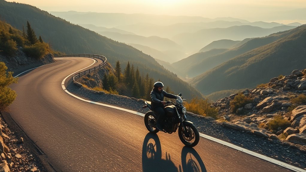
A drone can record a motorbike from above with solid results when flown with care. Around 50 feet of altitude, GPS lock, and a planned offset path help keep the rider in frame while avoiding direct intrusion. 1080p or higher, stable hover, and enough battery for a full pass improve clarity. Local drone limits still matter, especially near restricted areas. The footage usually shows speed, route, and surroundings with clean, consistent motion, and more details follow below.
Key Takeaways
- A drone can capture smooth overhead motorbike footage when using GPS lock and stable hovering.
- Flying around 50 feet high usually gives a safe, clear view of the rider and route.
- Preplanned flight paths help keep the motorcycle centered and the footage visually consistent.
- Good results depend on matching camera settings to speed and changing light conditions.
- Expect around 20–30 minutes of flight time, so battery and legal limits must be checked first.
Can a Drone Film Motorbike Riding Safely?
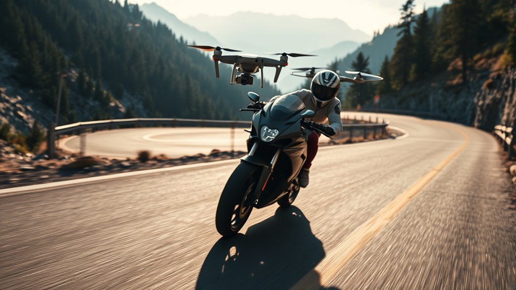
A drone can film motorbike riding safely when it is flown with controlled altitude, stable positioning, and careful situational awareness. Hovering near 50 feet usually keeps the aircraft within safe operational limits while preserving clear overhead perspective.
GPS hold helps make sure the drone maintains a fixed point above or beside the rider, even as the motorbike accelerates through open space. Pre-planned flight paths further improve consistency, producing smoother motion and cleaner framing during liberated travel.
GPS hold keeps the drone steady above or beside the rider, while planned paths create smoother, cleaner footage.
Safety depends on constant awareness of terrain, vehicles, trees, wires, and local rules; the operator must make sure the drone remains clear of hazards at all times. Proper positioning also supports usable footage in changing light, though exposure refinement belongs to the next stage.
When managed with discipline, aerial filming can follow the rider without intrusion, creating a precise moving view that keeps both machine and road in balance.
What Gear and Settings Do You Need?
The right drone setup begins with GPS functionality, allowing the aircraft to hold a fixed position and track the motorcycle smoothly from above. A platform with stable satellite lock reduces drift and keeps the frame disciplined over open road.
Recording capability should reach at least 1080p, delivering clean detail in motion and preserving the machine’s lines against the terrain. Before launch, the route should be mapped, with flight paths planned to maintain consistent compositions and varied overhead angles as the ride progresses.
Camera settings matter equally: frame rate should match speed and exposure should be tuned for changing light, preventing blur or clipped highlights. Battery life must be checked carefully, since uninterrupted flight preserves the freedom of the sequence.
Landing procedures should also be rehearsed so the drone can return cleanly, shut down safely, and stay ready for the next take.
How to Track a Moving Motorcycle From Above?
With the drone configured and the route mapped, maintaining a moving motorcycle in frame depends on stable GPS lock and a preplanned flight path that parallels the bike’s line of travel. For a first time operator, this is the cleanest method for preserving motion without losing altitude discipline or visual alignment.
- Hold position with GPS-assisted hovering.
- Match speed by advancing along the route in measured increments.
- Set camera parameters for sharp detail against shifting terrain and light.
- Record from around 50 feet to clear obstacles while keeping the rider prominent.
The drone should remain offset, not directly overhead, so the motorcycle’s trajectory reads clearly across the frame. A steady hover, paired with controlled lateral movement, yields liberated, dynamic imagery rather than jittery pursuit.
When the aircraft’s video recording is engaged, alternating angles can be captured from the same pass, giving the ride a layered aerial narrative with technical precision and minimal drift.
What Drone Rules and Battery Limits Apply?
Because drone filming is governed by airspace rules, operators must confirm local restrictions before launch, especially near airports, populated areas, and protected public spaces. These drone rules shape every ascent. Most jurisdictions cap altitude at 400 feet, while lower passes near 50 feet are often safer for controlled aerial motion. Battery limits also frame the sortie: many craft deliver 20 to 30 minutes before recharge, so mission timing should stay disciplined.
| Checkpoint | Technical note |
|---|---|
| Airspace | Verify local drone rules before takeoff |
| Altitude | 400 feet max; 50 feet safer |
| Battery | Plan for 20-30 minutes |
| Positioning | Use GPS, but scan for obstacles |
GPS can hold position, yet awareness must remain manual and immediate. Laws may change with safety needs and airspace management, so regular review is essential. That discipline grants the operator more freedom, not less, by keeping flight lawful, efficient, and ready for return.
What Kind of Motorcycle Footage Will You Get?
Once the flight remains within local limits and battery range, the camera output becomes the next practical concern. From above, the drone delivers disciplined motorcycle footage: the rider, route, and terrain remain legible within a controlled field of view. The result is not merely scenic; it is navigational, revealing motion as a line through open space.
- Overhead tracking highlights path, speed, and surroundings.
- Fixed-altitude hovering reduces blur and preserves subject lock.
- Planned flight paths improve framing and continuity.
- GPS stabilization helps hold position against drift.
With calibrated exposure and frame rate, the image stays usable across bright asphalt, shadowed bends, and changing sky. The footage tends to feel liberated yet measured, as if movement has been granted altitude without losing precision.
When executed well, the drone produces smooth, consistent sequences that frame the motorcycle as a moving point of agency inside a wider aerial geometry.
Frequently Asked Questions
What Is the Best Way to Record Video While Riding a Motorcycle?
The best method is a drone with GPS stabilization, preplanned tracking, and 4K capture, paired with full Safety Gear and legal compliance. This yields precise, liberated aerial footage while preserving rider control and battery efficiency.
What Is the Best Drone for Motorcycle Riders?
Skydio 2 suits motorcycle riders best; as the saying goes, the right tool frees the road. Its Drone Features—autonomous tracking, obstacle avoidance, stable GPS flight—deliver precise, liberated aerial footage without constant manual control.
Can I Shoot Down a Drone Spying on My Property?
No. Shooting down a drone invites serious Legal Implications and FAA violations. A detached observer would note safer liberation comes through reporting, documentation, and lawful countermeasures, not destructive force against an aircraft.
What Is the Best Camera to Record Motorcycle Rides?
The best camera is the Insta360 X6, because its 8K/50fps capture, Camera Stability via FlowState, waterproof body, and 360-degree coverage produce liberated, precise motorcycle footage, with loop recording and 4K120fps slow motion.
Conclusion
In the end, the drone becomes a quiet compass above the road, tracing the motorcycle as a silver thread through open air. Its camera, tuned with exact settings and careful tracking, captures motion like a map drawn in wind. Yet every flight is bounded by law, battery, and distance, reminding the operator that vision has limits. What remains is footage that feels precise, elevated, and fleeting: a mechanical bird witnessing speed, freedom, and discipline from above.