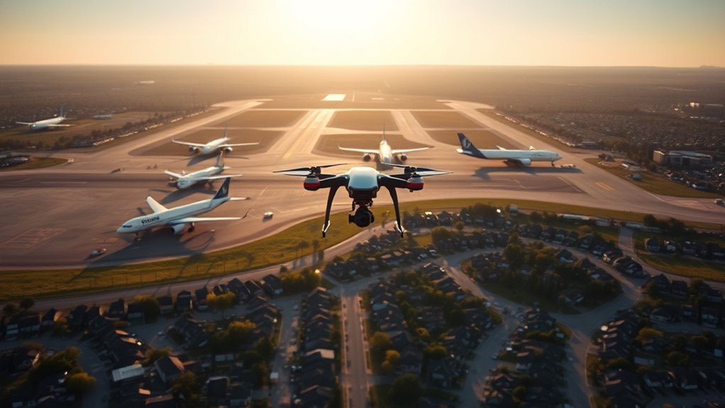
Drone pilots cannot assume the same rules apply near every airport. In Class B, C, and D airspace, prior authorization is required before flying, often within a 5.5 km, or 3 NM, buffer. Class E can also require approval down to 400 feet AGL. Class G is less restrictive, but not risk-free. The real question is not just distance. It is which airspace lies overhead.
What Are the Airport Drone Rules?
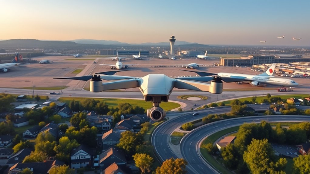
Airport drone rules depend on the type of airspace involved. In controlled airspace around an airport—Class B, C, D, and E—every drone operation needs airspace authorization, even for recreational flyers.
The FAA ended the old five-mile rule in 2019, so distance alone no longer grants freedom. Authorization can often be requested through LAANC when the planned altitude stays below the UAS Facility Map grid limit.
In uncontrolled Class G airspace, a drone may fly below 400 feet AGL without prior approval, giving more room near smaller airport areas.
Public entities may obtain special permissions, but they still must follow FAA coordination requirements.
Airspace limits also depend on weight: drones over 250 g face stricter limits within 5.5 km of a controlled airport, while lighter models may reach 45 m if they avoid traffic patterns and restricted zones.
The rule is simple: know the airspace, secure authorization, and fly with discipline.
How Close Can You Fly to an Airport?
How close a drone may fly to an airport depends on the airspace and the type of airport. Near controlled airports, drone operators cannot enter the 5.5 km, or 3 NM, buffer without prior authorization, typically through LAANC or FAADroneZone.
Near controlled airports, drones cannot enter the 5.5 km buffer without prior authorization.
In Class E2 airspace, that requirement applies from the surface to 400 feet AGL. At non-controlled airports, drones may fly within 5.5 km, but only with constant vigilance and an immediate landing if aircraft are detected nearby.
In uncontrolled airspace, operators may fly without FAA authorization if they stay below 400 feet AGL and keep clear of manned aircraft. That freedom is not absolute.
Aircraft always have the right-of-way, and traffic patterns around airports demand caution even when no formal clearance is required. The practical rule is simple: the closer the operation comes to airports, the more restraint is required.
Safe, lawful flying means respecting space, watching for traffic, and never treating the sky like empty territory.
Which Airspace Classes Need Authorization?
Authorization is required in Class B, Class C, and Class D airspace, since each of these controlled zones surrounds airports with active air traffic management. For anyone seeking to fly near airports, airspace authorization is not optional in these classes; it is the gatekeeping step that keeps drone operations inside the rules.
Class B covers the busiest major airports, Class C surrounds towered airports with radar services, and Class D protects smaller towered fields. Each area demands permission before takeoff.
Class E can also require authorization when it is controlled surface airspace, especially near airports, where operations from the surface to 400 feet AGL remain regulated.
By contrast, Class G is uncontrolled, so drones may operate without authorization there, though vigilance around manned aircraft still matters.
The practical rule is simple: controlled airspace needs approval; uncontrolled airspace does not.
How LAANC Authorizes Airport Flights
LAANC streamlines airport-area drone flights by providing near-instant airspace authorization for operations below approved altitude limits in controlled airspace. It lets qualified pilots obtain LAANC approval in real time through service suppliers, replacing slow manual requests with a faster path to lawful flight near airports.
| Benefit | Meaning |
|---|---|
| Real-time access | Less waiting, more flying |
| Controlled airspace | Clear limits, safer operation |
| Eligible pilots | Part 107 and recreational users |
Because LAANC applies in Class B, C, D, and E airspace, it gives pilots a practical way to move with confidence while staying aligned with FAA rules. The system also checks altitude against UAS Facility Map grid limits, helping keep authorization precise. For recreational pilots and Part 107 holders alike, LAANC reduces friction and opens controlled airspace without unnecessary delay. That efficiency supports safer, more efficient flights and preserves freedom where regulation would otherwise slow it.
When You Need FAA DroneZone Authorization
Even with LAANC speeding up airport-area approvals, some flights still require FAA DroneZone authorization. That applies whenever a pilot wants to fly near airports in controlled airspace: Class B, Class C, Class D, and many Class E areas. The approval comes before takeoff and sets altitude limits and other operating conditions.
In LAANC-served locations, automation can grant authorization below the posted UAS Facility Map grid altitude. In places without LAANC, requests go through DroneZone, especially for Part 107 waivers and other nonstandard operations.
Recreational flyers must treat this as a gate, not a suggestion. Controlled airspace is not the same as uncontrolled airspace, and the rules shift sharply at the boundary. Authorization helps avoid traffic patterns, protect the runway environment, and respect the air traffic control tower’s responsibility.
When the paperwork is in hand, the operator gains lawful access and clearer freedom to fly without guessing.
Check B4UFLY Before You Fly
Before a drone is launched near an airport, B4UFLY can provide a quick airspace check and show the airport’s authorization status.
Grey airplane icons identify airports, while colored circles indicate controlled airspace that may require LAANC authorization in Class B, C, D, and E areas.
A green “Clear for Takeoff” box signals locations where FAA authorization is not needed.
B4UFLY Airspace Check
The B4UFLY app provides a quick airspace check for drone operators near airports, showing real-time advisories and whether a location needs authorization before takeoff.
In B4UFLY, airports appear as grey airplane icons, mapping controlled airspace boundaries that must be respected. Colored circles signal zones where flying a drone may require FAA permission, especially in Class B and Class C airspace.
A green “Clear for Takeoff” box means no authorization is needed, giving operators a fast, practical answer before launch. This check helps users move with confidence while staying within the rules.
Nearly 10% of submissions concern small-airport operations, showing how often the app is used to verify airspace status and avoid unnecessary delays, confusion, and risk.
Airport Authorization Status
Checking airport authorization status starts with B4UFLY, which shows real-time airspace advisories and marks controlled zones with colored circles around airport icons. This lets recreational flyers see whether they may fly my drone near an airport or need clearance first. In controlled airspace, Class B, C, D, or E, prior authorization is required through LAANC or FAADroneZone.
| Item | Meaning |
|---|---|
| B4UFLY app | Real-time airport authorization status |
| Colored circles | Controlled airspace boundary |
| LAANC | Fast approval below grid limits |
| Fixed sites | FAA agreements may add rules |
The B4UFLY app also highlights fixed sites with FAA agreements, where special provisions may apply. For liberated flight, the rule is simple: check, confirm, authorize, then launch.
How to Fly Safely Near Small Airports
Flying safely near small airports starts with identifying the airspace and understanding the rules that apply, since controlled airspace such as Class B, C, D, and E requires different authorization than uncontrolled Class G.
Flying near small airports starts with knowing the airspace and the rules that apply.
For anyone who wants to fly near airports and stay free to keep operating, the key is discipline.
- Check the airspace first. In uncontrolled airspace, a pilot may fly without prior FAA authorization, but manned aircraft still deserve constant awareness.
- Know when LAANC is required. In Class E2, authorization is needed from the surface to 400 feet AGL.
- Study traffic patterns. Tools like airnav.com help reveal local operations and reduce conflict.
- Yield immediately. The drone must yield to manned aircraft, and if one approaches, it should land at once.
That approach helps any operator fly safe, protect others, and preserve access near small airports without unnecessary restriction or risk.
Frequently Asked Questions
Can FAA Know You Flew a DJI Drone?
Yes. The FAA can know a DJI drone was flown through drone registration requirements, flight logs, reports from DJI, and enforcement of drone laws.
DJI drone technology advancements, including geofencing, also create records tied to drone flight restrictions. With airspace classification explained, authorities can compare activity near controlled areas and investigate patterns.
Privacy concerns drones remain real, yet lawful operators gain freedom by following authorization rules and keeping flights compliant.
What Are the New FAA Drone Rules for 2026?
As of 2026, FAA rules will tighten drone registration requirements, require airspace classification explained before controlled-airspace flights, and keep authorization mandatory near airports.
Operators should expect stricter drone operational limits, especially when flying near heliports, plus stronger geofencing and more active FAA enforcement actions.
Safety guidelines compliance will matter more than ever. Remote pilots must monitor LAANC, FAADroneZone, B4UFLY, and TFR notices to fly responsibly and remain free within lawful skies.
Is It Legal for My Neighbor to Fly a Drone Over My House?
Generally, yes—if the neighbor follows airspace regulations, FAA limits, and local rules, flying a drone over a house is often legal.
Yet drone privacy concerns, property rights, noise complaints, neighbor disputes, and drone safety issues can create valid grounds for action.
If the flight becomes intrusive, dangerous, or violates local ordinances, the affected homeowner may seek remedies through municipal enforcement or civil complaint, asserting their right to quiet use.
Will TSA Take My Drone?
Usually not, unless safety concerns arise, like a spark in a packed suitcase.
TSA drone policies do not ban drones outright, but the security screening process may inspect them, especially batteries and spare parts. Confiscation is rare and usually tied to prohibited drone areas or hazardous transport.
Travelers should follow drone transportation guidelines, confirm drone registration requirements, and use traveler drone tips by checking airline rules before departure.
Conclusion
In the end, airport drone rules are less a maze than a map: Class B, C, and D airspace generally require prior authorization within the 5.5 km (3 NM) buffer, while some Class E areas also need approval down to 400 feet AGL. Class G is usually open, but caution still matters. Pilots who check B4UFLY, use LAANC or DroneZone, and verify the airspace before takeoff can fly with confidence and stay compliant.
