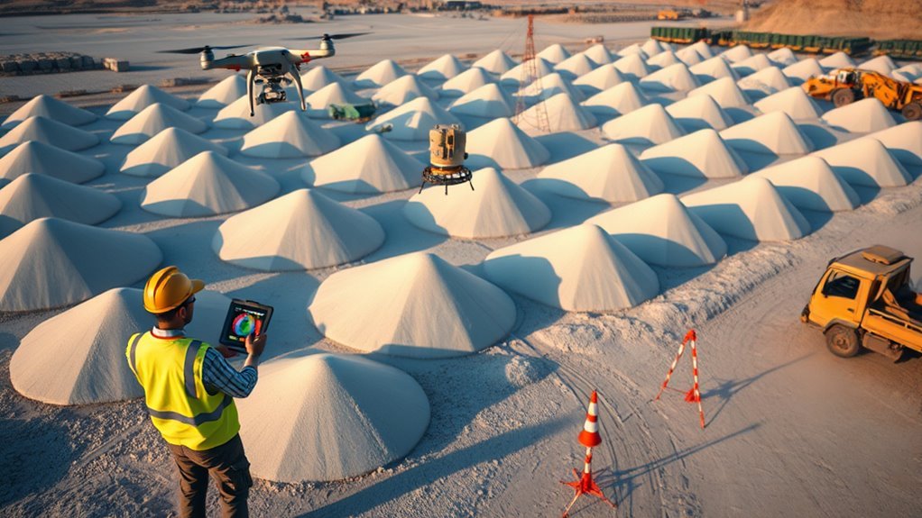
Drone stockpile measurement uses videogrammetry to convert a short orbit video into a 3D surface model and volume estimate, often in under 15 minutes. Compared with conventional surveys, it reduces field setup and manual control points while still targeting 97–99% agreement when flight and processing are controlled. The workflow is simple in principle, but accuracy depends on drone choice, camera geometry, and software settings that can change the final number.
What Is Drone Stockpile Measurement?
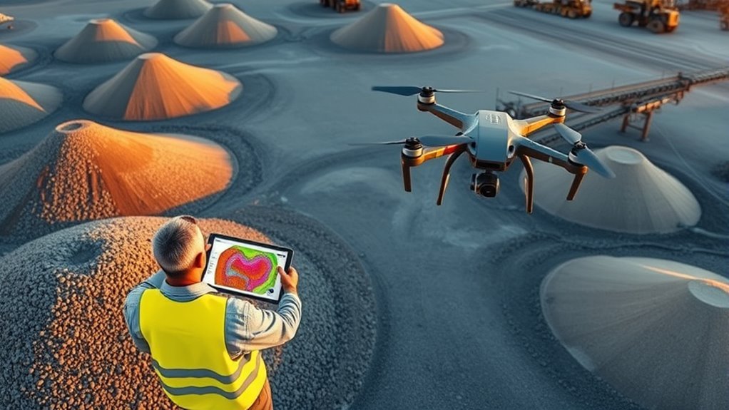
Drone stockpile measurement is a videogrammetry process that reconstructs 3D stockpile geometry from video frames and converts that model into a volume estimate within minutes of data capture.
In practice, drone stockpile measurement functions as a volume measurement tool for producing accurate volumes without specialized survey hardware. A consumer or commercial drone capable of recording .MP4 or .MOV video can collect the source data.
The typical workflow is an orbit flight at consistent altitude for 2–4 minutes, followed by upload and cloud processing. The resulting model is transformed into a measurable surface and volume output, often in under 15 minutes from flight to result.
Precision depends on service tier, ranging from 2–6 inches on Lite to 0.1 inch on Premium Advanced. For operators seeking autonomy and faster decisions, the method compresses measurement into a repeatable digital pipeline while preserving quantitative control over stockpile inventory.
Why Traditional Stockpile Surveys Take So Long
Traditional stockpile surveys are time-intensive because they require systematic grid-flight coverage and precise placement of multiple ground control points before acquisition begins.
This setup phase delays fieldwork, while subsequent desktop processing can extend for several hours before volume results are available.
The combined workflow creates a measurable bottleneck, particularly for operations needing rapid inventory updates.
Grid Flight Requirements
Measuring stockpile volumes with conventional survey workflows typically requires a systematic grid flight, multiple overlapping flight paths, and extensive ground control point placement. As a result, a single site can take several hours to capture and georeference accurately.
These grid flight requirements increase operational friction because every pass must satisfy coverage and measurement accuracy thresholds. Ground control points (GCPs) add another layer of scheduling, layout, and verification, which extends field time and delays downstream reporting.
In practice, the workflow becomes a throughput bottleneck: acquisition may finish in minutes, but desktop processing and volume modeling often take longer than the flight itself. For smaller operations, this burden is magnified, as limited personnel and equipment constrain survey frequency and slow inventory decisions.
The result is postponed visibility, reduced responsiveness, and weaker control over material movement.
Ground Control Setup
Ground control setup is often the most time-intensive component of a stockpile survey, because it requires placing and logging numerous GCPs before usable data collection can begin.
In traditional workflows, ground control points (GCPs) are distributed to georeference the model and support stockpile volume measurement. Each point must be surveyed, recorded, and verified, adding operational time before the flight produces usable outputs.
On unstable piles, this work also demands controlled access, increasing exposure and requiring strict safety procedures. For smaller operations, the labor burden is disproportionate, since limited personnel must still achieve the same control density to preserve accurate stockpile volume estimates.
The result is a process optimized for precision, yet constrained by time, logistics, and risk rather than efficiency.
Desktop Processing Delays
Once field capture is complete, the delay shifts from site preparation to desktop processing, where stockpile survey output is still not immediately usable.
Traditional workflows require hours of desktop processing to convert images or measurements into certified volumes, which postpones inventory tracking and compliance reporting.
Manual entry, point labeling, and surface modeling create bottlenecks that scale poorly when rapid decisions are required.
Smaller operations bear this delay most heavily because they have fewer staff and less software capacity to absorb long turnarounds.
By contrast, a drone flight paired with automated analytics can compress the full path from acquisition to volume result to under 15 minutes.
That reduction frees managers from waiting on dated workflows and restores operational control through faster, more transparent stockpile intelligence.
Choose the Right Drone and Camera
Choosing the right drone and camera is fundamental to reliable stockpile volume analysis, as image quality directly affects model accuracy and measurement confidence. For stockpile volume measurements, a drone with a large sensor and high-grade optics produces sharper edges, stronger texture, and better point-cloud definition. Software for stockpile workflows typically accepts .MP4 and .MOV files, so consumer and commercial platforms can integrate without specialized capture systems.
| Model | Strength | Value |
|---|---|---|
| Mavic 3 Enterprise | Efficient flight time | Balanced field productivity |
| Matrice 350 RTK | High payload capacity | Expanded sensor flexibility |
| Large-sensor drone | Low noise imagery | Cleaner surface reconstruction |
| RTK-enabled platform | Absolute accuracy | Reduced positional error |
| High-resolution camera | Fine GSD | Lower volume uncertainty |
GNSS receivers and RTK processing further improve precision, supporting stable georeferencing and defensible volume calculations. High-resolution imagery with fine ground sampling distance remains the core requirement for dependable, liberated measurement outcomes.
Fly a Stockpile Orbit
With image quality and sensor performance already established, the next step is to capture a repeatable stockpile orbit. For stockpile measurement, the drone should fly a consistent circular path at about 250 feet AGL, holding altitude and lateral distance steady around the pile.
A continuous .MP4 or .MOV recording of 2 to 4 minutes is sufficient when the orbit is smooth and uninterrupted. This disciplined pass reduces geometric noise and supports reliable volume calculations without demanding specialized hardware.
Any consumer or commercial drone capable of stable video capture can perform the task, which lowers operational barriers and keeps the workflow open. No grid flight or ground control points are required, so setup remains minimal and efficient.
The objective is not theatrical coverage but controlled data acquisition: a uniform orbit, constant height, and uninterrupted footage that can be processed quickly for volume results.
Turn Video Into a Volume Model
The captured orbit video is uploaded to a videogrammetry platform such as SkyeBrowse, where cloud processing converts the continuous .MP4 or .MOV file into a stockpile volume model.
The workflow uses ordinary drone footage, so no specialized hardware is required to measure stockpile volumes with minimal operational friction. After a 2–4 minute orbit, the file is processed in the cloud, and a two-minute recording can return accurate volume figures in under five minutes.
This eliminates dependency on conventional photogrammetry software workflows that often demand dense image capture and longer desktop processing. When DJI .SRT or Autel .ASS telemetry is included, georeferencing improves, strengthening the fidelity of the reconstructed model.
Reported accuracy ranges from 2–6 inches on Lite plans to 0.1 inch on Premium Advanced. From flight to result, the full process commonly finishes in under 15 minutes, giving operators a faster, more autonomous way to measure stockpiles and verify material inventory without delay.
How SkyeBrowse Measures Stockpile Volume
SkyeBrowse measures stockpile volume by processing a continuous 2–4 minute orbit video captured around the pile and uploaded in .MP4 or .MOV format.
The cloud platform applies videogrammetry to reconstruct 3D geometry, with optional DJI .SRT or Autel .MOV telemetry improving georeferencing for the model.
Depending on the processing tier, output accuracy ranges from 2–6 inches in Lite to 0.1 inch in Premium Advanced, with volume results typically delivered in under 15 minutes.
Orbit Video Capture
A two-minute orbital video around a stockpile is captured and then processed at 1:1 speed to produce volume calculations in under five minutes.
This orbit video capture method supports stockpile measurements without grid flights, ground control points, or other specialized field control. Any drone that records .MP4 or .MOV files can be used, reducing equipment dependence and expanding operational freedom.
The workflow is designed to be accurate, with videogrammetry reconstructing 3D geometry from sequential frames. Reported precision ranges from 2–6 inches on the Lite tier to 0.1 inch on Premium Advanced.
Telemetry from compatible drones can improve georeferencing. Because processing requires one minute per minute of video, full flight-to-result turnaround is typically under 15 minutes, accelerating inventory tracking and reporting.
Cloud Videogrammetry Processing
Cloud videogrammetry processing transforms the captured orbit video into a measurable 3D stockpile model by reconstructing geometry from sequential frames in the cloud, enabling volume results in under five minutes from a two-minute flight.
SkyeBrowse accepts .MP4 and .MOV files, so operators can work without grid flights or ground control points. The workflow scales linearly, requiring about one minute of processing per minute of video.
Telemetry files such as DJI .SRT or Autel .ASS can be added to improve georeferencing during reconstruction. The resulting volume tool supports stockpile inventory management with tiered precision, from 2–6 inches on Lite to 0.1 inch on Premium Advanced.
This cloud videogrammetry processing model reduces field complexity while preserving a direct path from flight data to quantified stockpile volumes.
Volume Output Accuracy
Measured stockpile volume output from SkyeBrowse is tiered by accuracy requirements, with the Lite package reporting 2–6 inch precision, the Premium package improving to 0.25 inches, and Premium Advanced reaching 0.1 inch. This volume output accuracy supports disciplined stockpile data workflows while preserving operational speed.
- Videogrammetry reconstructs 3D geometry from video frames, enabling fast volume computation without ground control points.
- DJI .SRT or Autel .ASS telemetry can improve georeferencing, tightening measurement fidelity.
- A two-minute orbit can be processed in under five minutes, allowing teams to track daily changes with minimal delay.
Universal Upload accepts any consumer or commercial drone recording in .MP4 or .MOV, expanding access and reducing dependence on proprietary capture systems.
What Stockpile Accuracy Numbers Mean
Accuracy figures for stockpile volume surveys describe the expected error band in the final measured quantity, and their meaning depends on the measurement tier, sensor quality, and reference control used in the workflow.
In practice, accuracy is not a slogan but a bounded estimate for stockpile measurements. A Lite tier may place results within 2–6 inches, while a Premium Advanced tier can reach 0.1 inch precision.
Drone-based digital audits commonly deliver 97–99% volumetric agreement, cutting manual inventory variance that can reach 10–15%.
The Magic Polygon tool reports vertical accuracy of 1–3 cm, which strengthens reconciliation when the reference base is stable.
High-resolution photogrammetry further lowers uncertainty by resolving fine surface detail and reducing Z-value noise.
Because height error propagates directly into calculated volume, a disciplined control network is essential.
These numbers indicate how much confidence can be placed in stockpile counts, supporting transparent, self-directed resource accounting.
Construction, Mining, and Agriculture Use Cases
Across construction, mining, and agriculture, drone-based stockpile surveys provide a faster and more consistent alternative to ground measurement workflows.
Drone-based stockpile surveys offer a faster, more consistent alternative to traditional ground measurement workflows.
In construction, drones to measure earthworks help project teams verify progress and improve volume estimates with 97–99% accuracy, keeping schedules aligned with actual site conditions.
In mining, aerial surveys reconcile material movement and reduce manual error that can drive 10–15% variance in inventory numbers, giving operators tighter control over extracted and stored material.
In agriculture, the same method supports feed and material accounting, where accurate stockpile data improves allocation and purchasing decisions.
- Rapid surveys: under 15 minutes from flight to result.
- Reduced exposure: fewer personnel near unstable piles.
- High-frequency checks: more liberated, data-driven inventory control.
With DJI Enterprise drones and DJI Terra, teams can standardize measurements, shorten reporting cycles, and replace slow, inconsistent ground counts with repeatable outputs.
Measure Stockpiles in DJI Terra
Accurate stockpile measurement in DJI Terra begins with a planned mapping mission, typically executed through DJI Pilot 2 at an ideal flight altitude of 250 feet AGL to capture usable surface data.
After reconstruction, the volume tool enables operators to define stockpile boundaries and compute Cut and Fill outputs using a selected Base Plane, such as Mean Plane for free-standing piles or Lowest Point for bunkered stockpiles.
Measurement results can then be exported in formats such as 2D TIFF or 3D LAS for downstream analysis and reporting.
Planning the Mission
Planning a stockpile measurement mission in DJI Terra begins with selecting drone hardware equipped with large sensors and high-grade optics to capture sharp imagery for reliable volume analysis. Effective planning also depends on route automation in DJI Pilot 2, which can generate efficient coverage paths over the pile.
- Set flight altitude near 250 feet AGL to balance resolution and area coverage.
- Confirm flight time is sufficient for complete mapping without interruption.
- Deploy ground control points (GCPs) and GNSS receivers with RTK processing to strengthen positional accuracy.
A preflight checklist should verify camera settings, battery state, and mission readiness before launch. This workflow reduces uncertainty, supports consistent georeferencing, and gives operators the precision needed to measure material volumes with disciplined efficiency.
Using the Volume Tool
Once the stockpile model is loaded in DJI Terra, the Volume Tool can be used to trace the pile perimeter and compute both Cut and Fill volumes with high measurement consistency. The operator clicks around each stockpile edge, and the software closes the polygon automatically, producing a volume result tied to the selected Base Plane.
Mean Plane suits free-standing material piles, while Lowest Point improves precision for bunkered stockpiles. Annotation tools add distance, area, and volume checks, supporting disciplined field validation without dependence on manual spreadsheet estimates.
DJI Terra’s workflow typically delivers 97–99% volumetric accuracy, reducing inventory error and improving control over material loss. In practical terms, the software replaces opaque counting with measurable evidence, giving teams a clearer path to accountable stockpile management.
Exporting Measurement Data
After stockpile volumes are computed in DJI Terra, measurement data can be exported for documentation, review, and downstream analysis in multiple formats. Exporting measurement data supports reproducible workflows for stockpile models and independent verification of volume outputs.
- 2D exports as TIFF preserve planimetric context for mapping and comparison.
- 3D point clouds in LAS format enable integration with Trimble Business Center or DroneDeploy.
- PDF and CSV reports document Cut and Fill volumes, Base Plane settings, and survey changes over time.
Mean Plane or Lowest Point baselines can be selected to improve accuracy, while Ground Control Points (GCPs) help anchor results to a defensible spatial framework.
Regular exports strengthen pay application checks, trend analysis, and audit-ready reporting, giving operators a clearer path to controlled, data-driven decisions.
Common Stockpile Measurement Mistakes to Avoid
Common stockpile measurement errors often begin with an imprecise reference base, which can distort volume calculations, especially on irregular piles where lower sections contribute disproportionately to total volume.
Weak GCPs reduce measurement accuracy, and consumer-grade drones lacking GNSS may introduce 2–6 inch deviations, enough to compromise inventory control and compliance reporting.
High-resolution imaging should not be dismissed; coarse GSD obscures edge geometry and depresses accuracy in flatter stockpiles.
Automated software such as DJI Terra or Pix4D streamlines processing, limits manual intervention, and reduces error propagation across the workflow.
Regular calibration and maintenance are also essential, because worn sensors or unstable airframes degrade performance and bias volume estimates.
A disciplined setup, precise capture, and software-assisted analysis free operators from avoidable uncertainty, enabling defensible stockpile data.
Frequently Asked Questions
How Often Should Stockpiles Be Measured?
Stockpiles should be measured on a stockpile frequency aligned with operational change: weekly for high-throughput sites, monthly for stable inventories, and after major deliveries, removals, or weather events.
This cadence improves measurement accuracy and preserves data consistency across reporting periods. A technically rigorous schedule reduces variance, supports audit-ready reconciliation, and gives operators the freedom to manage material flows with transparent, timely volumetric intelligence rather than reactive estimation.
Do Weather Conditions Affect Drone Stockpile Surveys?
Yes. Weather conditions can materially affect drone stockpile surveys.
Temperature effects alter battery performance, sensor calibration, and air density, while wind impact can introduce image blur, flight instability, and georeferencing error.
Rain interference reduces visibility, damages optics, and can invalidate data collection.
Quantitatively, survey accuracy degrades when environmental variables exceed operational thresholds.
Consequently, measurements should be scheduled within stable meteorological windows to preserve precision, repeatability, and operational autonomy.
Can Drones Measure Stockpiles at Night?
Yes—drones can measure stockpiles at night. Like a lantern in a dark quarry, the system can still map volumes if Nighttime operations use stable positioning, adequate Drone illumination, and controlled exposure settings.
Technical performance depends on sensor sensitivity, terrain contrast, and GNSS reliability. Strict Safety protocols remain essential to reduce collision risk and protect workers.
When properly configured, nocturnal surveys can deliver accurate, data-rich results without daylight constraints.
What Permits Are Required for Stockpile Flights?
Permits for stockpile flights typically include aviation authorization, site access approval, and, where applicable, airspace clearance.
Regulatory considerations depend on aircraft weight, operator certification, and whether the flight occurs in controlled airspace or near populated areas.
Flight restrictions may require night waivers, visual line-of-sight exceptions, or hazardous-site permissions.
Local regulations can add environmental, mining, or privacy approvals.
A compliant survey program should verify jurisdiction-specific requirements before deployment.
How Do I Store and Share Volume Reports?
Store volume reports in cloud storage options with version control, encrypted access, and metadata tagging for date, site, and survey ID.
Export reports as PDF, CSV, and GIS-compatible files, using report formatting tips such as consistent units, confidence intervals, and concise summaries.
For distribution, use data sharing platforms that support role-based permissions, audit logs, and secure links, enabling teams to access quantified results without dependency on a single workstation or vendor.
Conclusion
To summarize, drone-based stockpile measurement offers a fast, technically robust alternative to conventional surveying. By replacing extensive ground control setup with videogrammetry workflows, operators can generate usable 3D volume models in about 15 minutes. When flown with platforms such as the Mavic 3 Enterprise and processed in DJI Terra, results can reach 97–99% agreement with reference surveys. That level of accuracy, combined with major time savings, makes the method highly effective for construction, mining, and agriculture.
