
The easiest no-fly zone apps to start with are the FAA-approved B4UFLY providers, such as Aloft and Airspace Link. They show whether you can fly your drone at a spot in the US. If you want to fly near an airport, a LAANC-approved app can also request permission for you. Always check for temporary flight restrictions on the day you fly.
What Are No-Fly Zone Apps?
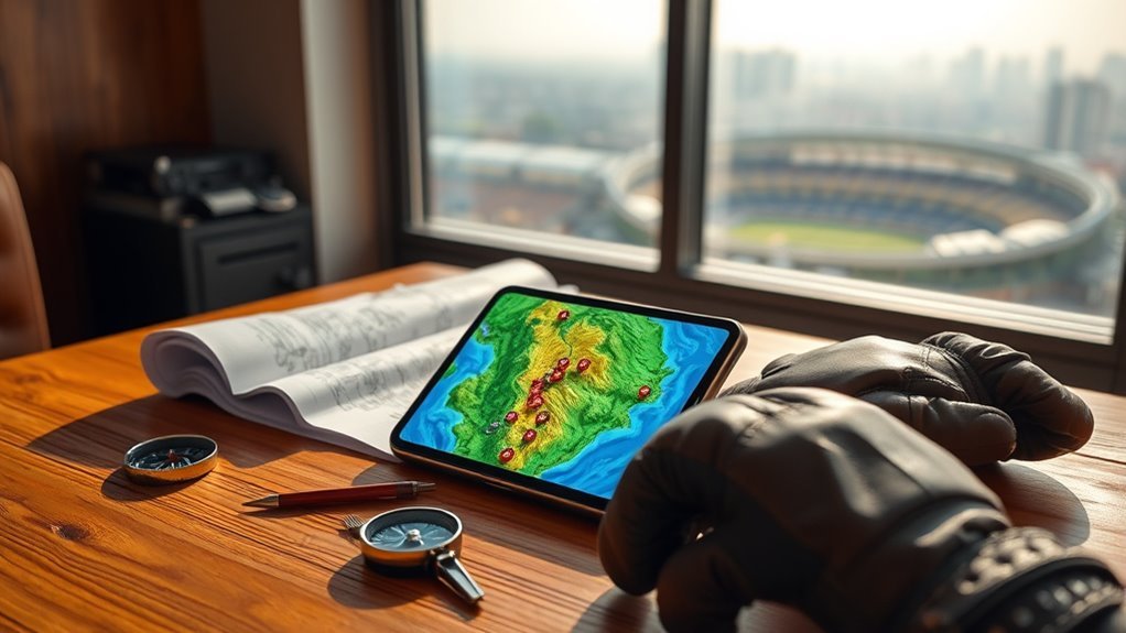
No-fly zone apps are airspace maps for drone pilots. You search a location or move a pin, and the app tells you if flying there is allowed. The FAA says its B4UFLY service shows controlled airspace, special use airspace, airports, national parks, critical infrastructure, military training routes and temporary flight restrictions. It also gives a clear status indicator.
An app is a guide, not a legal shield. You are still responsible for following the rules where you fly.
Which Apps Show If You Can Fly?
The original B4UFLY app was built by Aloft in 2016 and ran under an FAA partnership until February 2024. Since then, the FAA has approved several companies to provide the B4UFLY service. The service is free to the public. These are the providers on the FAA page:
| Provider | Where it works |
|---|---|
| Airspace Link | iOS, Android and desktop |
| Aloft | iOS, Android and desktop |
| AutoPylot | iOS, Android and desktop |
| Avision | iOS, Android and desktop |
| FlightLoop | Desktop only |
| UASidekick | iOS, Android and desktop |
They all use FAA data, so pick the one with the layout you like best. Each of these companies is also an FAA-approved LAANC provider.
LAANC: Getting Permission Near Airports
LAANC stands for Low Altitude Authorization and Notification Capability. It lets you ask for fast, near real-time permission to fly below 400 feet in controlled airspace around airports.
- Recreational flyers must register their drone and pass the free TRUST safety test first.
- Part 107 commercial pilots need a Remote Pilot Certificate.
- You request permission through an FAA-approved LAANC provider app, not through the FAA directly.
- Only airports that take part in LAANC are covered.
FAA UAS Data Delivery System
The FAA UAS Data Delivery System, or UDDS, is the FAA’s open data site for drone-related map data. The FAA says it feeds data to LAANC and B4UFLY. Most pilots do not need it. It is useful if you want to view or download the raw map data yourself.
Drone Maker Apps and GEO Zones
Some drone makers build their own geofencing zones into their flight apps. DJI calls its system GEO. These zones can warn you or limit flight near airports and other sensitive places. They are a helpful extra check, but they do not replace FAA-approved sources. They may not match FAA rules at a given spot.
Rules That Apps Do Not Cover
- Temporary flight restrictions (TFRs): These change often. Check them right before you fly.
- National parks: Most US national parks do not allow drones to take off or land. Ask the park before you go.
- Washington, D.C.: The city sits inside a Special Flight Rules Area with strict limits.
- Local rules: Cities, states and property owners can have their own drone rules.
- Basic FAA rules: Register drones over 250 grams (0.55 lb), keep Remote ID on where required, stay at or below 400 feet above ground, and keep your drone in sight.
How to Check Before Every Flight
- Open a B4UFLY provider app and search your exact flight spot.
- Read the status indicator and the map layers.
- Look for temporary flight restrictions for your flight time.
- If you are in controlled airspace near an airport, request LAANC permission first.
- Check local and park rules.
- If anything is unclear, do not fly.
Frequently Asked Questions
What App Can I Use to Find Drone Flying Zones?
Use a B4UFLY provider such as Aloft, Airspace Link, AutoPylot, Avision, FlightLoop or UASidekick. They show airspace, airports and flight restrictions on a map.
Is B4UFLY Still Available?
Yes, but not as one single FAA app. The original app ended its FAA partnership in February 2024. The B4UFLY service now runs through FAA-approved providers.
Do I Need LAANC to Fly a Drone?
You need it only if you want to fly in controlled airspace near an airport. A B4UFLY map will show if your spot is in that airspace.
Can an App Be Wrong?
Yes. Rules and temporary restrictions can change fast, and apps do not cover every local rule. Check more than one source if you are unsure.
Conclusion
Use a B4UFLY provider app to check your spot, LAANC to get permission near airports, and local sources for park and city rules. Check again on the day you fly.
Last checked: October 2026. FAA services and app availability can change.
