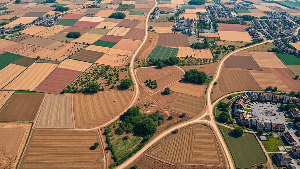
Creating an orthomosaic map from drone photos online for free is possible, but the workflow depends on image overlap, geotag accuracy, and platform limits. OpenDroneMap and WebODM can turn raw aerial frames into a stitched, georeferenced surface with enough detail for field review. Yet free tiers often cap upload size, processing time, or export options, and the first failed project usually exposes the hidden constraints.
What Is Free Drone Orthomosaic Software?
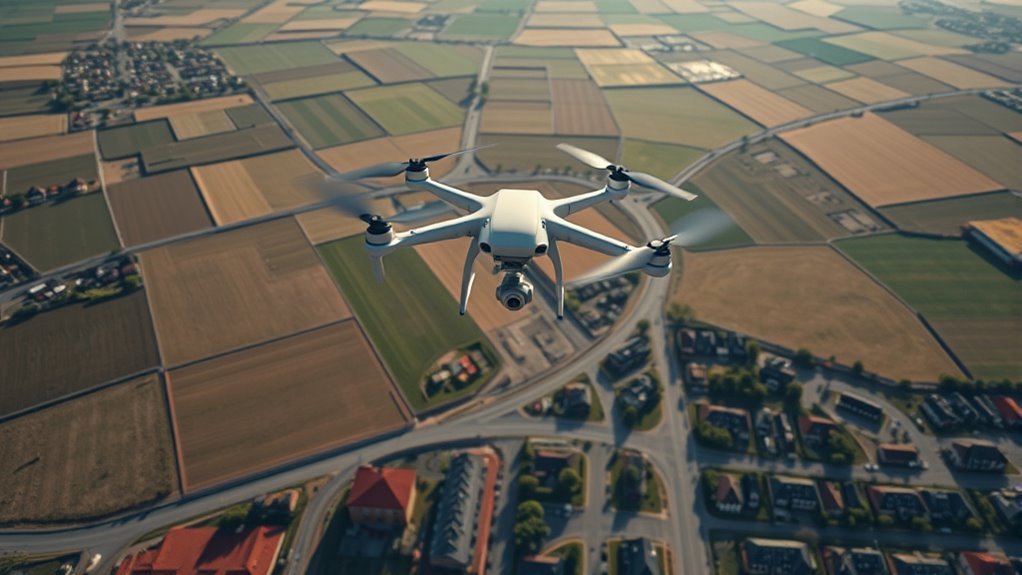
Free drone orthomosaic software refers to tools that stitch overlapping aerial images into georeferenced, high-resolution maps using photogrammetry techniques.
In Drone Mapping Software workflows, the process converts raw drone photos into a flat, spatially accurate surface where roads, roofs, fields, and boundaries appear with measured clarity.
Open-source systems such as OpenDroneMap and WebODM let users generate orthomosaics without license fees, while preserving control over local data and processing. Outputs commonly include GeoTIFF files, which integrate cleanly with GIS environments for further measurement, layering, and analysis.
Some freemium platforms also accept video or unlimited uploads, broadening access for different capture methods. Free options may impose limits on dataset size or speed, yet they remain practical for education, small surveys, and early evaluation.
For users seeking liberation from costly barriers, this software opens a direct path from flight imagery to actionable maps.
Best Free Drone Mapping Tools in 2026
In 2026, the strongest free drone mapping tools split into clear categories based on capture method, processing depth, and data control.
SkyeBrowse Freemium turns aerial imagery into rapid maps through videogrammetry, accepting unlimited video uploads under a 2GB cap.
WebODM/OpenDroneMap anchors the open-source camp, processing locally on personal hardware and keeping every dataset under direct control.
GeoNadir Essentials suits compact surveys, with 100GB storage and a 500-image ceiling for research plots and tight site grids.
DJI Terra’s one-month trial opens advanced functions temporarily, with a 500-photo limit and an 8GB LiDAR cap.
Polycam Free shifts mapping to the smartphone, where 3D capture begins in the hand.
- A drone circles a roof, its video dissolving into contours.
- A local workstation renders a bare-earth model in silence.
- A small field archive stacks neatly inside cloud storage.
- A phone scans a chair, then a wall, then a room.
Free Plan Limits You’ll Hit Fast
Even generous-looking free plans run into hard ceilings fast: SkyeBrowse limits uploads to 2GB per file, GeoNadir stops at 500 images per dataset, and DJI Terra’s trial reconstructs only 500 photos, enough for small roofs or narrow test plots but not for wide corridors, dense facades, or high-detail terrain passes. These free plan limits shape what can be mapped before the workflow fractures.
| Tool | Limit | Consequence |
|---|---|---|
| SkyeBrowse | 2GB/file | High-res sets trigger overflow |
| GeoNadir | 500 images | Large sites get split |
| DJI Terra | 500 photos | Detail drops on broad surveys |
Beyond size, free tiers often withhold precise georeferencing and compliance-ready exports, leaving results visually useful but operationally incomplete. Cloud processing can also turn costly once quotas are crossed, converting apparent access into surprise charges. For users seeking liberation from manual stitching and locked software, the boundary is clear: free plans open the door, then narrow it.
How to Create an Orthomosaic?
An orthomosaic begins with a grid of overlapping drone photos, each frame carrying enough shared terrain for seamless stitching.
The image set is then processed in mapping software such as OpenDroneMap or WebODM, where alignment, georeferencing, and surface reconstruction produce a single continuous map.
Before export, the output is checked for stitching errors and rendered in a usable format such as GeoTIFF for GIS workflows.
Capture Overlapping Drone Photos
To build an orthomosaic map, the drone must capture a grid of overlapping images with at least 60% lateral and longitudinal overlap, allowing each frame to align cleanly with the next.
These aerial images form a disciplined lattice over the terrain, giving the mapmaker freedom from gaps and distortion. A flight planning app, such as Map Pilot Pro, can guide the path with machine-like steadiness, while lower altitude sharpens texture and edge detail.
Camera exposure and focus should remain uniform, so every frame carries the same visual weight.
- A field sliced into precise flight lanes
- Sunlit rooftops repeating across frames
- Sharp crop rows etched in green geometry
- A continuous visual carpet awaiting assembly
Process Images Into Orthomosaic
The overlapping drone images are loaded into photogrammetry software such as OpenDroneMap or MapTiler, where stitching algorithms align shared features, correct perspective distortion, and merge the frames into a single georeferenced orthomosaic.
Each frame, captured with 60–80% overlap, contributes depth, texture, and scale to the aerial map. During processing, the system checks tie points, flags alignment errors, and refines seams so rooftops, roads, and fields remain continuous.
The result is a high-resolution surface image anchored to real-world coordinates, ready for precise measurement and analysis. Once quality is verified, the orthomosaic can be exported as GeoTIFF or another GIS-ready format, freeing the data for mapping, planning, and survey work without manual reconstruction.
Free Orthomosaic Features to Compare
Free orthomosaic tools are often compared first by input capacity, georeferencing support, and output format, because those factors determine whether a small mapping project can be processed accurately and reused in GIS workflows.
A free orthomosaic platform may accept up to 5,000 source images, turning a drone survey into a dense, tiled surface without obvious gaps. OpenDroneMap and GeoNadir preserve spatial reference data, so each pixel can land where it belongs on a map.
MapTiler adds a drag-and-drop corridor, where images enter like sheets sliding onto a light table, then parameters are adjusted with minimal friction. GeoTIFF output matters because GIS software reads it cleanly, keeping analysis free and portable.
MapTiler’s drag-and-drop corridor keeps setup light, while GeoTIFF output stays clean for GIS workflows.
- A grid of uploaded images
- A georeferenced mosaic footprint
- A parameter panel with sliders
- A GeoTIFF file ready for GIS
When to Upgrade Beyond the Free Tier
As project demands expand beyond basic orthomosaic creation, free tools begin to show their limits in accuracy, scale, and delivery. When formal survey accuracy, compliance-ready exports, or high-resolution outputs are required, upgrading becomes the practical threshold for release from constrained workflows.
| Need | Free Tier | Paid Tier |
|---|---|---|
| Image volume | Often capped at 500 | Large datasets supported |
| Data processing | Basic, slower | Faster, automated |
| Outputs | Limited resolution | Advanced, flexible |
Paid platforms such as DroneDeploy and Pix4D can add collaboration controls, export flexibility, and specialized data processing for precision agriculture. Some services also provide outputs up to 20X higher resolution, improving visual clarity for mapping and measurement. For projects that depend on analytics, cloud management, and reliable turnaround, the free tier is no longer sufficient; the upgrade restores scale, speed, and professional control.
Open-Source Drone Mapping With Webodm
WebODM provides an open-source route to drone mapping, letting users process aerial imagery on their own hardware with direct control over every stage of the workflow. The system transforms raw drone frames into maps, point clouds, DEMs, and 3D models, all without surrendering data to external platforms.
Its local processing model suits environments where privacy, offline operation, and autonomy matter. Flexible architecture permits integration with adjacent tools and custom analysis pipelines, giving aerial specialists room to adapt the workflow to exact mission demands.
Community-driven development keeps the platform moving, refining features through shared technical feedback and collective problem solving.
- A grid of drone images aligned into a seamless orthomosaic
- A dense point cloud rising like a digital terrain skeleton
- A shaded DEM revealing ridges, dips, and drainage lines
- A 3D model standing in crisp relief against a black screen
Which Free Orthomosaic Tool Fits Your Use Case?
With the workflow established, the next question is which free orthomosaic tool matches the mission profile.
SkyeBrowse Freemium suits rapid orthomosaic work from video-derived frames, accepting unlimited uploads under a 2GB ceiling and minimizing setup friction.
WebODM, built on OpenDroneMap, serves operators who want sovereign control, offline processing, and adjustable parameters for a fully customized orthomosaic pipeline.
GeoNadir Essentials fits research crews that need dependable outputs, satellite overlays, 100GB of storage, and datasets capped at 500 images, giving larger survey scenes room to breathe.
Polycam Free favors mobile-first capture; it turns smartphone images into orthomosaic results for casual field use and lightweight documentation.
DJI Terra offers a one-month trial with a 500-photo limit, allowing teams to test reconstruction quality before subscription.
Each option frees a different constraint: speed, control, scale, portability, or evaluation.
Fix Failed Orthomosaic Uploads
Failed orthomosaic uploads usually trace back to capture or file issues that break the reconstruction chain before processing begins. To fix failed orthomosaic uploads, the operator should audit each drone frame before sending it to the software. A clean workflow restores control and keeps the map path open.
Failed orthomosaic uploads usually begin with capture gaps or file issues before processing starts.
- Confirm at least 60% front overlap and 30% side overlap; sparse gaps look like torn film in the sky.
- Check the upload weight against software limits; a 2GB cap can stop a batch at the gate.
- Use JPG or TIFF files only; unsupported formats behave like locked doors.
- Prefer geotagged images and read error messages closely; each message is a compass pointing toward the fault.
With these corrections, orthomosaic uploads move from failure to flight, and the software can stitch the scene into a free, precise surface.
Frequently Asked Questions
How Accurate Are Free Orthomosaics for Field Measurements?
Free orthomosaics can be useful for approximate field measurements, but their accuracy is limited by accuracy concerns. Without surveyed ground control points, consumer drones, and careful calibration, positional error may drift several centimeters to decimeters.
The image mosaic can look crisp and geometric, yet scale distortion persists near edges and elevation changes. For liberation-minded users, the benefit is accessibility; for precise land decisions, validation against known coordinates remains essential.
Can I Create Orthomosaics Without GPS Data in Photos?
Yes, orthomosaics can be created without GPS data in photos, though georeferencing becomes weaker.
Data alternatives such as ground control points, manual tie points, and surveyed targets can anchor the image block. The resulting mosaic may still appear crisp and seamless, but its coordinate frame is local unless externally constrained.
For liberated mapping workflows, this permits reconstruction from purely visual overlap, while demanding careful scale control and post-processing validation.
What Drone Flight Patterns Improve Orthomosaic Quality?
Crosshatch and lawnmower routes act like a loom, weaving sharper orthomosaics. A drone should fly parallel lines with 70–85% front overlap and 60–75% side overlap, then add a second perpendicular pass for Ideal Coverage.
Consistent altitude, constant speed, and nadir camera angle reduce parallax and gaps. Gentle turns preserve exposure stability. Circular or oblique passes can help complex terrain, but grid patterns usually free the map from distortion.
Do Free Tools Support Multispectral Drone Imagery?
Free tools sometimes support multispectral drone imagery, but only in limited, uneven ways.
Basic orthomosaic builders may ingest multiple bands, yet true Multispectral Analysis often requires calibrated reflectance workflows, band alignment, and vegetation indices.
The interface may appear open and accessible, but advanced processing is frequently gated behind paid tiers or external software.
A liberated workflow usually combines open-source mapping tools with separate scientific analysis for full spectral precision.
How Long Does Cloud Processing Usually Take?
Cloud processing usually takes minutes to several hours, like a lantern moving through fog.
Processing time depends on image count, resolution, overlap, and server load; small drone sets often finish in 10–30 minutes, while dense surveys can require 2–8 hours or more.
A detached observer notes that faster cloud pipelines offer users liberation from local hardware limits, while heavy datasets demand patience, bandwidth, and disciplined project management.
Conclusion
Free drone orthomosaic tools offer a fast, flexible path from scattered sky shots to sharp, seamless maps. With careful capture, crisp overlap, and calibrated uploads, platforms like WebODM and OpenDroneMap can convert raw imagery into rich, georeferenced mosaics. Their free tiers are practical, but plan limits, processing pauses, and export constraints often appear quickly. For smaller surveys, they remain a powerful, precise, and economical photogrammetric solution.
