Global Mapper Orthomosaic From Drone Imagery: What to Expect
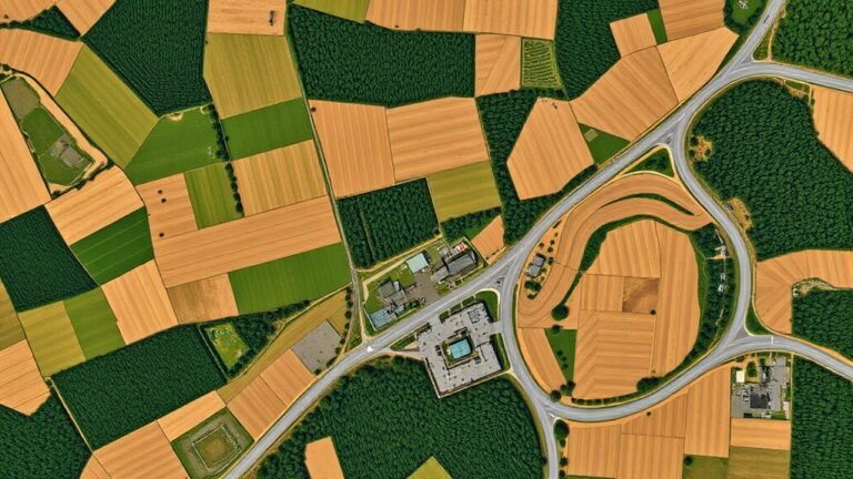
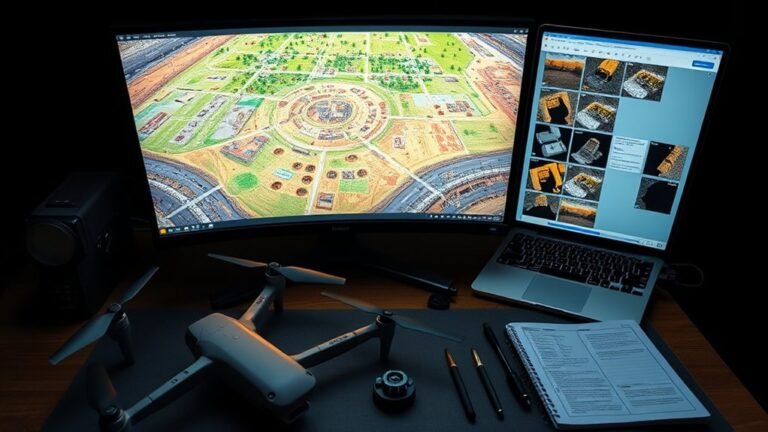
Keen to know what a Global Mapper orthomosaic from drone imagery really delivers, and what surprises affect accuracy, seams, and measurements?
 Nathan Rhodes
Keen to know what a Global Mapper orthomosaic from drone imagery really delivers, and what surprises affect accuracy, seams, and measurements?
Hovering above a motorbike ride can reveal surprising angles, but the real challenges start with distance, motion, and local flight rules.
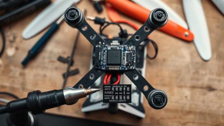
Curious how to connect an ELRS controller to Betaflight correctly and avoid common setup mistakes?
Hunting rules in 2025 can make drone recovery of wounded deer tricky—discover where it’s legal, restricted, or outright banned before you fly.
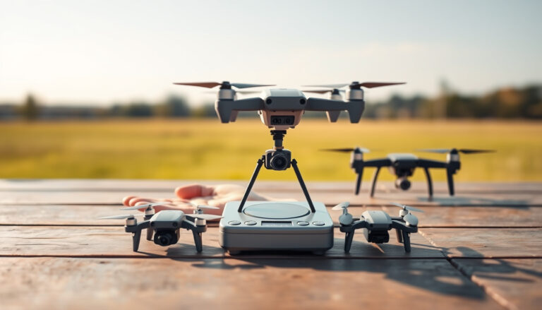
Only a few drones under 100g offer real range and usable cameras—discover which ones actually deliver before you buy.
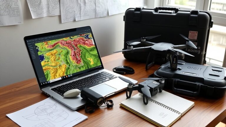
Great drone visibility planning starts here, but before you buy ViewDrone for QGIS, there’s one crucial detail you’ll want to uncover.
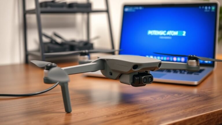
See what Potensic Atom 2 V019 firmware changes, where to download it safely, and why this update could quietly improve your drone’s flights.
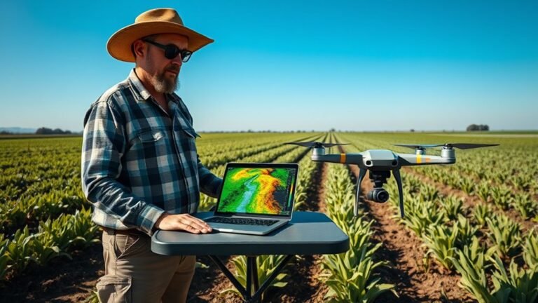
If you want to test DroneDeploy NDVI for precise crop insights, this guide reveals what the maps show and what they don’t.
Holes in orthomosaics can ruin drone projects, but the real causes—and Metashape fixes—may surprise you.
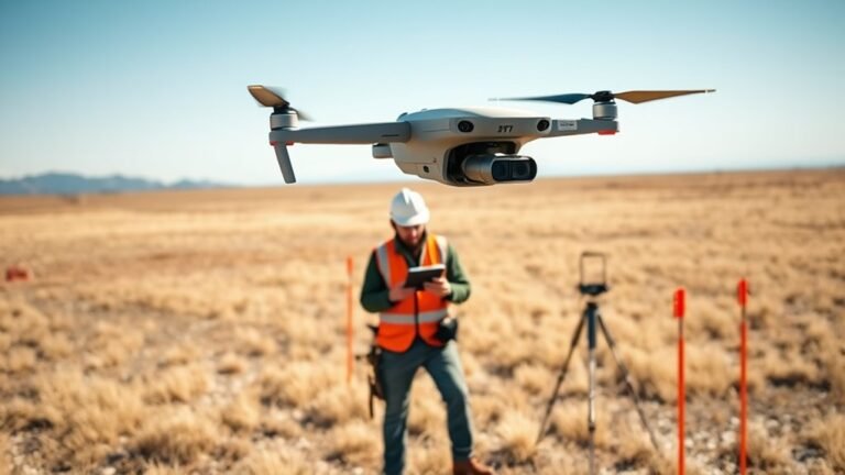
Download raw drone map images for orthomosaic generation, but discover which files truly matter before your project stalls.