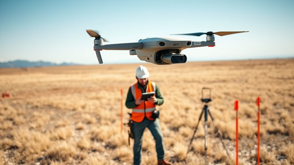
Raw drone map images are the starting point for orthomosaic generation, but not every dataset is equally useful. A reliable workflow depends on geo-tagged photos, consistent overlap, and supporting files such as GCP records and flight metadata. The challenge is often not in processing, but in choosing the right source and preparing it correctly. Several datasets and platforms can meet that need, yet the differences matter more than they first appear.
What Are Raw Drone Map Images?
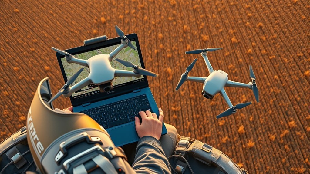
Raw drone map images are unprocessed aerial photographs captured by drones, typically stored in formats such as TIFF or JPEG, and used as the source data for generating orthomosaics and digital elevation models. These raw drone map images preserve scene geometry before correction, making them indispensable for accurate spatial reconstruction.
Embedded EXIF geo-tags usually provide coordinates, altitude, and capture parameters, enabling georeferencing during processing. High resolution is preferred because finer pixel detail supports precise feature extraction, while multispectral payloads, including RGB and NIR bands, extend analytical capability across land cover and crop conditions.
Ground control points may be introduced to further constrain positional error and strengthen map fidelity. After acquisition, specialized software such as REMOTE EXPERT or OpenDroneMap transforms the images into orthomosaics, surface models, and other mapping outputs.
In this workflow, access to unaltered imagery supports transparent measurement and practical autonomy.
Where to Download Drone Map Images
Repositories for raw drone map imagery are available through specialized UAV data platforms such as DroneMapper, which hosts downloadable datasets from multiple regions and use cases. These repositories provide original geo-tagged aerial images suitable for orthomosaic generation and related spatial analysis.
Typical downloads include complete image sets, ground control point files, and accompanying metadata, enabling users to reconstruct maps with local control rather than dependence on proprietary outputs. For example, the Greg 1 and 2 Reservoir surveys supply about 189 Phantom 3 Advanced images with GCP data, while the Back 9 Golf Course survey offers 664 high-resolution frames for volumetric and topographic work.
Precision agriculture collections from Switzerland include 101 images and NDVI layers in 16-bit TIFF format. Access to such datasets supports technical self-determination, allowing practitioners to inspect source imagery, test processing workflows, and build customized orthomosaics without restriction.
How to Choose the Best Orthomosaic Dataset
Selecting the best orthomosaic dataset begins with image quality and spatial fidelity: a high Ground Sample Distance, ideally 3.7 cm or less for precision agriculture, improves map detail and analytical usefulness.
In an aerial survey, georeferenced images with embedded EXIF geo-tags are essential, because they preserve positional truth and support direct GIS integration.
Dataset volume also matters; a larger image set, such as 664 frames, generally increases overlap, terrain coverage, and model reliability.
The presence of processed outputs, including DEM and DSM files, extends analysis beyond visual inspection into elevation and surface characterization.
Equally important, the dataset should retain original imagery alongside derived products, enabling independent review, reprocessing, and methodological freedom.
A well-structured dataset consequently combines dense coverage, precise metadata, and multi-layer outputs, allowing operators to select evidence rather than assumption.
How to Prep Raw Drone Images for Processing
Raw drone images should be captured with consistent altitude and overlap, and retained in high-resolution TIFF or JPG formats to support reliable stitching and model generation.
Files should then be organized by date and location to streamline the processing workflow.
Finally, embedded EXIF geotags and ground control points should be verified to guarantee accurate georeferencing and alignment.
Image Capture Settings
To prepare drone imagery for processing, capture settings should be configured for consistency and geospatial accuracy from the outset.
For liberation in image processing, each flight should preserve measurable structure and radiometric integrity.
- Maintain 70–80% overlap between adjacent frames to support seamless orthomosaic stitching.
- Use a high-resolution sensor, such as the MicaSense Altum, to record Red, Green, Blue, NIR, and RedEdge bands for deeper analytical freedom.
- Hold altitude constant so Ground Sampling Distance remains uniform, ideally 3–6 cm, improving detail and comparability.
- Enable GPS tagging and save imagery in RAW or TIFF format to retain location metadata, dynamic range, and maximal post-processing latitude.
File Organization Basics
Once capture settings are fixed, the next step is imposing a strict file structure before processing begins.
In file organization basics, raw drone images are sorted by date, location, and mission so data collection remains traceable and efficient. Each folder should reflect one flight path or survey area, preserving spatial continuity for software that builds orthomosaics and DEMs.
File names benefit from a consistent pattern, such as date plus flight number, because predictable labels reduce manual sorting and confusion.
Original images should be backed up before any edits, maintaining an untouched reference for recovery or reprocessing.
This disciplined arrangement supports faster access, cleaner workflows, and more autonomous handling of large image sets, without dependence on improvised storage habits.
Metadata And Gps Tags
Metadata and GPS tags should be verified before any processing begins, because embedded EXIF coordinates enable accurate georeferencing during orthomosaic generation.
Each image’s metadata must remain intact, especially when files are transferred, renamed, or archived. The original TIF format should be preserved, since it retains image fidelity and processing metadata for REMOTE EXPERT and similar platforms. A disciplined workflow also supports broader spatial independence.
- Confirm GPS tags exist in every file.
- Validate EXIF metadata against flight logs.
- Retain calibrated reflectance panel images for color correction.
- Record GCPs with a high-precision device such as the Trimble 5800.
With verified metadata, sufficient overlap, and precise ground control, raw drone imagery can move toward liberated, reliable orthomosaic production without avoidable error.
How to Build an Orthomosaic From Raw Images
Raw drone images are first aligned through photogrammetric software, which matches overlapping features and uses geotags and ground control points to establish a georeferenced model.
With sufficient overlap and accurate camera data, the software can assemble the aligned frames into a continuous orthomosaic.
The final mosaic is then exported, typically as a GeoTIFF, for use in GIS and mapping workflows.
Image Alignment
Building an orthomosaic from drone imagery begins with accurate image alignment, which depends on sufficient flight overlap, typically 60–80%, so adjacent frames share enough common features for stitching.
Effective image alignment also benefits from geotagged capture and calibrated sensors, allowing software such as REMOTE EXPERT or WebODM to place each frame with disciplined spatial logic.
- Verify overlap before processing.
- Load images with EXIF geo-tags.
- Add GCPs when available.
- Calibrate multispectral data consistently.
These steps strengthen the geometric fit between images and reduce distortion.
After alignment, operators should inspect the mosaic for seams, shifts, or warped edges and correct defects with built-in editing tools.
Such methodical control supports a liberated workflow: raw imagery becomes an accurate spatial record without dependence on rigid manual drafting.
Mosaic Export
Once alignment is complete, the workflow advances to mosaic export, where georeferenced images with embedded EXIF geo-tags are stitched in software such as REMOTE EXPERT or WebODM into a single orthomosaic.
This mosaic export stage depends on disciplined overlap management, accurate camera metadata, and, when available, ground control points that anchor the model to real-world coordinates.
Drone Mapping software should preserve spatial integrity while blending tiles into a seamless surface. For liberated field analysis, the output must be precise enough for mapping, surveying, and site planning.
A Ground Sampling Distance near 3–6 cm is suitable for high-resolution deliverables, depending on mission requirements.
The final orthomosaic is typically exported as GeoTIFF so geospatial information remains intact for GIS workflows and downstream inspection.
How to Fix Common Orthomosaic Problems
Common orthomosaic failures usually trace back to capture, calibration, or processing constraints, and each can be addressed systematically. A disciplined workflow preserves analytical freedom and reduces downstream correction.
- Verify overlap: maintain at least 60-80% frontal and lateral coverage so image edges align without gaps or warping.
- Add Ground Control Points: place them across the project area to improve georeferencing, especially where terrain varies or scale is large.
- Normalize radiometry: set exposure and white balance before flight to keep lighting consistent and limit color seams between tiles.
- Segment processing: run images in batches, not as a single load, to reduce memory pressure and avoid crashes during generation.
Software discipline matters as well. Updating processing libraries and orthomosaic tools can resolve known bugs and improve stitching performance.
When these controls are applied together, the mosaic becomes more accurate, stable, and usable for mapping tasks.
Best Free Drone Mapping Datasets
Numerous free drone mapping datasets are available for download and support tasks ranging from orthomosaic generation to point cloud and DEM production. Many aerial image sets come from UAV platforms such as the Phantom 3 Advanced and PrecisionHawk, with geo-tagged files that strengthen georeferencing and reduce manual alignment.
Open-source repositories tied to WebODM and OpenDroneMap supply raw collections that can be processed without subscriptions, enabling open access to orthomosaic, point cloud, and elevation workflows. SkyeBrowse Freemium accepts unlimited videogrammetry uploads, offering rapid turnaround for users who prefer fewer setup barriers.
GeoNadir Essentials provides 100GB of storage and limits each dataset to 500 images, a practical balance for controlled analysis. These datasets support precision agriculture, topographic surveying, and heritage documentation, giving practitioners real-world material for testing methods, validating outputs, and advancing mapping work with greater autonomy and technical confidence.
Best Software for Orthomosaic Processing
Selecting the right orthomosaic processing software depends on workflow requirements, hardware capacity, and the desired level of output control. For teams seeking autonomy, open-source and local options preserve control over raw drone imagery and derived products.
Key choices include:
- OpenDroneMap, a free processing software suite for orthomosaics, point clouds, and geospatial outputs.
- Pix4D, suited to automated production with advanced editing and strong output quality.
- DroneDeploy, a cloud platform optimized for rapid processing and real-time collaboration.
- Agisoft Metashape, preferred when high precision and broad image-format support are required.
WebODM extends ODM locally, enabling on-premises processing for users who reject cloud dependence and want direct authority over data.
Selection should consider project scale, licensing, computational load, and the need for manual refinement. In practice, the best processing software is the one that aligns technical capability with operational freedom, while maintaining reproducible orthomosaic generation from downloaded raw drone map imagery.
Frequently Asked Questions
What Is the Best Free Software for Drone Mapping?
WebODM/OpenDroneMap is the strongest free option for drone mapping. It supports advanced Mapping Techniques, runs locally, and avoids vendor lock-in, giving users full control over data and processing.
For quick uploads, SkyeBrowse Freemium is practical, but its 2GB cap limits larger missions. GeoNadir Essentials suits small datasets.
A technically minded user seeking freedom, offline operation, and reliable orthomosaic workflows would generally prefer WebODM/OpenDroneMap.
Is Open Drone Map Free?
Yes—Open Drone Map is free. In a field where commercial drone-mapping suites can cost hundreds to thousands of dollars annually, its zero-license model offers clear Cost Comparison advantages.
The software is open-source, community maintained, and available for local or cloud deployment. This makes it technically practical, methodical, and accessible for users seeking liberation from subscription dependency while still producing orthomosaics, point clouds, and 3D models.
How to Merge Drone Images?
Drone images are merged through Image Stitching software that aligns overlapping photos using GPS metadata and visual features.
The process usually starts with georeferenced, 60–80% overlapping TIFF images, then imports them into tools such as OpenDroneMap or DroneDeploy.
The software reconstructs a unified orthomosaic, after which accuracy is verified against ground control points.
This method enables autonomous mapping, reducing dependence on proprietary workflows and supporting open, liberated geospatial production.
Is There Any Open Source Software for Drone Mapping?
Yes. Open-source drone mapping software exists, especially WebODM and OpenDroneMap. They enable local or self-hosted Data Processing of aerial imagery, producing orthomosaics, point clouds, DEMs, and 3D models without subscription dependence.
Their modular workflows support precise parameter control, format compatibility, and georeferenced outputs. Community-driven development and documentation reduce barriers to adoption, giving users technical autonomy and a practical path toward liberated, independent mapping operations.
Conclusion
To summarize, successful orthomosaic generation depends on selecting suitable raw drone map images, verifying metadata, and preparing files with precision. When datasets are properly downloaded, cleaned, and calibrated, processing becomes smoother and results become sharper. Careful control of ground control points, image quality, and software settings helps reduce stitching errors and geometric distortions. Ultimately, a disciplined, data-driven workflow delivers dependable, detailed orthomosaics for mapping, measurement, and monitoring applications.
