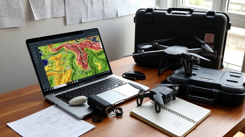
ViewDrone is a QGIS plugin for drone viewshed analysis, useful for planning visibility from fixed observer heights over a DSM. It requires QGIS 3.0 to 3.99, matching CRS across layers, a clean and current DSM, and a bounded analysis polygon. Range and grid size affect accuracy and processing time. Output quality depends on input data, and elevated structures can distort results. It is best suited to disciplined, map-driven mission assessment, with more detail ahead.
Key Takeaways
- ViewDrone is a QGIS plugin for viewshed analysis in drone mission planning, not a general-purpose mapping tool.
- It requires a current, clean Digital Surface Model and matching CRS across all layers for accurate results.
- Analysis extent is controlled by a polygon, while observer and target heights must be set as fixed values.
- Visibility outputs depend heavily on input quality, grid size, and range settings, which affect detail and processing time.
- Verify DSMs against orthophotos or satellite imagery, because elevated structures can distort viewshed calculations.
What ViewDrone Does for Drone Mission Planning
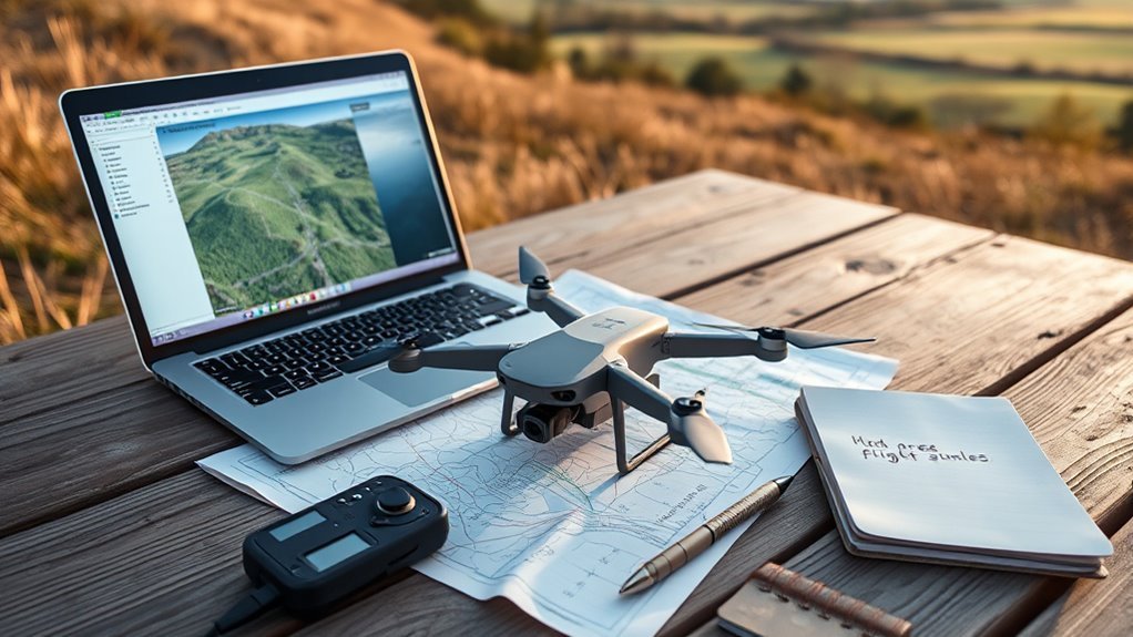
ViewDrone performs viewshed analysis to support drone mission planning by calculating visibility from specified observer heights toward target locations. The tool converts terrain and surface data into visibility maps that show where a drone can collect usable line-of-sight information, strengthening drone mapping workflows.
Its analytical focus helps planners evaluate whether a mission can reveal crops, infrastructure, or environmental conditions from a chosen vantage point before flight. By modeling target height, observer height, and range, it quantifies what is visible and what remains obscured, reducing wasted sorties and improving operational judgment.
Developed by the Technical University of Denmark and Niras Mapping and GIS, ViewDrone is positioned as a practical planning instrument rather than a decorative add-on. In applications such as agriculture and environmental assessment, the output supports disciplined, evidence-based decisions and more efficient use of aerial labor.
ViewDrone Compatibility and Input Requirements
Compatible with QGIS versions 3.0.0 through 3.99.0, the plugin can be deployed across a wide software range without major version constraints. For a drone pilot seeking operational freedom, the main requirement is disciplined input preparation. A Digital Surface Model, an analysis polygon, observer height, target height, and consistent CRS must be supplied. Drone type and size can alter height selection, affecting viewshed fidelity.
| Input | Requirement | Impact |
|---|---|---|
| DSM | Mandatory raster | Defines terrain and obstacles |
| Polygon area | Mandatory boundary | Limits the analysis extent |
| CRS match | Same across layers | Prevents spatial mismatch |
| Parameter | Requirement | Impact |
| Observer height | Fixed value | Anchors visibility origin |
| Target height | Fixed value | Anchors visibility endpoint |
| Grid size | Chosen by scale | Balances speed and resolution |
Smaller grids improve detail but increase processing time; larger areas benefit from coarser grids.
Set Up DSM, CRS, and Range
With the input requirements established, the next step is to configure the Digital Surface Model, coordinate system, and analysis range so the visibility model can run accurately. The DSM should be current, clean, and representative of the surveyed terrain, because drone flights depend on terrain realism for credible line-of-sight results.
All layers must use one CRS; mismatched projections can distort geometry and undermine analytical freedom. The range setting should match mission objectives and be expressed in meters, defining the observer’s effective viewing distance.
- Validate the DSM against the project area.
- Confirm every layer shares the same CRS.
- Set the range to the required meter value.
- Tune observer and target heights, then adjust grid size to balance detail and computation.
Smaller grids sharpen visibility patterns, while larger polygons may warrant coarser grids for efficiency.
ViewDrone Outputs and Key Limitations
The plugin produces visibility maps from the configured DSM, polygon area, observer and target heights, and range, giving drone planners a spatial basis for mission assessment. Version 0.3, released on 20 November 2023, supports QGIS 3.0.0 to 3.99.0 and delivers outputs suited to routine spatial analysis.
Its main value lies in translating terrain and built form into line-of-sight information for drone operations, exposing where visibility exists or is obstructed. Yet the results remain conditional. DSMs derived from elevated structures can distort viewshed calculations, and any dataset that predates recent construction may omit critical barriers, producing misleading confidence.
Verification against current satellite imagery or orthophotos is consequently necessary. Output management also matters: repeated runs in the same folder can overwrite prior files, weakening traceability and project order.
The tool is analytical, not autonomous; its outputs reflect the quality, currency, and discipline of the inputs.
Should You Use ViewDrone for QGIS?
ViewDrone is worth using in QGIS when the task is to produce a structured viewshed analysis for drone mission planning, provided the input data are prepared correctly. The plugin suits users who need liberation from manual line-of-sight guessing, but it demands disciplined data handling across different layers.
- DSM must be current and verified against orthophotos or satellite imagery.
- Observer height and target height should reflect mission reality.
- All layers must share the same CRS, or reprojection is required.
- QGIS compatibility is strong from 3.0.0 to 3.99.0.
As an open-source tool from the Technical University of Denmark, maintained by Helena Walther Lange, it offers transparent methodology and permissive use under CC BY-SA 3.0.
Its visibility map is analytically useful, yet only as reliable as the underlying terrain model. For teams seeking reproducible, technically defensible planning, it is a sound choice; for casual users, its data requirements may be demanding.
Frequently Asked Questions
What Should I Know Before Buying a Drone?
Drone buyers should evaluate mission fit, GPS accuracy, battery endurance, software compatibility, and Drone Regulations. They must verify local certification requirements, then select models whose technical capabilities support autonomous, compliant, and liberated field operations efficiently.
What Is the Best Software for Drone Inspections?
WebODM emerges as the superior software for drone inspections, delivering orthophotos, DTMs, and point clouds. QGIS then sharpens spatial analysis, while DJIFlightPlanner supports compliant missions under Drone Regulations, enabling precise, liberated, technically robust workflows.
Do I Need to Pay for QGIS?
No, QGIS generally requires no payment; its License Requirements permit free download and use. Some optional plugins, datasets, or services may cost money, but the core platform remains open-source, community-supported, and unrestricted for users.
What Is the Best Software for Drone Mapping?
QGIS, paired with WebODM and DJIFlightPlanner, is often the strongest drone-mapping suite; it evokes the compass of modern cartography, maximizing Drone Accuracy, format interoperability, and user autonomy through open-source, analytical workflows.
Conclusion
In the end, ViewDrone appears less like a simple QGIS plugin and more like a sharply focused instrument with strict boundaries. It can dramatically streamline drone mission planning when DSM, CRS, and range inputs are correctly prepared, but it is unforgiving of poor data and incomplete assumptions. Its outputs are useful, yet not universal. For teams seeking precision, it may be indispensable; for others, it could feel like a highly specialized machine built for one exact world.