Real Estate Drone Photography: Shot List, Angles, Heights, and Settings
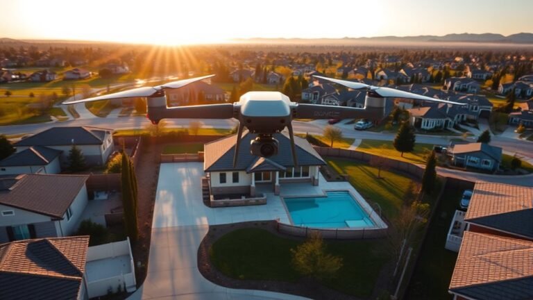
Unlock better real estate drone photos with the right shot list, angles, heights, and settings, and discover what transforms listings next.
Unlock better real estate drone photos with the right shot list, angles, heights, and settings, and discover what transforms listings next.
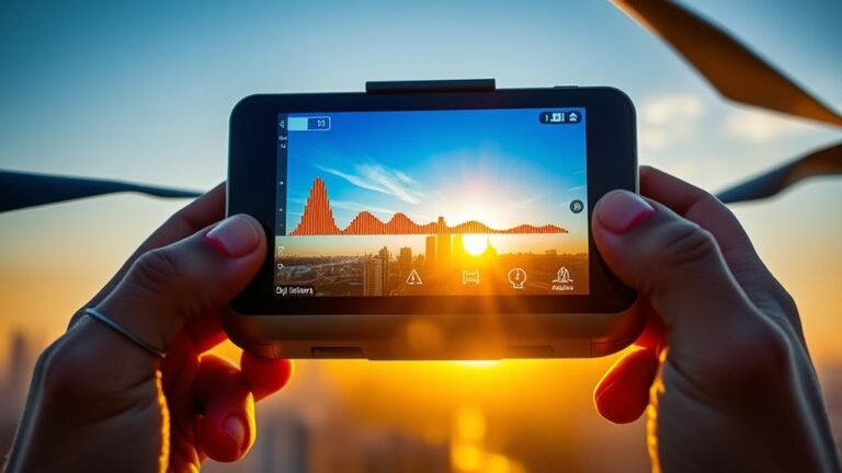
I explore DJI exposure tools—histograms, zebra stripes, and warnings—to show which one to trust, and which can still fool you.
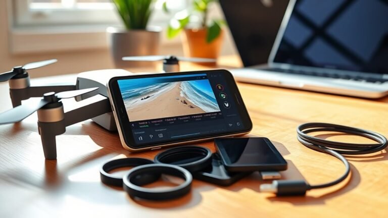
Great drone edits start on your phone, but one small tweak in LightCut, CapCut, or DJI Fly Editor can completely change the reveal.
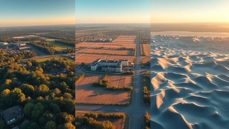
Learn which elevation model fits your drone project best before a small mistake skews slopes, drainage, or volumes.
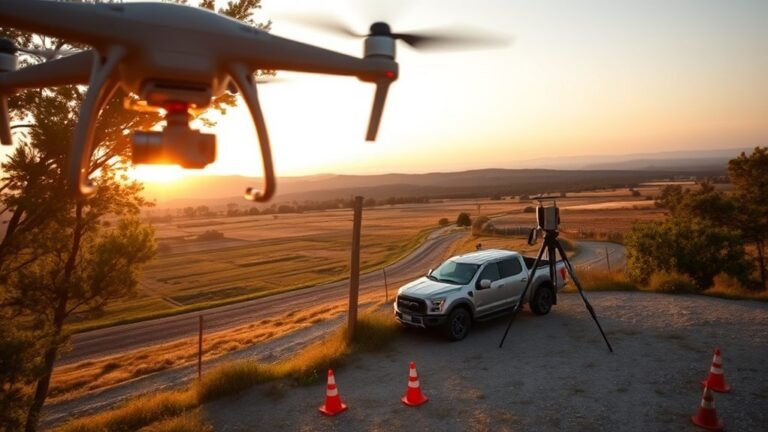
Map your drone’s ideal altitude for the accuracy you need, and discover how GSD, sensor size, and overlap change everything.
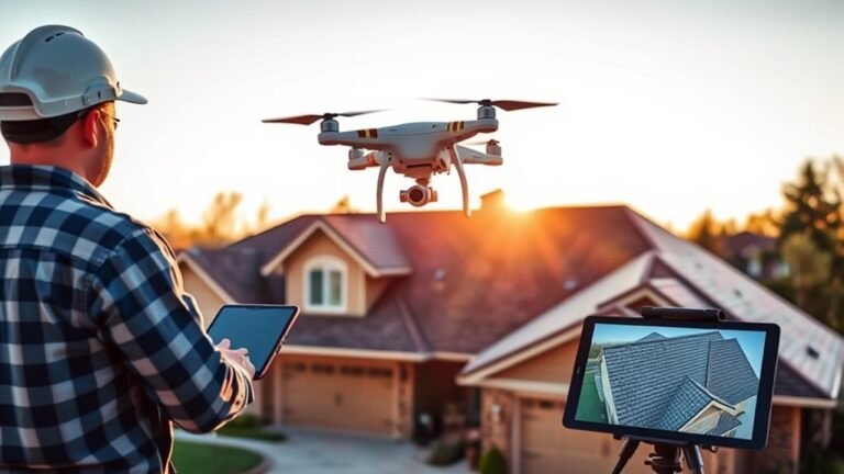
Measuring a roof with a drone can be remarkably precise, but the photogrammetry workflow hides a few critical steps most roofers overlook.
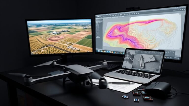
Discover how DroneDeploy exports can transform into AutoCAD and DXF files—and why some drone data still won’t behave as expected.
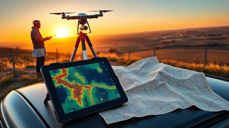
Different coordinate systems can quietly shift drone maps, but one export setting may be the hidden reason your orthomosaic never lines up.
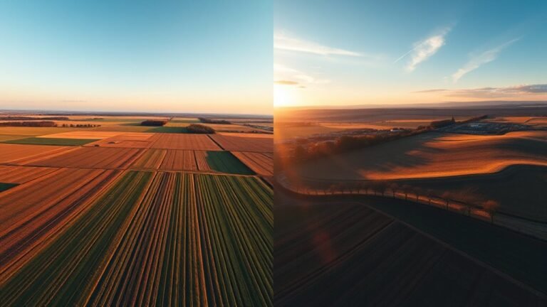
Both drone views reveal different truths, but only one combined workflow shows what your map or model is still missing.
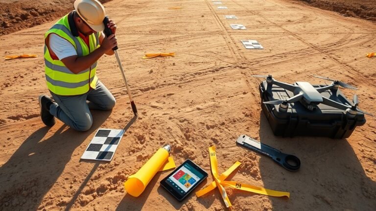
Ground control points anchor drone maps, but checkpoints reveal the truth—discover which one hides costly error and how to spot it.