
DroneDB can fit QGIS workflows well because it exposes geospatial assets through STAC, cloud-optimized links, and direct tile services. It supports rasters, point clouds, 3D models, vector layers, and geotagged media, including large datasets. Before buying, it is worth checking format compatibility, access controls, automation needs, and CLI support for repeatable imports. A trial can confirm performance and collaboration fit. The next details show how the integration works in practice.
Key Takeaways
- DroneDB works well with QGIS because it supports common geospatial formats and reduces conversion overhead.
- DroneDB connects to QGIS through STAC APIs, cloud-optimized URLs, and TMS tiles for direct layer access.
- It handles raster, vector, point cloud, and 3D data, including large datasets up to 40–50 GB.
- Use the DroneDB viewer and metadata tools to verify layers, inspect flight paths, and organize assets before importing.
- Before buying, test the 30-day trial, CLI automation, sharing permissions, and compatibility with your existing workflow.
Why Use Dronedb With QGIS
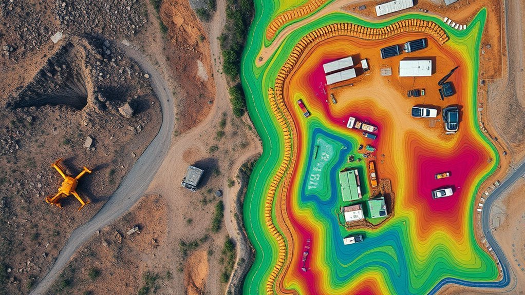
DroneDB streamlines QGIS workflows by supporting common geospatial formats such as GeoTIFF and GeoJSON, which can be directly analyzed and visualized in QGIS. This direct use in QGIS reduces conversion overhead and preserves data integrity.
Its cloud architecture helps users manage datasets at scale, limiting dependence on local storage while keeping geospatial data accessible for review and analysis. The platform also offers an interactive viewer directly in the browser, allowing verification of spatial layers before they enter a QGIS project.
Through STAC-based organization, datasets remain structured for programmatic retrieval, which supports repeatable workflows and disciplined access. Users can also share your geospatial assets through links or embedded views, enabling collaboration without surrendering control.
STAC-based organization keeps datasets structured for repeatable workflows, while links and embedded views support controlled collaboration.
For teams seeking technical autonomy, DroneDB provides a compact pipeline for inspection, organization, and distribution, aligning cloud efficiency with the analytical demands of QGIS.
Connect DroneDB to QGIS
A practical connection between DroneDB and QGIS begins with DroneDB’s STAC API, which enables programmatic discovery and retrieval of geospatial assets for direct use in QGIS projects.
From there, the open-source platform exposes TMS tiles and cloud-optimized links that can be inserted as a URL in QGIS, allowing mapping software that supports remote layers to stream data without local copies.
This integration with WebODM-style workflows also benefits automated ingestion through the CLI, which can index and retrieve datasets for repeatable analysis.
For users seeking operational autonomy, DroneDB reduces dependence on centralized storage while preserving access to shared layers.
Large files, including point clouds, can be handled efficiently, supporting visualization and inspection at scale.
The result is a technically lean bridge between DroneDB and QGIS, where geospatial assets remain accessible, current, and usable inside a constrained desktop environment.
Supported DroneDB Data Types
Supported data spans multiple geospatial categories, including raster files, point clouds, 3D models, and vector layers, giving DroneDB broad utility across mapping and inspection workflows. The software accepts GeoTIFF, LAZ, OBJ, GeoJSON, 360° panoramas, and geotagged images directly.
It is built to manage large files efficiently, with datasets reaching 40–50 GB without demanding local duplication. That capacity supports high-resolution capture and preserves access to the full record. A dataset viewer provides direct browsing and inspection, while the Cloud Layer presents hosted content for review without imposing unnecessary transfer burdens.
Flight path visualization and metadata inspection add analytical depth, exposing acquisition context and image structure. For teams seeking liberation from rigid storage constraints, DroneDB offers a disciplined, interoperable data layer.
- Raster and point cloud assets remain organized.
- 3D models and vector files stay accessible.
- Large files can be inspected without download.
Use DroneDB in Your QGIS Workflow
With the supported data types already established, the workflow in QGIS becomes a matter of access and rendering rather than file handling. DroneDB exposes datasets through STAC and cloud-optimized URLs for direct use, letting teams load files without local duplication. In the plugin framework, layers can be pulled into OpenLayers or any mapping view, then styled, inspected, and shared. The command line can generate TMS tiles, while the browser tools let users navigate and explore holdings before import.
| Workflow step | DroneDB function | QGIS effect |
|---|---|---|
| Publish | STAC API | Queryable catalog |
| Visualize | Web viewer | Precheck imagery |
| Load | URL for direct use | Live layer display |
| Scale | Cloud storage | Reduced local burden |
This structure supports liberated analysis: less manual transfer, more direct access, and faster iteration across large rasters, GeoJSON, 3D models, and point clouds.
Before You Start With Dronedb
Before integrating DroneDB into a QGIS workflow, users should confirm that the platform’s data types, access model, and collaboration features match project requirements. It accepts GeoTIFF, LAZ, and GeoJSON, so teams can move files directly without format conversion.
The 30-day trial helps evaluate software supporting automation before commitment. Its CLI can script imports, tagging, and dataset handling, reducing manual control points and supporting operational freedom. Large collections are organized efficiently, making retrieval practical before loading into QGIS.
Shareable links let teams link to your dataset, while interactive viewers can be embedded directly into your website for review. This can be accessed directly in your browser, enabling one click access for collaborators.
- Check whether existing tools already support DroneDB access.
- Test tagged datasets to verify search and import speed.
- Validate sharing permissions before publishing project links.
Frequently Asked Questions
Does Dronedb Require a Local Copy of Every Dataset?
No, DroneDB does not inherently require a local copy of every dataset; cloud integration and data synchronization can support centralized data storage, dataset management, user access, and spatial queries, reducing duplication while preserving control.
Can QGIS Edit Dronedb Data Directly, or Only View It?
QGIS can edit DroneDB data directly only if data compatibility and provider support permit; otherwise, it remains view-only. Editing capabilities, workflow integration, data synchronization, visualization options, and user experience should be verified.
Does Dronedb Support Offline Access in QGIS?
Yes—like a lantern in a blackout, Dronedb’s offline functionality in QGIS depends on data caching and later data synchronization. Licensing considerations may shape user experience, especially where connectivity issues interrupt fieldwork and autonomy.
Are There Performance Limits for Very Large Dronedb Layers?
Yes, very large Dronedb layers can face scalability concerns, where data retrieval slows, processing speed drops, layer management becomes heavier, and visualization efficiency degrades, ultimately affecting user experience in QGIS workflows.
Can Community Plugins Extend Dronedb-Qgis Integration?
Yes—like modular gears in a cartography engine, community plugins can extend dronedb-qgis integration, provided plugin compatibility holds. Community contributions often drive feature enhancements, though user experiences reveal integration challenges and shape future developments.
Conclusion
Integrating DroneDB with QGIS can streamline geospatial workflows by centralizing drone imagery, orthomosaics, and terrain products for direct analysis and visualization. One compelling statistic is that drone-based mapping can reduce field survey time by up to 80%, making efficient data access especially valuable. For teams already using QGIS, DroneDB adds structure and scalability before deployment. Careful evaluation of supported formats, connectivity, and workflow fit can help guarantee the platform delivers operational value and long-term usability.
