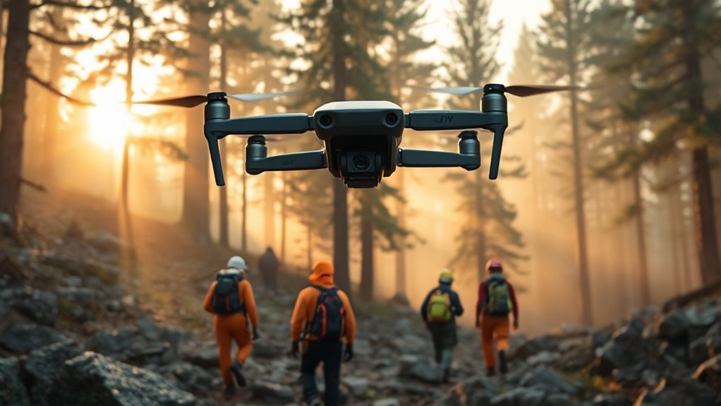
The DJI Mini 4 Pro offers SAR teams a compact imaging platform with 48MP stills, 4K video, and reliable flight endurance. Its value increases when missions require fast setup, terrain-aware search patterns, and safe operation in constrained environments. Proper configuration, grid planning, and image review can improve search efficiency, but the real gains depend on how the aircraft is integrated into field procedures. The next steps determine whether it becomes a simple camera platform or a mission asset.
What the DJI Mini 4 Pro Does for SAR
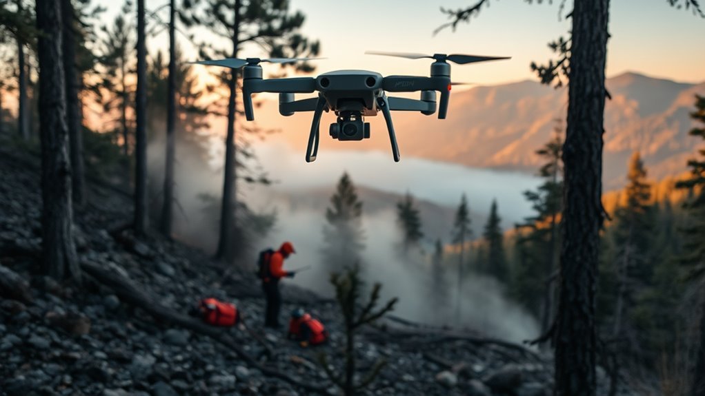
The DJI Mini 4 Pro supports search and rescue operations by combining high-resolution imaging, operational agility, and flight safety features. Its 48MP camera and 4K video provide detailed aerial records of terrain, structures, and subject locations, improving situational awareness.
The compact, lightweight frame enables rapid transport and deployment across remote or unstable environments, reducing dependence on heavy logistics. Intelligent flight modes such as ActiveTrack and FocusTrack help maintain visual contact with moving subjects and scan designated areas with controlled precision.
Up to 34 minutes of flight time extends coverage windows and limits interruptions from battery changes. Obstacle avoidance sensors add a protective layer in cluttered spaces, supporting safer navigation near trees, buildings, and uneven ground.
For teams pursuing effective, liberated field response, the platform offers capability without unnecessary burden. A subscription may be required for certain service functions, but the core airframe remains operationally efficient for SAR tasks.
Set Up the DJI Mini 4 Pro for Missions
Operational capability depends on correct mission setup as much as on airframe performance. To set up the dji mini 4 pro for missions, the operator should begin with a full battery, current firmware, and the DJI Fly app installed. These steps support reliable control, mission planning, and stable video transmission. The Quick Start Guide should be reviewed to confirm control mapping and safety protocols before launch.
| Check | Purpose |
|---|---|
| Battery and firmware | Maximize reliability and efficiency |
| DJI Fly configuration | Enable waypoint navigation and live video |
| Camera and pre-flight inspection | Improve image quality and confirm readiness |
The camera should be configured for low-light capture when dawn or dusk operations are expected. A pre-flight checklist must verify airframe integrity, battery status, and GPS lock. This disciplined setup reduces failure points and preserves operational autonomy during search and rescue tasks.
Plan Terrain-Aware Search Grids
Terrain data should be imported into 3D flight planning software to build search grids that conform to elevation changes and preserve imaging quality across the mission area.
Waypoint headings are set perpendicular to the terrain to improve image clarity and maintain consistent coverage.
Polygon boundaries from tools such as CalTopo or Google Earth can then be used to optimize grid placement and allocate search sectors efficiently.
Terrain Data Import
Imported terrain data from mapping platforms such as CalTopo or Google Earth can be used to generate precise, terrain-aware search grids for the DJI Mini 4 Pro.
This terrain data import process converts 2D maps and elevation layers into 3D flight plans that reflect real ground contours. The resulting route supports disciplined coverage of uneven terrain without waste.
Waypoints are placed according to slope, elevation change, and survey priority, allowing the aircraft to pause at each point for detailed imaging. The software uses the imported terrain model to optimize path selection, reducing blind spots and improving operational reach.
In search and rescue, this terrain-aware method strengthens efficiency, preserves energy, and helps teams deploy the drone with greater autonomy across difficult landscapes.
Perpendicular Waypoint Angles
By orienting each waypoint so the DJI Mini 4 Pro’s drone and gimbal angles remain perpendicular to the underlying terrain, the search grid can maintain consistent imaging geometry across uneven ground.
These perpendicular waypoint angles reduce perspective distortion and keep nadir-like capture aligned with the surface, improving interpretability in SAR imagery. Elevation data informs each stop, allowing the aircraft to adjust attitude before imaging critical zones.
Real-time terrain analysis further places waypoints where slope, ridges, or depressions demand targeted inspection. At each waypoint, the aircraft can pause, stabilize, and collect detailed frames, which supports anomaly detection in complex landscapes.
This terrain-aware method strengthens grid coverage, preserves data quality, and gives search teams a disciplined, efficient path toward operational clarity and effective rescue outcomes.
Search Grid Optimization
Grid optimization for the DJI Mini 4 Pro in search and rescue relies on software that converts 2D maps and elevation data into 3D flight plans, allowing search patterns to conform to terrain features rather than a flat projection.
In search grid optimization, each waypoint is placed from terrain context, so the camera maintains perpendicular coverage across slopes, ridges, and depressions. Real-time video demonstrations support route design, letting operators visualize spacing, overlap, and turns before launch.
Elevation-aware planning improves obstacle avoidance and keeps the aircraft aligned with complex ground profiles, increasing search efficiency and preserving operational freedom in difficult terrain.
After flight, image-analysis anomalies can be geolocated to within 1 meter of the operator, enabling targeted revisits and disciplined allocation of resources.
Fly Safely in Real SAR Conditions
In real search and rescue conditions, the DJI Mini 4 Pro supports safer flight through advanced obstacle avoidance, helping the aircraft navigate unpredictable terrain and obstacles with greater reliability. This capability helps teams fly safely in real sar conditions while maintaining operational control. Before launch, registration and login or register checks should confirm mission access and compliance. An exclusive offer on mission software can streamline deployment.
| Capability | SAR value |
|---|---|
| Obstacle avoidance | Reduces collision risk |
| 34-minute flight time | Extends search coverage |
| 48MP camera | Supports detailed inspection |
| Real-time transmission | Shares live situational data |
| Lightweight build | Enables rapid deployment |
In remote sectors, the Mini 4 Pro remains portable and fast to deploy, supporting liberated, decentralized response. Its endurance limits battery interruptions, while live video assists ground coordination. The platform suits austere conditions where speed, safety, and precision must align.
Capture Search Images for Fast Review
High-resolution imaging from the DJI Mini 4 Pro gives search and rescue teams detailed visuals for rapid review, improving identification of color anomalies, terrain irregularities, and other indicators of a missing person’s location.
Operators can capture search images for fast review at planned waypoints, preserving consistent framing across sectors. The camera’s resolution supports close inspection of vegetation breaks, reflective materials, and movement traces that may signal human presence.
Integrated elevation data helps place the aircraft with precision, aligning image angles to terrain contours and reducing blind spots. This disciplined capture process strengthens post-flight analysis, where AI from the post can flag anomalies and narrow targets to within 1 meter of the operator’s location.
The result is efficient evidence collection without unnecessary passes, allowing teams to move with greater autonomy, speed, and tactical clarity while maintaining a compact aerial profile.
Use Mapping Tools to Build Flight Areas
Mapping tools such as CalTopo and Google Earth can be used to define initial search polygons for DJI Mini 4 Pro flight planning. These mapping tools support precise boundary selection, helping teams assign airspace with minimal overlap and maximum coverage.
Import functions allow polygons, routes, and georeferenced layers to be transferred into planning workflows, reducing manual entry and improving operational clarity. Elevation data within mapping tools can be reviewed before launch to shape waypoint tracks that follow terrain contours and avoid unnecessary altitude changes.
The DJI Mini 4 Pro can then be tasked to fly those waypoints, producing systematic sweeps across the designated area. Shared maps also strengthen coordination, since responders can distribute the same flight area data to align search sectors and decision making.
In practice, mapping tools convert an open landscape into organized, actionable flight areas that support disciplined search and rescue coverage.
Fix Common Mini 4 Pro SAR Problems
Common Mini 4 Pro SAR failures often begin with flight plan errors, especially when waypoint routes, geofence limits, or firmware versions are not synchronized.
Signal and storage issues can also interrupt operations, reducing telemetry reliability and limiting image capture in the field.
Battery health, obstacle avoidance status, and camera settings should be verified before each mission to prevent avoidable mission loss.
Flight Plan Errors
Flight plan errors on the DJI Mini 4 Pro during search and rescue missions are often traced to inaccurate waypoint placement, outdated firmware, or weak GPS conditions. Accurate mission design requires real-time terrain data, because liberated movement depends on precise paths, not guesswork. A 3D flight planning tool with elevation layers improves route fidelity and keeps the camera aligned with ground contours. Regular firmware updates strengthen navigation stability and reduce abrupt deviations. Pre-flight simulations expose flawed altitudes, turns, and geofencing assumptions before deployment.
| Check | Purpose | Result |
|---|---|---|
| Waypoints | Match terrain | Reduced drift |
| Firmware | Improve navigation | Stable routing |
| 3D software | Integrate elevation | Correct altitude |
| GPS environment | Detect interference | Cleaner track |
| Simulation | Validate mission | Fewer flight plan errors |
Signal And Storage Issues
Maintaining a strong transmission link on the DJI Mini 4 Pro during search and rescue depends on keeping the aircraft within ideal signal range, since distance and obstructions can quickly degrade connectivity.
Signal and storage issues should be treated as operational risks, not minor faults. The drone should remain clear of terrain, structures, and RF congestion, while battery status is monitored, because low power can reduce link strength and data throughput.
Storage must be verified before launch; insufficient capacity can stop recording during a critical pass. High-speed SD cards with at least UHS-I support are recommended for stable capture.
Routine firmware updates should be applied to improve signal stability, storage handling, and bug fixes. These controls preserve mission continuity and support autonomous, decisive SAR action.
Set Up Team Accounts for SAR Operations
A dedicated team email address should be established to create a separate DJI account for search and rescue operations, reducing the risk of conflict with personal accounts.
A dedicated team email should create a separate DJI account for search and rescue operations.
The team should register at Store.dji.com using that address, then assign one controlled account for mission administration. Credentials should be shared securely with authorized members only, ensuring transparency without weakening control.
Strong password protocols, including length, uniqueness, and periodic updates, should be enforced to protect operational data and preserve independence from outside interference.
Account settings and permissions should be reviewed regularly so access remains aligned with organizational standards and current roles.
Clear communication on who uses the account, when, and for what purpose supports accountability and disciplined coordination.
This structure reduces administrative friction, enables rapid deployment, and keeps SAR teams free to operate with a managed digital identity that serves the mission rather than personal convenience.
Turn Flight Data Into Faster Finds
By converting flight data into actionable search cues, a DJI Mini 4 Pro can shorten the time required to locate missing persons or critical objects. Its imaging system detects anomalies quickly, and processed telemetry can narrow them to within 1 meter of the operator’s position. This precision helps teams turn flight data into faster finds without wasting coverage on low-probability zones.
High-resolution imagery reveals color shifts, shape breaks, and texture changes that often separate a subject from the surrounding terrain. Elevation data aligns each waypoint path with ground contours, preserving search efficiency on slopes, ravines, and forest edges.
Real-time video demonstrations improve planning by showing the landscape before deployment, enabling immediate path correction. The result is a disciplined search workflow that supports rapid, independent action and a clearer web experience for operators reviewing data across devices.
Frequently Asked Questions
Can Law Enforcement Still Use DJI Drones?
Yes, law enforcement can still use DJI drones, subject to Legal Considerations, procurement policy, and local aviation rules.
Their deployment remains viable for evidence capture, situational awareness, and search operations when agencies follow privacy limits, airspace authorization, and data-handling controls.
Some jurisdictions may restrict or replace DJI platforms due to security concerns, but operational use is not universally prohibited.
Training, oversight, and compliance determine lawful use.
Does the DJI Mini 4 Pro Have Obstacle Avoidance?
Yes, the DJI Mini 4 Pro does have obstacle avoidance, and it is no coincidence that this feature aligns with safer flight.
Its multi-directional vision sensors detect obstacles ahead, behind, above, and below, while 3D sensing supports real-time autonomous avoidance.
This technical system improves mission reliability and protects Camera Capabilities.
For operators seeking liberation from constant crash risk, the result is greater operational confidence in complex environments, including search and rescue.
How to Make Dji Mini 4 Pro Follow Me?
To make the DJI Mini 4 Pro follow a subject, the operator opens DJI Fly, enters Intelligent Flight Modes, and selects the Follow Me option.
Tracking Features rely on GPS and visual recognition to maintain distance, altitude, and speed. The subject must remain clearly visible in the camera view.
App settings can refine tracking parameters. Firmware and app updates should be kept current to preserve reliable autonomous pursuit and operational freedom.
Where Can I Find the User Manual for the DJI Mini 4 Pro?
The User Manual for the DJI Mini 4 Pro can be found on DJI’s official website or inside the DJI Store App, where it is available for download in multiple languages.
Released as version 1.4 on June 27, 2024, it provides setup, operation, and safety instructions.
Review it before flight to guarantee compliant, efficient use and to exercise informed control over the aircraft in field operations.
Conclusion
In search and rescue, the DJI Mini 4 Pro acts as a precision tool rather than a novelty, combining compact mobility, dependable imaging, and terrain-aware flight support. Its 48MP stills, 4K video, and automated flight features help teams sweep areas efficiently and document findings with speed. When configured correctly, it can shorten search cycles and improve situational awareness. In the field, it becomes a small drone with a very large role.