
A lake bar can look insignificant from the surface, but its underwater shape may create several useful fishing zones. A bar is generally a relatively shallow ridge or bank surrounded by deeper water. When anglers describe a “two-side bar,” they usually mean a bar with a depth break along both flanks rather than a formally defined type of lake structure. Reading those breaks on a contour map—and then verifying them with sonar—helps reveal the crest, shoulders, drop-offs, bottom transitions, and other places fish may use.
Quick Answer
On a lake map, a two-side bar can be understood as a shallow underwater bar whose two flanks fall toward deeper water. The breaklines appear where contour spacing changes or tightens. Fish may use the crest, shoulders, foot of the drop, tips, and bottom transitions, but sonar should confirm the actual depth and fish location.
Key Takeaways
- A lake bar is a relatively shallow underwater ridge or bank compared with the surrounding bottom.
- “Two-side bar” is not a standardized fishing-map term; it is best understood as a bar with fishable breaks or slopes on both flanks.
- Closely spaced depth contours usually indicate a steeper slope, while wider spacing indicates a more gradual change.
- Fish can use the crest, shoulders, foot of the break, tip, inside turns, vegetation edges, and bottom-composition changes depending on species and conditions.
- Contour maps help find promising structure, but current water depth and fish position should be confirmed with sonar and safe boat operation.
What Is a Lake Breakline?
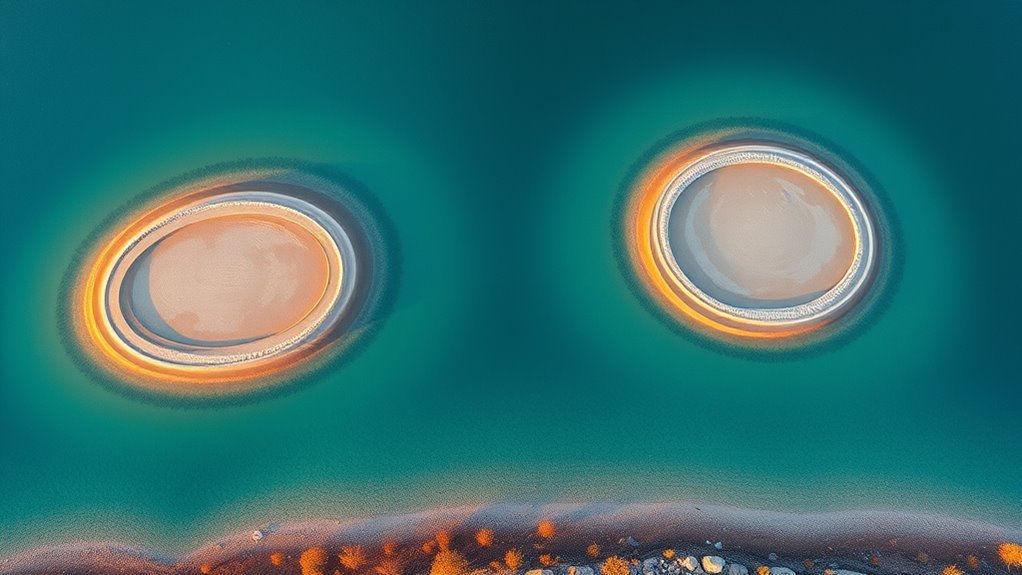
In fishing, a lake breakline is a line or zone where underwater conditions change enough to create a recognizable edge. Most often, anglers mean a change in depth or slope, such as the shoulder of a bar dropping toward deeper water.
On a bathymetric chart, NOAA explains that depth contours connect depth information and help portray the shape of the bottom. When those contour lines crowd together, the bottom is generally changing depth more rapidly. When they spread farther apart, the slope is usually gentler.
The contour interval also matters. A chart with 1-foot contours can show smaller changes than one using 5- or 10-foot intervals. Do not judge steepness only by the number of lines visible on the screen; first check what depth each contour represents.
Anglers may also use “breakline” more broadly for an edge in vegetation, bottom hardness, or cover. These transitions can matter because fish often relate to combinations of depth, forage, cover, temperature, current, and bottom type rather than depth alone.
Note: “Breakline” also has a separate technical meaning in GIS and digital-elevation modeling. In that field, breaklines can define shorelines and abrupt terrain changes. That is different from the practical fishing use of the term.
What Is a Two-Side Bar?
A bar is a relatively shallow underwater ridge or bank. The U.S. Geological Survey describes a bar as a relatively shallow place in a body of water, typically a submerged ridge or bank.
“Two-side bar” is not a universal technical term used by major charting agencies. If an angler or local map uses that wording, the clearest interpretation is a bar whose two flanks descend toward deeper water. In that layout, the shallow portion is the top or crest of the bar. A deeper channel through the center would be a different feature rather than the defining characteristic of the bar itself.
Two-Side Bar Basics
Think of the structure as a long underwater ridge. The important parts are not a fixed depth range but the way each part relates to the surrounding lake:
- Crest: the shallowest part of the bar.
- Shoulder: the transition where the top begins to slope downward.
- Break: the section where depth begins changing more noticeably.
- Foot of the break: the deeper area where the slope starts flattening again.
- Tip: the end of the bar extending toward open water.
- Inside turn: an indentation or bend in the contour that may create a travel or feeding edge.
A bar may consist of sand, gravel, rock, clay, vegetation, or a mixture. Those differences can influence where bait and gamefish are found, so depth alone should not determine where you fish.
Shoreline Breakline Layout
A bar connected to shore often projects toward open water before dropping on either side. A mid-lake bar can form the same basic shape without touching shore. Reading the contours reveals which side is steep, which is gradual, and whether the structure contains irregularities worth checking.
| Feature | What It Means | Why Anglers Check It |
|---|---|---|
| Crest | Shallow top of the bar | Can hold feeding fish when conditions favor shallow water |
| Gentle slope | Contours spaced farther apart | Provides a broad transition between shallow and deep water |
| Steep break | Contours packed closely together | Provides rapid access between different depths |
| Inside turn | Indentation in the contour | Creates a distinct structural change worth checking |
| Tip | End of the bar toward deeper water | Intersects several depths in a small area |
The most useful bar is often not the one with the steepest break. A small bend, rock patch, weed edge, isolated boulder, hard-bottom transition, or change in slope can make one short section more attractive than the rest.
Fishing Spots and Depths
There is no universal 3- to 12-foot or 4- to 12-foot depth range for productive bars. A shallow natural lake, deep reservoir, northern walleye lake, and southern bass reservoir can all produce very different depth patterns.
Instead, compare the bar with the surrounding basin and identify several zones:
- the shallow crest;
- the first noticeable depth change;
- the steepest shoulder;
- the foot of the break;
- the point or tip extending farthest into deep water;
- inside turns;
- weed edges and bottom-composition changes.
Which zone holds fish changes with species, season, forage, light, temperature, oxygen, wind, current, and fishing pressure. For example, Minnesota DNR notes that walleye commonly use relatively shallow areas in spring and move toward deeper offshore structure as summer water warms.
How to Read Breaklines and Drop-Offs
Start by checking the chart’s contour interval. Then look for a noticeable change in contour spacing. Lines that suddenly move closer together show a more rapid depth change; a broad gap between contours shows a gentler slope.
Next, trace the feature rather than staring at a single depth number. Follow the contour around the bar and look for:
- places where the break becomes suddenly steeper;
- inside turns or small contour bends;
- tips projecting toward the main basin;
- saddles connecting two pieces of structure;
- nearby channels or deep-water access;
- rock, vegetation, timber, or hardness changes shown by sonar.
A bar, point, hump, and saddle are related but not identical. A point projects outward from shore, a hump rises independently from the surrounding bottom, and a saddle is a lower connection between two higher structures. A bar is usually an elongated shallow ridge or bank. The breakline is the transition around any of these features rather than the structure itself.
Pro Tip: Mark several waypoints instead of one generic “bar” waypoint. Save the crest, steep shoulder, tip, inside turn, and any rock or vegetation transition separately. That makes it much easier to repeat a productive boat position later.
[Amazon Products Picked for You]
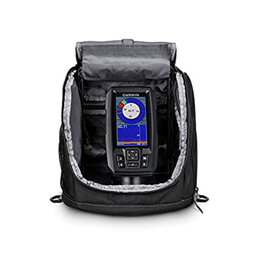
Easy-to-use 4” color fishfinder with built-in, high-sensitivity GPS

PRECISE SHAPE DUPLICATION: Instantly copy any shape or duplicate a profile for woodworking, tile flooring, and linoleum installation. This ANGLE-IZER tool can replicate the detailed moldings or match cut-outs around door casings and pipes.

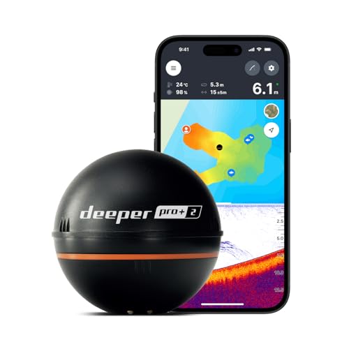
It is a portable and castable fish finder that comes with a wireless sonar probe/sensor. The maximum distance between the sensor and the handheld unit is 262FT/80M. No need to drill hole in your boat hull to install the sensor any more. Two small holes on the sensor allow you to tether it with your fishing line and cast it onto water as far as you want.
Where Fish Hold on a Bar
Fish do not automatically line up on every break. The contour map identifies potential structure; sonar, conditions, and actual bites tell you which part is productive that day.
Good areas to investigate include:
- Crest: worth checking when fish are actively feeding shallow.
- Shoulder: gives fish quick access between the top and deeper water.
- Foot of the break: can hold fish that are relating to deeper water.
- Tip: intersects multiple depths and can concentrate movement.
- Inside turn: creates a change in the otherwise uniform contour.
- Bottom transition: a change from soft to hard bottom can be more important than the depth contour itself.
- Vegetation edge: adds cover to the structural break.
Season matters. Minnesota DNR reports that walleye can move progressively deeper as summer temperatures rise and may move from deeper water toward shallower feeding areas around low-light periods. Other species can follow different patterns, so treat those movements as examples rather than rules for every fish in the lake.
Modern electronics can help separate structure from actual fish location. Humminbird AutoChart Live, for example, can map depth contours, vegetation, and bottom hardness, all of which can help identify meaningful transitions around a bar.
How to Find Breaklines on Lake Maps
Finding a breakline starts with the contour pattern rather than a fishing icon or hotspot marker.
On the water, sonar is what confirms what the map suggested. A unit with GPS lets you mark the edge as you idle along it and come back to the same spot, which we cover in our Striker comparison.
- Find the shallow structure. Look for a point, bar, ridge, hump, reef, or flat surrounded by progressively deeper contours.
- Check the contour interval. Know whether each line represents 1 foot, 2 feet, 5 feet, or another interval.
- Find the compressed contours. These identify the steeper portions of the structure.
- Trace the same depth around the feature. Look for tips, inside turns, necks, and irregularities.
- Compare both sides. One side of the bar may fall sharply while the other tapers gradually.
- Mark several targets. Save waypoints at the highest-percentage changes rather than the center of the feature alone.
- Verify on the water. Use the depth finder and sonar to confirm the real bottom shape, cover, and fish location.
High-resolution charting can make small structural changes easier to see. Garmin/Navionics, Lowrance C-MAP, and Humminbird LakeMaster products offer detailed contour and/or shading features in supported waters, but coverage and source accuracy vary by lake and product.
Relief shading and three-dimensional views can make a ridge easier to visualize, but they do not eliminate the need to understand ordinary depth contours.
[Amazon Products Picked for You]

Dual Spectrum CHIRP Sonar: Delivers views of fish arches and fish-holding structure with two ways to search — Wide Mode for maximum coverage and Narrow Mode for detailed scanning; Precise 2D target separation powered by Low-Q transducer

Rugged, castable sonar device works with free striker cast app (compatible with apple or android devices) to wirelessly stream sonar, locate fish and display them on your smartphone or tablet
READY TO PERFORM: Wide beam, mid, and narrow beams make covering large expanses or drilling down on specific spots available at your disposal; Ideal for elite anglers who want to take their matchplay to the next level
What Depth Changes Mean for Boats
A bar that attracts fish can also create a grounding hazard. The same contour compression that tells an angler where a steep break lies may indicate that the boat can move from safe depth to very shallow water quickly.
Warning: Do not use a fishing contour map alone to decide that a route across a bar is safe. Actual water level, boat draft, rocks, timber, sediment movement, map age, survey quality, and GPS error can all affect clearance. Slow down in unfamiliar shallow water and verify depth with appropriate navigation information and your depth sounder.
Garmin states that Navionics charts are aids to navigation and are not replacements for authorized government charts. NOAA likewise explains that charted depth numbers come from hydrographic soundings and that depth contours portray the configuration of the bottom.
Water levels can also change after a lake was mapped. Reservoir drawdowns, drought, floods, and seasonal fluctuations can shift the real water depth above a bar without changing the shape of the lakebed.
Common Breakline Mistakes to Avoid
- Assuming every closely spaced contour automatically holds fish.
- Ignoring the chart’s contour interval.
- Fishing only the shallow crest instead of checking both shoulders and the foot of the break.
- Relying on a mapped depth without checking current water level.
- Confusing bottom structure with fish location.
- Ignoring vegetation and bottom-hardness changes.
- Running a boat across an unfamiliar shallow bar at speed.
Do Not Confuse Fishing Breaklines With GIS Shoreline Breaklines
The word breakline also appears in GIS, LiDAR, and digital elevation model work. In that context, it can mean a three-dimensional line used to control how terrain or the edge of a waterbody is represented.
The USGS Lidar Base Specification discusses shoreline breaklines used to create flat lake surfaces in digital elevation models. Concepts such as shoreline alignment, breakline vertices, and water-surface elevations belong to that mapping-production workflow.
Those concepts should not be confused with an angler looking for a depth break on a fishing chart. The two uses share the word “breakline,” but they solve different problems.
Incorrect Water Levels Still Matter to Anglers
Although GIS node editing is not part of ordinary fishing, water-level differences do matter. A contour map describes depth relative to the reference data used to create it. If a reservoir is several feet below normal pool, the actual depth over a mapped bar can be substantially less than expected.
Garmin/Navionics even provides a water-level adjustment in supported charting software for conditions such as drought, drawdown, or unusually high water. Use local lake-level information when available and confirm shallow water with real-time depth readings.
Terms such as “floating water” and terrain distortion are valid in DEM quality control, but there is no general 20- to 30-centimeter fishing-map rule that anglers should apply to a bar.
How to Mark and Fish the Bar
A simple approach is to map the structure first and fish it second.
- Mark the crest. Save a waypoint near the shallowest portion without assuming that it holds fish.
- Mark both shoulders. Identify where each side starts dropping more noticeably.
- Mark irregularities. Save the tip, inside turns, isolated rocks, vegetation edges, or hardness changes.
- Scan before casting. Pass over or beside the structure with sonar to check depth, cover, bait, and fish.
- Position on the deeper side. This often lets you work a lure across several depth zones without driving repeatedly over the shallow top.
- Fish across and along the contour. Casting across the break helps test multiple depths; working parallel to it keeps a lure in one depth zone longer.
- Change depth before abandoning the bar. If the crest is empty, check the shoulder and foot of the break.
Crankbaits can cover a broad depth range, while jigs and soft plastics make it easier to work a specific section slowly. Spinnerbaits and other moving presentations can be useful around vegetation or active shallow fish. The best lure depends more on the species, depth, cover, forage, water clarity, and activity level than on the fact that the structure is a bar.
[Amazon Products Picked for You]

Dual Beam Sonar: Choose from a narrow and a wide beam for great detail or a generous coverage area, helping you identify fish, structure and contours.

Easy-to-use 7” color fishfinder with new vivid scanning sonar color palettes to easily distinguish fish and structure; tilt/swivel bailmount bracket included
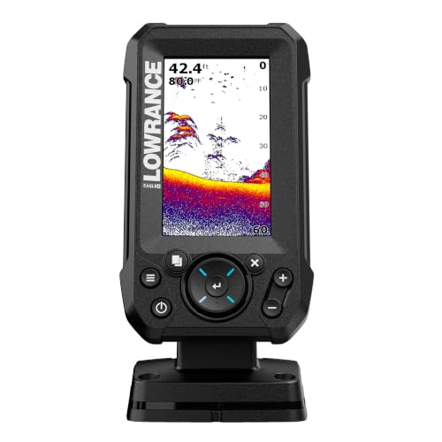
EASY TO SEE: The 4-inch IPS portrait screen stays clear in bright sunlight, from wide viewing angles, and through polarized sunglasses.
Frequently Asked Questions
What lures work best on a two-side bar?
Crankbaits, jigs, soft plastics, spinnerbaits, and live-bait presentations can all work. Match the lure to the target species and the depth being fished. Crankbaits are useful for covering water, while jigs and soft plastics make it easier to work a specific shoulder, bottom transition, or foot of the break.
How do seasonal changes affect bar fishing?
Seasonal effects depend on the species and lake. Walleye, for example, commonly use shallower feeding areas during parts of spring and may move toward deeper offshore structure as summer warms. Temperature, oxygen, forage, spawning behavior, vegetation, and light can all change which part of a bar is productive.
When is the best time of day to fish breaklines?
There is no universal best time for every species, but low-light periods can be important for some fish. Minnesota DNR notes that walleye frequently feed around dawn and dusk and may move from deeper water onto shallower areas. Cloud cover, water clarity, season, forage, and weather can change that pattern.
Do electronics help locate hidden lake bars?
Yes. GPS mapping and bathymetric contours can identify likely bars before you reach them, while sonar can confirm the real depth, slope, vegetation, bottom composition, bait, and fish. Custom-mapping systems can also record more detailed contours in areas where existing maps lack detail.
What wind conditions improve fishing along breaklines?
A moderate, safe wind can sometimes concentrate forage or create current around one side of a structure, making that side worth checking first. The effect varies with lake shape, species, season, and water clarity. Strong wind can make boat control and shallow-water navigation hazardous, so fishing conditions should never take priority over safe operation.
Is a lake bar the same as a hump or point?
No. A bar is generally an elongated shallow ridge or bank. A hump rises from the surrounding bottom like an underwater hill, while a point extends outward from shore. These structures can all create breaklines, and their shapes can overlap on complicated lake bottoms.
Can lake contour maps be wrong?
Yes. Accuracy depends on the original survey, data age, contour interpolation, water level, map source, and GPS accuracy. Treat a fishing map as a tool for locating likely structure, then verify shallow areas and the actual bottom with current navigation information and your depth sounder.
Conclusion
A bar becomes easier to fish once you stop treating it as one spot and start reading it as a collection of zones. Find the shallow crest, trace both slopes, identify the steepest break, mark the tip and inside turns, and look for vegetation or bottom changes that make one section different from the rest. A contour map narrows the search, while sonar and current conditions reveal where the fish actually are. Most importantly, treat “two-side bar” as descriptive angling language rather than a rigid technical classification, and never assume a mapped shallow-water route is safe without verifying the depth.
Sources
- U.S. Geological Survey — Bar definition — defines a bar as a relatively shallow submerged ridge or bank.
- NOAA National Ocean Service — Nautical chart soundings and depth contours — explains chart depth measurements and contours.
- Minnesota Department of Natural Resources — How to Catch a Walleye — supports seasonal, structural, and low-light walleye behavior discussed above.
- Humminbird — AutoChart — documents depth-contour, vegetation, and bottom-hardness mapping capabilities.
- Garmin — Map Data Sources and Accuracy — explains chart-data sources, accuracy limits, and navigation cautions.
- U.S. Geological Survey — Hydro-flattening Breaklines — explains the separate GIS/DEM meaning of shoreline breaklines.
