Poor orchard mapping leads to wasted resources and lost crop yields. You need high-resolution drone imagery to measure tree height and canopy volume accurately. This guide explains how to calibrate your tools, follow FAA rules, and use thermal sensors to boost your harvest.
Quick Answer
Mapping your orchard with drones requires high-resolution cameras, proper tool calibration, and strict adherence to FAA flight rules. Thermal imaging and automated flight software help you detect plant stress early, save water, and increase crop yields.
Why High-Resolution Imagery Matters
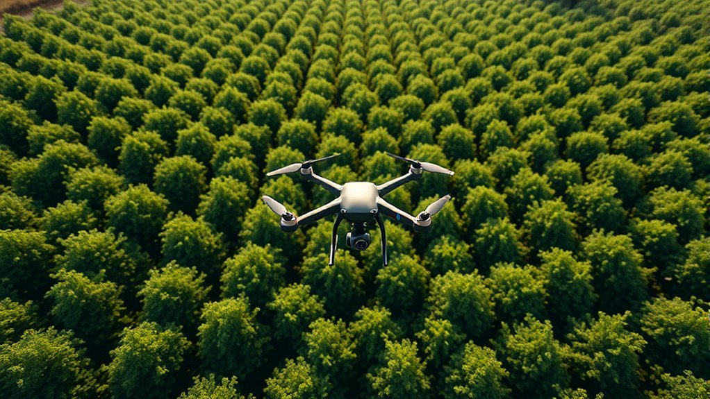
High-resolution images help you map orchard canopies accurately. You can extract individual tree crowns with precise detail. Drones like the DJI Phantom 4 Advanced feature 20-megapixel cameras that capture clear aerial images. These images allow you to build detailed digital surface models and digital terrain models.
Researchers report an average error rate of just 6.64 percent when measuring tree heights with these advanced tools. High-quality photos also help you calculate exact canopy coverage percentages. You can identify foliage coverage ranging from zero to a full canopy. This data directly guides your daily crop management choices.
Structure from Motion techniques use these detailed photos to estimate total canopy volume. Better volume estimates help you allocate water and fertilizer exactly where your trees need them. High-resolution imagery drives modern precision agriculture and boosts overall farm productivity.
How to Calibrate Your Analytical Tools
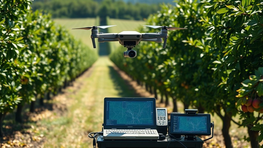
You must calibrate your analytical tools to get reliable data across different orchards. Proper calibration matches your drone measurements with real ground data. This step improves how you assess tree height and canopy volume. Atmospheric changes and sensor shifts can easily distort high-resolution drone images.
You reduce data errors by calibrating your equipment often. Place reference points like white paper boards on the ground before you fly. These ground markers improve the accuracy of your digital surface and terrain models.
Experts recommend regular calibration to protect your data integrity. Machine learning models rely on this clean data to detect individual tree crowns successfully. Consistent calibration gives you the accurate measurements needed to manage your orchard well.
Using Thermal Imaging for Crop Health
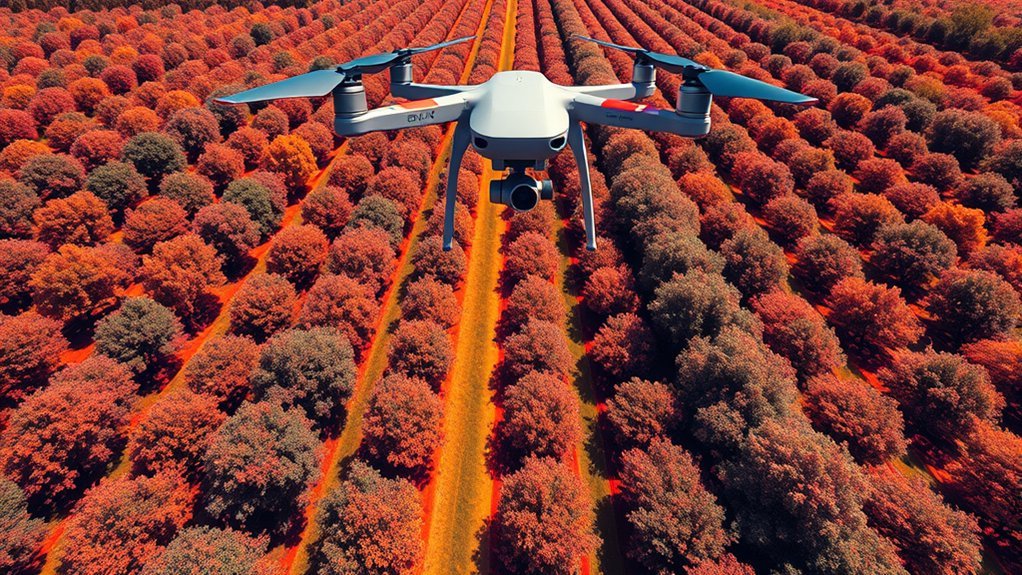
Adding thermal imaging to your drone flights greatly improves orchard management. Thermal sensors monitor crop canopy temperatures accurately. This temperature data reveals critical details about water stress and daily irrigation needs. Thermal scans spot heat stress early and support traditional visual checks for overall tree health.
Top Benefits of Thermal Imaging
Drones equipped with thermal cameras offer a precise way to monitor plant conditions. Mapping canopy temperatures gives you direct insight into water stress. You need this specific data to manage your irrigation schedules efficiently. Drones easily spot temperature shifts across large fields.
You can quickly find specific areas that need more water or fertilizer. Early detection stops crop damage before it spreads. This proactive approach improves harvest yields and saves vital farm resources.
| Benefit | Impact |
|---|---|
| Precise canopy temperature | Better irrigation management |
| Early detection of water stress | Enhanced crop health |
| Sustainable agricultural practices | Reduced resource usage |
How Thermal Sensors Work in Agriculture
Thermal sensors deliver real-time data on crop temperatures. Drones carrying these sensors track tiny heat variations within the canopy. This information helps you target your irrigation practices perfectly. You apply water only where the crops actually need it.
Better agricultural analytics allow you to act fast. Quick interventions optimize your final yield and stop water waste. You must calibrate your thermal tools to get accurate readings across different environments. Proper calibration informs your long-term resource management plans.
FAA Regulations for Drone Flights
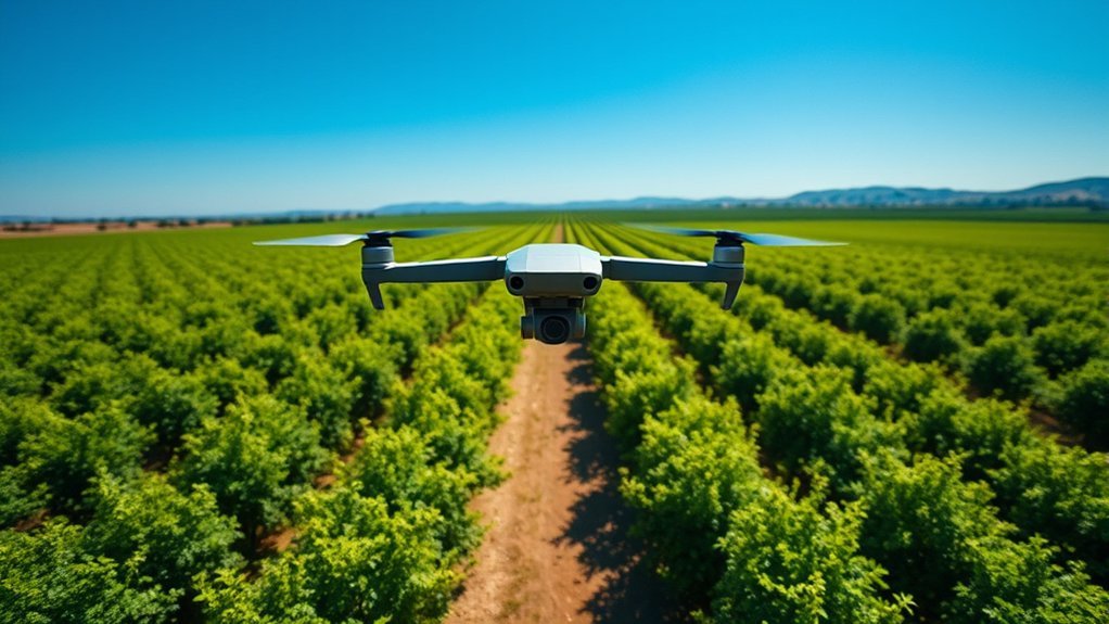
You must understand FAA regulations to fly drones legally over your orchards. Pilots must fly below 400 feet at all times. You must keep your drone within your visual line of sight. Always check local airspace restrictions before you launch. Look for temporary flight restrictions or no-fly zones near your farm.
Essential Drone Operation Guidelines
Commercial operators need a Remote Pilot Certificate to fly legally. This license proves you understand all FAA flight rules. Part 107 compliance requires you to stay under 400 feet and keep the drone visible. Airspace near airports and emergency zones usually requires special permission.
Run a strict pre-flight checklist before every single takeoff. Verify your drone registration and test all equipment functions. Check for temporary flight restrictions that could ground your mission. Following these safety steps guarantees a safe flight and better mapping data.
Always consult official FAA guidelines or a legal professional before flying a commercial drone.
Navigating Airspace Restrictions
Every drone operator must obey FAA airspace rules. You must register any drone weighing over 0.55 pounds. The FAA divides airspace into different classes, including Class B, C, D, and E. Class B airspace strictly regulates drone flights and requires explicit permission to enter.
Always scan the area for Temporary Flight Restrictions during local events or natural disasters. Violating airspace rules brings heavy fines or the loss of your pilot license. Knowing the law protects your farm business while you collect aerial data.
How to Choose the Right Drone
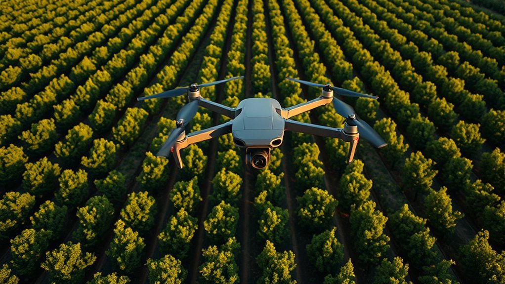
Choosing the right drone technology boosts your mapping accuracy and speed. Look for features that support heavy agricultural work. Consider these key elements before buying:
- Select high-resolution cameras with 20-megapixel sensors to capture sharp images.
- Use automated flight planning software like MapPilot to maintain precise flight paths.
- Pick drones capable of shooting straight down and at angled perspectives.
- Choose models with long battery life and the payload capacity to carry thermal sensors.
- Buy equipment that complies easily with current FAA remote ID regulations.
Best Practices for Image Collection
Proper image collection techniques improve the accuracy of your orchard maps. Fly your drone at an altitude of 120 meters for the best results. Overlap your photos by at least 90 percent to build seamless maps. This heavy overlap creates accurate digital surface models of your trees.
Set your camera gimbal to a 25-degree pitch. This angle captures straight-down and slanted photos at the same time. Combining these angles improves the overall 3D model of your orchard. Experts have tested dozens of collection methods to find the best settings for mixed-crop fields.
A 20-megapixel sensor delivers the high-quality data your software needs. Automated algorithms use these sharp images to generate exact tree counts. Tweaking your flight altitude and camera angle directly impacts your mapping success.
Processing Your Drone Mapping Data
Capturing images is only the first step in orchard mapping. You need powerful photogrammetry software like Pix4D or DroneDeploy to stitch the photos together. These programs turn hundreds of flat images into accurate 3D models and orthomosaic maps.
Good software helps you analyze plant health indexes easily. You can then export this clean data straight to your tractor or farm management system.
Improving Crop Management with Data
Drone imagery systems help you estimate tree canopy size with total precision. Accurate data optimizes your resource spending and daily farm practices. High-quality maps give you a clear view of your entire operation.
Drone mapping systems provide accurate canopy measurements to help you allocate farm resources efficiently.
- Measure average tree heights with extreme accuracy to track growth rates.
- Assess canopy coverage levels from zero to full to spot weak zones.
- Process automated photogrammetry data to build digital surface models.
- Combine high-resolution photos with mapping software to calculate exact tree volumes.
- Use field data to make smarter and faster crop management decisions.
The Future of Agricultural Drones
Drone technology advances quickly and changes how farmers manage their crops. New drones feature smarter sensors that read tiny details in tree canopies. These tools detect early signs of stress, missing nutrients, and low water levels. Real-time data streams will make your crop management much more accurate.
Researchers study how to turn canopy temperature data into exact water prescriptions. This science refines your irrigation plans and saves massive amounts of water. Agricultural tech companies partner with universities to build better farming tools.
Artificial intelligence and machine learning now power the latest drone software. Smart algorithms process flight data instantly to improve your farm decisions. Early adopters of these tools secure higher crop yields and lower operating costs.
Frequently Asked Questions
How Do Drones Improve Pest Management in Orchards?
Drones spot pest damage early through detailed aerial photos. You can assess crop health quickly and apply treatments only where bugs exist. This targeted approach saves money on pesticides and protects your overall yield.
What Are the Costs Associated With Drone Mapping for Orchards?
Commercial drone mapping projects usually cost between $1,000 and $5,000. You must budget for the drone hardware, processing software, and pilot training. The long-term savings in water and fertilizer easily offset these initial startup costs.
Can Drones Be Used for Other Agricultural Tasks Besides Mapping?
Farmers use drones for many different jobs. You can monitor daily crop growth, guide irrigation systems, and track wandering livestock. Drones provide fast visual data that helps you run the entire farm more efficiently.
Are There Specific Drones Recommended for Small-Scale Orchards?
Small orchard owners often choose compact models like the DJI Mini series or Parrot Anafi. These lightweight drones cost less but still carry excellent high-resolution cameras. They fly easily and collect accurate data over smaller plots of land.
How Often Should I Map My Orchard for Optimal Results?
You should map your orchard every two to three weeks during the active growing season. Frequent flights help you track rapid growth and spot sudden health drops. Timely data lets you adjust your water and fertilizer plans instantly.
Next Steps for Drone Mapping
Drone mapping gives you the exact data you need to grow healthier trees and cut farm costs. Start by calibrating your current cameras and reviewing the latest FAA rules for your area. Invest in reliable mapping software today to turn your aerial photos into actionable farm intelligence.

1 thought on “Orchard & Canopy Mapping With Drones: Best Practices”