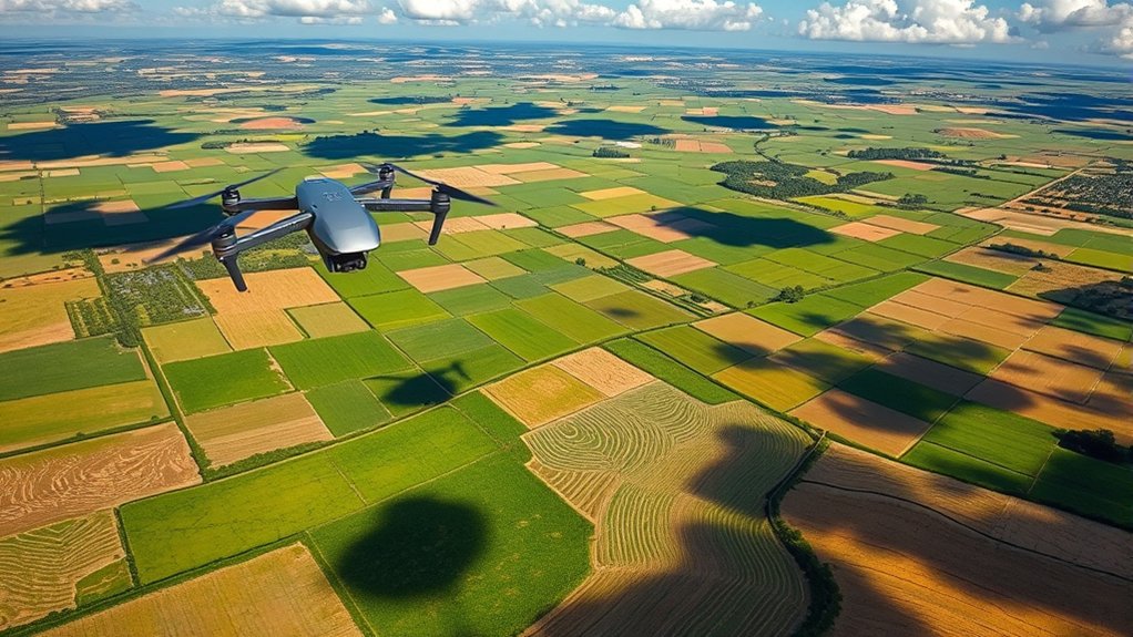
Mapping irrigation problems with drones helps you find water stress, uneven coverage, clogged emitters, drainage issues, and crop-health changes before they reduce yield. By combining thermal imagery, multispectral data, careful flight planning, and repeatable analysis, you can turn aerial maps into practical irrigation decisions instead of guessing from ground scouting alone.
Quick Answer
To use drones for mapping irrigation problems, plan a repeatable grid flight, capture RGB, multispectral, or thermal imagery, process the images into maps, then compare plant vigor and canopy temperature patterns. Look for dry zones, wet spots, clogged emitters, line failures, poor drainage, and recurring stress patterns.
Key Takeaways
- Thermal maps help reveal canopy temperature differences that may point to water stress or irrigation system failures.
- Multispectral maps, including NDVI and NDRE, help compare plant vigor across the field.
- Repeatable flights matter because one map rarely proves the cause of a problem by itself.
- Drone maps work best when you verify suspicious zones on the ground before making major irrigation changes.
- Good flight timing, overlap, calibration, and software workflow make the final maps more reliable.
At a Glance
| Time Required | 30 minutes to several hours, depending on field size, battery swaps, sensor type, and processing time |
| Difficulty | Moderate, especially if you use multispectral or thermal sensors |
| Tools Needed | Drone, flight planning app, RGB camera, multispectral or thermal sensor if available, GNSS support, mapping software, and ground-check notes |
| Cost | Varies widely based on drone, sensor, software subscription, labor, and whether you process maps yourself or hire a service |
Understanding the Role of Drones in Irrigation Management
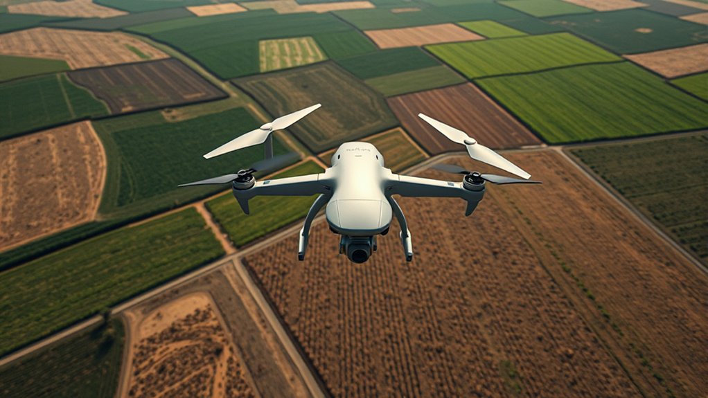
As you explore the integration of drones into irrigation management, you’ll find that these tools can help you see field conditions from a much wider view. Instead of walking only a few rows, you can map the whole block, compare patterns, and focus your ground checks where the data shows stress.
Drones equipped with thermal and multispectral cameras can help detect water stress by analyzing temperature variations and vegetation indices. Thermal imagery may show warmer canopy areas that need attention, while multispectral imagery can highlight differences in plant vigor. Together, these layers help you spot irrigation issues earlier than visual scouting alone.
High-resolution aerial imagery also reveals uneven water coverage, weak crop rows, wet patches, and visible changes around irrigation lines. These clues can help you identify problems such as clogged emitters, broken sprinkler heads, pressure variation, poor drainage, or line failures.
Using NDVI maps generated from drone data helps you pinpoint stressed regions and compare them with irrigation zones. This targeted approach supports better crop-health decisions because you apply water, repairs, or field checks where they are most needed. Drones can rapidly cover large agricultural fields, reducing the time and labor required for manual scouting.
When you combine drone maps with irrigation records, soil moisture readings, and farm management software, you can make better decisions about scheduling, repairs, and water-use efficiency. The goal is not simply to collect images. The goal is to turn aerial data into practical irrigation action.
Benefits of Using Drones for Identifying Water-Stressed Areas
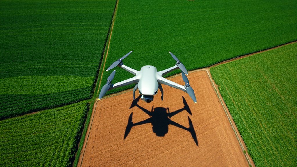
Using drones for identifying water-stressed areas offers early detection of irrigation issues, allowing you to address problems before they become larger. The enhanced mapping accuracy provided by drone technology enables more precise targeting of interventions, which can improve crop health and reduce waste. These cost-effective monitoring solutions also reduce the time and resources needed for traditional scouting methods.
Early Detection of Issues
Traditional scouting can be slow, especially in large fields or dense crops. It may also miss subtle patterns that only become clear from above. Drones equipped with thermal imaging technology and high-resolution cameras give you a faster way to identify irrigation issues before they seriously affect crop health.
- Detect temperature variations that may indicate water stress
- Use vegetation indices like NDVI to assess plant health
- Cover large areas quickly and reduce manual scouting time
- Create detailed maps that highlight uneven irrigation coverage
- Track repeat problem zones across multiple flights
Regular drone flights allow you to track crop-health changes across time. This helps you adjust irrigation practices before stress spreads. It also helps you confirm whether a repair, schedule change, or pressure adjustment improved the problem area.
Enhanced Mapping Accuracy
Drones can improve mapping accuracy by capturing high-resolution imagery that reveals small variations in crop growth, soil condition, and irrigation effectiveness. With drone mapping technology, you can identify patterns that are hard to see from the ground, especially in fields with uneven soil, slopes, or mixed crop vigor.
NDVI maps generated from multispectral imagery allow you to compare plant health across the field. Low-vigor zones may point to water stress, nutrient issues, pest pressure, disease, salinity, compaction, or drainage problems. That is why drone data should guide investigation rather than replace field inspection.
Drones efficiently cover large areas and provide broad aerial assessments in a fraction of the time required for walking every zone. When you process the data quickly, you can make timely irrigation decisions and prioritize the areas that need ground checks first.
Cost-Effective Monitoring Solutions
Cost-effective monitoring solutions are changing how growers identify water-stressed areas in agriculture. Drones equipped with thermal imagery, multispectral sensors, or RGB cameras provide rapid assessments of irrigation needs and help guide timely interventions.
- Quickly cover large fields and identify under-irrigated zones
- Reduce labor costs by minimizing broad manual scouting
- Support precision irrigation strategies through data integration
- Improve crop decisions by optimizing water use
- Reduce repeat visits to healthy areas so you can focus on problem zones
Advanced agricultural drones can survey large areas in a single mission, depending on battery capacity, flight altitude, terrain, wind, and local regulations. By leveraging drone technology, you can conserve water, reduce wasted scouting time, and support more sustainable agricultural practices.
Note: A drone map shows patterns, not final diagnoses. Always confirm suspicious zones with ground checks, soil moisture readings, irrigation pressure tests, or crop scouting before making expensive changes.
Key Technologies in Drone Mapping for Irrigation
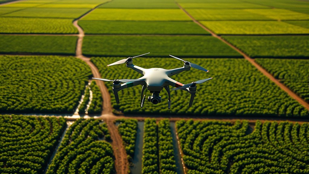
As technology continues to evolve, advanced tools in drone mapping are improving irrigation management. Key technologies such as multispectral imaging and thermal imaging help you assess irrigation efficiency and identify water distribution issues more effectively.
With multispectral imaging, you can analyze vegetation health through indices like NDVI and NDRE. These maps help you find areas that may be under stress. Thermal imaging detects canopy temperature differences, which can highlight under-irrigation, system malfunctions, or areas where plants are losing cooling capacity because water is limited.
Real-time data processing and data integration are also important. Advanced algorithms allow faster analysis of collected data, giving you actionable insights while field conditions are still relevant. Integrating drone imagery with farm management software can improve irrigation scheduling, zone comparisons, and long-term recordkeeping.
| Technology | Purpose | Benefits |
|---|---|---|
| Multispectral Imaging | Assess vegetation health | Identifies crop vigor patterns, possible water stress, and possible nutrient deficiencies |
| Thermal Imaging | Detect canopy temperature variations | Helps pinpoint under-irrigation, heat stress, or system failures |
| LiDAR Mapping | Create 3D elevation models | Evaluates terrain, slope, drainage, and surface flow patterns |
| RGB Imaging | Capture standard visual imagery | Shows visible crop patterns, ponding, breaks, bare spots, and uneven growth |
| Real-Time Processing | Speed up data analysis | Provides faster insights for irrigation checks and field decisions |
Preparing for Drone Deployment: Equipment and Software
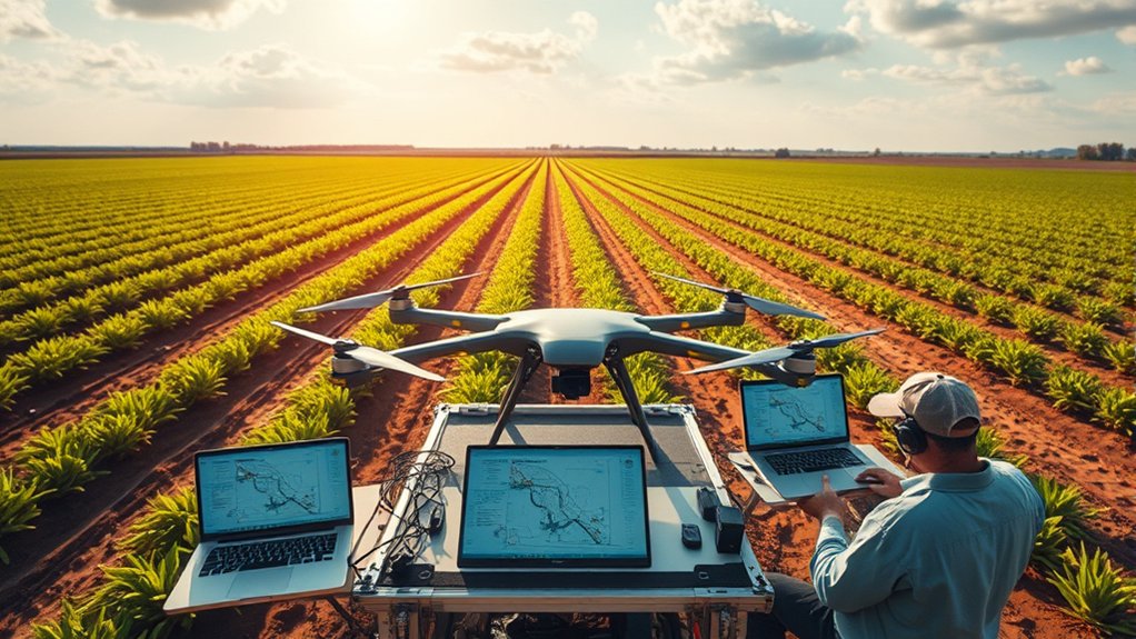
When preparing for drone deployment in mapping irrigation problems, equipping UAVs with the right tools is essential for accurate and actionable data. The best setup depends on your crop, field size, budget, irrigation system, and the type of problem you need to detect.
- Drones equipped with high-quality multispectral cameras to assess vegetation health and irrigation efficiency.
- Flight planning software such as DJI Pilot 2 or DroneDeploy to create grid-based missions and ensure complete field coverage during data collection.
- GNSS receivers or RTK support for more precise positioning and georeferencing of your mapping data.
- Thermal imaging sensors to detect water stress and pinpoint under-irrigated areas by capturing temperature variations.
- RGB cameras for visible crop patterns, wet areas, dry patches, and surface problems.
- Ground-control or check points when higher map accuracy is needed.
After data collection, use photogrammetry software such as Pix4D Mapper, Pix4Dfields, DroneDeploy, or Aerobotics Aeroview to process your imagery and generate actionable insights. Your final maps may include orthomosaics, NDVI maps, thermal layers, elevation models, and zone reports.
Warning: Follow all local drone rules, airspace restrictions, privacy requirements, and pesticide or farm-safety protocols before flying. Do not fly near people, roads, livestock, airports, or power lines unless your operation is legally allowed and safely planned.
Steps for Conducting Drone Mapping for Irrigation Issues
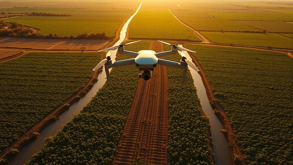
With the right equipment and software in place, you can conduct drone mapping to identify and address irrigation issues. The process works best when each flight follows a consistent method so you can compare results over time.
Step 1: Define the Irrigation Problem
Start by deciding what you want to find. You may be looking for dry zones, overwatered areas, clogged emitters, leaking lines, pressure issues, drainage problems, or crop stress after a heat event. A clear goal helps you choose the right sensor and flight timing.
Step 2: Choose the Right Drone and Sensor
Select a suitable drone for your field size and mapping goal. A multispectral drone can help assess plant vigor, while a thermal-capable drone can help identify canopy temperature differences. RGB imagery is useful for visible problems, but it may not detect early water stress as well as specialized sensors.
Step 3: Plan a Repeatable Flight Path
Use flight planning software to create a grid-based flight path. Keep altitude, overlap, speed, and camera angle consistent between missions. This makes it easier to compare maps before and after irrigation changes.
Step 4: Fly at the Right Time
For visual mapping, avoid harsh shadows when possible. For thermal mapping, timing matters because canopy temperature changes through the day. Many growers compare flights under similar weather conditions so differences are more likely to reflect field issues rather than light, wind, or temperature changes.
Step 5: Process the Imagery
Process the images in mapping software to create an orthomosaic and the needed index maps. For multispectral data, this may include NDVI or NDRE. For thermal data, this may include canopy temperature maps. Make sure sensor calibration, overlap, and georeferencing are accurate enough for your use case.
Step 6: Compare Map Patterns With Irrigation Zones
Overlay the map with irrigation blocks, valve zones, pivot paths, drip lines, elevation changes, or soil-type zones. Patterns that match irrigation infrastructure often point to system problems. Patterns that follow soil texture or slope may point to water-holding capacity, runoff, or drainage issues.
Step 7: Ground-Truth the Problem Areas
Visit the flagged zones and verify what the drone detected. Check emitters, sprinklers, filters, valves, pressure, leaks, soil moisture, root-zone condition, salinity, disease, pests, and nutrient status. Drone mapping is strongest when paired with field confirmation.
Step 8: Fix, Monitor, and Compare Again
Make the needed irrigation repair or schedule change, then fly again under similar conditions. Compare the new map with the earlier map to see whether crop stress declined, coverage improved, or the same problem returned.
Pro Tip: Save every flight with the date, crop stage, weather, irrigation timing, sensor used, and notes from your ground checks. These records make future maps much easier to interpret.
Analyzing Aerial Data to Identify Irrigation Problems
To identify irrigation problems effectively, you need to combine advanced data collection techniques with practical field knowledge. By analyzing NDVI maps, thermal data, RGB imagery, and irrigation-zone records, you can pinpoint areas of water stress and uneven coverage in your crops. This information helps you make timely decisions and optimize your irrigation management.
Data Collection Techniques
Drones improve data collection in agriculture, especially when you need to identify irrigation problems across large areas. By using advanced technology, you can gain critical insights into your field conditions.
- Drones equipped with multispectral cameras capture NDVI data that may reveal water-stress patterns.
- Thermal imaging identifies temperature variations that can highlight under-irrigated zones.
- High-resolution aerial imagery helps pinpoint specific irrigation issues, such as clogged emitters or wet patches.
- Regular drone flights enable continuous monitoring of crop health and support timely interventions.
- Elevation and drainage maps help explain recurring wet or dry zones.
Analyzing NDVI Maps
Analyzing NDVI maps allows for a targeted assessment of irrigation issues within your fields. Using drones, you can capture multispectral imagery that compares reflectance from near-infrared and visible light. Healthy vegetation often produces higher NDVI values, while stressed vegetation often produces lower values.
| NDVI Value Range | Possible Irrigation Status |
|---|---|
| 0.8 – 1.0 | Strong vegetation vigor, depending on crop type and growth stage |
| 0.5 – 0.7 | Moderate to healthy growth, but compare with field history |
| 0.3 – 0.4 | Possible stress, thin stand, bare soil influence, or uneven irrigation |
| 0.2 – 0.3 | Likely low vegetation vigor or severe crop stress |
| 0.0 – 0.2 | Bare soil, very poor crop health, water, residue, or non-crop areas |
NDVI values are not universal proof of irrigation stress. Crop type, growth stage, soil background, shadows, disease, nutrient deficiency, and sensor calibration can change the reading. Regularly analyzing these maps helps identify uneven irrigation coverage, but ground checks are still required before final decisions.
Thermal Imaging Insights
Thermal imaging is useful for identifying possible irrigation problems because water-stressed plants often run warmer than well-watered plants under similar conditions. By analyzing aerial thermal data, you can identify zones that deserve immediate inspection.
- Detect temperature variations that may indicate water stress from under-irrigation or system failures.
- Locate dry patches that may suggest clogged emitters or malfunctioning irrigation lines.
- Combine thermal imaging with NDVI to visualize uneven water coverage more clearly.
- Improve irrigation scheduling by comparing crop heat stress with growth stages and recent watering events.
Using drones equipped with thermal sensors allows you to cover large areas rapidly. This approach can reduce crop damage, improve irrigation timing, and support more efficient water application when paired with field verification.
Common Patterns That Reveal Irrigation Problems
Drone maps become more useful when you know what patterns to look for. Some irrigation problems create shapes that match equipment layout, while others follow natural field conditions.
| Map Pattern | Possible Cause | What to Check First |
|---|---|---|
| Straight stressed rows | Clogged drip line, blocked emitter, pressure problem, or planter issue | Emitters, filters, line pressure, and crop stand |
| Circular or arc-shaped stress | Center pivot nozzle, sprinkler package, or pressure issue | Nozzles, regulators, end gun, and pivot speed |
| Low areas with weak growth | Poor drainage, ponding, salinity, root damage, or overwatering | Soil moisture, drainage, roots, and salinity |
| High areas with warmer canopy | Low soil moisture, runoff, shallow soil, or low water pressure | Soil depth, slope, moisture, and irrigation uniformity |
| Patchy stress with no irrigation pattern | Disease, pests, compaction, nutrient deficiency, or soil variation | Scouting, tissue tests, soil tests, and compaction checks |
Targeted Interventions Based on Mapping Data
By leveraging drone mapping data, you can implement targeted interventions that improve irrigation efficiency. Using NDVI and thermal imagery, you can identify areas experiencing water stress, then adjust irrigation schedules, repair equipment, or inspect soil conditions in specific zones.
Analyzing thermal maps can reveal under-irrigated zones, helping you prioritize corrective actions that support water conservation and crop health. Drone data also helps pinpoint clogged emitters, broken lines, low-pressure zones, or sprinkler coverage issues. Timely repairs can reduce water loss and improve the reliability of your irrigation system.
Drone mapping can also support variable rate irrigation when the system and field conditions allow it. Instead of applying one irrigation amount across every acre, you can adjust watering based on crop demand, soil capacity, elevation, and past stress patterns. This works best when drone maps are combined with soil moisture sensors, weather data, yield maps, and irrigation-system performance records.
The most useful drone map is not the prettiest one. It is the map that helps you find a real field problem, verify it on the ground, and make a better irrigation decision.
Case Studies: Successful Drone Applications in Irrigation
Successful applications of drone technology in irrigation show how precision agriculture can improve water management and crop monitoring. The exact results vary by crop, climate, sensor quality, irrigation type, and management practices, but the workflow remains similar: map, interpret, ground-check, repair, and monitor again.
- In vineyard irrigation, drones using thermal imaging can help identify distressed vine rows and guide irrigation checks.
- In cotton production, NDVI mapping can support the detection of under-irrigated zones and uneven crop vigor.
- In orchards, drone monitoring can help farmers compare canopy health and adjust irrigation schedules by block.
- In pasture and dairy systems, aerial imagery can help reveal uneven water distribution and poor drainage areas.
These examples illustrate how drones can address irrigation challenges, optimize resource use, and support agricultural productivity. However, drone maps should not be treated as a standalone diagnosis. Strong results come from combining aerial data with agronomy knowledge, irrigation testing, and field records.
Best Practices for Optimizing Drone Mapping Efficiency
To optimize your drone mapping efficiency, focus on effective flight planning techniques, appropriate sensor selection, and a streamlined data processing workflow. Grid-based flight patterns help ensure complete coverage, while multispectral and thermal sensors provide helpful insights into irrigation issues. Advanced software can improve your ability to generate useful maps quickly.
Flight Planning Techniques
When planning drone flights for mapping irrigation issues, using advanced flight planning software helps ensure systematic coverage of the entire field. To improve data collection and mapping efficiency, follow these best practices:
- Set flight altitude based on sensor resolution, field size, and local rules.
- Use enough front and side overlap for reliable image stitching.
- Schedule flights under consistent light, wind, and weather conditions when comparing maps over time.
- Plan flight paths around battery life so data capture is not interrupted.
- Avoid flying immediately after unusual weather unless you are intentionally mapping that event.
- Keep the same flight settings for repeat monitoring whenever possible.
Sensor Selection Criteria
Selecting the right sensors for drone mapping in irrigation management is crucial because it directly affects the quality of data you collect. Prioritize multispectral cameras when you need to monitor plant health and soil moisture patterns through indices like NDVI and NDRE.
Incorporate thermal imaging sensors when you need to spot temperature variations that may indicate under-irrigation, overwatering, blocked emitters, or system failures. High-resolution RGB cameras complement multispectral data by providing detailed aerial imagery that reveals uneven crop growth, ponding, bare spots, and visible system damage.
Confirm that each sensor is compatible with your drone’s payload capacity, flight time, and software workflow. Heavier sensors can reduce battery life, so you may need more flights or a larger drone for the same field.
Data Processing Workflow
An efficient data processing workflow is essential for drone mapping in irrigation management, especially when you need actionable insights quickly. To improve your workflow, consider these best practices:
- Use flight planning software for repeatable flight paths and consistent coverage.
- Organize imagery by date, field, crop, sensor, and irrigation event.
- Use real-time or fast processing when irrigation decisions are time-sensitive.
- Use multispectral and thermal imaging to evaluate water stress and irrigation efficiency.
- Integrate drone data with mapping software for smoother data transfer and decision-making.
- Calibrate sensors and cameras regularly to improve data accuracy.
Reliable data helps you identify irrigation issues across different crops and terrains. It also helps you track whether changes are working after you repair a line, adjust a schedule, or modify watering zones.
Troubleshooting Common Drone Mapping Problems
Drone mapping can create misleading results when flight conditions, sensor setup, or processing settings are inconsistent. Before acting on a map, check for errors that may have affected the data.
| Problem | Likely Cause | Fix |
|---|---|---|
| Map has gaps | Low overlap, battery interruption, or missed flight lines | Refly with higher overlap and better mission planning |
| NDVI looks inconsistent | Changing light, shadows, poor calibration, or crop-stage differences | Use calibration panels and fly under more consistent conditions |
| Thermal map shows false hot spots | Bare soil, rocks, roads, shadows, or mixed pixels | Mask non-crop areas and verify with ground checks |
| Stress pattern does not match irrigation layout | Pests, disease, nutrients, compaction, salinity, or soil variation | Scout the zone before changing irrigation |
| Maps do not align across dates | Poor georeferencing or inconsistent flight settings | Use RTK, ground control, or consistent mission settings |
Future Trends in Drone Mapping for Agriculture
As advancements in AI and machine learning continue to reshape agricultural practices, the future of drone mapping is set for major growth. Drones provide enhanced agriculture mapping capabilities through the integration of advanced sensors, such as hyperspectral cameras, improved thermal sensors, and better multispectral systems.
These sensors may allow growers to assess soil health, moisture stress, crop vigor, and irrigation performance with greater precision. Real-time monitoring will likely become more common, enabling faster responses to irrigation issues and supporting sustainable farming practices.
As drone technology becomes more accessible, smallholder farms may also gain access to scalable solutions that support efficient farming and higher yields. Collaborative platforms may continue to connect farmers, agronomists, drone-service providers, and technology companies. These tools can support predictive analytics, helping you make better irrigation decisions before stress becomes visible.
Related Guides
Frequently Asked Questions
How do you map irrigation problems using a drone?
To map irrigation problems using a drone, choose the right sensor, plan a grid-based flight, capture consistent imagery, process the data into maps, and compare the results with irrigation zones. Then ground-check the stressed areas before making repairs or schedule changes.
How do drones assist in irrigation management?
Drones assist in irrigation management by detecting crop stress patterns, creating NDVI and thermal maps, checking irrigation uniformity, and helping you prioritize field inspections. They reduce broad manual scouting and help you focus on the zones most likely to need attention.
How do you map property with a drone?
To map property with a drone, select a drone with a suitable camera, plan a grid-based flight path, capture overlapping images, process the data with photogrammetry software, and review the final map for boundaries, terrain, crop patterns, or irrigation features.
Can a drone app be used for mapping?
Yes, a drone app can be used for mapping. Flight planning apps help create automated paths, collect overlapping images, and organize the data for processing. For irrigation work, choose an app that supports your drone, sensor, map type, and export needs.
Is NDVI enough to diagnose irrigation problems?
NDVI is helpful, but it is not enough by itself. Low NDVI may come from water stress, pests, disease, nutrient deficiency, poor stand, shadows, or soil background. Use NDVI as a screening layer, then confirm findings with thermal data, soil moisture checks, and field scouting.
When is the best time to fly a drone for irrigation mapping?
The best time depends on the sensor and goal. For thermal mapping, fly under similar weather conditions when crop temperature differences are meaningful. For RGB and multispectral mapping, avoid extreme shadows, glare, high winds, and rapidly changing cloud cover when possible.
Conclusion
By leveraging drone technology, you can improve irrigation management, protect crop health, and optimize water use. Drone maps help you identify water-stressed areas, uneven irrigation coverage, clogged emitters, drainage problems, and recurring field patterns that deserve closer inspection.
The best results come from a repeatable workflow: plan the flight, capture quality data, process reliable maps, compare patterns with irrigation zones, ground-check the results, and monitor again after changes. When you combine drone mapping with field knowledge, irrigation records, and soil moisture data, you can make better decisions and build a more efficient farming system.
Sources
- Federal Aviation Administration UAS — drone operation rules and airspace safety guidance.
- USGS Water Science School: Irrigation Water Use — background on irrigation water use and water-management context.
- USDA NRCS Irrigation — irrigation conservation and water-management guidance.
- USDA Agricultural Research Service — agricultural research context for crop monitoring, irrigation, and precision agriculture.
