How Long Does Drone Photogrammetry Processing Take? (Image Count vs Hardware Table)
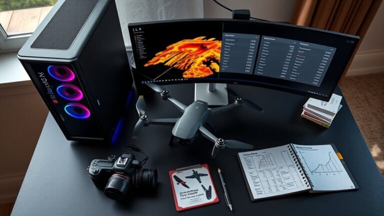
Just how long drone photogrammetry takes depends on image count and hardware, and our table reveals the surprising bottlenecks next.
 Nathan Rhodes
Just how long drone photogrammetry takes depends on image count and hardware, and our table reveals the surprising bottlenecks next.
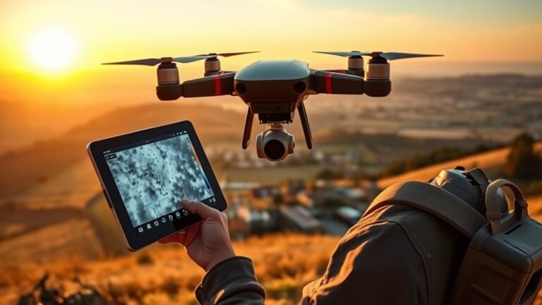
Flying thermal drones demands more than images—discover the cameras, rules, and radiometric data that turn heat spots into reliable maps.
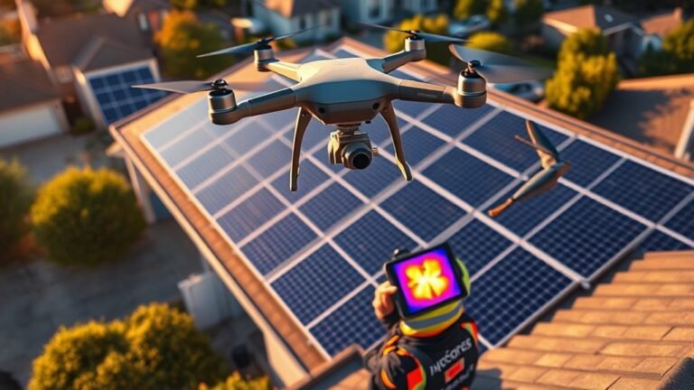
Just how small installers can combine thermal and RGB drone inspections to spot PV issues faster, with IEC 62446-3 guiding the workflow.
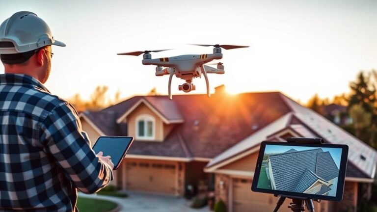
Measuring a roof with a drone can be remarkably precise, but the photogrammetry workflow hides a few critical steps most roofers overlook.
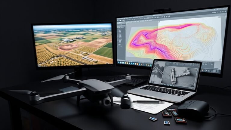
Discover how DroneDeploy exports can transform into AutoCAD and DXF files—and why some drone data still won’t behave as expected.
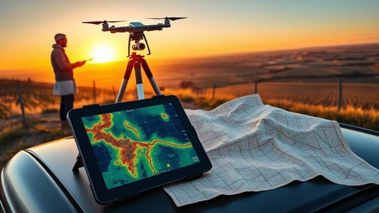
Different coordinate systems can quietly shift drone maps, but one export setting may be the hidden reason your orthomosaic never lines up.
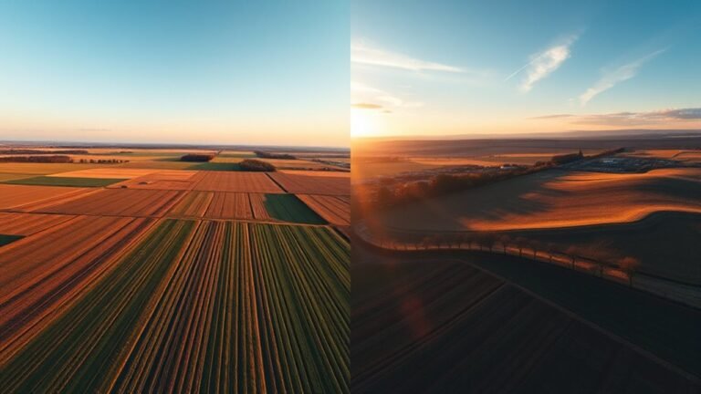
Both drone views reveal different truths, but only one combined workflow shows what your map or model is still missing.
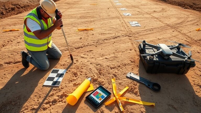
Ground control points anchor drone maps, but checkpoints reveal the truth—discover which one hides costly error and how to spot it.
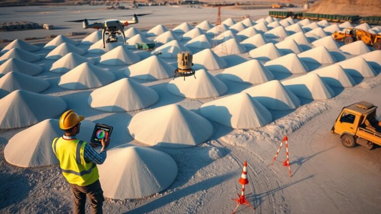
Learn how drone videogrammetry turns a quick orbit into a stockpile volume estimate—and which hidden settings can quietly change the result.
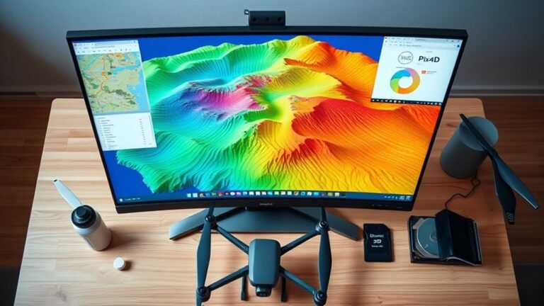
I compare WebODM, QGIS, and Pix4D contour workflows from drone data, revealing which outputs are most accurate and why the best choice is not obvious.