How to Generate Contour Lines From Drone Data (WebODM, QGIS, Pix4D)
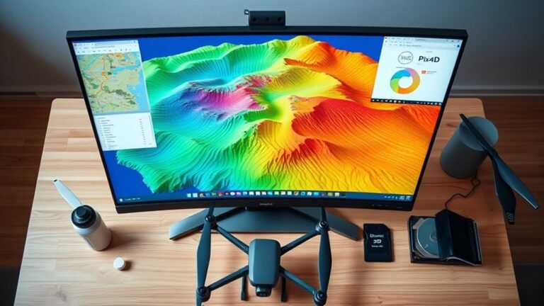
I compare WebODM, QGIS, and Pix4D contour workflows from drone data, revealing which outputs are most accurate and why the best choice is not obvious.
 Nathan Rhodes
I compare WebODM, QGIS, and Pix4D contour workflows from drone data, revealing which outputs are most accurate and why the best choice is not obvious.
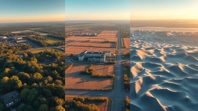
Learn which elevation model fits your drone project best before a small mistake skews slopes, drainage, or volumes.
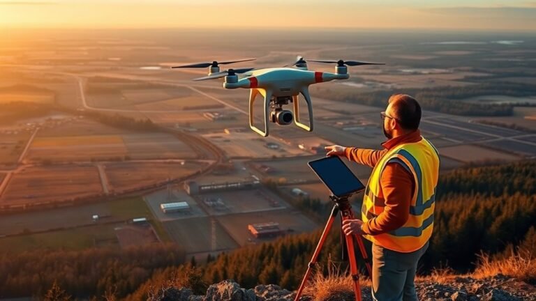
I’ll reveal when front and side overlap should change your drone map quality, and why the wrong setting can quietly ruin results.
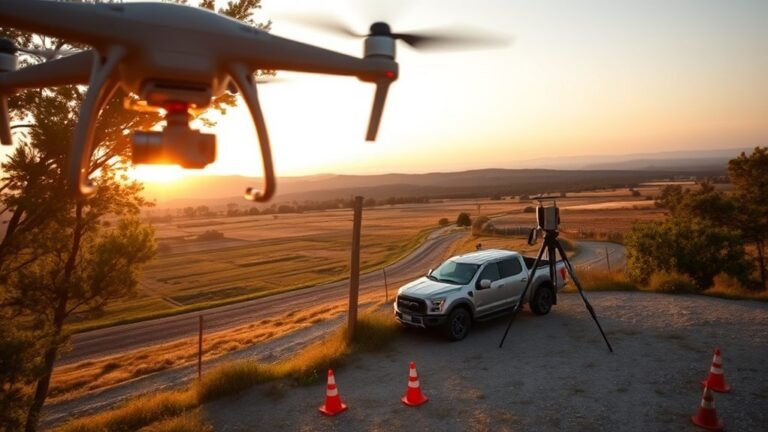
Map your drone’s ideal altitude for the accuracy you need, and discover how GSD, sensor size, and overlap change everything.
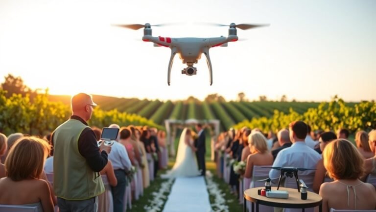
Wedding drone filming demands rules, timing, and etiquette—discover the shot list and backup plans that keep your footage stunning.
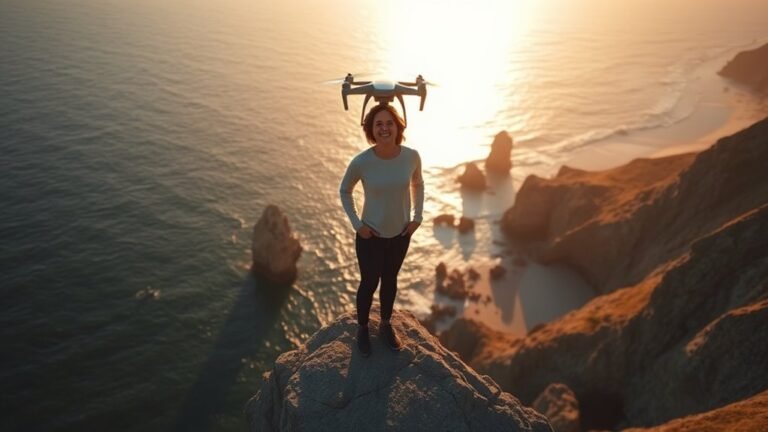
Optimize your drone selfie with simple angles and timing, then discover the one trick that keeps dronies looking natural.

I explore DJI exposure tools—histograms, zebra stripes, and warnings—to show which one to trust, and which can still fool you.
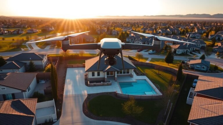
Unlock better real estate drone photos with the right shot list, angles, heights, and settings, and discover what transforms listings next.
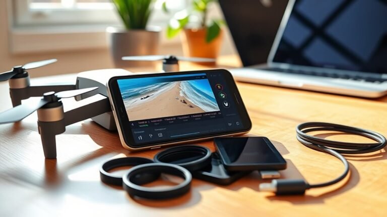
Great drone edits start on your phone, but one small tweak in LightCut, CapCut, or DJI Fly Editor can completely change the reveal.
In drone timelapse settings, static and hyperlapse workflows differ sharply—discover the exact intervals, settings, and mistakes that can make or break yours.