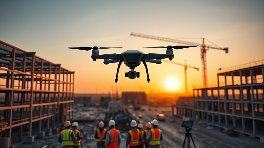
The best DJI drone for construction with waypoints depends on your site size and how accurate your data must be. For large sites, LiDAR and survey work, the DJI Matrice 350 RTK is the strongest choice. For daily progress flights on small and mid-size sites, the Matrice 4E or the Mavic 3 Enterprise is a better fit. The Mavic 4 Pro is a creator camera drone. It is good for visuals, but it is not a survey tool. New DJI models are blocked in the US, so availability varies.
Key Takeaways
- Matrice 350 RTK: best for large sites. Built-in RTK, up to 55 minutes with no payload, IP55 protection and support for LiDAR, thermal and survey cameras.
- Matrice 4E: a small mapping drone at 1,219 g with RTK, a 4/3-inch 20 MP camera with a mechanical shutter and up to 49 minutes of flight.
- Mavic 3 Enterprise: a 915 g drone with a 20 MP mechanical-shutter camera and up to 45 minutes. RTK is an optional module.
- Mavic 4 Pro: a great camera, but no RTK. Use it for visuals, not for survey measurements.
- Waypoints repeat the same flight path. RTK makes the positions accurate to about a centimetre.
Best DJI Drone for Construction Waypoints
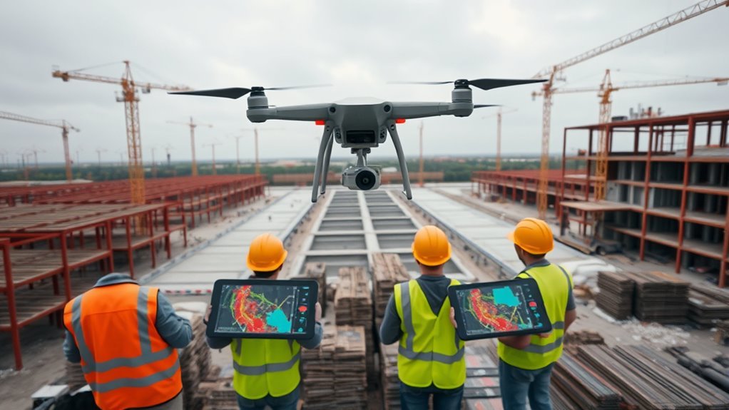
Pick by site size and by the data you need. On DJI enterprise aircraft you plan missions in DJI Pilot 2 or in DJI FlightHub 2. You can draw waypoint, area and linear routes, save them and fly them again.
| Model | Best for | Weight | Max flight time | RTK |
|---|---|---|---|---|
| Matrice 350 RTK | Large sites, LiDAR, thermal | About 6.47 kg with two batteries, no payload | Up to 55 min with no payload | Built in |
| Matrice 4E | Small to mid-size sites and mapping | 1,219 g | Up to 49 min | Built in |
| Mavic 3 Enterprise | Daily progress photos and small maps | 915 g | Up to 45 min | Optional module |
| Mavic 4 Pro | Site visuals and marketing footage | About 1,063 g | Up to 51 min | None |
Flight times are the makers’ maximums in ideal conditions. Real flights are shorter, and heavy payloads cut flight time further.
Why Waypoints Matter on Construction Sites
A waypoint mission saves the route, height, speed and camera angle. Flying the same mission every week gives you photos from nearly the same spots, so changes are easy to see.
Repeatable Flight Paths
A saved route removes guesswork. The drone follows the same lines each time, so your photos overlap the same way and your maps stitch together cleanly. How closely the path repeats depends on positioning. Normal GPS can drift by a few metres. DJI lists RTK accuracy of 1 cm + 1 ppm horizontally for the Matrice 350 RTK, Matrice 4E and the Mavic 3 Enterprise RTK module.
Progress Comparisons
Photos taken from the same spot make changes in earthwork, steel and stockpiles easy to spot. Orthomosaics and 3D models from repeat flights can be compared with your design plans in survey or BIM software.
Safer, Planned Missions
A planned route means fewer manual stick moves and less time near cranes, trenches and stockpiles. The pilot must still watch the aircraft. Automation does not make a flight legal by itself. FAA rules still apply (see the rules section below).
DJI Mavic 4 Pro for Site Visuals
The Mavic 4 Pro has a 4/3-inch Hasselblad main camera, a 70 mm and a 168 mm telephoto camera, and up to 51 minutes of flight. DJI sells it as a camera drone for creators, not as an enterprise survey aircraft.
What It Can Do
It is a good choice for marketing photos, site walk-throughs and quick progress shots. Check that the waypoint option is available on your aircraft and firmware before you plan around it.
What It Cannot Do
It has no RTK, so its positions are only as accurate as normal GNSS. Do not use it for volumes or layout checks unless you add ground control points. If measurements matter, choose an enterprise aircraft.
DJI Mavic 3 Enterprise for Daily Progress
The Mavic 3 Enterprise weighs 915 g and has a 4/3-inch, 20 MP wide camera with a mechanical shutter. A mechanical shutter avoids the stretched, wobbly look that fast-moving drones can create with an electronic shutter. It also has a 12 MP telephoto camera with up to 56x hybrid zoom.
DJI lists up to 45 minutes of flight. An RTK module is available as an option and gives centimetre-level positioning. You can plan waypoint and area missions in DJI Pilot 2 and process the photos in DJI Terra.
It is an older model, so check stock and support. The Matrice 4E is DJI’s newer small mapping aircraft.
DJI Matrice Drones for Larger Surveys
Matrice 350 RTK. This is the aircraft for large sites. It weighs about 6.47 kg with two batteries and no payload. DJI lists up to 55 minutes with no payload, an IP55 rating, 12 m/s wind resistance and built-in RTK. It works with payloads such as the Zenmuse L2 LiDAR, the P1 survey camera and the H30T zoom and thermal camera. Use it for grading, stockpiles, corridors and large progress maps.
Matrice 4E. This is the smaller option at 1,219 g. It has a 4/3-inch, 20 MP wide camera with a mechanical shutter, two 48 MP telephoto cameras and RTK. DJI lists up to 49 minutes of flight and all-direction obstacle sensing. It works with DJI FlightHub 2 for planning and fleet management.
Waypoint Planning Checklist
Follow these steps before each mission.
| Step | Why it matters |
|---|---|
| Set the route and photo overlap | Photos stitch cleanly into maps |
| Fix the height and speed | Detail stays the same on every pass |
| Check airspace and local rules | Near airports you may need approval before you fly |
| Keep the drone in sight | The FAA requires it unless you hold a waiver |
| Reuse the same takeoff spot | Helps repeat flights line up. For survey work, add ground control points |
Key Specs for Construction Waypoints
- RTK: gives centimetre-level positions and makes repeat flights line up better.
- Mechanical shutter: keeps mapping photos sharp and undistorted.
- Payload options: the Matrice 350 RTK can carry LiDAR, thermal and survey cameras.
- Weather protection: the Matrice 350 RTK has an IP55 rating. Check the rating of any aircraft before you fly in rain or dust.
- Software: DJI Pilot 2 for flying, DJI FlightHub 2 for planning and fleets, and DJI Terra for processing.
Choose Your DJI Setup
- Large site, LiDAR or thermal needed: Matrice 350 RTK.
- Small to mid-size site, regular maps: Matrice 4E, or the Mavic 3 Enterprise with the RTK module.
- Quick visuals, no measurements: Mavic 4 Pro.
Do not buy more drone than your data needs. A smaller aircraft is quicker to set up and easier to carry to the site.
Rules and US Availability
- FAA rules: construction flying is commercial use. You need an FAA Part 107 remote pilot certificate, and the drone must be registered and broadcast Remote ID. Keep the drone in sight and check the airspace before each flight.
- Availability: DJI models that the FCC approved before 22 December 2025 can still be sold. New DJI models are blocked, and DJI is not officially importing some models. Ask an authorized dealer about stock and support before you plan a project. See which DJI drones can still be bought in the US and Is DJI banned in the US?
- Project rules: federal agencies cannot buy DJI drones, and some federally or state-funded projects limit DJI use. Check your contract.
- A proposal to watch: in PS Docket 26-189, the FCC has proposed limits on the sale of some already-approved foreign “military-grade” drones, with features such as thermal imaging or LiDAR. Comments closed on 2 September 2026, and we found no final rule as of 1 October 2026.
Last checked: October 2026.
Frequently Asked Questions
What Is the Best Mapping Drone in 2026?
For small and mid-size sites, the Matrice 4E, or the Mavic 3 Enterprise with the RTK module. For large sites and LiDAR, the Matrice 350 RTK.
Which DJI Drone Is the Best Value in 2026?
It depends on the job. For progress photos and small maps, the Mavic 3 Enterprise or the Matrice 4E gives you enterprise tools in a small aircraft. The Matrice 350 RTK is only worth it if you need its payloads or its size of coverage.
Which DJI Drone to Buy in 2026?
Match the drone to your site size and your data needs. In the US, also check the model’s FCC approval, the seller and the warranty before you buy.
Which Drone Is Best for Construction?
The Matrice 350 RTK for large sites and LiDAR work. The Matrice 4E or the Mavic 3 Enterprise for routine progress flights on smaller sites.
Conclusion
Waypoint missions give you repeatable flights, and RTK gives you accurate positions. Use the Matrice 350 RTK for large sites, the Matrice 4E or Mavic 3 Enterprise for regular progress capture, and the Mavic 4 Pro for visuals only. Check FAA rules, project rules and US availability before you buy. Last checked: October 2026.
