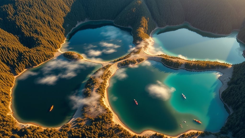
Lake Superior is the world’s largest freshwater lake by surface area, stretching across 31,700 square miles and nearly 2,730 miles of shoreline. Its cold, clear waters hold immense volume, support around 80 fish species, and sustain eagles, wolves, and lynx. Formed by ancient glacial forces, it shapes regional history, culture, and clean drinking water for communities. Its rugged cliffs, beaches, and quiet parks invite exploration, revealing even more remarkable details ahead.
Key Takeaways
- Lake Superior is the world’s largest lake by surface area, covering 31,700 square miles.
- It holds nearly 10% of Earth’s fresh surface water and is the deepest Great Lake.
- Its shoreline stretches 2,730 miles, with beaches, cliffs, forests, and quiet parks.
- Indigenous peoples, explorers, and industry have shaped its history and regional importance.
- Clean water, wildlife protection, and stewardship keep Lake Superior resilient for future generations.
Lake Superior In a Nutshell
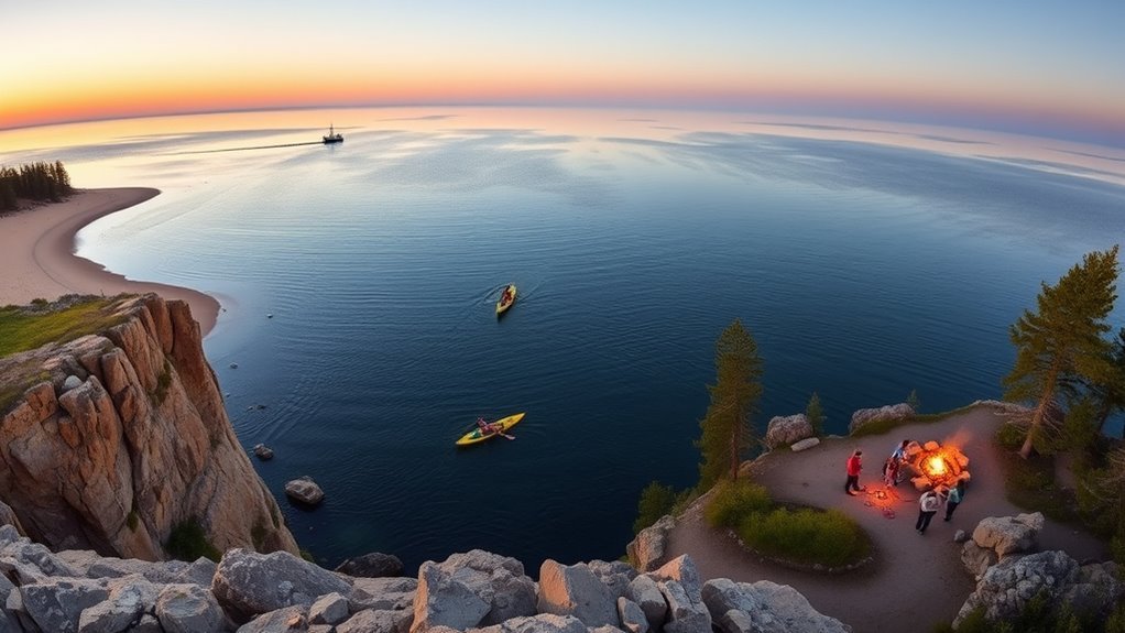
Lake Superior stands as the largest lake by surface area in the world, stretching across about 31,700 square miles and holding nearly 10% of the planet’s fresh surface water.
Lake Superior also reaches an average depth of 149 meters, and its volume exceeds that of the other four Great Lakes combined. Its 2,730-mile shoreline moves through sandy beaches, rugged cliffs, and forested edges, while more than 300 rivers and streams feed its waters.
Lake Superior’s vast volume outmatches the other Great Lakes combined, with a shoreline of striking variety.
Beneath the surface, around 80 fish species thrive, including the Siscowet trout. The surrounding landscape supports wildlife such as Gray Wolves and Canada Lynx, both tied to the lake’s broader ecological fabric.
In winter, lake effect snow shapes the region with dramatic force, adding to the area’s distinct character. Lake Superior is not simply large; it is immense, varied, and alive with raw natural presence.
Why Lake Superior Matters to the Region
Beyond its immense size and striking shoreline, Lake Superior shapes the region in practical and lasting ways.
Lake Superior holds nearly 10 percent of the planet’s surface freshwater, helping secure reliable water supplies for communities along its vast edge. About 673,000 residents depend on this lake for drinking water, and in Ontario, testing shows almost universal compliance with quality standards.
Its shoreline, still less than 5 percent developed, preserves open space for tourism, recreation, and local enterprises that benefit from a landscape not fully claimed by industry.
The lake also anchors cultural memory, inspiring artists and filmmakers while sustaining fishing and outdoor traditions across generations.
Its broad waters support regional identity, economic resilience, and a sense of shared stewardship.
In this way, Lake Superior remains more than a landmark; it is a living foundation for freedom, livelihood, and collective continuity.
Lake Superior’s Wildlife and Clean Water
A clean northern expanse sustains an unusual abundance of life. Lake Superior shelters about 80 fish species, including the rare Siscowet trout, whose survival reflects clear, cold water. Its shores and forests also support more than 10,000 bald eagles, while Gray Wolf and Canada Lynx find refuge in its protected wildlands.
| Wildlife | Clean-water benefit |
|---|---|
| Fish diversity | Stable habitat |
| Bald eagles, wolves, lynx | Healthy food webs |
Nearly 100% of drinking-water tests from the Lake Superior watershed meet Ontario standards, underscoring its role as a source of safe water. This purity is not accidental; less than 5% of the coastline is developed, leaving large areas intact. The coming Lake Superior National Marine Conservation Area will strengthen protection further, aiming to preserve both habitat and public trust in clean water. For those seeking ecological freedom, Lake Superior stands as a living example of resilience, abundance, and shared stewardship.
Lake Superior’s Geography and Ancient Shores
Stretching across 4,393 kilometers of shoreline, Lake Superior holds the largest surface area of any lake on Earth and reveals a landscape shaped by ice, stone, and time.
Its broad basin, carved from glacial depressions about 10,000 years ago, carries an average depth of 149 meters, giving it immense water volume and a commanding presence.
Along Lake Superior, ancient rocks older than 2.7 billion years rise in cliffs and rugged outcrops, while sandy beaches and sheltered coves soften the edges.
The cold waters resist complete freezing, even as storms drive waves beyond 9 meters, reminding visitors that this lake is powerful, untamed, and free.
Its diverse coastal ecosystems flourish where land and water meet, creating a shoreline that feels both timeless and alive, a place where geology still speaks clearly.
A Brief History of Lake Superior
Lake Superior began in the wake of the last Ice Age, when retreating glaciers carved a vast basin about 10,000 years ago.
Long before modern maps and shipping routes, Indigenous peoples lived along its shores, leaving pictographs and other traces of a deep cultural connection to the lake.
In later centuries, explorers and traders came to know it as the “Upper Lake,” and its waters became central to regional travel, mining, and commerce.
Glacial Origins
Formed roughly 10,000 years ago during the last Ice Age, Superior occupies glacial depressions later flooded by meltwater, creating the immense basin seen today.
These glacial origins shaped a lake of striking scale, with a surface area near 31,700 square miles, the largest among the Great Lakes. Beneath its clear waters lies an ancient landscape, where rocks older than 2.7 billion years preserve deep geological time.
As ice retreated, water pooled into the carved hollows, giving the lake its great depth and broad reach. The result is a powerful, open system where clarity, cold temperatures, and varied habitats support wildlife and plant life.
Superior’s formation reveals nature’s ability to remake the land with immense force and enduring beauty.
Indigenous Heritage
For thousands of years, the shores of Lake Superior have been home to Indigenous peoples whose lives have been closely tied to its waters, forests, and shorelines. Known as Gichigami, or “great sea,” the lake carries deep Indigenous heritage and meaning. Its water sustained fish, wild rice, and travel, while rock art and pictographs, some over 2,000 years old, record spiritual presence and belonging.
| Resource | Meaning | Use |
|---|---|---|
| Fish | Sustenance | Food |
| Wild rice | Cultural food | Harvest |
| Freshwater | Lifeblood | Survival |
| Rock art | Memory | Teaching |
Traditional ecological knowledge guided sustainable fishing and land care. Treaties such as 1854 affirmed hunting, fishing, and gathering rights, underscoring enduring sovereignty and the right to remain connected to land and water.
Modern Exploration
Beyond its enduring Indigenous heritage, Lake Superior’s more recent history reveals a different kind of exploration shaped by mapping, trade, and industry. In the 17th century, European explorers such as Jacques Marquette and Louis Jolliet traced its shores, turning Lake Superior into a route of charts, commerce, and colonial ambition.
By the mid-19th century, shipping expanded as copper and iron drew vessels across its vast waters, linking remote settlements to wider markets. Beneath this modern use, the lake itself remained young, formed about 10,000 years ago in glacial depressions above ancient rock.
Today, Lake Superior is watched with care: environmental monitoring keeps its waters remarkably clean, and nearly all drinking water tests in Ontario meet standards, signaling a future shaped by stewardship.
Best Places to Visit on Lake Superior
Lake Superior’s scenic shoreline stops and parks offer a striking mix of cliffs, beaches, and forested trails that highlight the lake’s scale and beauty.
Places such as the Apostle Islands, Split Rock Lighthouse, and Tettegouche State Park stand out for their lookouts, waterfalls, and sweeping water views.
Thunder Bay and Lake Superior Provincial Park add cultural and natural depth, giving travelers more ways to experience the lake’s varied shoreline.
Scenic Shoreline Stops
The shoreline of Lake Superior is marked by a remarkable series of scenic stops, each offering a different way to experience the lake’s vast beauty.
Apostle Islands National Lakeshore invites Lake travelers to drift past sea caves and quiet beaches, where kayaking reveals raw stone and open water.
Split Rock Lighthouse State Park rises from a cliff, pairing a historic beacon with sweeping views and trails that open onto free horizons.
Gooseberry Falls State Park draws attention with waterfalls spilling toward the Lake, while Tettegouche State Park offers rugged bluffs, fishing access, and striking photo opportunities.
Farther along, Pictured Rocks National Lakeshore displays vivid sandstone walls and shoreline routes, giving visitors a vivid sense of freedom shaped by wind, water, and rock.
Parks And Lookouts
Scattered along Lake Superior’s vast shoreline, several parks and lookouts offer some of the best places to experience the lake’s scale, color, and raw northern character.
At Apostle Islands National Lakeshore, sea caves, island trails, and kayaking routes open a feeling of boundless movement.
Pictured Rocks National Lakeshore adds sandstone cliffs, overlooks, and shoreline paths where water and stone meet in vivid contrast.
In Ontario, Lake Superior Provincial Park presents quiet wilderness, camping, hiking, and chances to see moose or wolves.
Split Rock Lighthouse State Park pairs historic architecture with commanding views and picnic spots.
Gooseberry Falls State Park brings waterfalls, fishing, and easy lake access.
Together, these parks and lookouts invite travelers to move freely, pause deeply, and witness the lake without restraint.
How to Protect Lake Superior
Protecting Lake Superior begins with steady monitoring, careful land use, and active community stewardship. Its water quality is defended through regular testing, helping nearly all drinking water meet Ontario standards and safeguard life below and beyond the shore.
This vigilance supports both public health and the lake’s vast living network, where freedom from pollution depends on disciplined care.
- Protect habitats for fish, wolves, lynx, and other wildlife.
- Reduce phosphorus runoff with sustainable agricultural practices.
- Expand conservation areas that shield fragile ecosystems.
- Invite residents into cleanups and volunteer restoration.
Such actions keep the lake resilient, allowing its 80 fish species and endangered animals to endure.
The Lake Superior National Marine Conservation Area represents a bold step, preserving a great freshwater frontier for future generations. With shared responsibility, the region can remain open, vibrant, and ecologically strong.
Plan a Trip to Lake Superior
After considering how stewardship keeps Lake Superior healthy, trip planning turns toward the lake’s scale and character.
Lake Superior is immense, spanning 31,700 square miles and holding nearly 10 percent of the world’s surface freshwater, so visitors should plan enough time to absorb its freedom. Its 2,730-mile shoreline offers sandy beaches, rugged cliffs, and quiet parks where hiking, camping, and photography open wide horizons.
Lake Superior’s vast shoreline invites unhurried exploration, where beaches, cliffs, and quiet parks open onto endless horizons.
With an average depth of 149 meters and clear water reaching 27 feet of visibility, the lake rewards anglers and explorers alike; about 80 fish species live below its surface.
Seasonal weather shapes the experience, too. Summer and early fall often provide the most comfortable conditions, while winter brings powerful lake-effect snow and a stark, luminous landscape.
Thoughtful travelers can choose routes, layers, and gear that match the season, then move through Lake Superior’s vastness with a sense of wonder and personal release.
Frequently Asked Questions
What Is the Only State With No Lake?
Maryland is the only U.S. state with Lake Absence, lacking a natural lake. Its waterways are rivers, streams, and reservoirs, shaping distinct ecosystems and recreation, while artificial Triadelphia Reservoir serves water management needs.
What Is the Most Popular Lake in the World?
Lake Superior is often regarded as the most popular lake, a colossal natural marvel. Its Lake Characteristics include vast depth, purity, and biodiversity; a medieval chronicler might marvel at its freedom-giving expanse and enduring majesty.
Which Great Lake Is Considered the Cleanest in America?
Lake Superior is generally considered the cleanest Great Lake in America. Its clear waters, limited shoreline development, and strong Lake Conservation efforts preserve remarkable purity, supporting fish, wild rice, and exceptional underwater visibility.
How to Memorize the 5 Great Lakes?
The 5 Great Lakes can be memorized with Memory Techniques: Superior, Michigan, Huron, Erie, Ontario. A mnemonic, map tracing, and repetition help the sequence feel freeing, vivid, and instantly retrievable.
Conclusion
Lake Superior stands like a great inland sea, its clear waters reflecting both ancient stone and living abundance. From wild shorelines to hidden coves, it supports remarkable wildlife, rich history, and unforgettable places to explore. Yet its beauty is not invincible; it depends on careful stewardship and respect. Travelers and locals alike are drawn to its vast, quiet power, a blue monument that deserves protection, admiration, and thoughtful planning for every journey.
